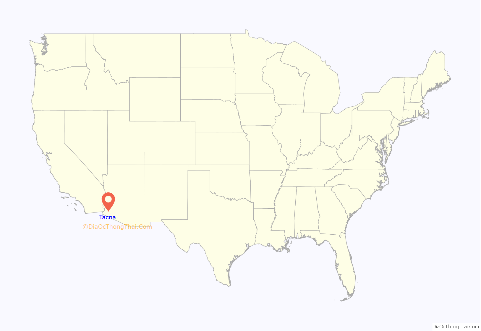
Tacna is a census-designated place (CDP) in Yuma County, Arizona, United States. The population was 555 at the 2000 census, and 602 as of 2010. It is part of the Yuma Metropolitan Statistical Area.
| Name: | Tacna CDP |
|---|---|
| LSAD Code: | 57 |
| LSAD Description: | CDP (suffix) |
| State: | Arizona |
| County: | Yuma County |
| Elevation: | 351 ft (107 m) |
| Total Area: | 1.92 sq mi (4.98 km²) |
| Land Area: | 1.92 sq mi (4.98 km²) |
| Water Area: | 0.00 sq mi (0.00 km²) |
| Total Population: | 425 |
| Population Density: | 221.12/sq mi (85.36/km²) |
| ZIP code: | 85352 |
| Area code: | 928 |
| FIPS code: | 0471790 |
| GNISfeature ID: | 1759214 |
Online Interactive Map
Click on ![]() to view map in "full screen" mode.
to view map in "full screen" mode.
Tacna location map. Where is Tacna CDP?
History
By 1859, the Butterfield Overland Mail stagecoach company had opened the Antelope Peak Station at the foot of Antelope Hill. A post office named Tacna was created following the building of the Southern Pacific Railroad in the 1870s, but did not last long. The name Tacna subsequently only referred to a railroad siding serving as a watering station. The town of Tacna was founded by Max B. Noah in the early 1920s, named after the railroad stop. At the time he sold the town in 1941, it contained a post office and a restaurant called Noah’s Ark. After the town’s sale, the post office was relocated four miles east, and the original railroad siding was renamed to Noah.
There is an apocryphal story that the name Tacna is derived from Tachnopolis, a Greek priest from California who is supposed to have settled amongst the native population. This claim appears to be entirely an invention of Noah.
Tacna Road Map
Tacna city Satellite Map
Geography
Tacna is located along Interstate 8 within the Mohawk Valley and just south of the Gila River. It is east of the Yuma Metropolitan Statical Area.
According to the United States Census Bureau, the CDP has a total area of 1.9 square miles (4.9 km), all land.
Climate
See also
Map of Arizona State and its subdivision: Map of other states:- Alabama
- Alaska
- Arizona
- Arkansas
- California
- Colorado
- Connecticut
- Delaware
- District of Columbia
- Florida
- Georgia
- Hawaii
- Idaho
- Illinois
- Indiana
- Iowa
- Kansas
- Kentucky
- Louisiana
- Maine
- Maryland
- Massachusetts
- Michigan
- Minnesota
- Mississippi
- Missouri
- Montana
- Nebraska
- Nevada
- New Hampshire
- New Jersey
- New Mexico
- New York
- North Carolina
- North Dakota
- Ohio
- Oklahoma
- Oregon
- Pennsylvania
- Rhode Island
- South Carolina
- South Dakota
- Tennessee
- Texas
- Utah
- Vermont
- Virginia
- Washington
- West Virginia
- Wisconsin
- Wyoming


