Thatcher is a town in Graham County, Arizona, United States. According to the 2010 Census, the population of the town is 4,865. It is part of the Safford Micropolitan Statistical Area.
Thatcher is the home of Eastern Arizona College (EAC), a college that offers two year degrees and includes a nursing school.
| Name: | Thatcher town |
|---|---|
| LSAD Code: | 43 |
| LSAD Description: | town (suffix) |
| State: | Arizona |
| County: | Graham County |
| Elevation: | 2,910 ft (887 m) |
| Total Area: | 6.62 sq mi (17.14 km²) |
| Land Area: | 6.60 sq mi (17.10 km²) |
| Water Area: | 0.02 sq mi (0.04 km²) |
| Total Population: | 5,231 |
| Population Density: | 792.22/sq mi (305.86/km²) |
| ZIP code: | 85552 |
| Area code: | 928 |
| FIPS code: | 0473420 |
| GNISfeature ID: | 12277 |
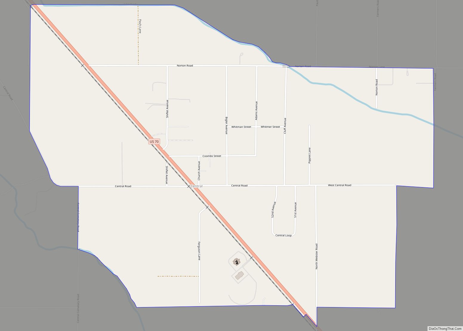
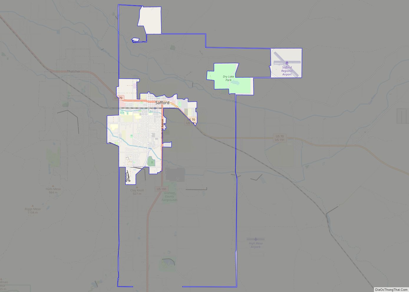
Online Interactive Map
Click on ![]() to view map in "full screen" mode.
to view map in "full screen" mode.
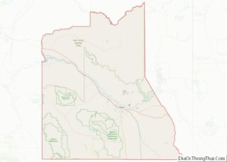
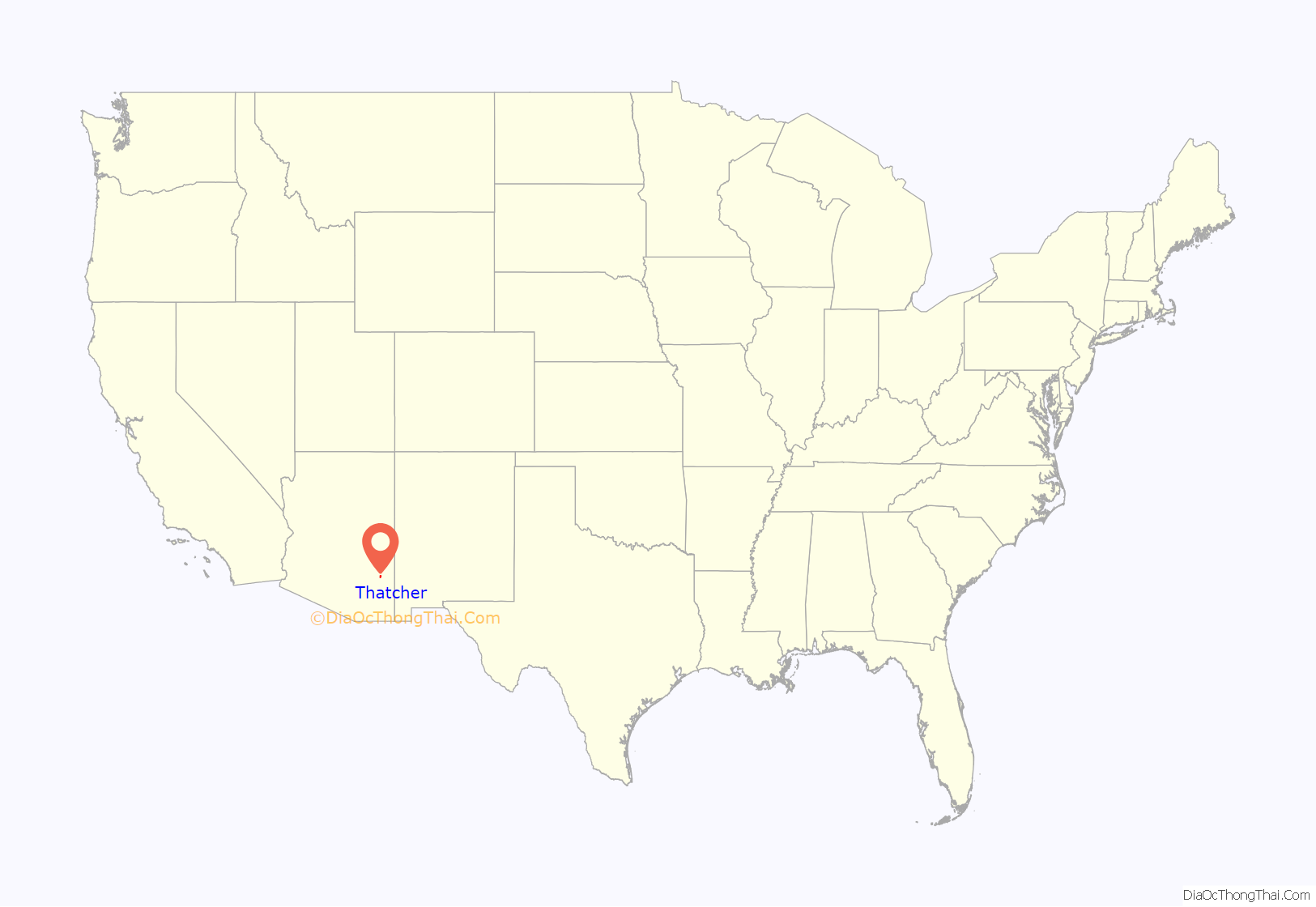
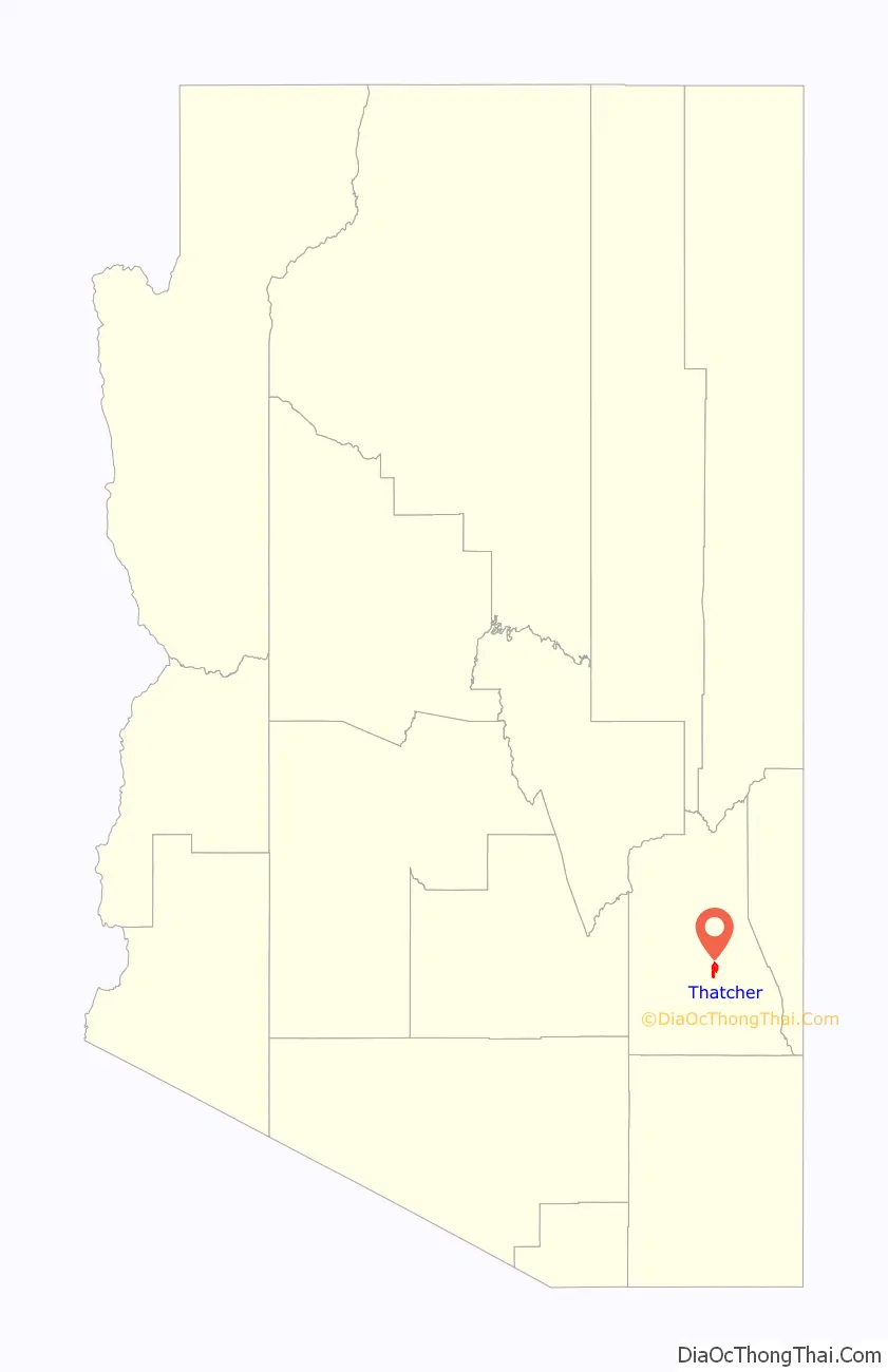
Thatcher location map. Where is Thatcher town?
History
Thatcher was originally settled by members of the Church of Jesus Christ of Latter-day Saints. The first settler was John M. Moody who arrived in Thatcher with his wife and children in 1881. The founding of Thatcher is attributed to Mormon pioneer Christopher Layton, who bought two thousand acres, named the acreage “Thatcher”, divided them into lots, and sold those lots to Mormon settlers. Layton also bought a gristmill and built roads, canals and homes.
Eastern Arizona College traces its history to the St. Joseph Stake Academy started by the church in nearby Central. Central is also the location of the Gila Valley Arizona Temple.
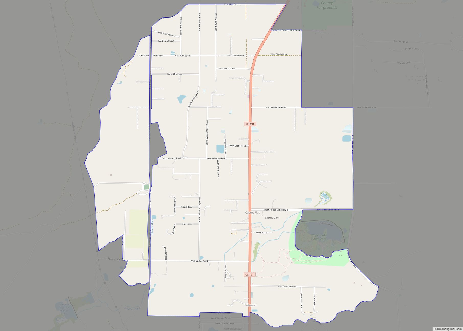
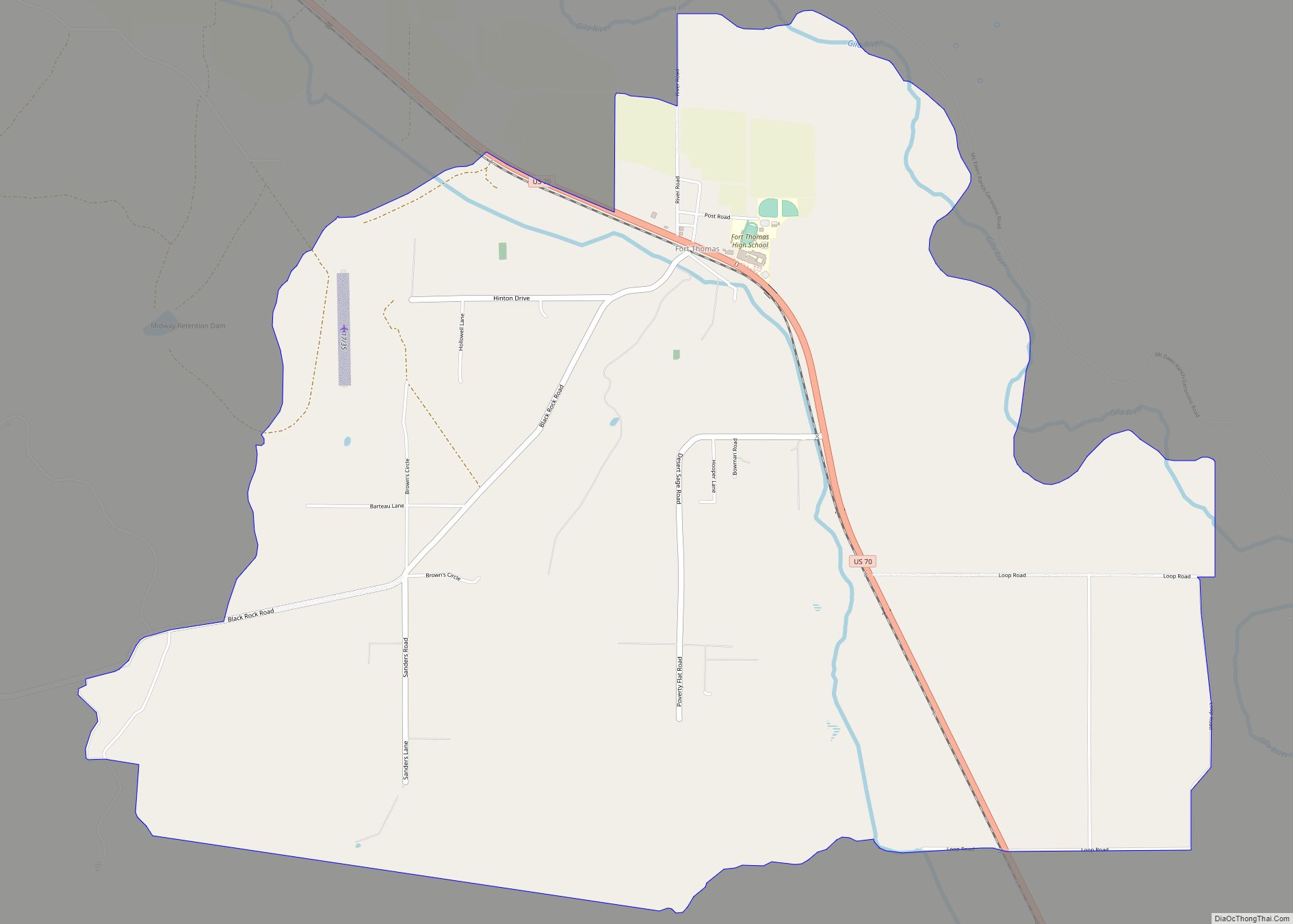
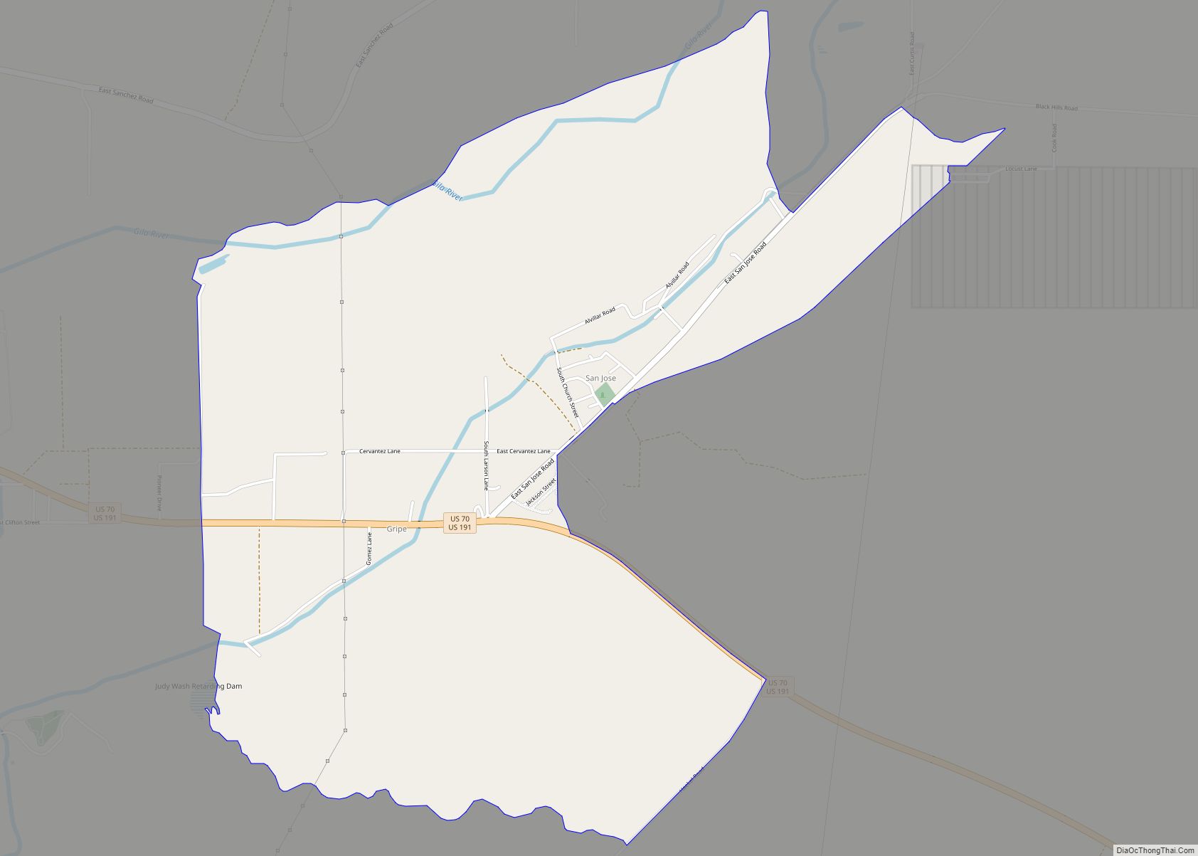
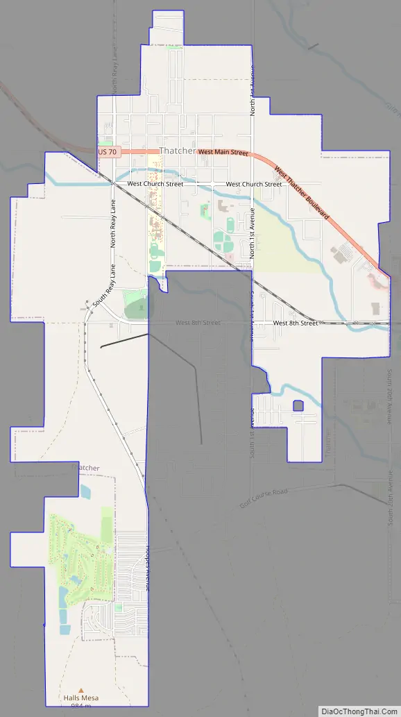
Thatcher Road Map
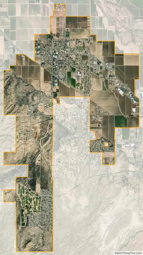
Thatcher city Satellite Map
Geography
Thatcher is located at 32°49′58″N 109°45′46″W / 32.83278°N 109.76278°W / 32.83278; -109.76278 (32.832685, −109.762879).
The town is centered in the Upper Gila River Valley with one of Arizona’s famous Madrean Sky Islands towering to the south and the Gila River to the north.
According to the United States Census Bureau, the town has a total area of 6.7 square miles (17 km), including 0.02 square miles (0.052 km) of water.
See also
Map of Arizona State and its subdivision: Map of other states:- Alabama
- Alaska
- Arizona
- Arkansas
- California
- Colorado
- Connecticut
- Delaware
- District of Columbia
- Florida
- Georgia
- Hawaii
- Idaho
- Illinois
- Indiana
- Iowa
- Kansas
- Kentucky
- Louisiana
- Maine
- Maryland
- Massachusetts
- Michigan
- Minnesota
- Mississippi
- Missouri
- Montana
- Nebraska
- Nevada
- New Hampshire
- New Jersey
- New Mexico
- New York
- North Carolina
- North Dakota
- Ohio
- Oklahoma
- Oregon
- Pennsylvania
- Rhode Island
- South Carolina
- South Dakota
- Tennessee
- Texas
- Utah
- Vermont
- Virginia
- Washington
- West Virginia
- Wisconsin
- Wyoming