Three Points is a census-designated place (CDP) in Pima County, Arizona, United States. The population was 5,581 at the 2010 census.
| Name: | Three Points CDP |
|---|---|
| LSAD Code: | 57 |
| LSAD Description: | CDP (suffix) |
| State: | Arizona |
| County: | Pima County |
| Elevation: | 2,543 ft (775 m) |
| Total Area: | 46.62 sq mi (120.73 km²) |
| Land Area: | 46.62 sq mi (120.73 km²) |
| Water Area: | 0.00 sq mi (0.00 km²) |
| Total Population: | 5,184 |
| Population Density: | 111.21/sq mi (42.94/km²) |
| FIPS code: | 0473700 |
| GNISfeature ID: | 0024652 |
Online Interactive Map
Click on ![]() to view map in "full screen" mode.
to view map in "full screen" mode.
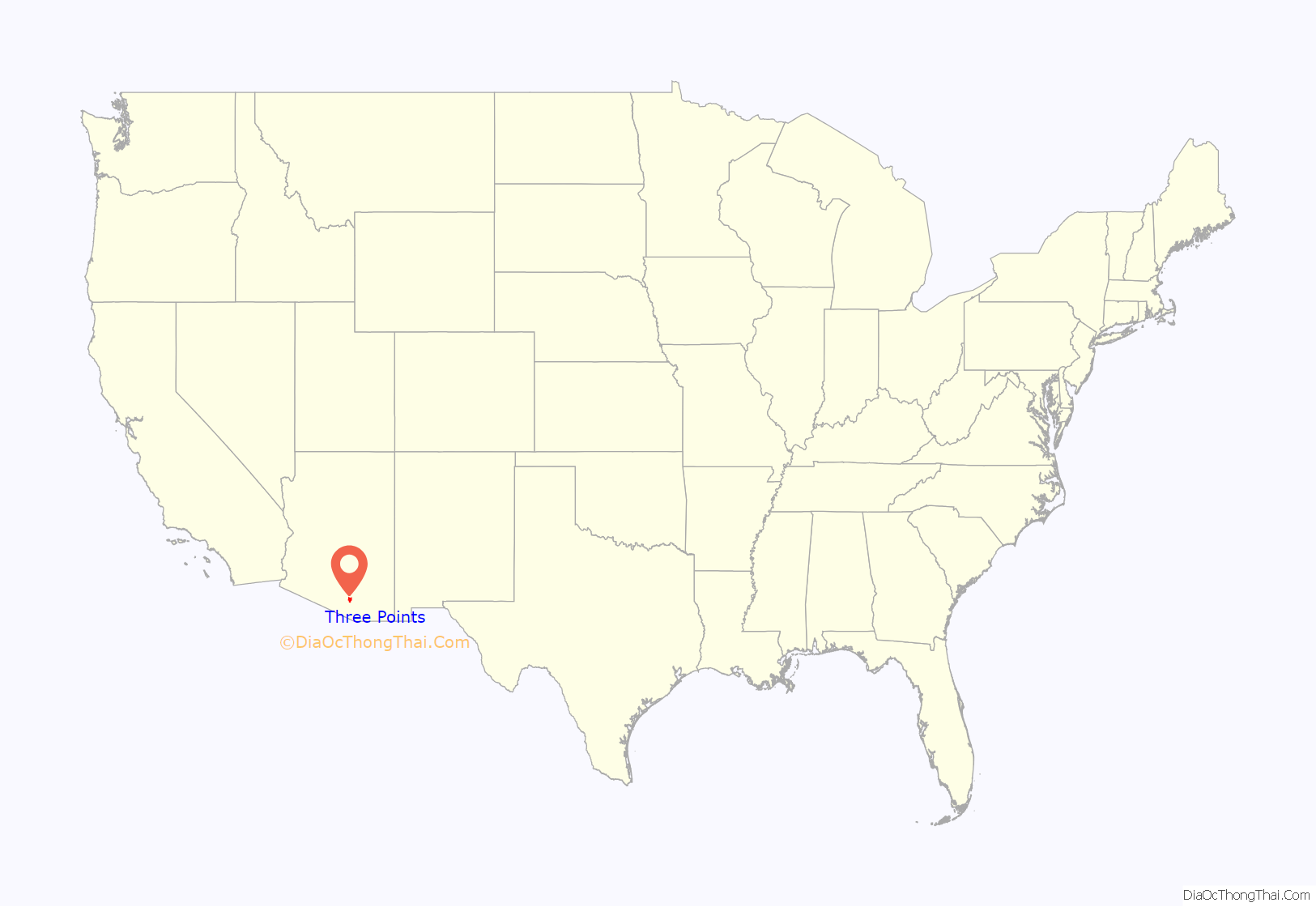
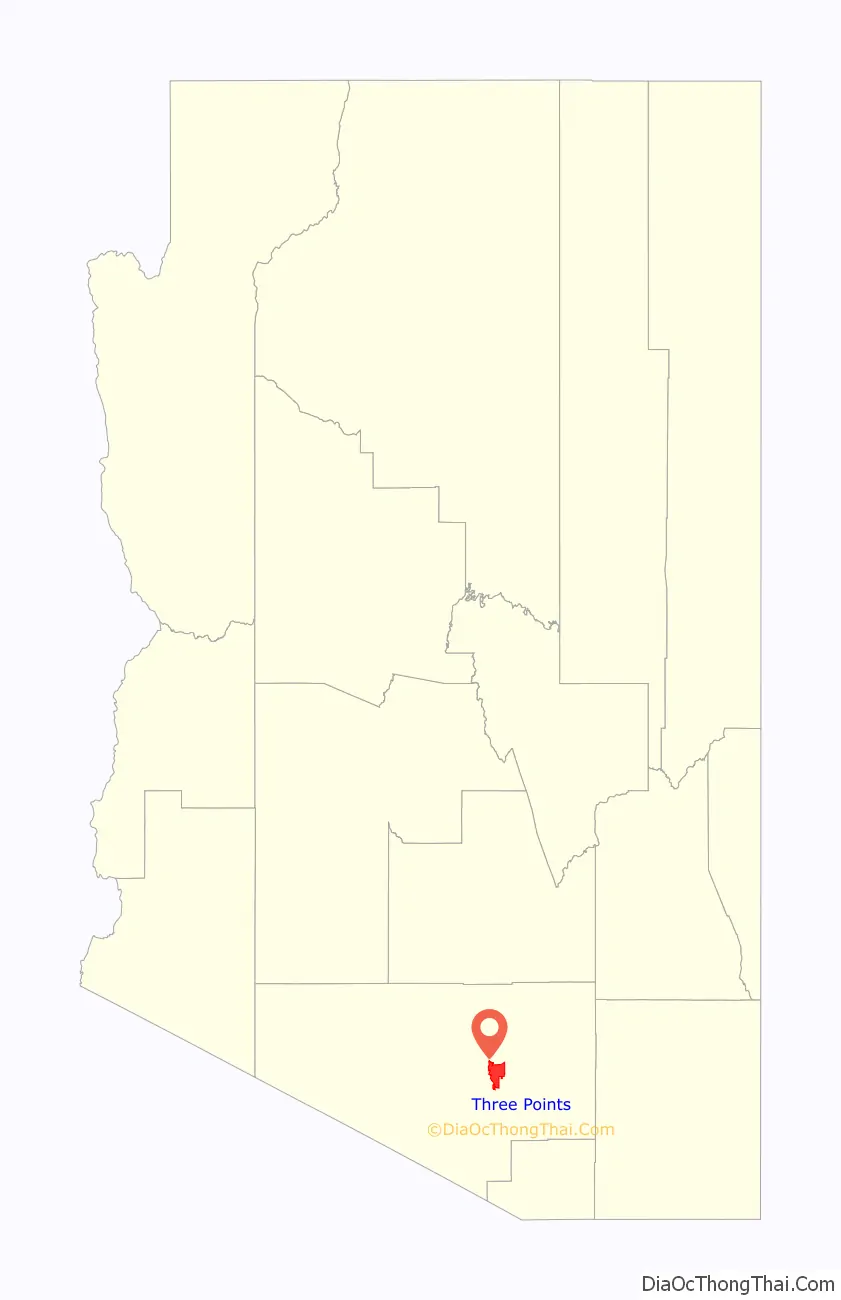
Three Points location map. Where is Three Points CDP?
History
According to David Leighton of the Arizona Daily Star newspaper, Three Points, also known as Robles Junction was founded in 1882. Bernabe S. Robles, who was born in 1857, in Baviácora, Sonora, Mexico. His family relocated to Tucson in 1864, where he grew up. After spending sometime in Florence, Arizona, he returned to Tucson and accepted a mail route to Gunsight, Arizona, near Ajo. It was during this time he located what is now called Robles Pass, near Cat (Back) Mountain, while searching for a shorter route to Gunsight. In 1882, he had his brother Jesús homesteaded 160 acres at what is now Robles Junction/Three Points. The brothers dug a well to set up a watering stop and stage station so Bernabe could water his horses along his mail route. He eventually gave up his mail route, and moved to the former watering stop/stage station, which at that point was called the Robles Ranch. He and his family ran the ranch for many years, even after the family had moved back to Tucson. Robles died in 1945. The old ranch house is now the Three Points/Robles Junction Community Center.
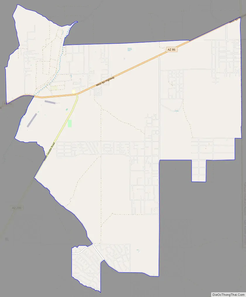
Three Points Road Map
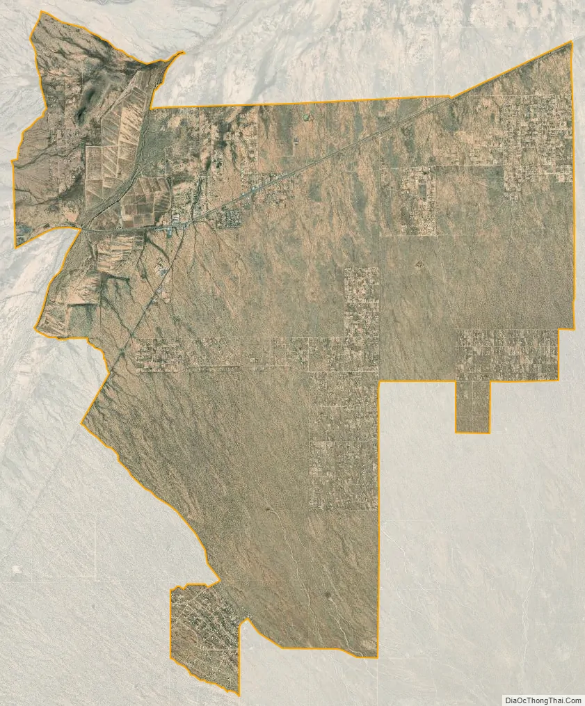
Three Points city Satellite Map
Geography
Three Points is located at 32°2′55″N 111°17′7″W / 32.04861°N 111.28528°W / 32.04861; -111.28528 (32.048652, -111.285174).
According to the United States Census Bureau, the CDP has a total area of 44.5 square miles (115 km), all land.
See also
Map of Arizona State and its subdivision: Map of other states:- Alabama
- Alaska
- Arizona
- Arkansas
- California
- Colorado
- Connecticut
- Delaware
- District of Columbia
- Florida
- Georgia
- Hawaii
- Idaho
- Illinois
- Indiana
- Iowa
- Kansas
- Kentucky
- Louisiana
- Maine
- Maryland
- Massachusetts
- Michigan
- Minnesota
- Mississippi
- Missouri
- Montana
- Nebraska
- Nevada
- New Hampshire
- New Jersey
- New Mexico
- New York
- North Carolina
- North Dakota
- Ohio
- Oklahoma
- Oregon
- Pennsylvania
- Rhode Island
- South Carolina
- South Dakota
- Tennessee
- Texas
- Utah
- Vermont
- Virginia
- Washington
- West Virginia
- Wisconsin
- Wyoming


