Tonto Village is a census-designated place (CDP) in Gila County, Arizona, United States. The population was 256 at the 2010 United States Census.
| Name: | Tonto Village CDP |
|---|---|
| LSAD Code: | 57 |
| LSAD Description: | CDP (suffix) |
| State: | Arizona |
| County: | Gila County |
| Elevation: | 5,720 ft (1,740 m) |
| Total Area: | 0.33 sq mi (0.87 km²) |
| Land Area: | 0.33 sq mi (0.87 km²) |
| Water Area: | 0.00 sq mi (0.00 km²) |
| Total Population: | 209 |
| Population Density: | 625.75/sq mi (241.37/km²) |
| ZIP code: | 85541 |
| Area code: | 928 |
| FIPS code: | 0474665 |
| GNISfeature ID: | 35390 |
Online Interactive Map
Click on ![]() to view map in "full screen" mode.
to view map in "full screen" mode.
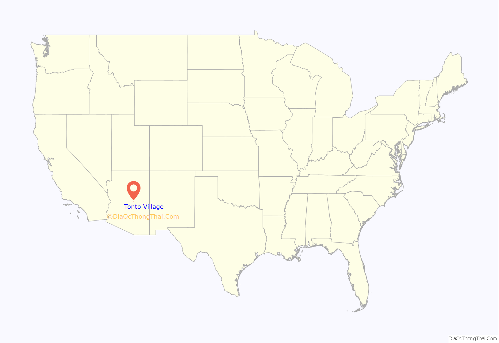
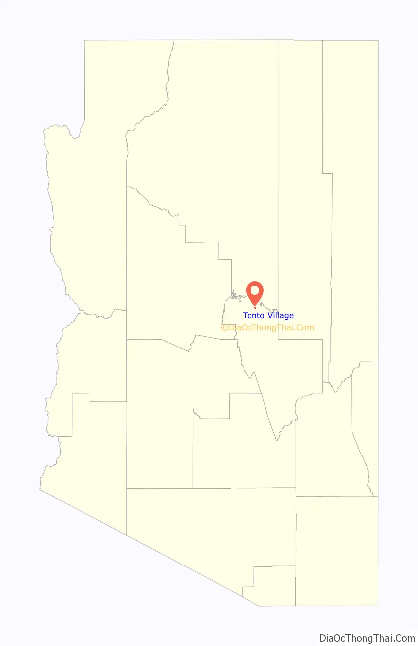
Tonto Village location map. Where is Tonto Village CDP?
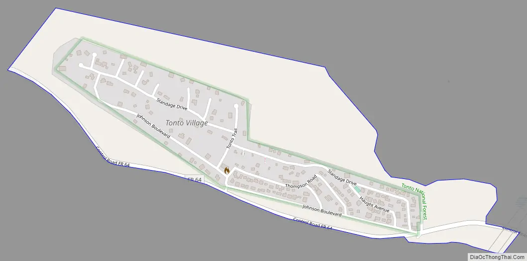
Tonto Village Road Map
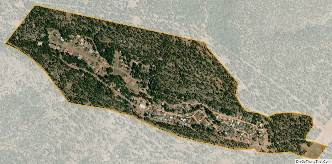
Tonto Village city Satellite Map
Geography
Tonto Village is located in northern Gila County in Thompson Draw, a valley south of the Mogollon Rim. It is 1 mile (1.6 km) west of Arizona State Route 260, which leads southwest 15 miles (24 km) to Payson.
According to the United States Census Bureau, the Tonto Village CDP has a total area of 0.34 square miles (0.87 km), all land.
It includes one restaurant. The charter school and church that were previously listed have since closed. The Fire Control road that runs through the village is the sole point of access to the Diamond Point Fire Tower.
See also
Map of Arizona State and its subdivision: Map of other states:- Alabama
- Alaska
- Arizona
- Arkansas
- California
- Colorado
- Connecticut
- Delaware
- District of Columbia
- Florida
- Georgia
- Hawaii
- Idaho
- Illinois
- Indiana
- Iowa
- Kansas
- Kentucky
- Louisiana
- Maine
- Maryland
- Massachusetts
- Michigan
- Minnesota
- Mississippi
- Missouri
- Montana
- Nebraska
- Nevada
- New Hampshire
- New Jersey
- New Mexico
- New York
- North Carolina
- North Dakota
- Ohio
- Oklahoma
- Oregon
- Pennsylvania
- Rhode Island
- South Carolina
- South Dakota
- Tennessee
- Texas
- Utah
- Vermont
- Virginia
- Washington
- West Virginia
- Wisconsin
- Wyoming


