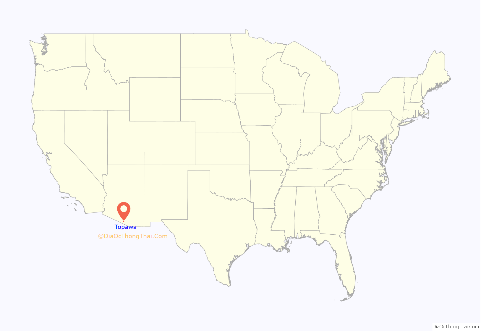
Topawa (O’odham: name Ḍo Bawui translates as “Gathering Tepary Beans”) is a census-designated place and unincorporated community in Pima County, Arizona, United States. The population was 315 as of the 2020 census. Topawa is located on the Tohono O’odham Nation reservation, 7.5 miles (12.1 km) south-southeast of Sells. Topawa has a post office with ZIP code 85639.
| Name: | Topawa CDP |
|---|---|
| LSAD Code: | 57 |
| LSAD Description: | CDP (suffix) |
| State: | Arizona |
| County: | Pima County |
| Elevation: | 2,467 ft (752 m) |
| Total Area: | 5.15 sq mi (13.34 km²) |
| Land Area: | 5.15 sq mi (13.34 km²) |
| Water Area: | 0.00 sq mi (0.00 km²) |
| Total Population: | 233 |
| Population Density: | 45.25/sq mi (17.47/km²) |
| ZIP code: | 85639 |
| Area code: | 520 |
| FIPS code: | 0474680 |
| GNISfeature ID: | 12621 |
Online Interactive Map
Click on ![]() to view map in "full screen" mode.
to view map in "full screen" mode.
Topawa location map. Where is Topawa CDP?
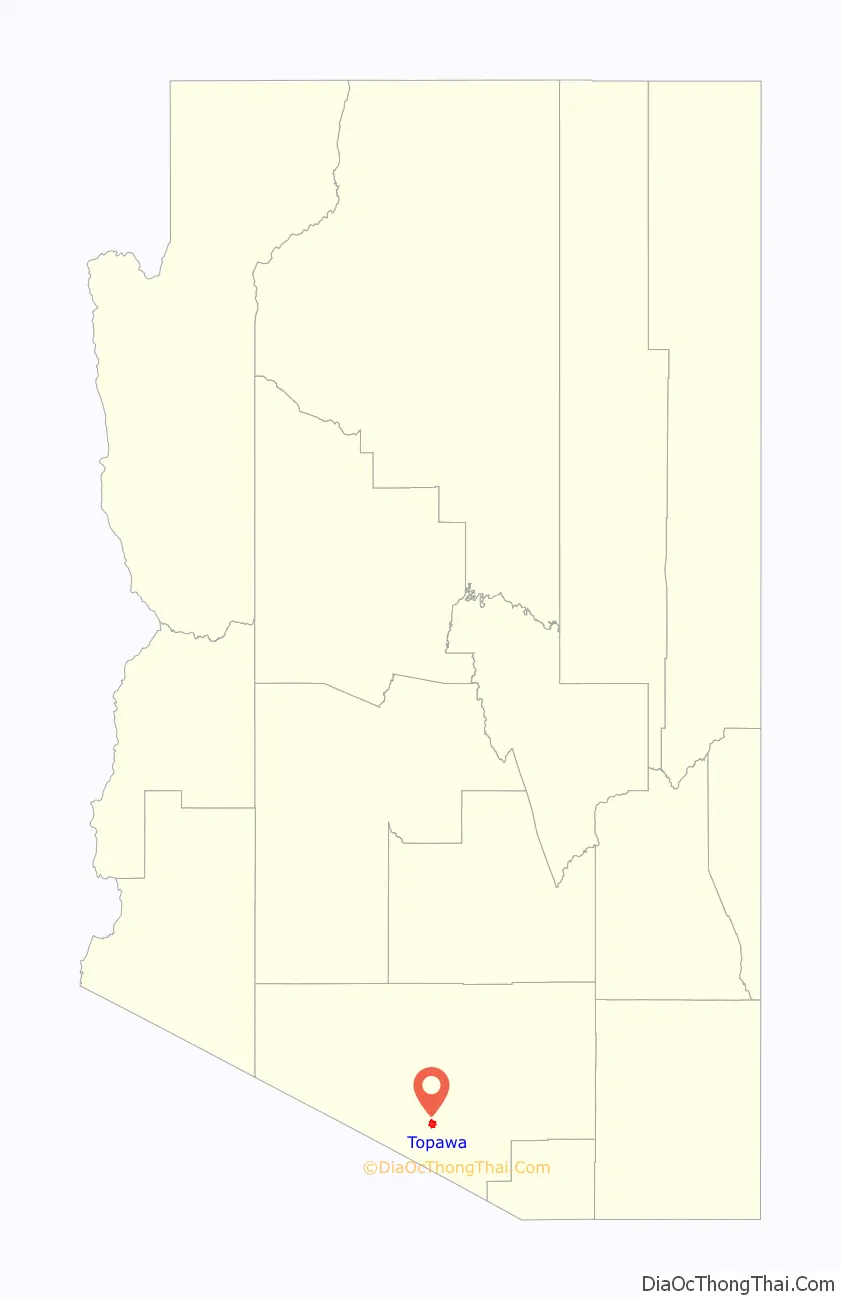
Topawa Road Map
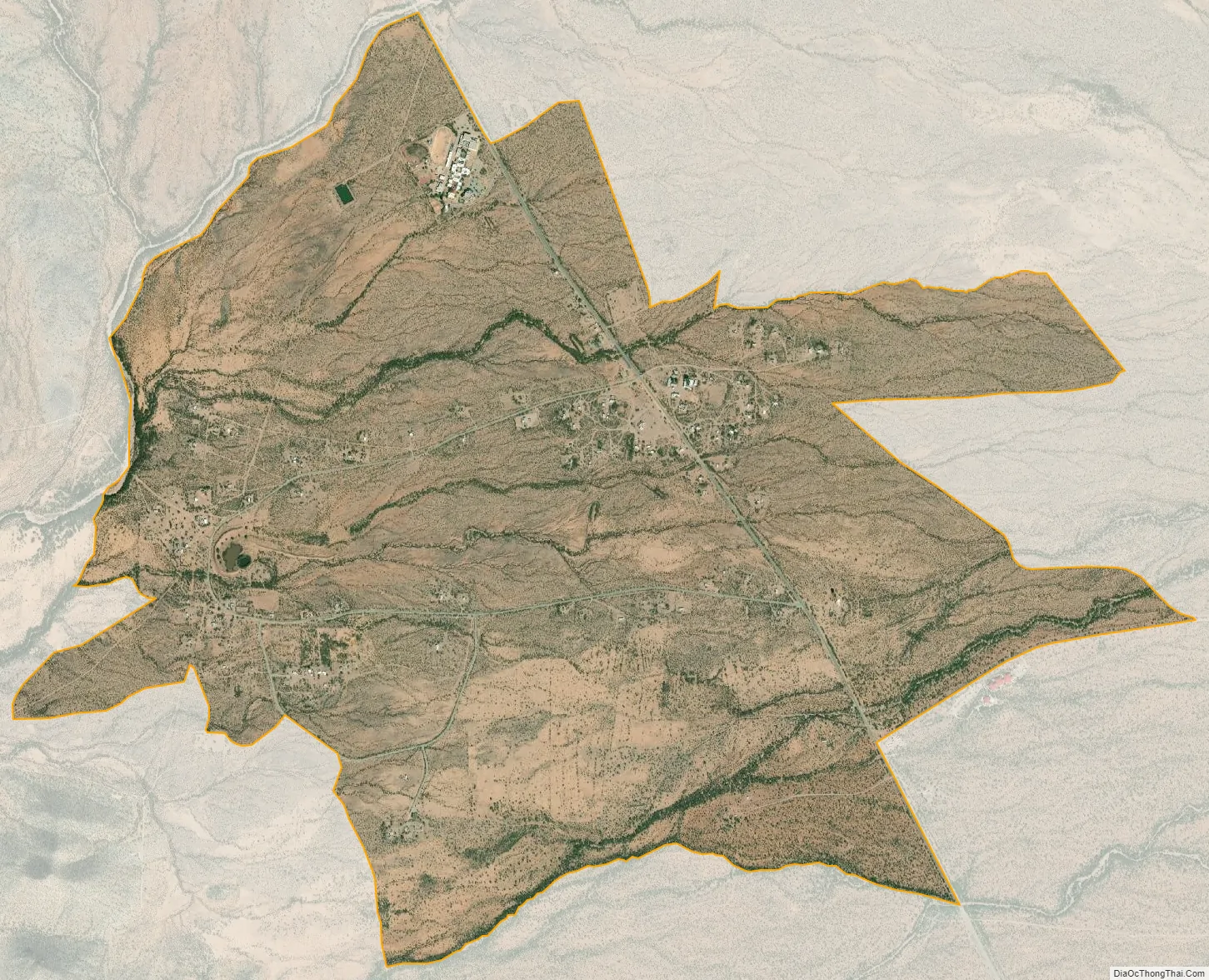
Topawa city Satellite Map
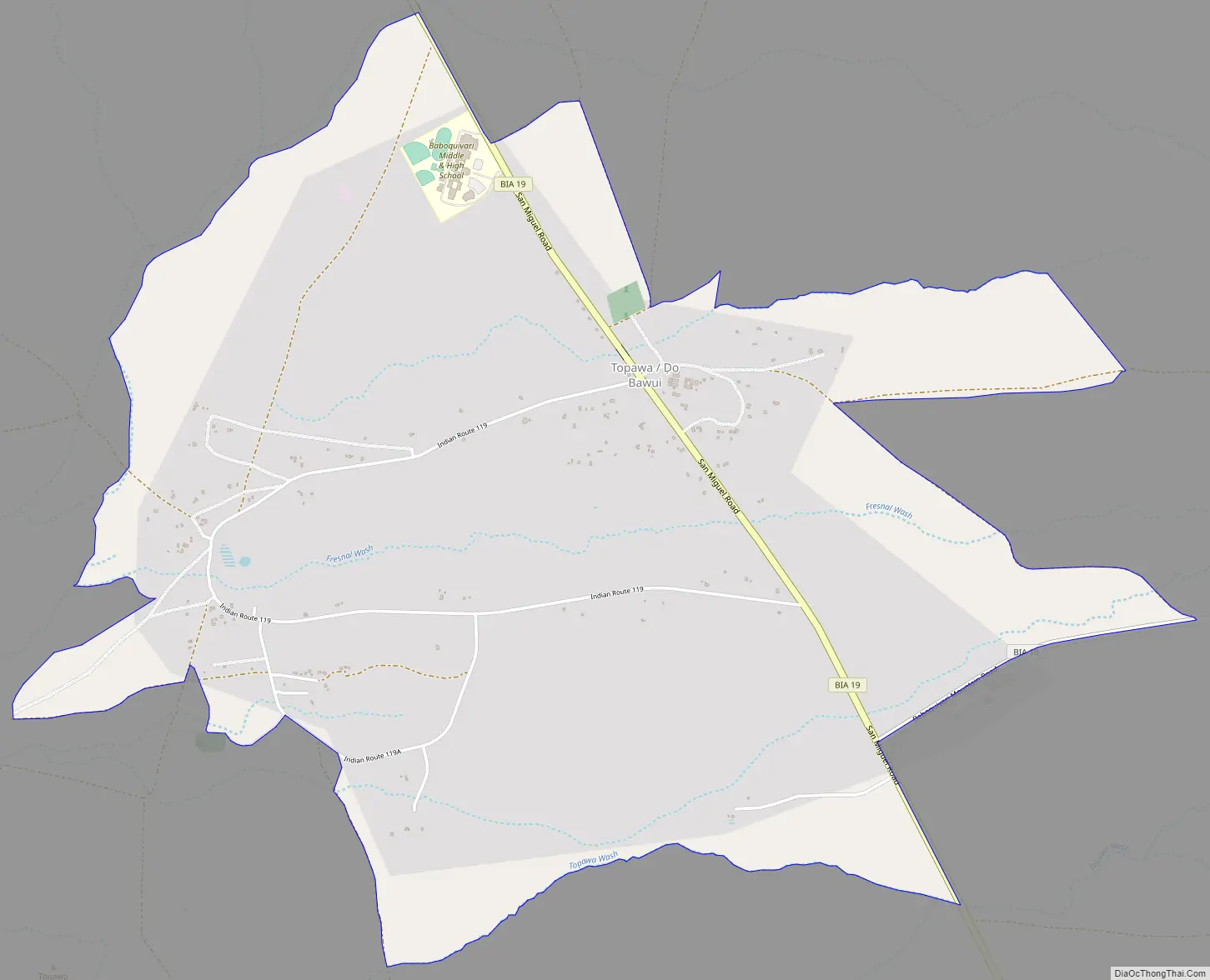
Geography
Baboquivari Unified School District operates Baboquivari Middle & High School just outside Topawa CDP.
Within the community is also located the San Solano Missions, the parish houses Catholic priests who serve the reservation.
Less than two miles from Topawa, the Tohono O’odham Nation also operates their Himdag Ki: Cultural Center and Museum.
See also
Map of Arizona State and its subdivision: Map of other states:- Alabama
- Alaska
- Arizona
- Arkansas
- California
- Colorado
- Connecticut
- Delaware
- District of Columbia
- Florida
- Georgia
- Hawaii
- Idaho
- Illinois
- Indiana
- Iowa
- Kansas
- Kentucky
- Louisiana
- Maine
- Maryland
- Massachusetts
- Michigan
- Minnesota
- Mississippi
- Missouri
- Montana
- Nebraska
- Nevada
- New Hampshire
- New Jersey
- New Mexico
- New York
- North Carolina
- North Dakota
- Ohio
- Oklahoma
- Oregon
- Pennsylvania
- Rhode Island
- South Carolina
- South Dakota
- Tennessee
- Texas
- Utah
- Vermont
- Virginia
- Washington
- West Virginia
- Wisconsin
- Wyoming


