Tucson Estates is a census-designated place (CDP) in Pima County, Arizona, United States. The population was 9,755 at the 2000 census.
| Name: | Tucson Estates CDP |
|---|---|
| LSAD Code: | 57 |
| LSAD Description: | CDP (suffix) |
| State: | Arizona |
| County: | Pima County |
| Elevation: | 2,648 ft (807 m) |
| Total Area: | 12.72 sq mi (32.96 km²) |
| Land Area: | 12.72 sq mi (32.96 km²) |
| Water Area: | 0.00 sq mi (0.00 km²) |
| Total Population: | 12,069 |
| Population Density: | 948.45/sq mi (366.20/km²) |
| FIPS code: | 0477035 |
| GNISfeature ID: | 0025245 |
Online Interactive Map
Click on ![]() to view map in "full screen" mode.
to view map in "full screen" mode.
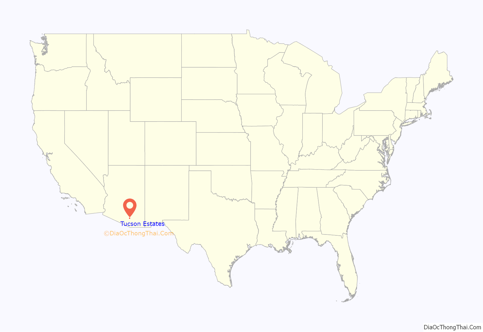
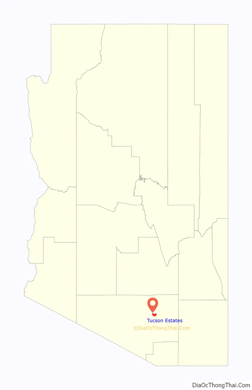
Tucson Estates location map. Where is Tucson Estates CDP?
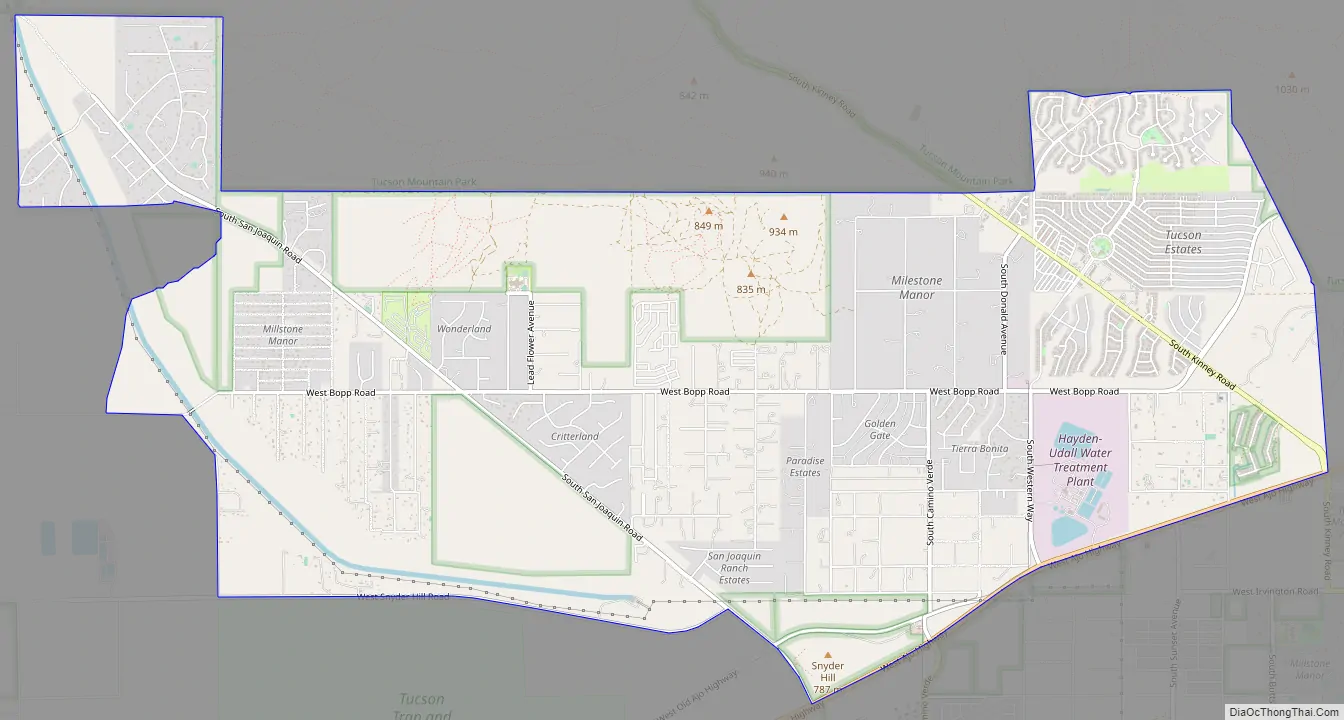
Tucson Estates Road Map
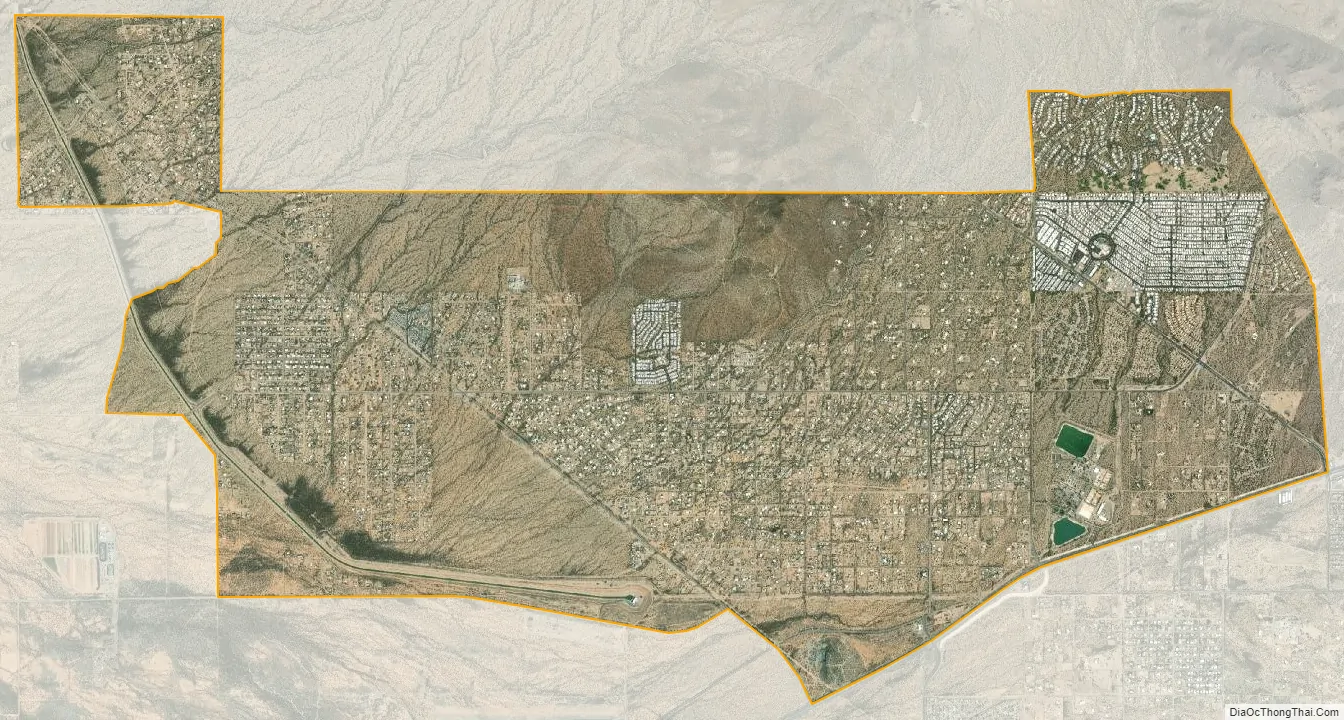
Tucson Estates city Satellite Map
Geography
Tucson Estates is located at 32°10′51″N 111°6′35″W / 32.18083°N 111.10972°W / 32.18083; -111.10972 (32.180867, -111.109661).
According to the United States Census Bureau, the CDP has a total area of 35.1 square miles (90.9 km), all land.
The census area is made up of several housing developments. The primary ones are
- Tucson Estates Property Owners Association
- Tucson Estates II (Sometimes called the Foothills)
- Other, smaller housing communities
See also
Map of Arizona State and its subdivision: Map of other states:- Alabama
- Alaska
- Arizona
- Arkansas
- California
- Colorado
- Connecticut
- Delaware
- District of Columbia
- Florida
- Georgia
- Hawaii
- Idaho
- Illinois
- Indiana
- Iowa
- Kansas
- Kentucky
- Louisiana
- Maine
- Maryland
- Massachusetts
- Michigan
- Minnesota
- Mississippi
- Missouri
- Montana
- Nebraska
- Nevada
- New Hampshire
- New Jersey
- New Mexico
- New York
- North Carolina
- North Dakota
- Ohio
- Oklahoma
- Oregon
- Pennsylvania
- Rhode Island
- South Carolina
- South Dakota
- Tennessee
- Texas
- Utah
- Vermont
- Virginia
- Washington
- West Virginia
- Wisconsin
- Wyoming


