Tumacacori (/ˌtuːməˈkɑːkəri/; O’odham: Cemagĭ Gakolig) is an unincorporated community in Santa Cruz County, Arizona, United States, which abuts the community of Carmen. Together, the communities constitute the Tumacacori-Carmen census-designated place (CDP). The population of the CDP was 393 at the 2010 census.
| Name: | Tumacacori-Carmen CDP |
|---|---|
| LSAD Code: | 57 |
| LSAD Description: | CDP (suffix) |
| State: | Arizona |
| County: | Santa Cruz County |
| Total Area: | 1.91 sq mi (4.96 km²) |
| Land Area: | 1.91 sq mi (4.95 km²) |
| Water Area: | 0.00 sq mi (0.00 km²) |
| Total Population: | 329 |
| Population Density: | 172.07/sq mi (66.44/km²) |
| ZIP code: | 85640 |
| Area code: | 520 |
| FIPS code: | 0477367 |
Online Interactive Map
Click on ![]() to view map in "full screen" mode.
to view map in "full screen" mode.
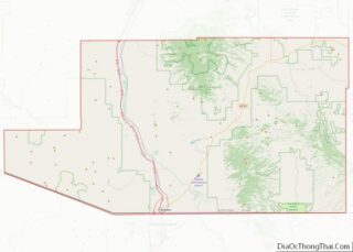
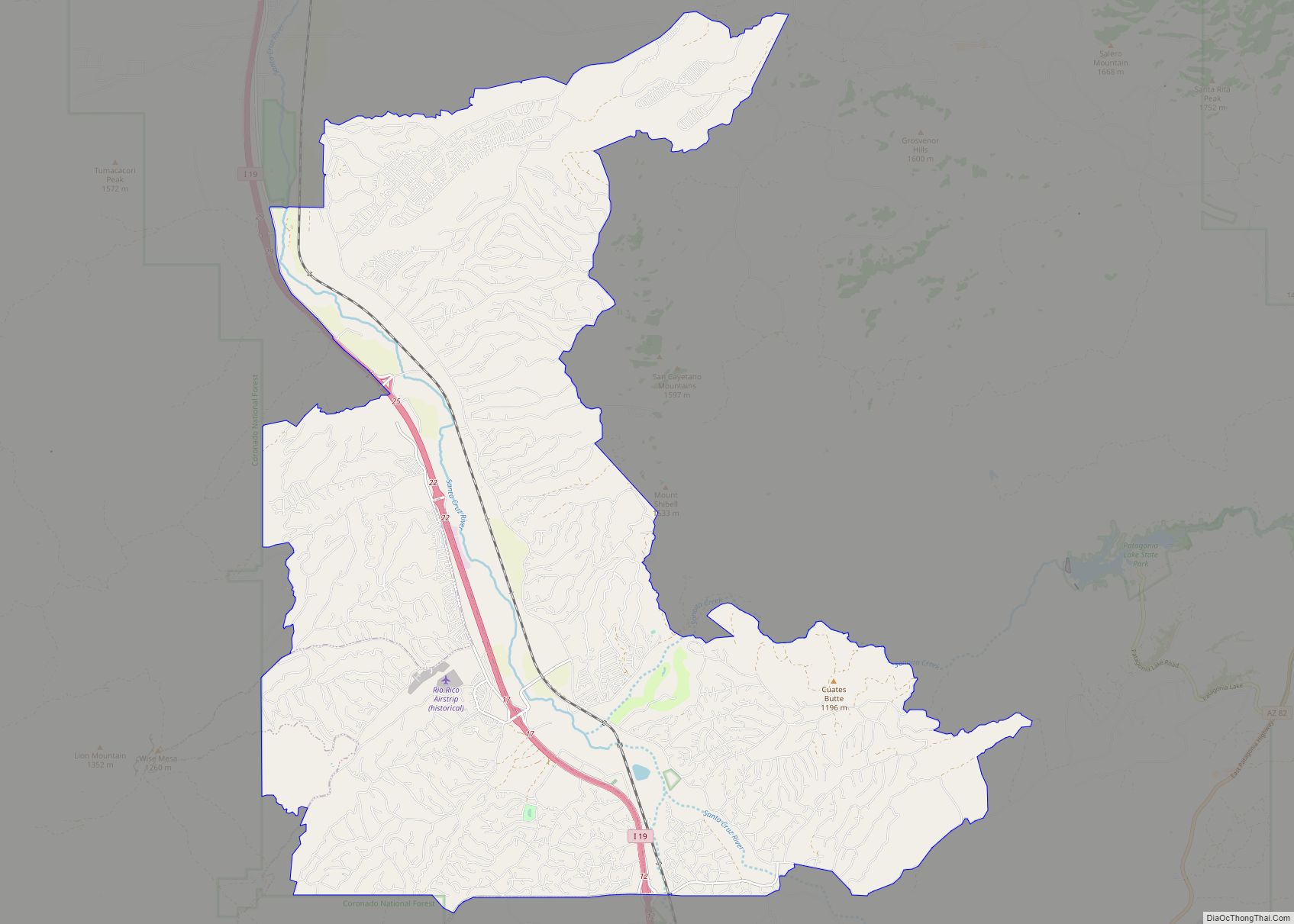
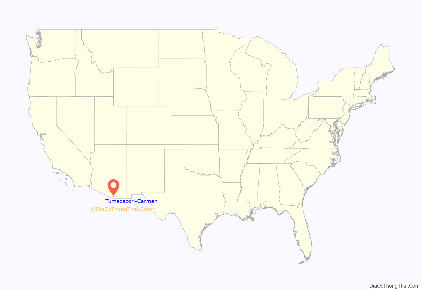
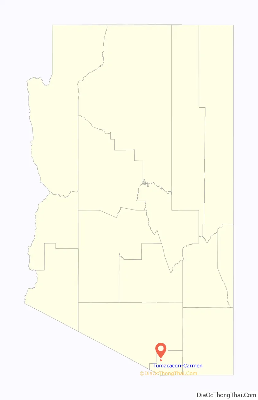
Tumacacori-Carmen location map. Where is Tumacacori-Carmen CDP?
History
Tumacacori is the site of Mission San José de Tumacácori, a Franciscan mission that was built in the late 18th century. It takes its name from an earlier mission site founded by Father Eusebio Kino in 1691, which is on the east side of the Santa Cruz River, south of the national park. This Kino-period mission was founded at an extant native O’odham or Sobaipuri settlement and represents the first mission in southern Arizona, but not the first mission in Arizona. The remains of the native settlement are still extant and have been investigated and reported on by archaeologist Deni Seymour.
The later Franciscan mission, which is now a ruin preserved as Tumacácori National Historical Park, was never rebuilt after being abandoned after repeated Apache raids in the 19th century that killed farmers and ranchers in the area and put a stop to the growth of the area’s economy. Nearby Tubac was besieged in 1861.
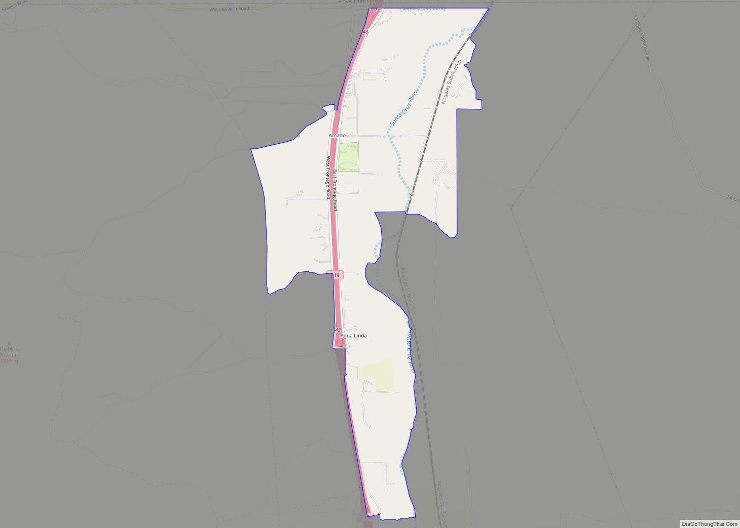
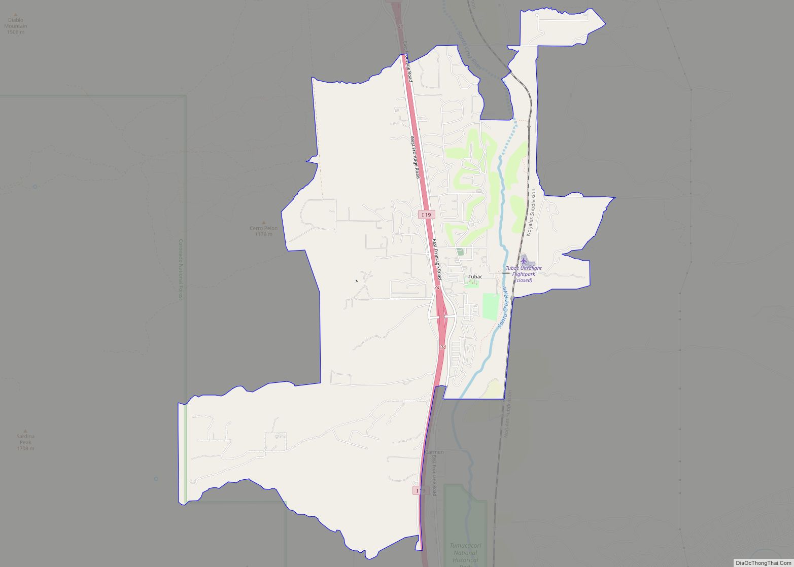
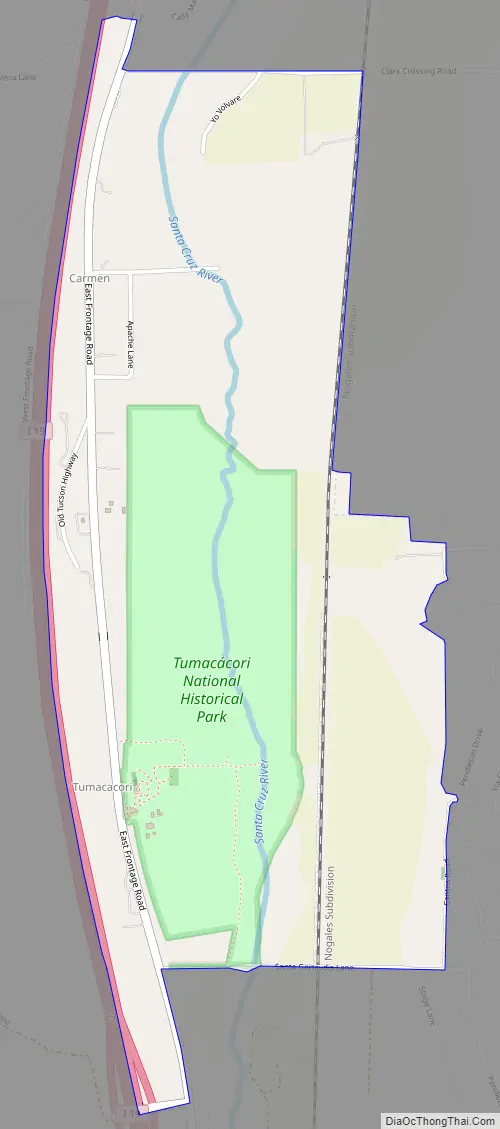
Tumacacori-Carmen Road Map
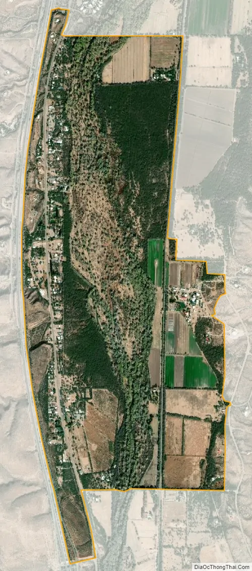
Tumacacori-Carmen city Satellite Map
Geography
Tumacacori is located at 31°33′40″N 111°2′52″W / 31.56111°N 111.04778°W / 31.56111; -111.04778 (31.561157, -111.047810).
According to the United States Census Bureau, the Tumacacori-Carmen CDP has a total area of 2.0 square miles (5.1 km), all land. The locale is in a valley cut by the Santa Cruz River.
Climate
Tumacacori has a semi-arid climate (Köppen: BSk) with cool winters and hot summers.
See also
Map of Arizona State and its subdivision: Map of other states:- Alabama
- Alaska
- Arizona
- Arkansas
- California
- Colorado
- Connecticut
- Delaware
- District of Columbia
- Florida
- Georgia
- Hawaii
- Idaho
- Illinois
- Indiana
- Iowa
- Kansas
- Kentucky
- Louisiana
- Maine
- Maryland
- Massachusetts
- Michigan
- Minnesota
- Mississippi
- Missouri
- Montana
- Nebraska
- Nevada
- New Hampshire
- New Jersey
- New Mexico
- New York
- North Carolina
- North Dakota
- Ohio
- Oklahoma
- Oregon
- Pennsylvania
- Rhode Island
- South Carolina
- South Dakota
- Tennessee
- Texas
- Utah
- Vermont
- Virginia
- Washington
- West Virginia
- Wisconsin
- Wyoming