Wahak Hotrontk also known as San Simon (O’odham) name translates as “Road Dips”, is a census-designated place in Pima County, in the U.S. state of Arizona. The population was 120 as of the 2020 census. It is located along Arizona State Route 86 on the Tohono O’odham Nation reservation.
| Name: | Wahak Hotrontk CDP |
|---|---|
| LSAD Code: | 57 |
| LSAD Description: | CDP (suffix) |
| State: | Arizona |
| County: | Pima County |
| Elevation: | 1,939 ft (591 m) |
| Total Area: | 1.54 sq mi (3.99 km²) |
| Land Area: | 1.54 sq mi (3.99 km²) |
| Water Area: | 0.00 sq mi (0.00 km²) |
| Total Population: | 88 |
| Population Density: | 57.11/sq mi (22.05/km²) |
| ZIP code: | 85634 |
| Area code: | 520 |
| FIPS code: | 0480430 |
| GNISfeature ID: | 13276 |
Online Interactive Map
Click on ![]() to view map in "full screen" mode.
to view map in "full screen" mode.
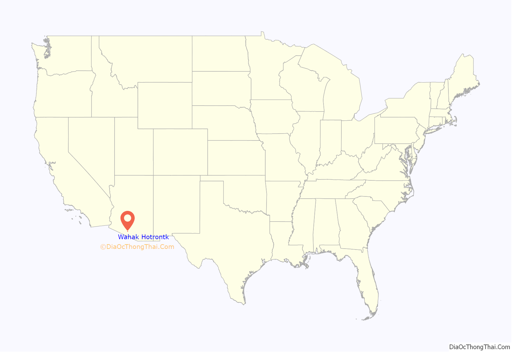
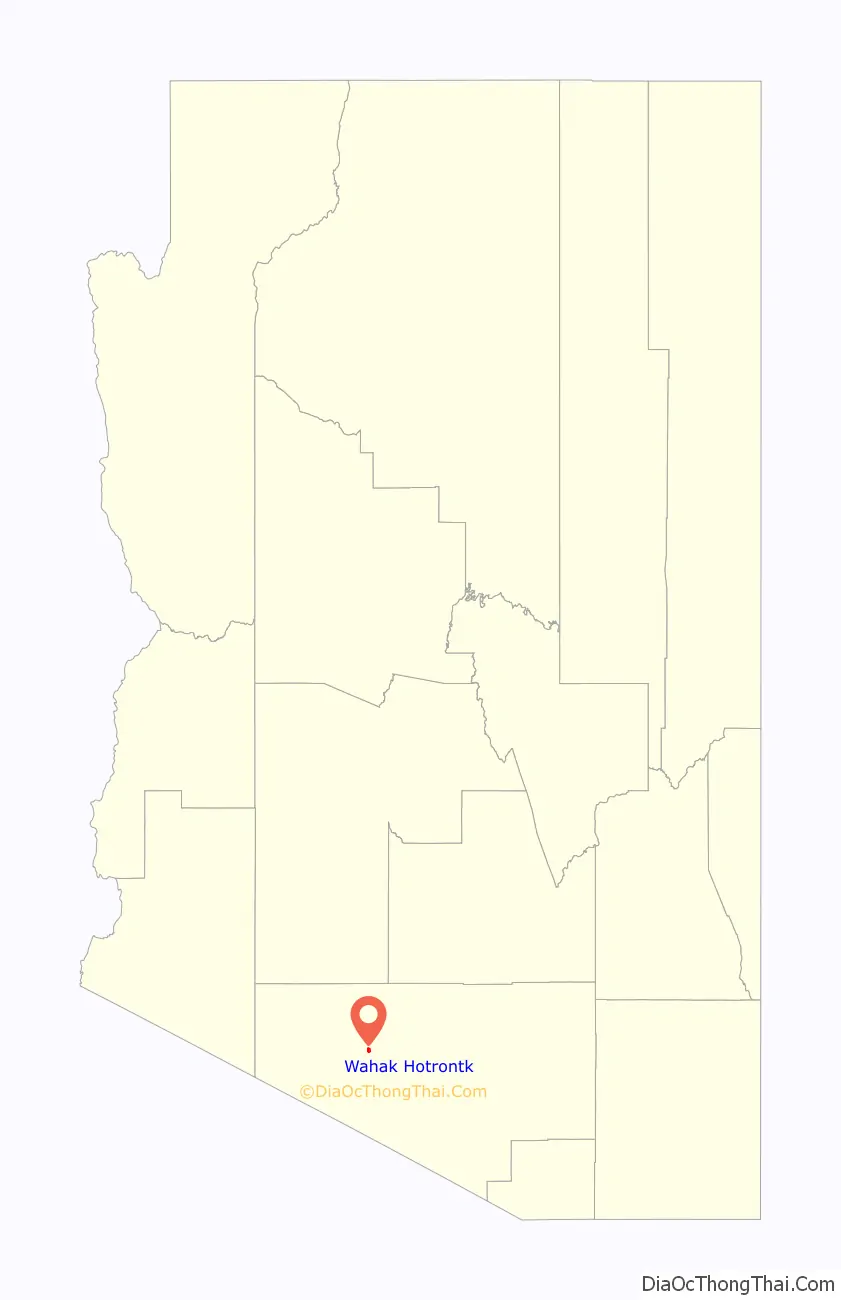
Wahak Hotrontk location map. Where is Wahak Hotrontk CDP?
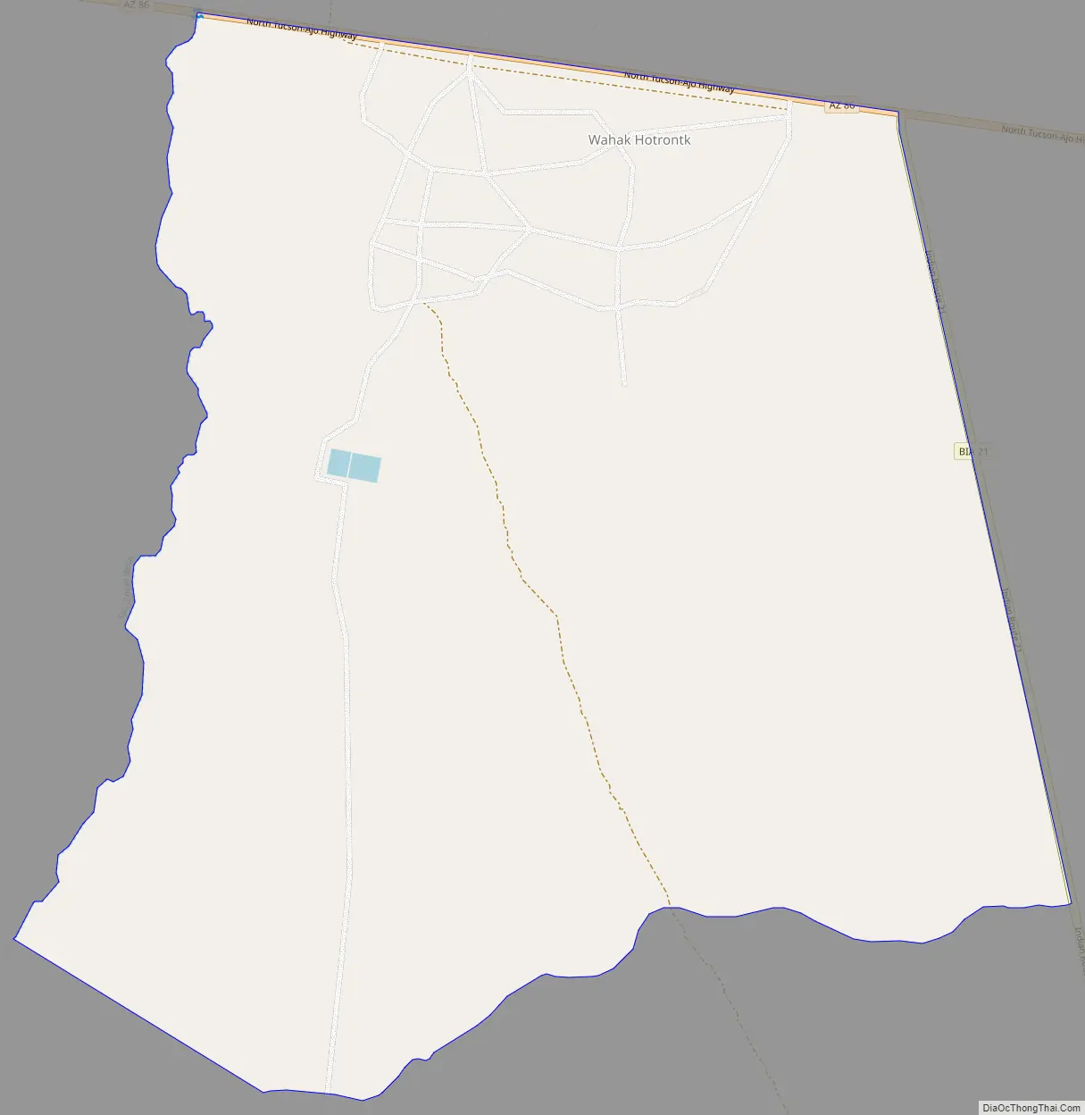
Wahak Hotrontk Road Map
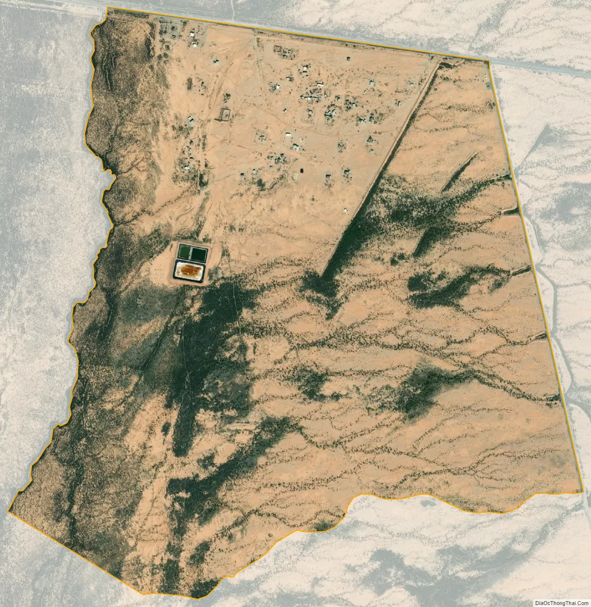
Wahak Hotrontk city Satellite Map
Geography
According to the U.S. Census Bureau, the community has an area of 1.541 square miles (3.99 km), all land.
Located on the west end of the traditional historical village is the San Simon Health Clinic and Tohono O’odham High School. Recently, the fifth convenience store and gas station located on the reservation also opened west of the community.
See also
Map of Arizona State and its subdivision: Map of other states:- Alabama
- Alaska
- Arizona
- Arkansas
- California
- Colorado
- Connecticut
- Delaware
- District of Columbia
- Florida
- Georgia
- Hawaii
- Idaho
- Illinois
- Indiana
- Iowa
- Kansas
- Kentucky
- Louisiana
- Maine
- Maryland
- Massachusetts
- Michigan
- Minnesota
- Mississippi
- Missouri
- Montana
- Nebraska
- Nevada
- New Hampshire
- New Jersey
- New Mexico
- New York
- North Carolina
- North Dakota
- Ohio
- Oklahoma
- Oregon
- Pennsylvania
- Rhode Island
- South Carolina
- South Dakota
- Tennessee
- Texas
- Utah
- Vermont
- Virginia
- Washington
- West Virginia
- Wisconsin
- Wyoming


