Wheatfields is a census-designated place (CDP) in Gila County, Arizona, United States. The population was 785 at the 2010 United States Census. It is one of two places in Arizona with this name, the other being a populated place in Apache County.
| Name: | Wheatfields CDP |
|---|---|
| LSAD Code: | 57 |
| LSAD Description: | CDP (suffix) |
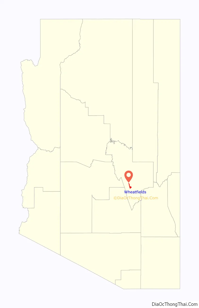
| State: | Arizona |
| County: | Gila County |
| Elevation: | 3,121 ft (951 m) |
| Total Area: | 8.06 sq mi (20.88 km²) |
| Land Area: | 8.06 sq mi (20.88 km²) |
| Water Area: | 0.00 sq mi (0.00 km²) |
| Total Population: | 556 |
| Population Density: | 68.96/sq mi (26.62/km²) |
| Area code: | 928 |
| FIPS code: | 0482120 |
| GNISfeature ID: | 2582899 |
Online Interactive Map
Click on ![]() to view map in "full screen" mode.
to view map in "full screen" mode.
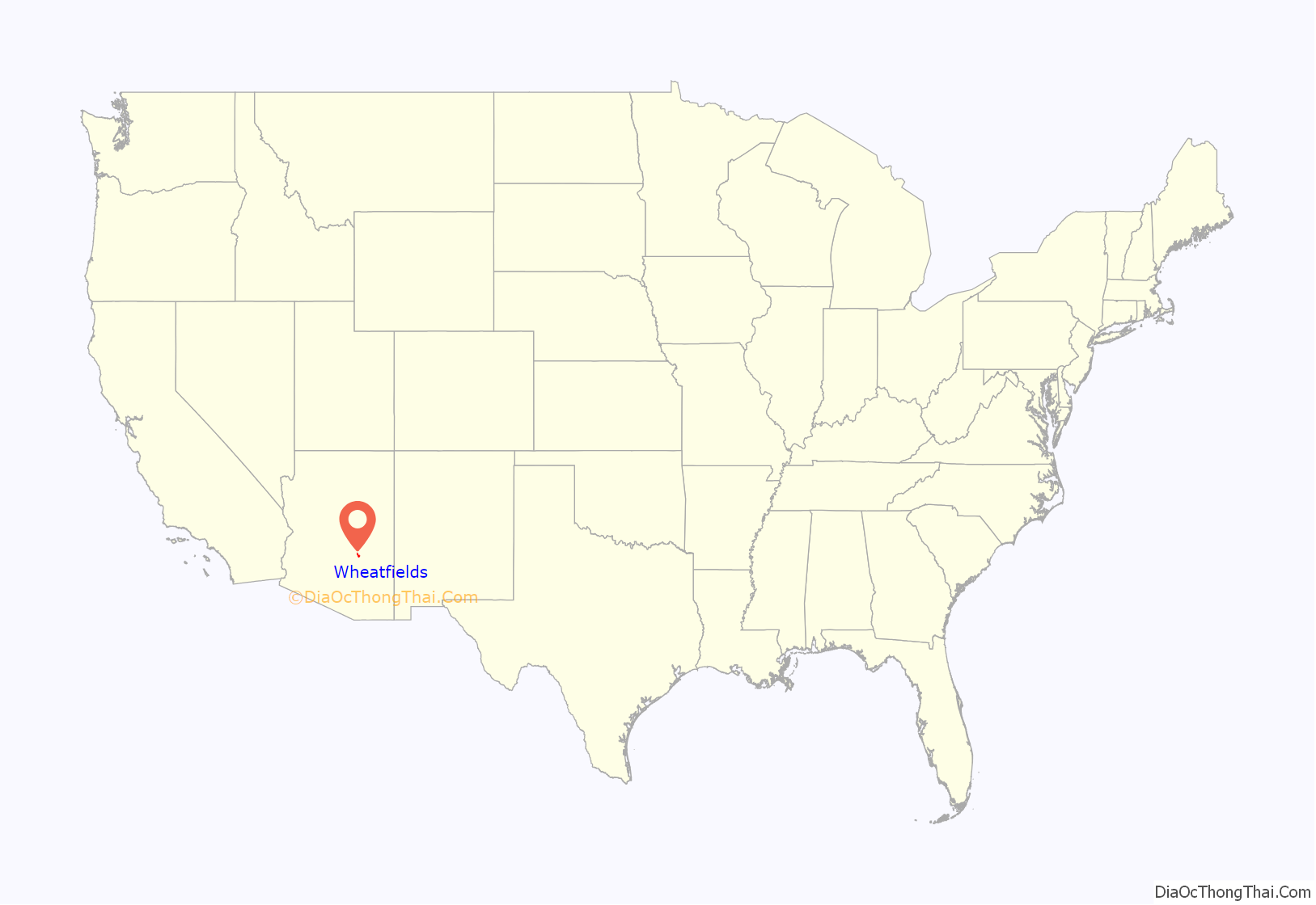
Wheatfields location map. Where is Wheatfields CDP?
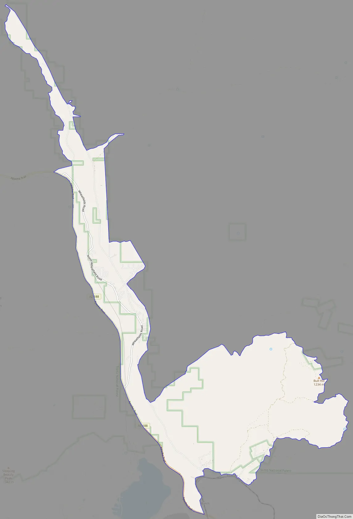
Wheatfields Road Map
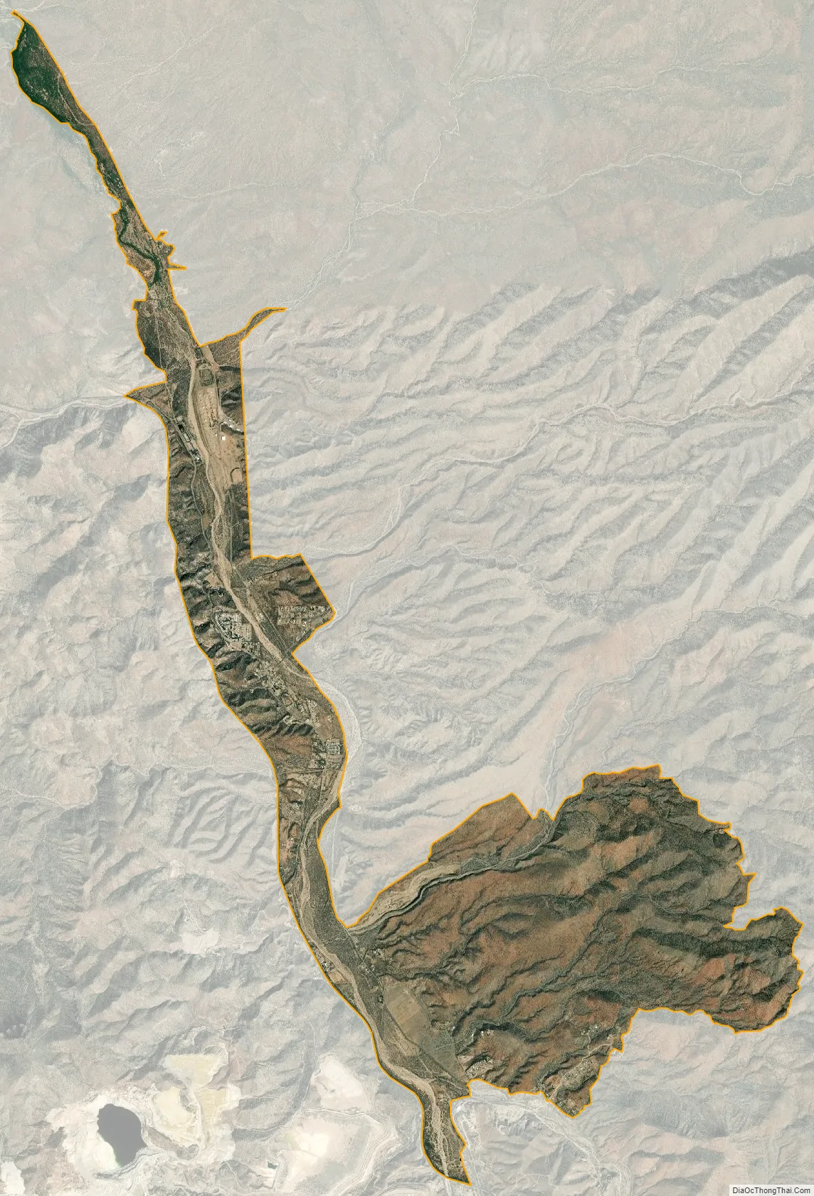
Wheatfields city Satellite Map
Geography
Wheatfields is located in southern Gila County in the valley of Pinal Creek. Arizona State Route 188 forms the western edge of the CDP, leading northwest 22 miles (35 km) to Theodore Roosevelt Lake and south 10 miles (16 km) to Globe, the county seat.
According to the United States Census Bureau, the Wheatfields CDP has a total area of 8.1 square miles (20.9 km), all land.
See also
Map of Arizona State and its subdivision: Map of other states:- Alabama
- Alaska
- Arizona
- Arkansas
- California
- Colorado
- Connecticut
- Delaware
- District of Columbia
- Florida
- Georgia
- Hawaii
- Idaho
- Illinois
- Indiana
- Iowa
- Kansas
- Kentucky
- Louisiana
- Maine
- Maryland
- Massachusetts
- Michigan
- Minnesota
- Mississippi
- Missouri
- Montana
- Nebraska
- Nevada
- New Hampshire
- New Jersey
- New Mexico
- New York
- North Carolina
- North Dakota
- Ohio
- Oklahoma
- Oregon
- Pennsylvania
- Rhode Island
- South Carolina
- South Dakota
- Tennessee
- Texas
- Utah
- Vermont
- Virginia
- Washington
- West Virginia
- Wisconsin
- Wyoming


