Whispering Pines is a census-designated place (CDP) in Gila County, Arizona, United States. It is one of two locations in Arizona with this name, the other being a populated place in Greenlee County. The population was 148 at the 2010 United States Census.
| Name: | Whispering Pines CDP |
|---|---|
| LSAD Code: | 57 |
| LSAD Description: | CDP (suffix) |
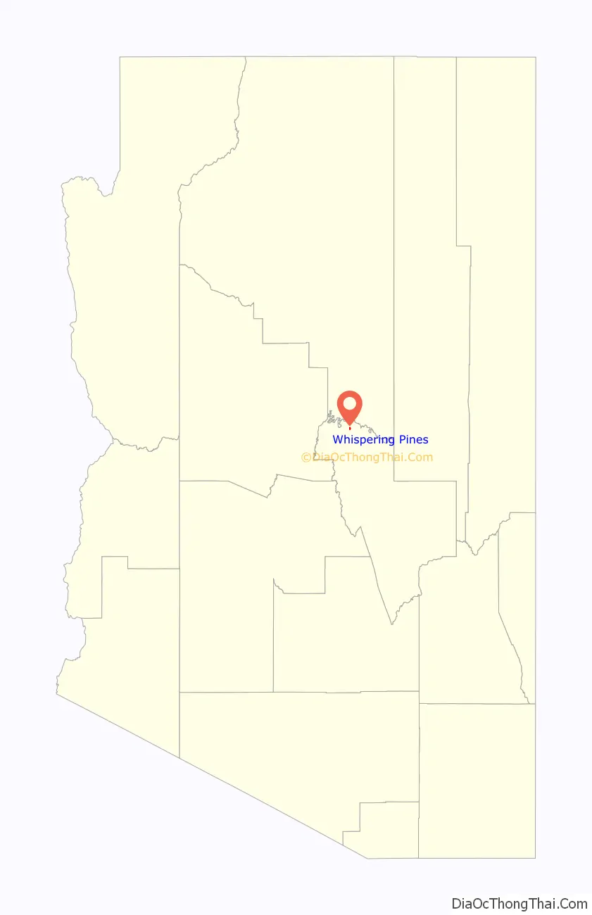
| State: | Arizona |
| County: | Gila County |
| Elevation: | 5,200 ft (1,600 m) |
| Total Area: | 0.43 sq mi (1.11 km²) |
| Land Area: | 0.43 sq mi (1.11 km²) |
| Water Area: | 0.00 sq mi (0.00 km²) |
| Total Population: | 124 |
| Population Density: | 289.04/sq mi (111.54/km²) |
| ZIP code: | 85541 |
| Area code: | 928 |
| FIPS code: | 0482270 |
| GNISfeature ID: | 2582900 |
Online Interactive Map
Click on ![]() to view map in "full screen" mode.
to view map in "full screen" mode.
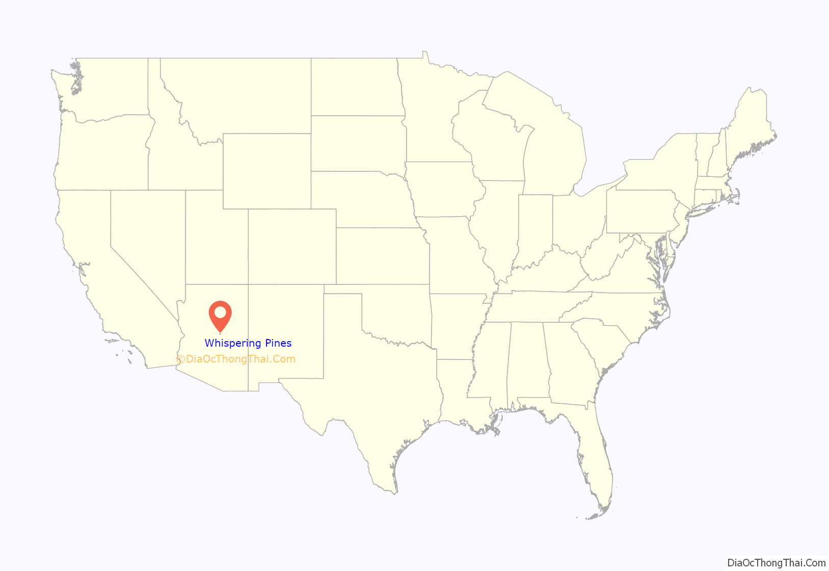
Whispering Pines location map. Where is Whispering Pines CDP?
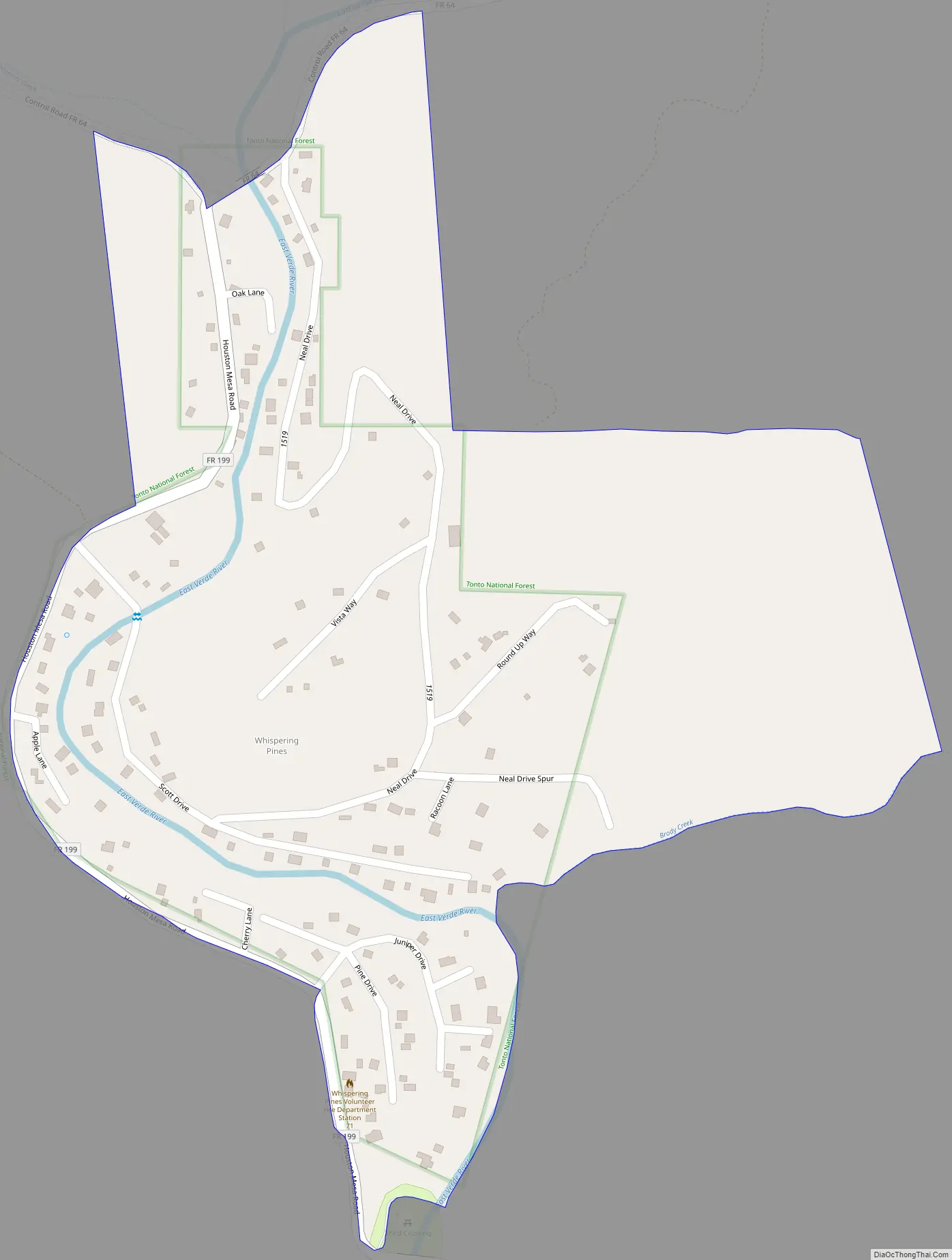
Whispering Pines Road Map
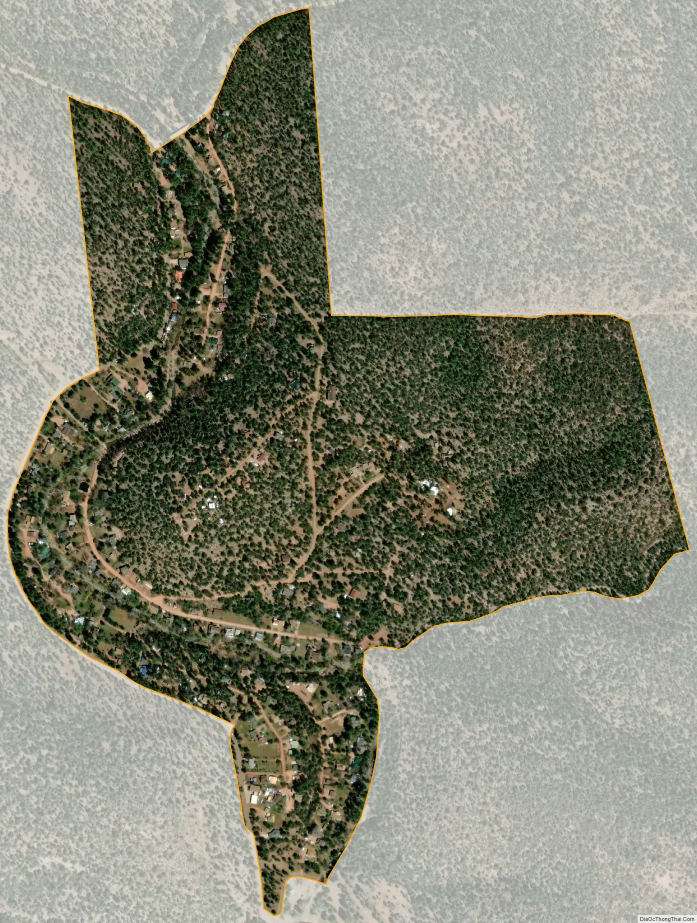
Whispering Pines city Satellite Map
Geography
Whispering Pines is located in northern Gila County in the upper valley of the East Verde River, between Washington Park to the north and Beaver Valley to the south. It is 12 miles (19 km) north of Payson.
According to the United States Census Bureau, the Whispering Pines CDP has a total area of 0.43 square miles (1.11 km), all land.
See also
Map of Arizona State and its subdivision: Map of other states:- Alabama
- Alaska
- Arizona
- Arkansas
- California
- Colorado
- Connecticut
- Delaware
- District of Columbia
- Florida
- Georgia
- Hawaii
- Idaho
- Illinois
- Indiana
- Iowa
- Kansas
- Kentucky
- Louisiana
- Maine
- Maryland
- Massachusetts
- Michigan
- Minnesota
- Mississippi
- Missouri
- Montana
- Nebraska
- Nevada
- New Hampshire
- New Jersey
- New Mexico
- New York
- North Carolina
- North Dakota
- Ohio
- Oklahoma
- Oregon
- Pennsylvania
- Rhode Island
- South Carolina
- South Dakota
- Tennessee
- Texas
- Utah
- Vermont
- Virginia
- Washington
- West Virginia
- Wisconsin
- Wyoming


