Foxborough is a town in Norfolk County, Massachusetts, United States, about 22 miles (35 km) southwest of Boston, 18 miles (29 km) northeast of Providence, Rhode Island and about 40 miles (64 km) northwest of Cape Cod. The population was 18,618 at the 2020 census.
“Foxborough” is the official spelling of the town name per local government, but the abbreviated spelling “Foxboro” is common and is used by the United States Postal Service.
Foxborough is best known as the site of Gillette Stadium, home of the New England Patriots of the National Football League (NFL) and the New England Revolution of Major League Soccer (MLS).
| Name: | Foxborough CDP |
|---|---|
| LSAD Code: | 57 |
| LSAD Description: | CDP (suffix) |
| State: | Massachusetts |
| County: | Norfolk County |
| Incorporated: | June 10, 1778 |
| Elevation: | 285 ft (87 m) |
| Total Area: | 2.92 sq mi (7.57 km²) |
| Land Area: | 2.88 sq mi (7.45 km²) |
| Water Area: | 0.04 sq mi (0.11 km²) |
| Total Population: | 18,618 |
| Population Density: | 2,163.66/sq mi (835.36/km²) |
| ZIP code: | 02035 |
| Area code: | 508/774 |
| FIPS code: | 2524855 |
| GNISfeature ID: | 0618320 |
| Website: | www.foxboroughma.gov |
Online Interactive Map
Click on ![]() to view map in "full screen" mode.
to view map in "full screen" mode.
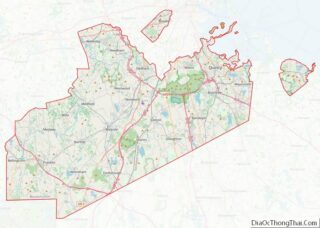
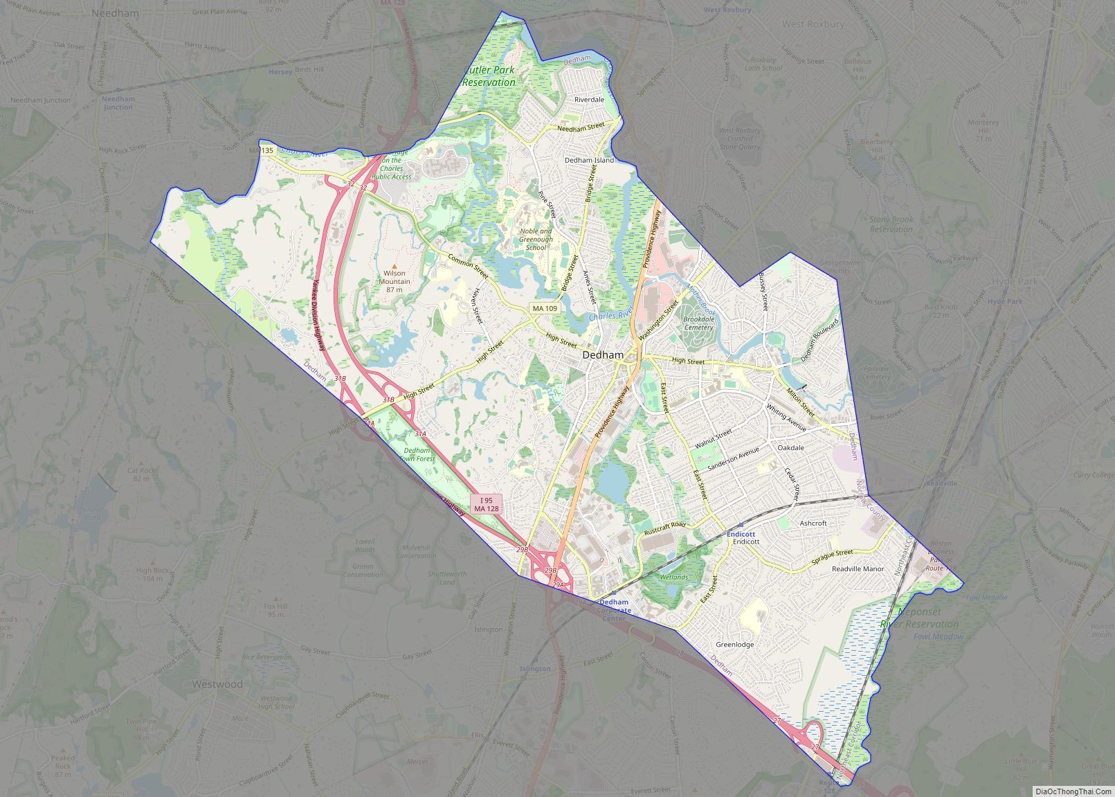
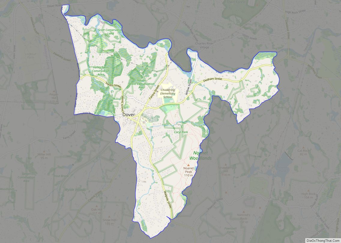
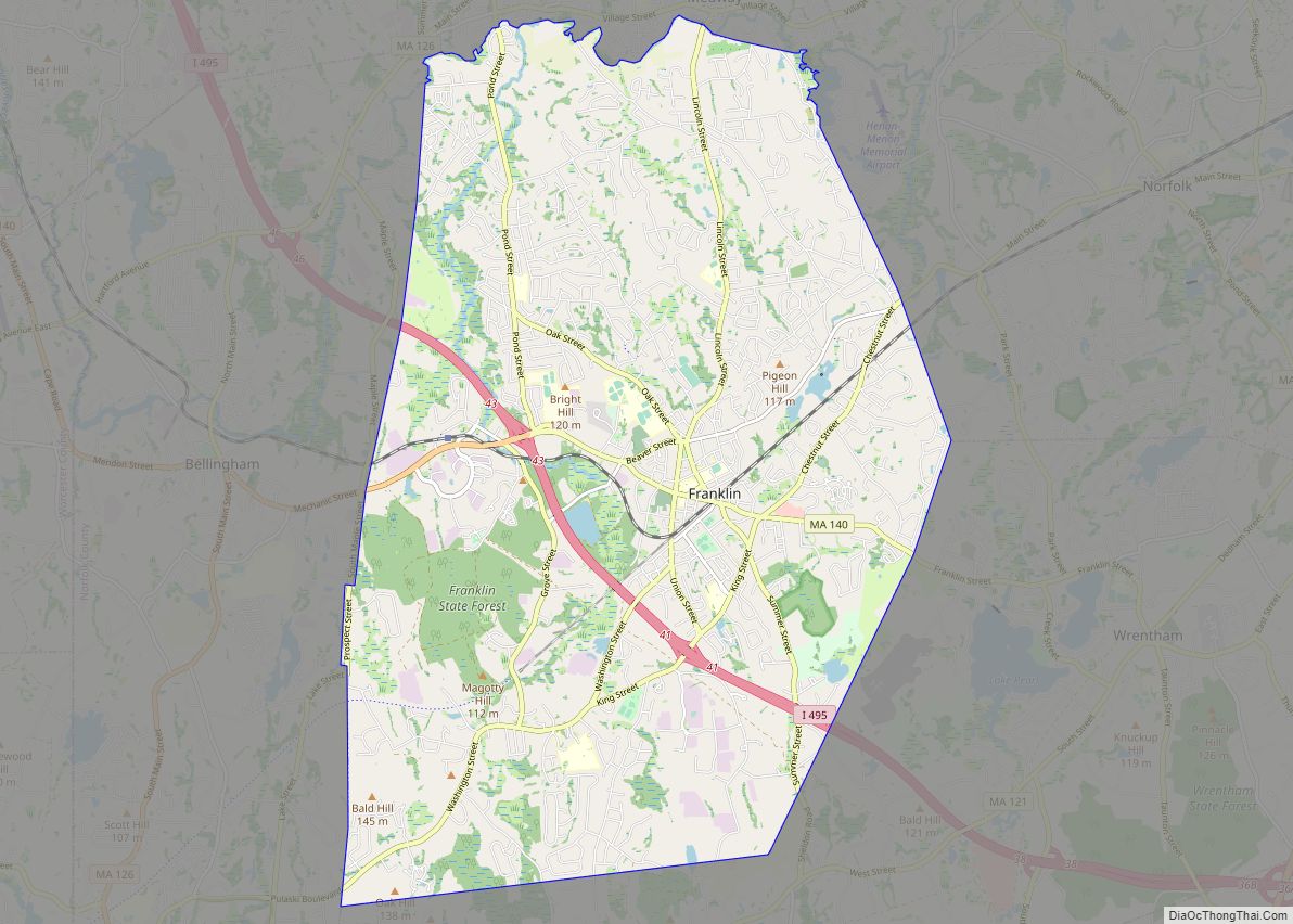
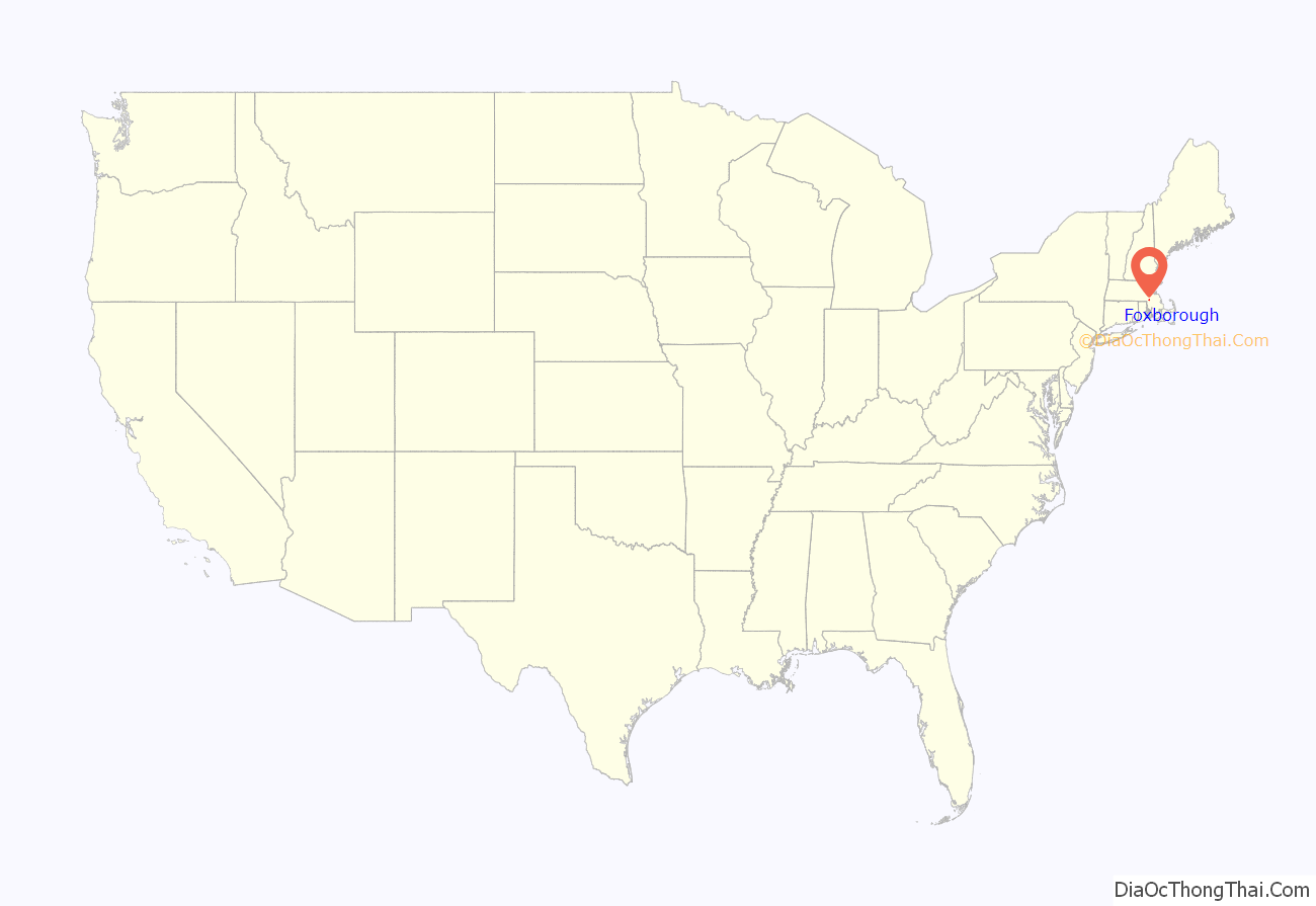
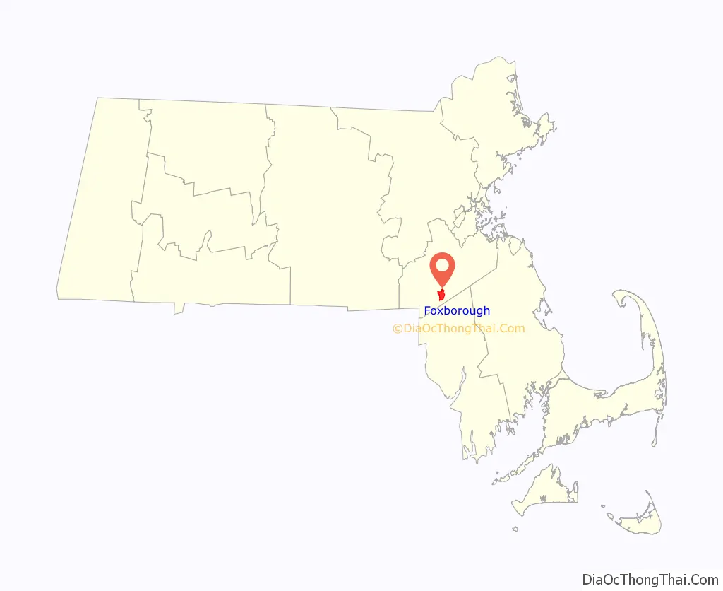
Foxborough location map. Where is Foxborough CDP?
History
Settled in 1704 and incorporated in 1778, the town of Foxborough was named for Charles James Fox, a Whig member of Parliament and a staunch supporter of the Colonies in the years leading up to the American Revolution.
The town was once home to the world’s largest straw hat factory. Founded by local businessman E.P. Carpenter, the Union Straw Works burned to the ground in the early 20th century. The town post office now stands on the site.
Foxborough was composed of small neighborhood communities until the early 1900s. These included Foxvale/Paineburgh, which remained semi-independent until the early twentieth century; Quaker Hill in South Foxborough; and Lakeview/Donkeyville in West Foxborough.
Schaefer Stadium (later known as Sullivan Stadium, then Foxboro Stadium) opened in 1971 as the home of the New England Patriots, after the football team spent its first eleven seasons playing at various stadiums in Boston. The family of Billy Sullivan owned both the Patriots and the stadium until they sold the team in 1988. The stadium, however, lapsed into bankruptcy and was then bought by paper magnate Robert Kraft. With Kraft in control of Foxboro Stadium, he prevented the Patriots from relocating to St. Louis in 1994 by refusing to let the team break their lease, then bought the Patriots outright. Kraft then founded the New England Revolution, one of the charter clubs of Major League Soccer, in 1996.
Gillette Stadium opened in 2002 as a replacement for Foxboro Stadium. The Patriot Place shopping plaza, built on land surrounding the stadium bought by Kraft, completed construction in 2009. The plaza includes a variety of restaurants, clothing stores, and other retailers.
Foxborough hosted multiple matches during the 1994 FIFA World Cup at Foxborough Stadium and will do so again during the 2026 FIFA World Cup at Gillette Stadium.
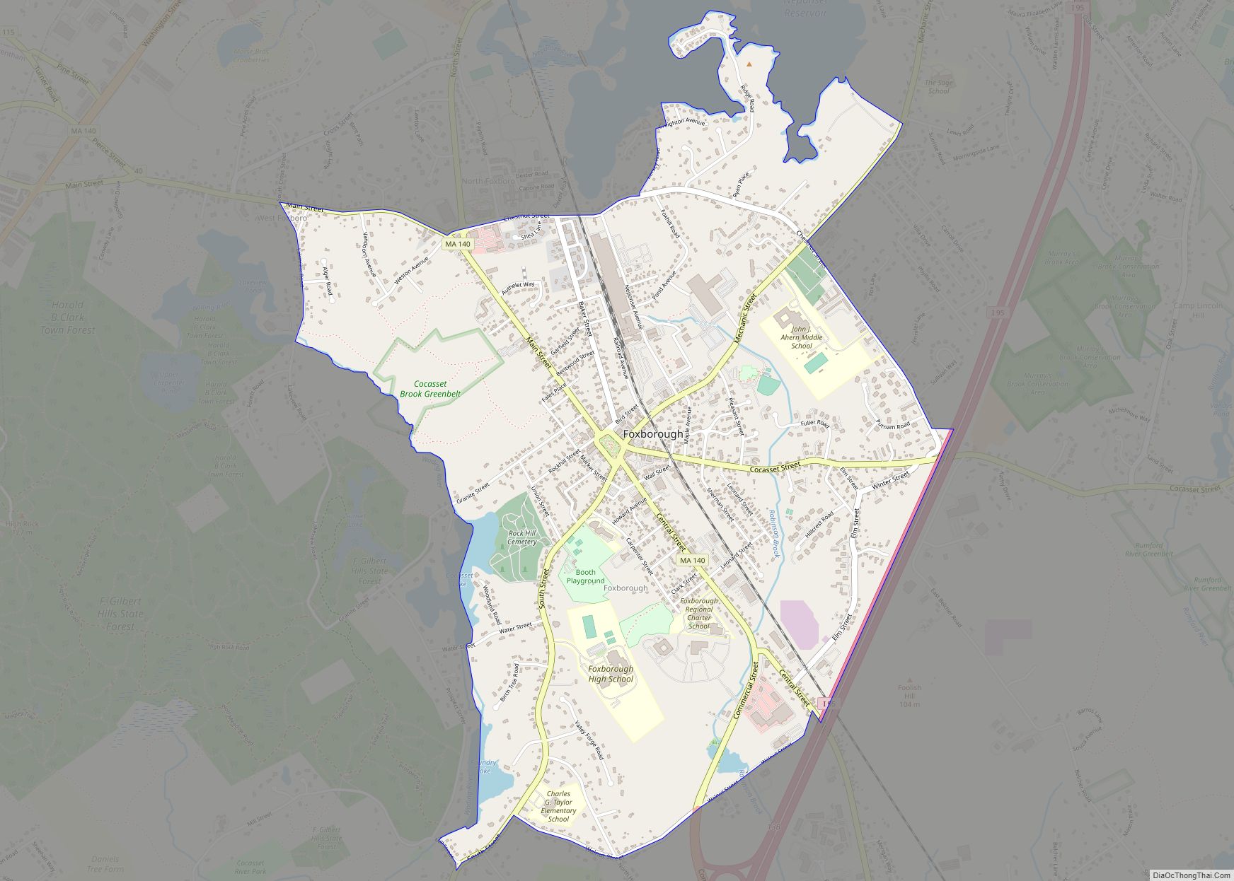
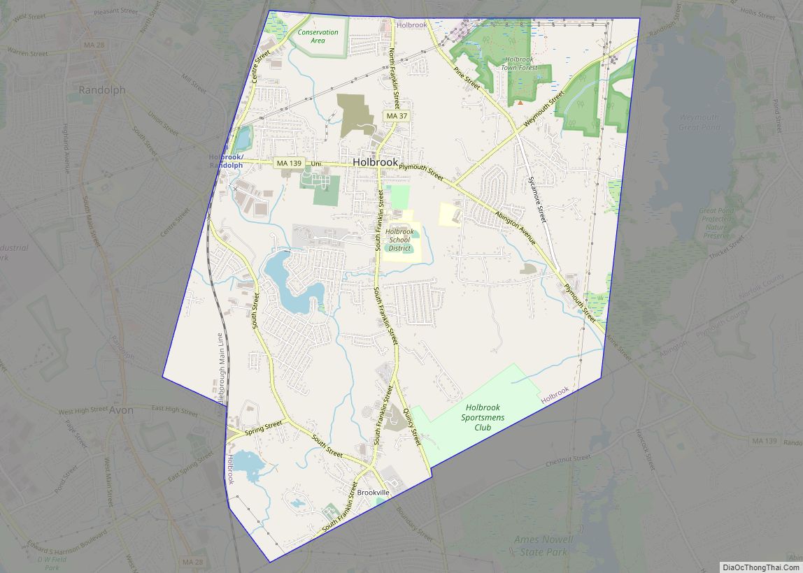
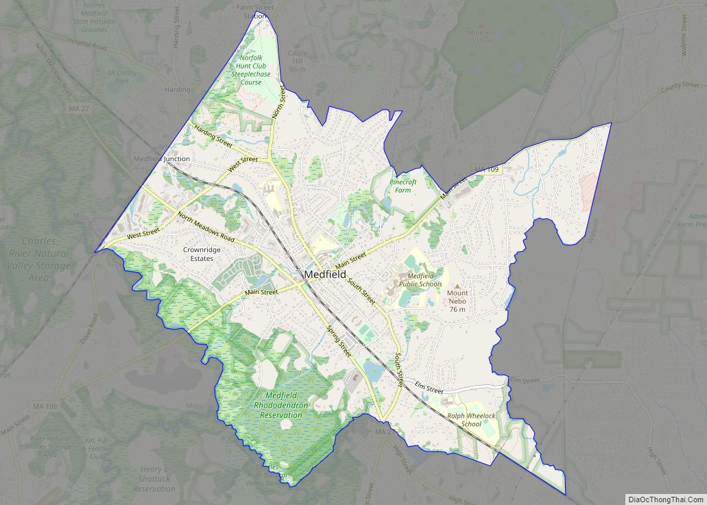
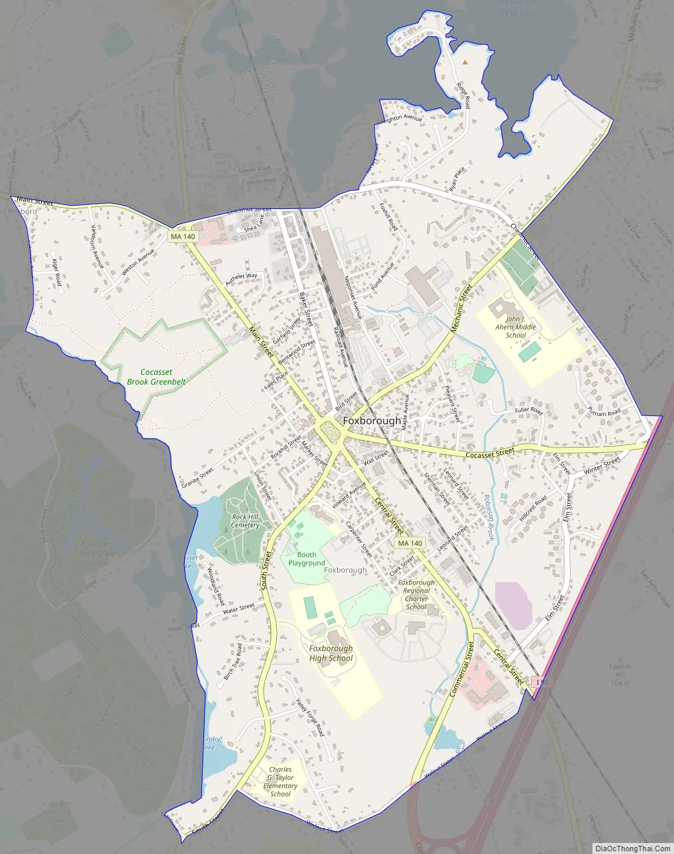
Foxborough Road Map
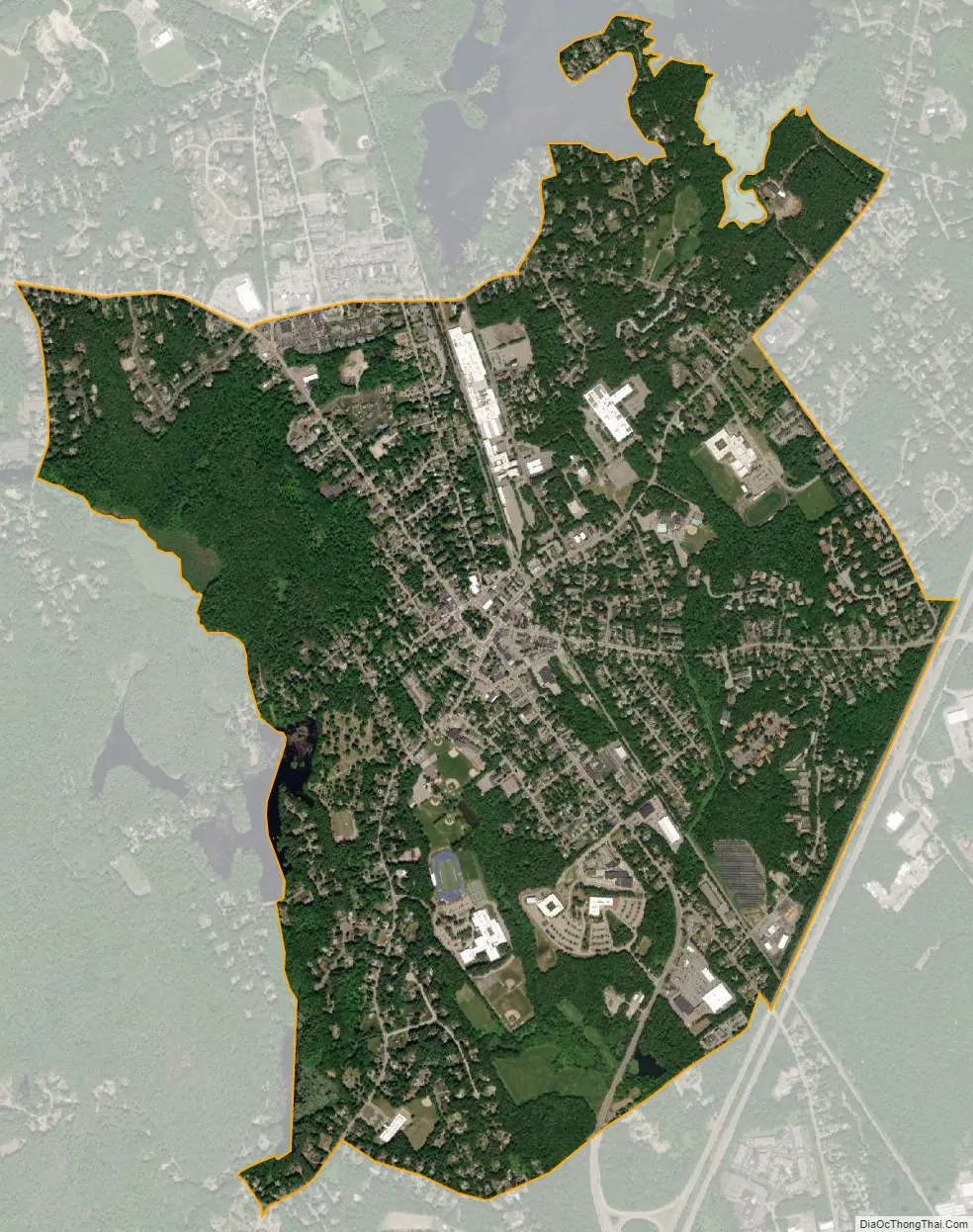
Foxborough city Satellite Map
Geography
According to the United States Census Bureau, the town has a total area of 20.9 sq mi (54.1 km), of which 20.1 sq mi (52.0 km) is land and 0.81 sq mi (2.1 km) (3.88%) is water.
Foxborough is located at 42°3′54″N 71°14′52″W / 42.06500°N 71.24778°W / 42.06500; -71.24778 (42.065248, –71.247856).
For the purposes of the United States Census Bureau, the built-up central area of Foxborough known as the Foxborough Census Designated Place (CDP) has a total area of 7.6 km (3.0 mi). 7.5 km (2.9 mi) is land and 0.1 km (0.1 mi) (1.69%) is water.
See also
Map of Massachusetts State and its subdivision: Map of other states:- Alabama
- Alaska
- Arizona
- Arkansas
- California
- Colorado
- Connecticut
- Delaware
- District of Columbia
- Florida
- Georgia
- Hawaii
- Idaho
- Illinois
- Indiana
- Iowa
- Kansas
- Kentucky
- Louisiana
- Maine
- Maryland
- Massachusetts
- Michigan
- Minnesota
- Mississippi
- Missouri
- Montana
- Nebraska
- Nevada
- New Hampshire
- New Jersey
- New Mexico
- New York
- North Carolina
- North Dakota
- Ohio
- Oklahoma
- Oregon
- Pennsylvania
- Rhode Island
- South Carolina
- South Dakota
- Tennessee
- Texas
- Utah
- Vermont
- Virginia
- Washington
- West Virginia
- Wisconsin
- Wyoming