Millis-Clicquot is a census-designated place (CDP) in the town of Millis in Norfolk County, Massachusetts, United States. The population was 4,403 at the 2010 census. The name “Clicquot” comes from the now-defunct Clicquot Club Company, a beverage manufacturer that was founded in the area in 1881.
| Name: | Millis-Clicquot CDP |
|---|---|
| LSAD Code: | 57 |
| LSAD Description: | CDP (suffix) |
| State: | Massachusetts |
| County: | Norfolk County |
| Total Area: | 3.17 sq mi (8.22 km²) |
| Land Area: | 3.14 sq mi (8.13 km²) |
| Water Area: | 0.04 sq mi (0.10 km²) |
| Total Population: | 4,499 |
| Population Density: | 1,434.17/sq mi (553.71/km²) |
| FIPS code: | 2541532 |
Online Interactive Map
Click on ![]() to view map in "full screen" mode.
to view map in "full screen" mode.
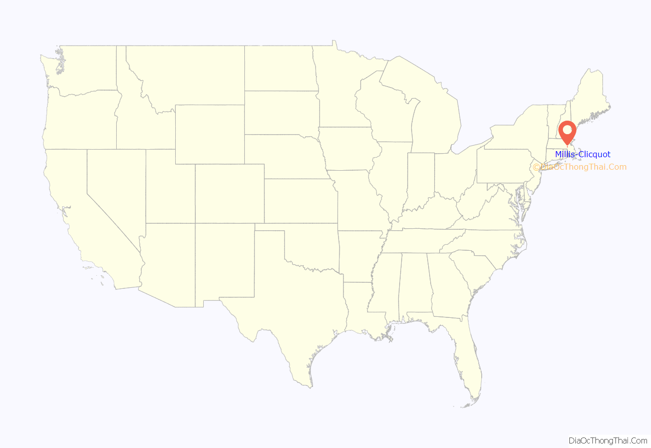
Millis-Clicquot location map. Where is Millis-Clicquot CDP?
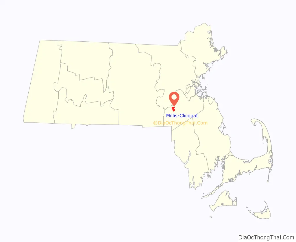
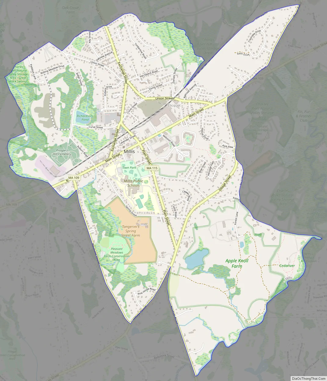
Millis-Clicquot Road Map
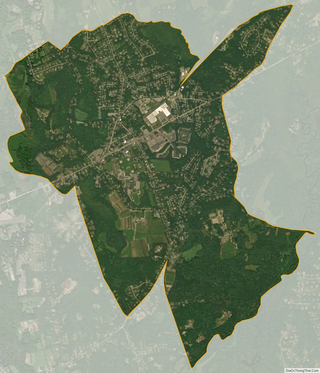
Millis-Clicquot city Satellite Map
Geography
Millis-Clicquot is located at 42°10′9″N 71°21′19″W / 42.16917°N 71.35528°W / 42.16917; -71.35528 (42.169045, -71.355159).
According to the United States Census Bureau, the CDP has a total area of 8.1 km (3.1 mi), of which 3.1 mi (8.0 km) is land and 0.04 mi (0.1 km) of it (0.64%) is water.
See also
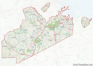
Map of Massachusetts State and its subdivision: Map of other states:- Alabama
- Alaska
- Arizona
- Arkansas
- California
- Colorado
- Connecticut
- Delaware
- District of Columbia
- Florida
- Georgia
- Hawaii
- Idaho
- Illinois
- Indiana
- Iowa
- Kansas
- Kentucky
- Louisiana
- Maine
- Maryland
- Massachusetts
- Michigan
- Minnesota
- Mississippi
- Missouri
- Montana
- Nebraska
- Nevada
- New Hampshire
- New Jersey
- New Mexico
- New York
- North Carolina
- North Dakota
- Ohio
- Oklahoma
- Oregon
- Pennsylvania
- Rhode Island
- South Carolina
- South Dakota
- Tennessee
- Texas
- Utah
- Vermont
- Virginia
- Washington
- West Virginia
- Wisconsin
- Wyoming