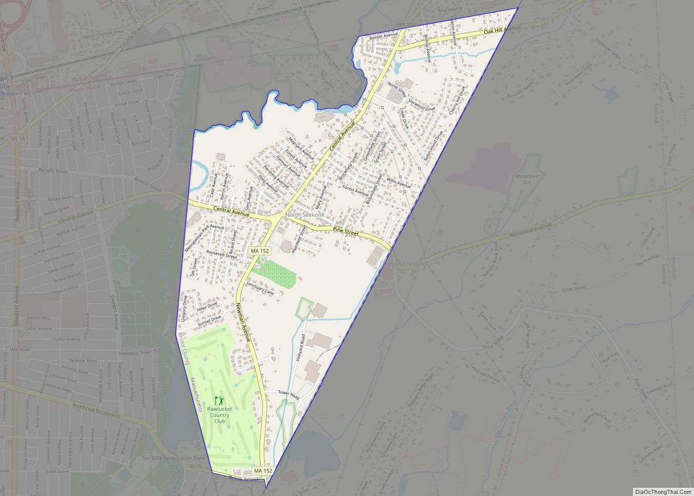
North Westport is a census-designated place (CDP) in the town of Westport in Bristol County, Massachusetts, United States. The population was 4,571 at the 2010 census.
| Name: | North Westport CDP |
|---|---|
| LSAD Code: | 57 |
| LSAD Description: | CDP (suffix) |
| State: | Massachusetts |
| County: | Bristol County |
| Elevation: | 138 ft (42 m) |
| Total Area: | 6.18 sq mi (16.00 km²) |
| Land Area: | 5.19 sq mi (13.44 km²) |
| Water Area: | 0.99 sq mi (2.56 km²) |
| Total Population: | 4,720 |
| Population Density: | 909.44/sq mi (351.16/km²) |
| FIPS code: | 2549710 |
| GNISfeature ID: | 1867310 |
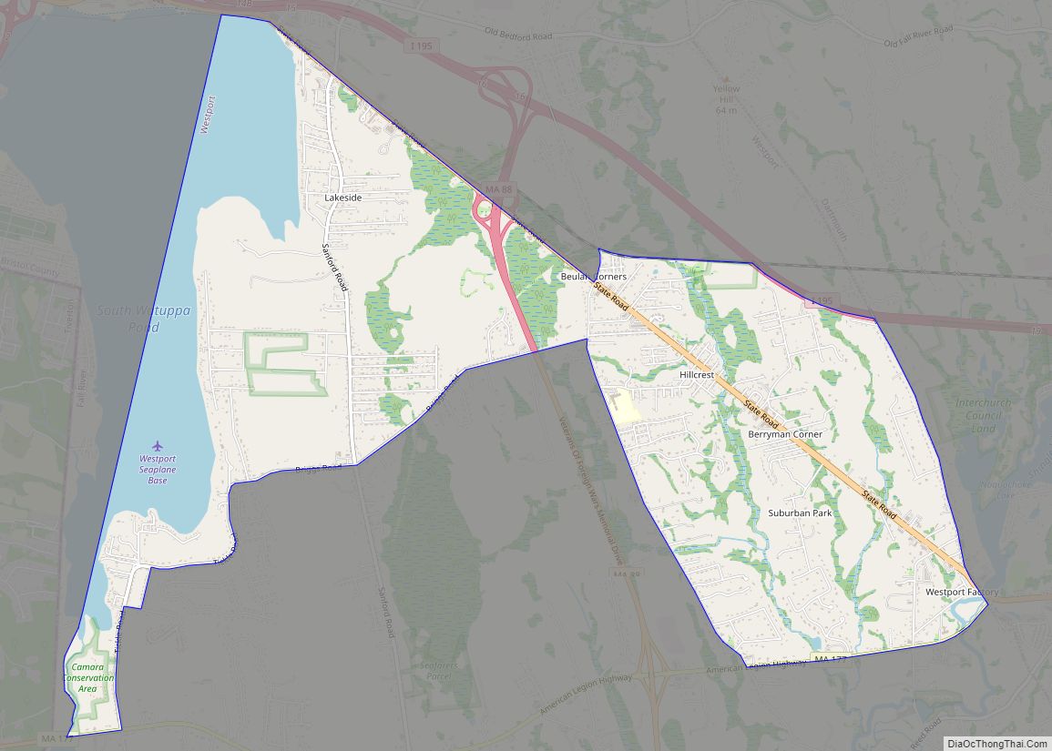
Online Interactive Map
Click on ![]() to view map in "full screen" mode.
to view map in "full screen" mode.
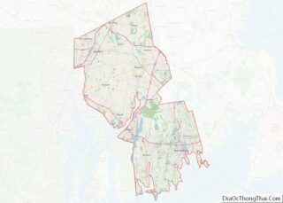
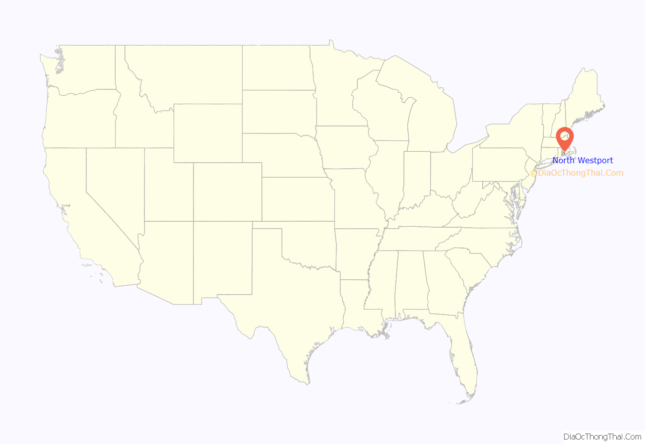
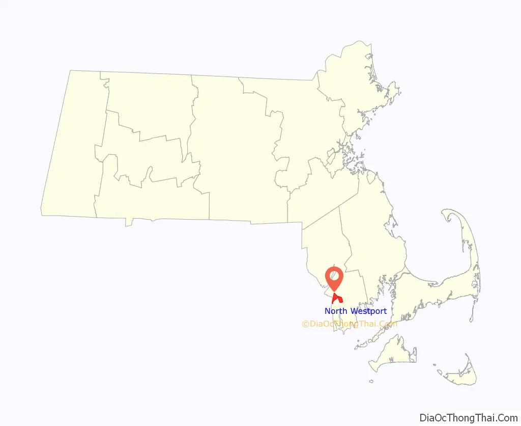
North Westport location map. Where is North Westport CDP?
History
The village of North Westport, is the oldest village out of seven villages located in the town of Westport, Massachusetts. The village of North Westport and Westport Factory were the headquarters of the Westport Manufacturing Company which was established in 1854 on the banks of the east branch of the Westport River. The village had many schools, churches, offices, and stores, which provided many jobs for residents in the area at that time. The electric trolley services, which was built in 1894, connected the cities of Fall River and New Bedford as well as making stops at the factory and nearby Lincoln Park which was an amusement park that provided entertainment for people, especially in the summer months. Unfortunately, the village went downhill in the mid to late 20th century as the Westport Manufacturing Company went bankrupt and the closing of Lincoln Park in 1987. Today, the village has become a quiet neighborhood and is still home to many small businesses and stores along U.S. Route 6.
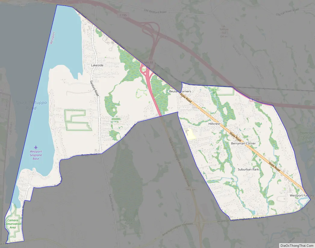
North Westport Road Map
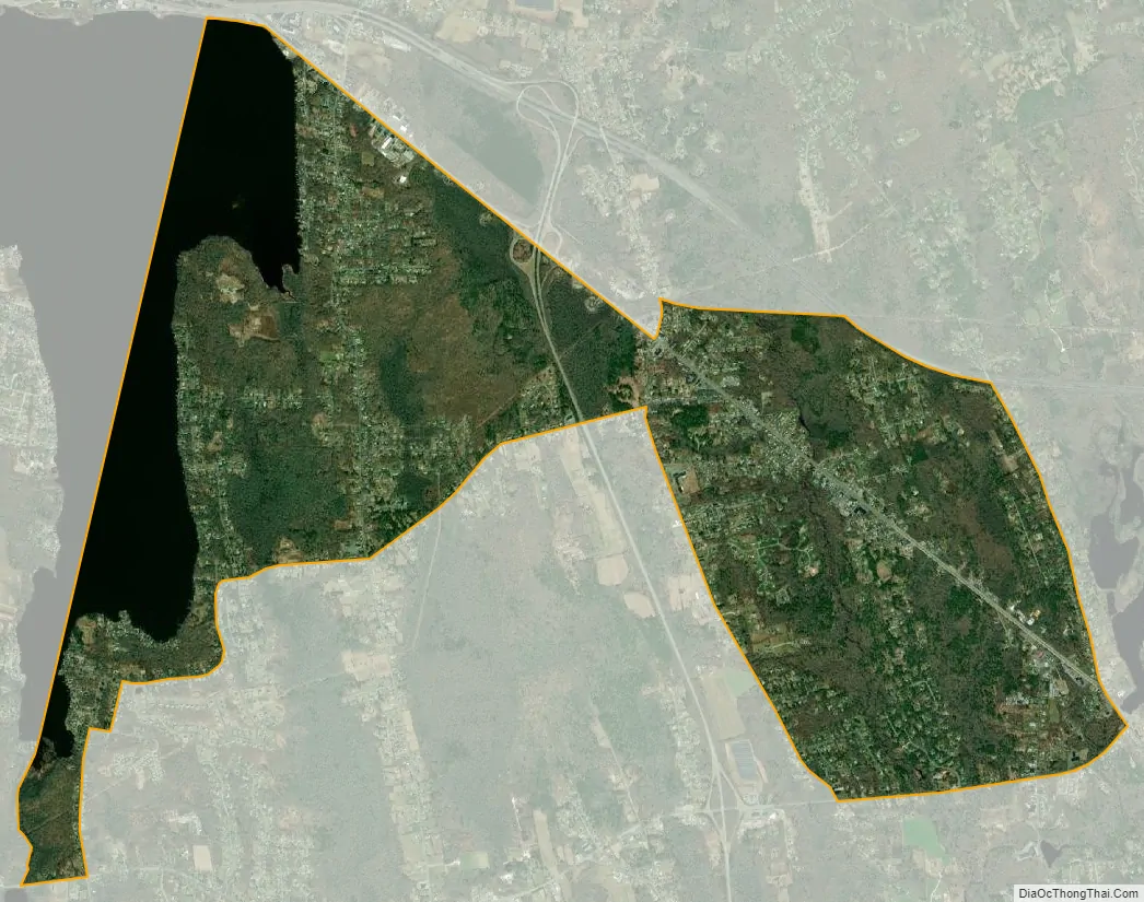
North Westport city Satellite Map
Geography
North Westport is located at 41°39′38″N 71°5′18″W / 41.66056°N 71.08833°W / 41.66056; -71.08833 (41.660495, -71.088407).
According to the United States Census Bureau, the CDP has a total area of 15.9 km (6.2 mi). 13.4 km (5.2 mi) of it is land and 2.5 km (1.0 mi) of it (15.61%) is water.
See also
Map of Massachusetts State and its subdivision: Map of other states:- Alabama
- Alaska
- Arizona
- Arkansas
- California
- Colorado
- Connecticut
- Delaware
- District of Columbia
- Florida
- Georgia
- Hawaii
- Idaho
- Illinois
- Indiana
- Iowa
- Kansas
- Kentucky
- Louisiana
- Maine
- Maryland
- Massachusetts
- Michigan
- Minnesota
- Mississippi
- Missouri
- Montana
- Nebraska
- Nevada
- New Hampshire
- New Jersey
- New Mexico
- New York
- North Carolina
- North Dakota
- Ohio
- Oklahoma
- Oregon
- Pennsylvania
- Rhode Island
- South Carolina
- South Dakota
- Tennessee
- Texas
- Utah
- Vermont
- Virginia
- Washington
- West Virginia
- Wisconsin
- Wyoming