Norwood is a town and census-designated place in Norfolk County, Massachusetts, United States. Norwood is part of the Greater Boston area. As of the 2020 census, the population was 31,611. The town was named after Norwood, England. Norwood is on the Neponset River, which runs all the way to Boston Harbor from Foxborough.
| Name: | Norwood CDP |
|---|---|
| LSAD Code: | 57 |
| LSAD Description: | CDP (suffix) |
| State: | Massachusetts |
| County: | Norfolk County |
| Incorporated: | 1872 |
| Elevation: | 146 ft (45 m) |
| Total Area: | 10.6 sq mi (27.3 km²) |
| Land Area: | 10.5 sq mi (27.1 km²) |
| Water Area: | 0.1 sq mi (0.2 km²) |
| Total Population: | 31,611 |
| Population Density: | 3,010.6/sq mi (1,166.5/km²) |
| ZIP code: | 02062 |
| Area code: | 339 / 781 |
| FIPS code: | 2550285 |
| GNISfeature ID: | 0619460 |
| Website: | www.norwoodma.gov |
Online Interactive Map
Click on ![]() to view map in "full screen" mode.
to view map in "full screen" mode.
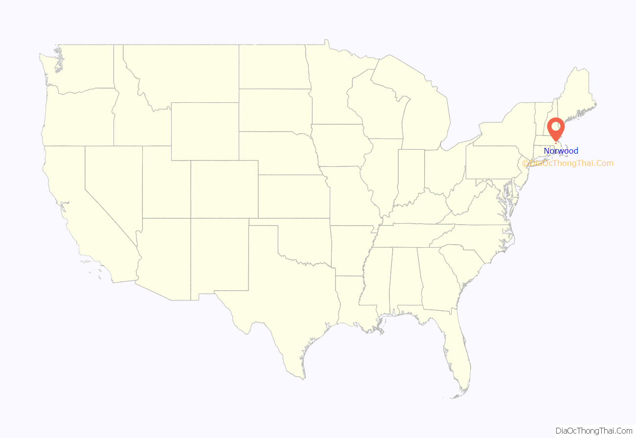
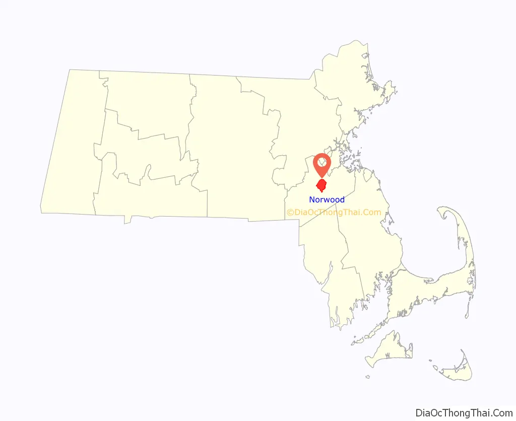
Norwood location map. Where is Norwood CDP?
History
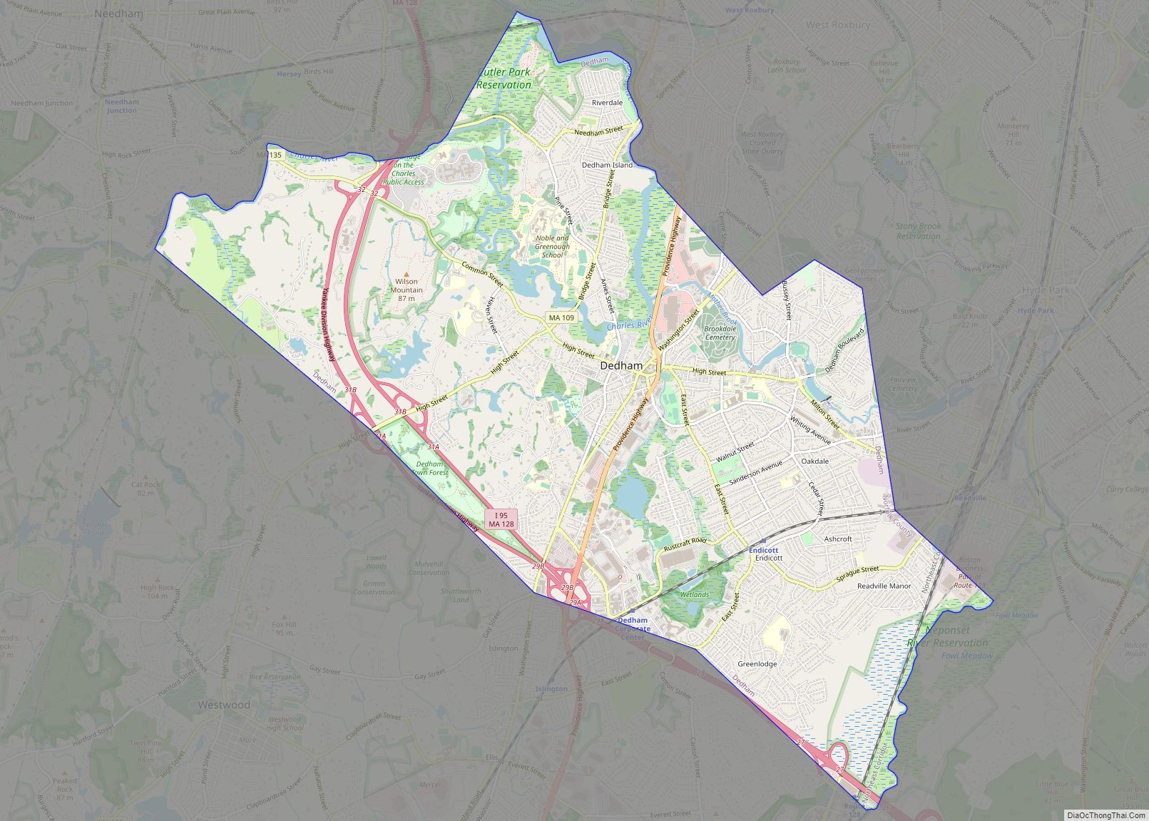
The Town of Norwood, officially formed in 1872, was until that time part of Dedham, known as the “mother of towns”, as fourteen of the present communities of eastern Massachusetts lay within its original borders. Long used as a hunting ground by Native Americans, Norwood was first settled by Ezra Morse in 1678. He set up a sawmill in what is now South Norwood, the part of town to which the first concentration of families, almost all of whom were farmers, migrated over the next half-century.
During the American Revolution, there was a Minuteman company organized in the area. Its captain, Aaron Guild, on learning of the British marching on Lexington and Concord to seize the munitions stored there, rode to join the fight and arrived in time to fire on the British at Concord Bridge and participate in the running battle that chased the Redcoats back to Boston.
Abraham Lincoln passed through the town during his pre-inaugural tour of New England.
The Oak View Mansion, located in Norwood, was built by Francis Olney Winslow. Construction began in 1868 and was completed in 1870. Oak View was the scene of almost constant socializing. Some of the most prominent figures hosted in Oak View were President and future Supreme Court Justice William Howard Taft and President Calvin Coolidge.
The town shares its name with a town in the borough of Croydon, South London, England. When Norwood separated from Dedham, they considered naming the new community Balch, after the Rev. Thomas Balch.
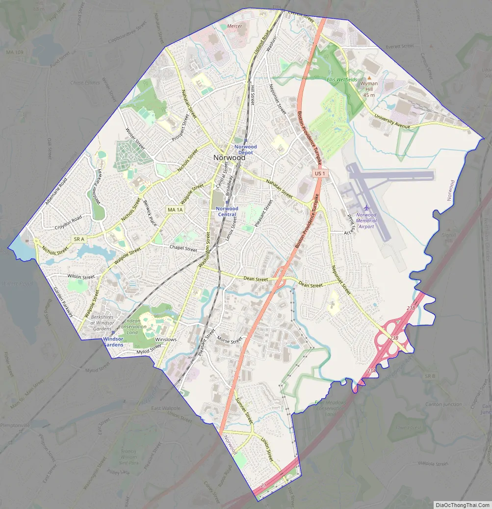
Norwood Road Map
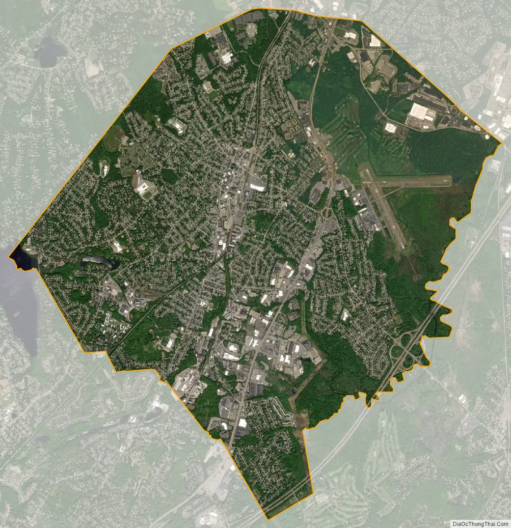
Norwood city Satellite Map
Geography
Norwood is located at 42°11′9″N 71°12′5″W / 42.18583°N 71.20139°W / 42.18583; -71.20139 (42.185974, −71.201661).
The Town of Norwood is located 13 miles southwest of Boston, placing it in the Boston Metropolitan Area.
According to the United States Census Bureau, the town has a total area of 10.6 square miles (27.3 km), of which 10.5 square mile (27.1 km) is land and 0.1 square mile (0.2 km) (0.66%) is water.
See also
Map of Massachusetts State and its subdivision: Map of other states:- Alabama
- Alaska
- Arizona
- Arkansas
- California
- Colorado
- Connecticut
- Delaware
- District of Columbia
- Florida
- Georgia
- Hawaii
- Idaho
- Illinois
- Indiana
- Iowa
- Kansas
- Kentucky
- Louisiana
- Maine
- Maryland
- Massachusetts
- Michigan
- Minnesota
- Mississippi
- Missouri
- Montana
- Nebraska
- Nevada
- New Hampshire
- New Jersey
- New Mexico
- New York
- North Carolina
- North Dakota
- Ohio
- Oklahoma
- Oregon
- Pennsylvania
- Rhode Island
- South Carolina
- South Dakota
- Tennessee
- Texas
- Utah
- Vermont
- Virginia
- Washington
- West Virginia
- Wisconsin
- Wyoming