Onset is a census-designated place (CDP) in the town of Wareham, Massachusetts, United States. The population was 1,573 at the 2010 census.
| Name: | Onset CDP |
|---|---|
| LSAD Code: | 57 |
| LSAD Description: | CDP (suffix) |
| State: | Massachusetts |
| County: | Plymouth County |
| Elevation: | 10 ft (3 m) |
| Total Area: | 1.29 sq mi (3.35 km²) |
| Land Area: | 1.08 sq mi (2.79 km²) |
| Water Area: | 0.22 sq mi (0.56 km²) |
| Total Population: | 1,617 |
| Population Density: | 1,500.00/sq mi (579.01/km²) |
| ZIP code: | 02558 |
| Area code: | 508 |
| FIPS code: | 2551160 |
| GNISfeature ID: | 0615548 |
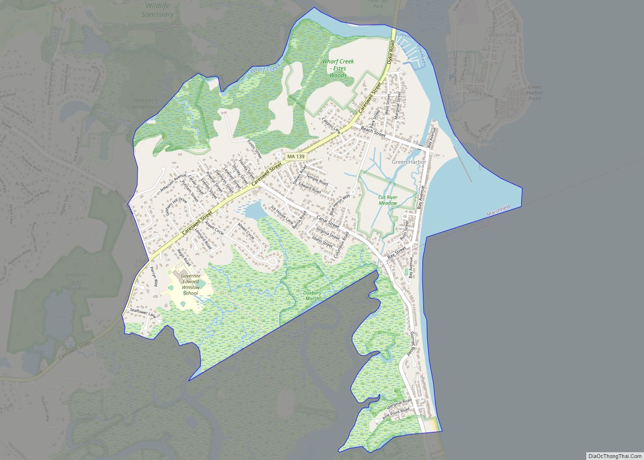
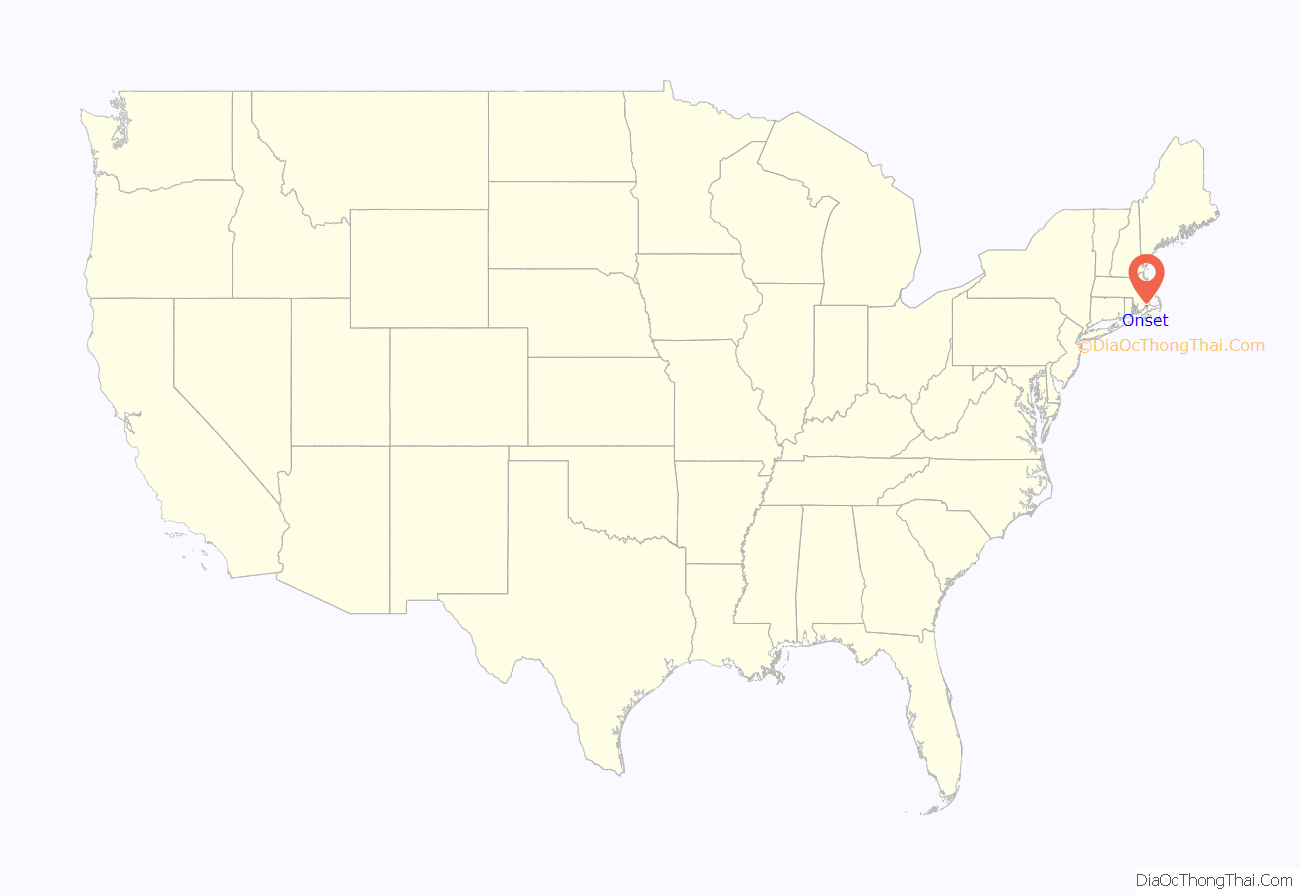
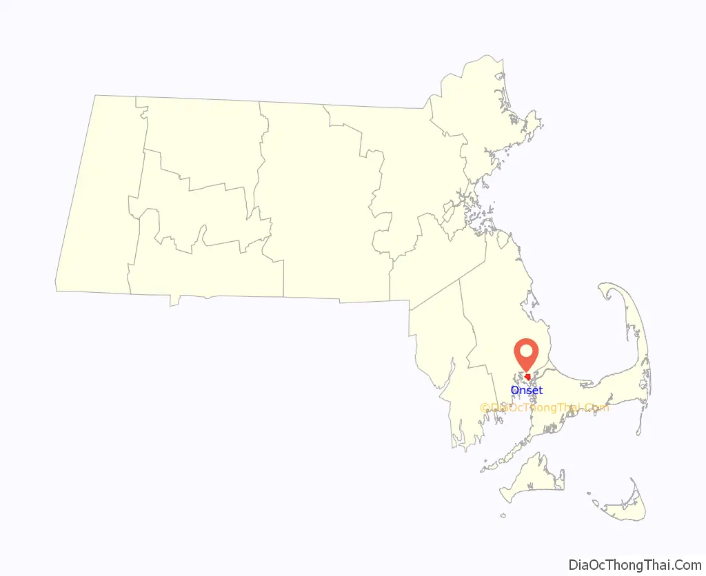
Online Interactive Map
Click on ![]() to view map in "full screen" mode.
to view map in "full screen" mode.
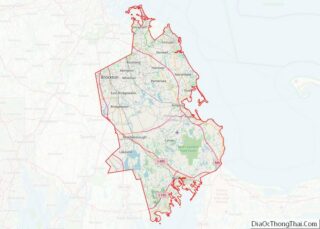
Onset location map. Where is Onset CDP?
History
Onset was developed in the 1880s as a summer camp meeting for Spiritualists. Many of the existing cottages in Onset were built as second homes for individuals from Boston, Taunton, Brockton and other northeastern cities who gathered to hear mediums communicate with the dead. While it was run by the Spiritualists, the village was known as Onset Bay Grove.
It has fallen in line since its inception as a non-religious area with a large beachfront and some of the attractions that bring a summer vacationing crowd.
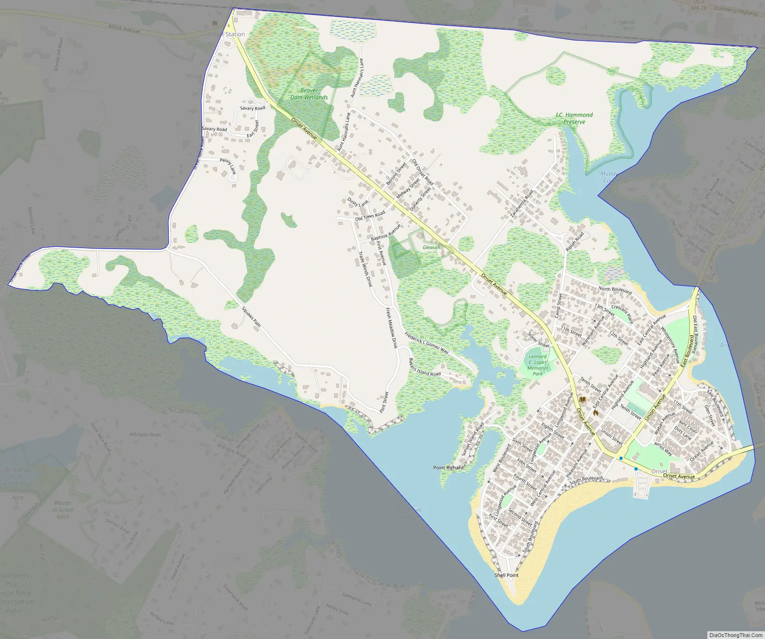
Onset Road Map
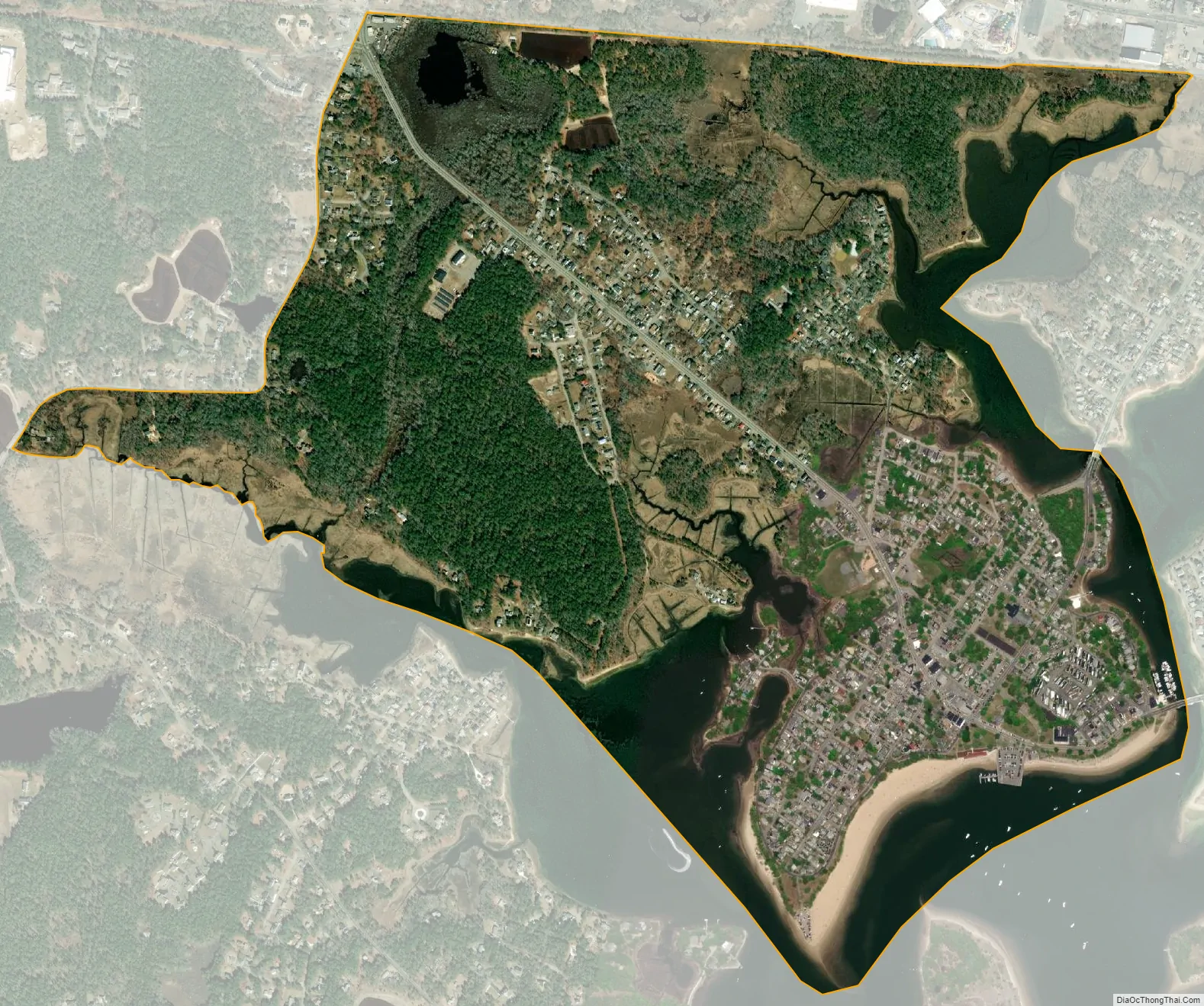
Onset city Satellite Map
Geography
Onset is located at 41°44′47″N 70°39′48″W / 41.74639°N 70.66333°W / 41.74639; -70.66333 (41.746424, -70.663251).
According to the United States Census Bureau, the CDP has a total area of 3.4 km (1.3 mi), of which 2.8 km (1.1 mi) is land and 0.6 km (0.2 mi) (16.92%) is water.
See also
Map of Massachusetts State and its subdivision: Map of other states:- Alabama
- Alaska
- Arizona
- Arkansas
- California
- Colorado
- Connecticut
- Delaware
- District of Columbia
- Florida
- Georgia
- Hawaii
- Idaho
- Illinois
- Indiana
- Iowa
- Kansas
- Kentucky
- Louisiana
- Maine
- Maryland
- Massachusetts
- Michigan
- Minnesota
- Mississippi
- Missouri
- Montana
- Nebraska
- Nevada
- New Hampshire
- New Jersey
- New Mexico
- New York
- North Carolina
- North Dakota
- Ohio
- Oklahoma
- Oregon
- Pennsylvania
- Rhode Island
- South Carolina
- South Dakota
- Tennessee
- Texas
- Utah
- Vermont
- Virginia
- Washington
- West Virginia
- Wisconsin
- Wyoming