Somerset is a town in Bristol County, Massachusetts, United States. The population was 18,303 at the 2020 census. It is the birthplace and hometown of Clifford Milburn Holland (1883–1924), the chief engineer and namesake of the Holland Tunnel in New York City.
| Name: | Somerset CDP |
|---|---|
| LSAD Code: | 57 |
| LSAD Description: | CDP (suffix) |
| State: | Massachusetts |
| County: | Bristol County |
| Incorporated: | 1790 |
| Elevation: | 50 ft (15 m) |
| Total Area: | 12.0 sq mi (31.0 km²) |
| Land Area: | 8.1 sq mi (21.0 km²) |
| Water Area: | 3.9 sq mi (10.0 km²) |
| Total Population: | 18,303 |
| Population Density: | 1,500/sq mi (590/km²) |
| Area code: | 508/774 |
| FIPS code: | 2562465 |
| GNISfeature ID: | 0619438 |
| Website: | www.townofsomerset.org |
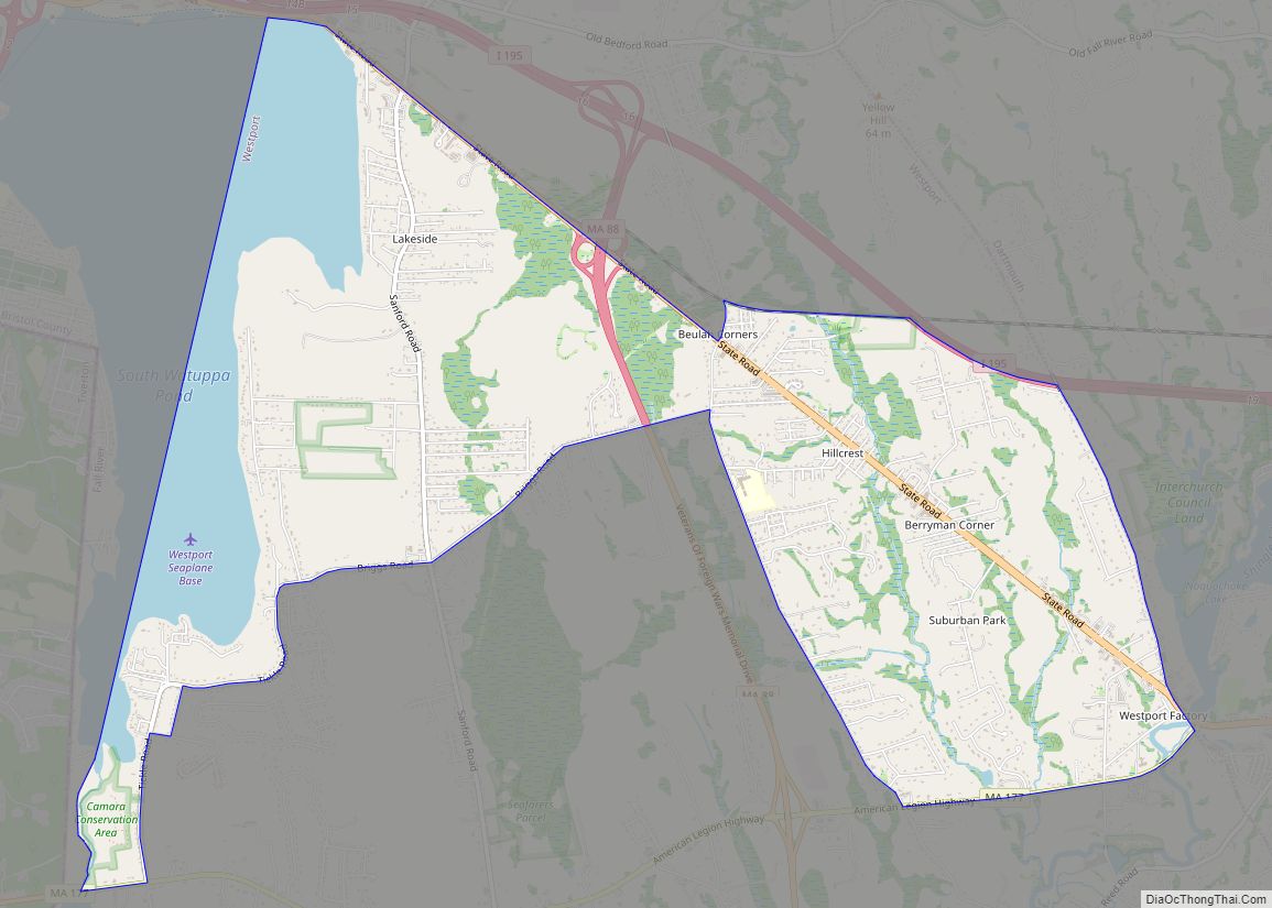
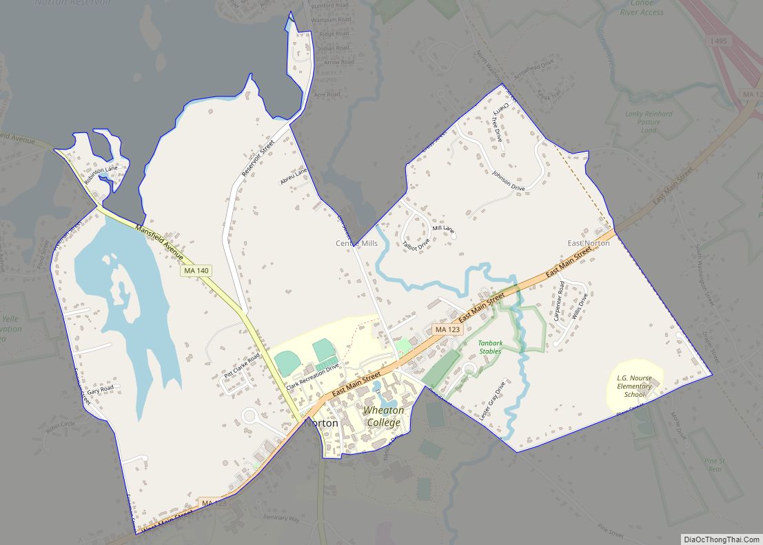
Online Interactive Map
Click on ![]() to view map in "full screen" mode.
to view map in "full screen" mode.
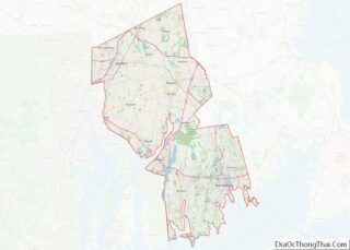
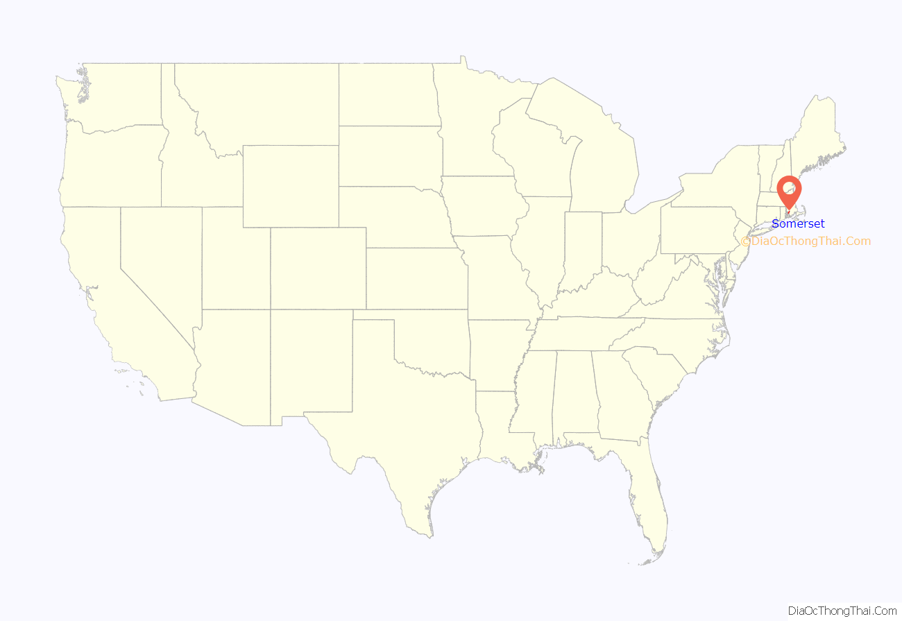
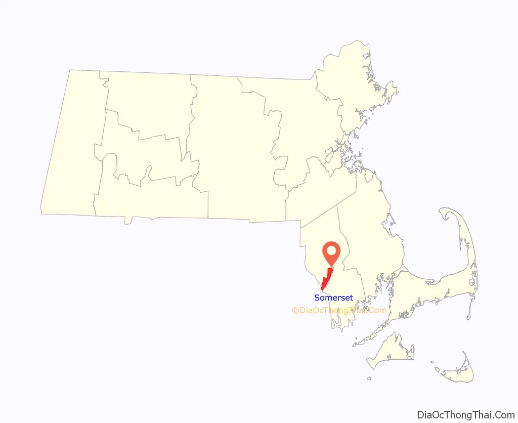
Somerset location map. Where is Somerset CDP?
History
Somerset was first settled in 1677 on the Shawomet lands, and was officially incorporated in 1790. It was named for Somerset Square in Boston, which was, in turn, named for the county of Somerset in England. It was once a vital shipping point, and after the War of 1812 it was one of America’s chief distribution points. In 1872, it became the site of a major coal port, and in the early 20th century a large cannery existed in the town. However, as neighboring Fall River‘s industry grew, it absorbed much of Somerset’s, and the town took on more of a suburban character. In fact, the town’s population grew during the Great Depression, as many people from Fall River and other localities moved to the suburb. Today, the town’s major industry (other than suburban services) is power generation, with the Montaup Electric Company plant upriver (founded in 1923) and the Brayton Point Power Station at the town’s southern tip (founded in 1963). Brayton Point has been the target of much criticism for its pollution problems from burning coal. It closed May 31, 2017.
Historically, the town has had a connective relationship with Fall River. Originally, Slade’s Ferry ran across the Taunton River to connect the two towns since the late 18th century. In the late 19th century, the Slade’s Ferry Bridge connected the two towns, from the current southern terminus of Brayton Avenue in Somerset to Brownell Street in Fall River, and was double-decked, with a railroad section on the top level. The bridge was dismantled after closing in 1970 due to its rapid deterioration and its low height. (The path of the old bridge is still somewhat visible; two large sets of power lines cross the river at the same point.) The Brightman Street Bridge just to the north was opened in 1908. A new bridge, named the Veterans Memorial Bridge, was partially completed prior to a dedication ceremony held on September 11, 2011. At first, only the westbound side of the bridge was open to traffic. Since then, both lanes of the bridge have been opened for traffic.
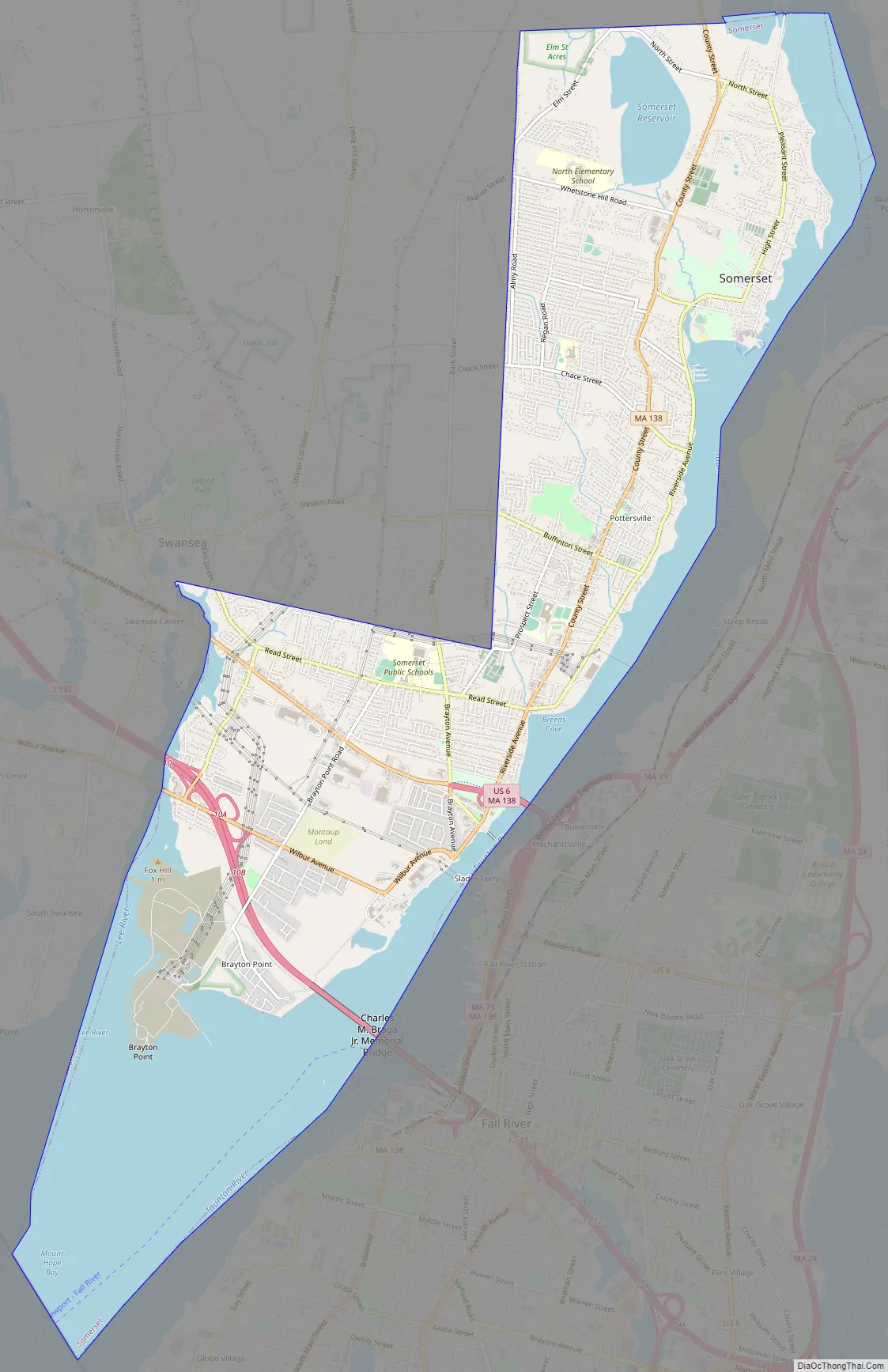
Somerset Road Map
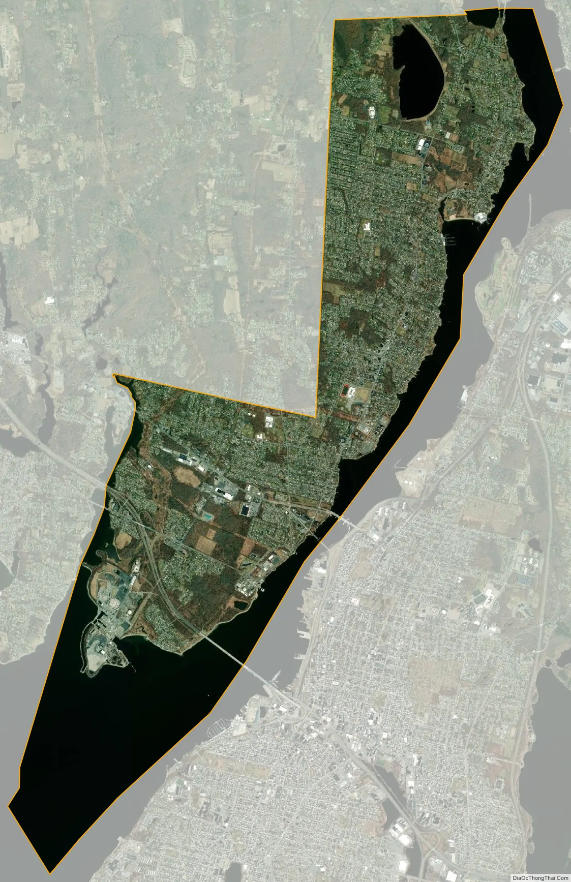
Somerset city Satellite Map
Geography
Somerset is located at 41°44′54″N 71°9′11″W / 41.74833°N 71.15306°W / 41.74833; -71.15306 (41.748502, −71.153188). According to the United States Census Bureau, the town has a total area of 12.0 square miles (31 km), of which 8.1 square miles (21 km) is land and 3.9 square miles (10 km), or 32.30%, is water. It borders on Mount Hope Bay and Narragansett Bay, and its east border is formed by the Taunton River, an arm of that bay.
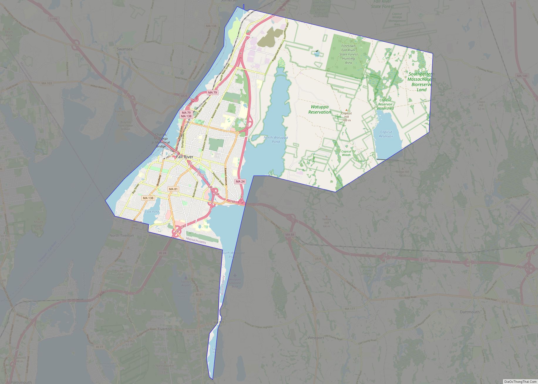
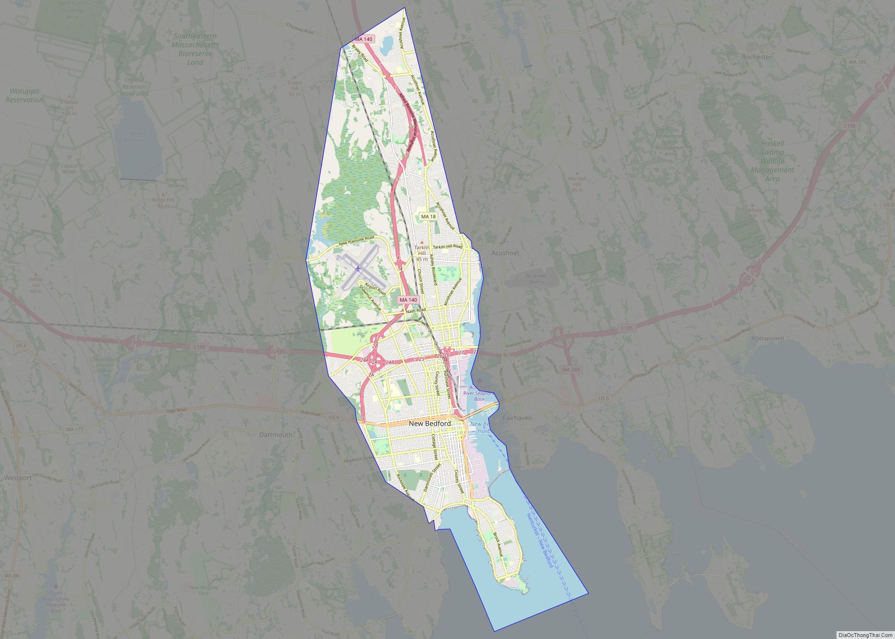
Somerset is bordered by Swansea on the west, Dighton on the north, Fall River on the east (across the Taunton River), and Bristol, Rhode Island, to the south. The border with Bristol is located in the middle of the bay. Cities close to Somerset include Fall River, New Bedford, Attleboro, and Providence, and the town is one hour’s drive south of Boston.
The town is accessed via Interstate 195, which enters the town via the Braga Bridge from Fall River and has an exit at Route 103. It is also connected via the Veterans Memorial Bridge, the fourth bridge to cross the Taunton River between the town and city. The Veterans Memorial Bridge carries U.S. Route 6 and Route 138 across the river. Route 6 heads east-west towards Swansea, with several shopping plazas along the route. Route 138 travels north from the bridge along County Street, the town’s main north-south thoroughfare, towards Dighton. Route 103’s eastern terminus lies at the former intersection of Routes 6 and 138 just south of the new bridge. It heads south-southeast for three-quarters of a mile before turning west-northwest towards Swansea, crossing into that town at a bridge over Lee’s River. Due to the controversy in Fall River over the proposed building of an LNG terminal, town officials have consider keeping the old Brightman Street Bridge open, as the tankers would not fit through it, and the terminal’s proposed site is upriver of the bridges. However, as of the opening of the new bridge, the bridge is closed, as the old roads leading to it on the Fall River side have been removed to make way for the new bridge’s ramp system.
Somerset has bus service along Route 6 provided by the Southeastern Regional Transit Authority (SRTA). The nearest regional bus service is in Fall River, and the nearest rail service is in Providence. There are plans in the works to bring commuter rail service to Fall River by 2023, which would give the town rail access to Boston. The town’s nearest regional airport is in New Bedford, 18 miles (29 km) away. Until the late 1990s, the nearest airport was in Fall River; however, the airport closed due to various issues. The nearest national airport is T. F. Green Airport in Rhode Island, 27 miles (43 km) away. The nearest international airport is Logan International Airport, 55 miles (89 km) away in Boston.
See also
Map of Massachusetts State and its subdivision: Map of other states:- Alabama
- Alaska
- Arizona
- Arkansas
- California
- Colorado
- Connecticut
- Delaware
- District of Columbia
- Florida
- Georgia
- Hawaii
- Idaho
- Illinois
- Indiana
- Iowa
- Kansas
- Kentucky
- Louisiana
- Maine
- Maryland
- Massachusetts
- Michigan
- Minnesota
- Mississippi
- Missouri
- Montana
- Nebraska
- Nevada
- New Hampshire
- New Jersey
- New Mexico
- New York
- North Carolina
- North Dakota
- Ohio
- Oklahoma
- Oregon
- Pennsylvania
- Rhode Island
- South Carolina
- South Dakota
- Tennessee
- Texas
- Utah
- Vermont
- Virginia
- Washington
- West Virginia
- Wisconsin
- Wyoming