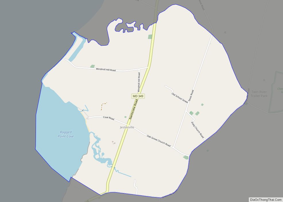
Bivalve is an unincorporated community and census-designated place along the eastern shore of the lower Nanticoke River, near its mouth on the Chesapeake Bay, in Wicomico County, Maryland, United States. Its population was 201 as of the 2010 census. Bivalve takes its name from the oyster, upon which the town’s economy once depended. It is part of the Salisbury, Maryland-Delaware Metropolitan Statistical Area.
The Yellow Brick House was listed on the National Register of Historic Places in 1978.
| Name: | Bivalve CDP |
|---|---|
| LSAD Code: | 57 |
| LSAD Description: | CDP (suffix) |
| State: | Maryland |
| County: | Wicomico County |
| Elevation: | 13 ft (4 m) |
| Total Area: | 1.49 sq mi (3.87 km²) |
| Land Area: | 1.45 sq mi (3.77 km²) |
| Water Area: | 0.04 sq mi (0.10 km²) |
| Total Population: | 185 |
| Population Density: | 127.24/sq mi (49.12/km²) |
| ZIP code: | 21814 |
| FIPS code: | 2407675 |
| GNISfeature ID: | 589760 |
Online Interactive Map
Click on ![]() to view map in "full screen" mode.
to view map in "full screen" mode.
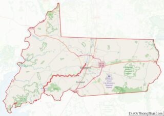
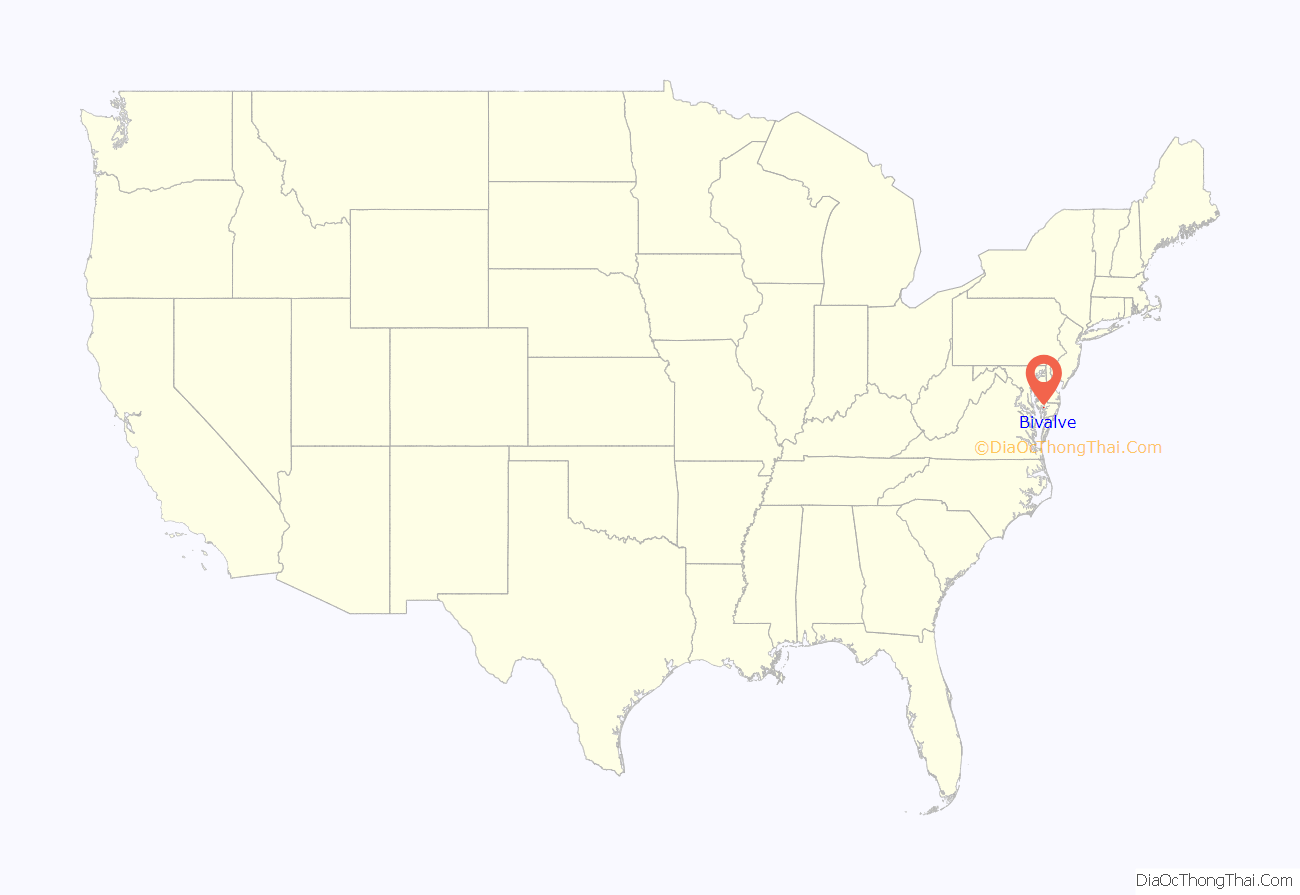
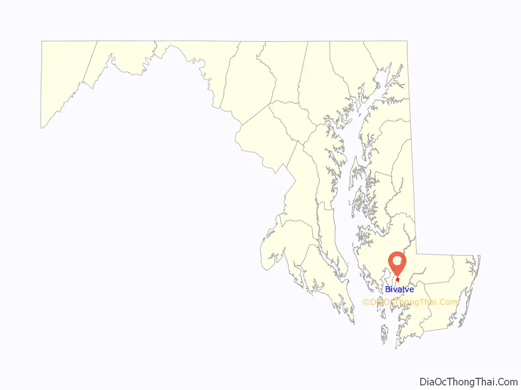
Bivalve location map. Where is Bivalve CDP?
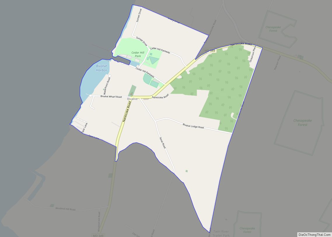
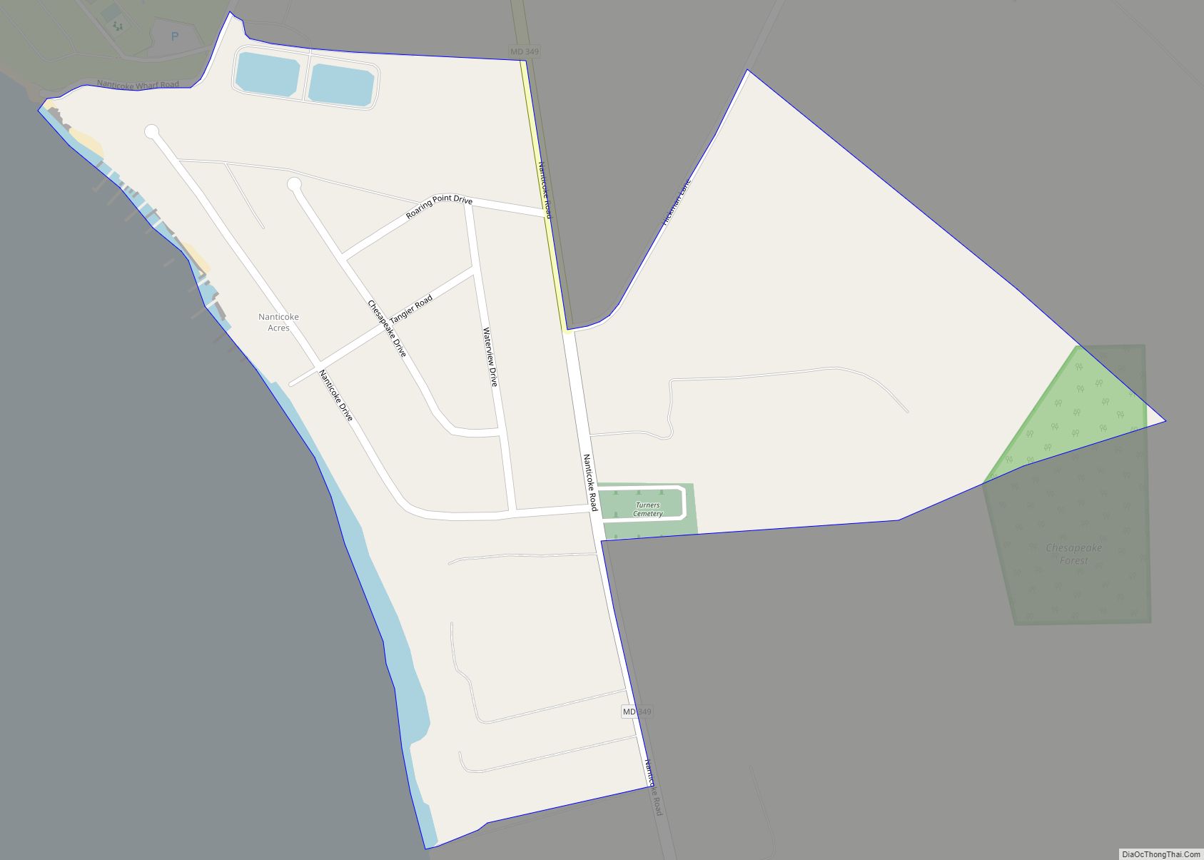
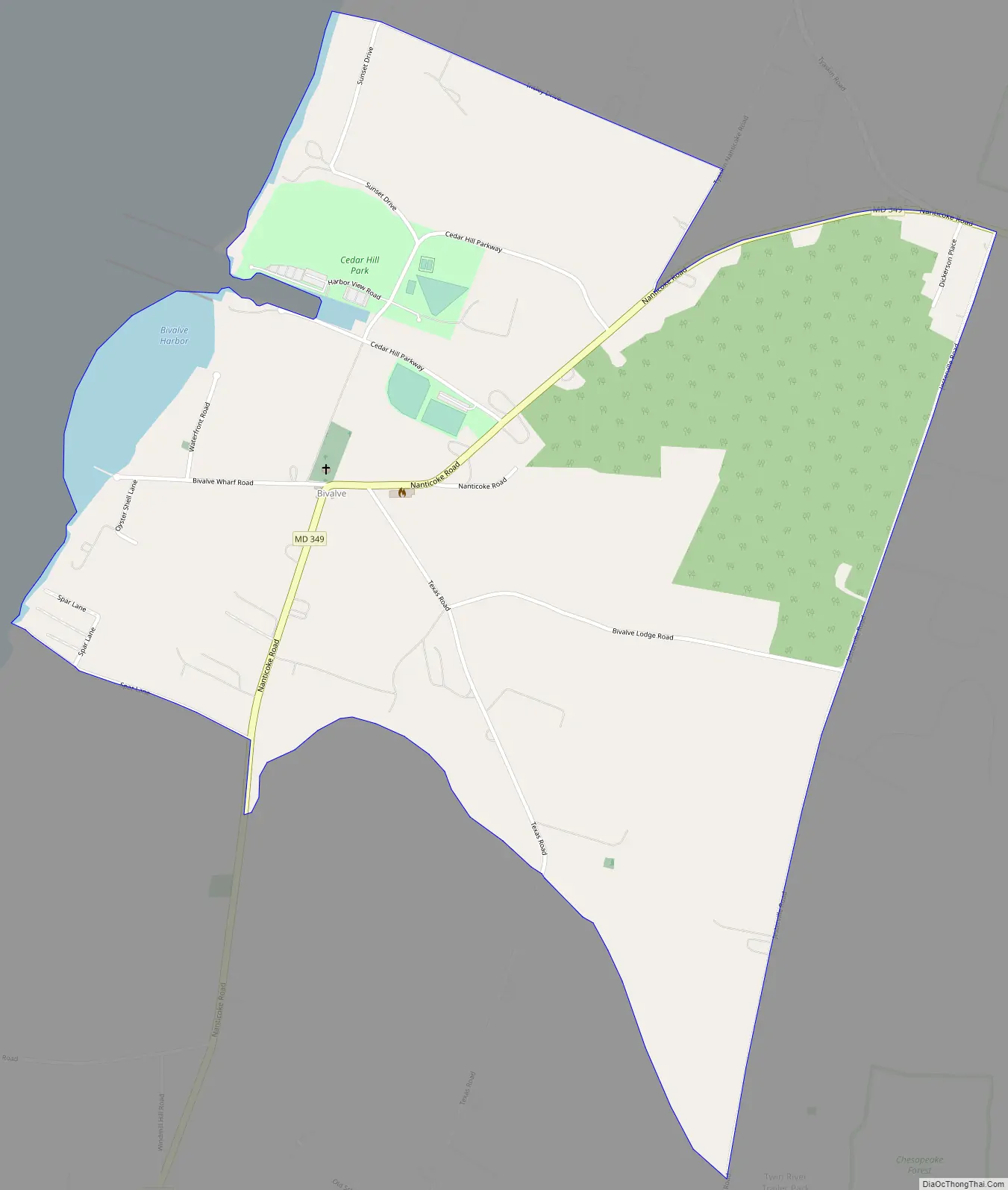
Bivalve Road Map
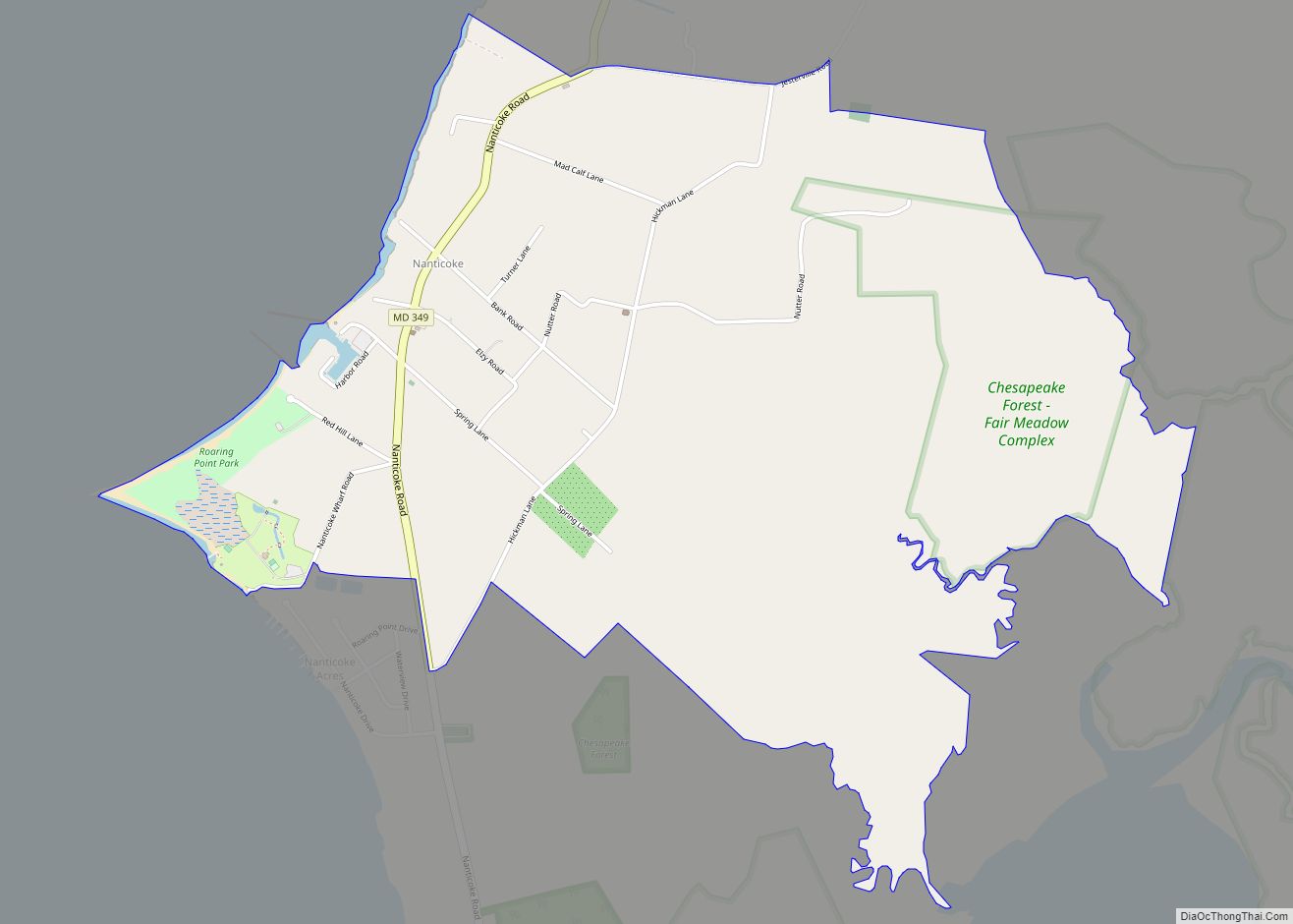
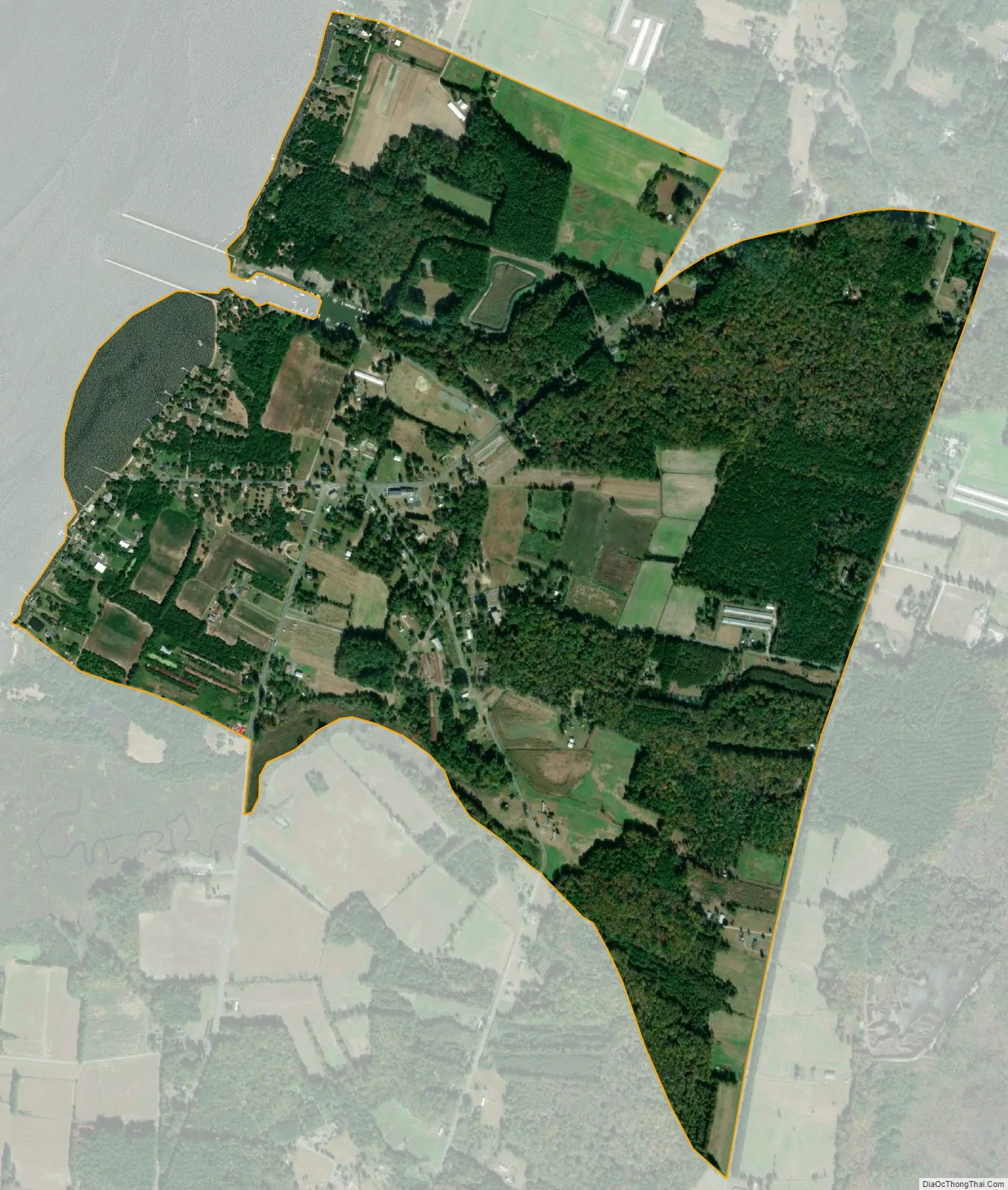
Bivalve city Satellite Map
See also
Map of Maryland State and its subdivision: Map of other states:- Alabama
- Alaska
- Arizona
- Arkansas
- California
- Colorado
- Connecticut
- Delaware
- District of Columbia
- Florida
- Georgia
- Hawaii
- Idaho
- Illinois
- Indiana
- Iowa
- Kansas
- Kentucky
- Louisiana
- Maine
- Maryland
- Massachusetts
- Michigan
- Minnesota
- Mississippi
- Missouri
- Montana
- Nebraska
- Nevada
- New Hampshire
- New Jersey
- New Mexico
- New York
- North Carolina
- North Dakota
- Ohio
- Oklahoma
- Oregon
- Pennsylvania
- Rhode Island
- South Carolina
- South Dakota
- Tennessee
- Texas
- Utah
- Vermont
- Virginia
- Washington
- West Virginia
- Wisconsin
- Wyoming