Boonsboro is a town in Washington County, Maryland, United States, located at the foot of South Mountain. It nearly borders Frederick County and is proximate to the Antietam National Battlefield. The population was 3,336 at the 2010 census.
| Name: | Boonsboro town |
|---|---|
| LSAD Code: | 43 |
| LSAD Description: | town (suffix) |
| State: | Maryland |
| County: | Washington County |
| Founded: | 1792 |
| Incorporated: | 1831 |
| Elevation: | 545 ft (166 m) |
| Land Area: | 3.05 sq mi (7.91 km²) |
| Water Area: | 0.01 sq mi (0.01 km²) 0.34% |
| Population Density: | 1,244.35/sq mi (480.46/km²) |
| ZIP code: | 21713 |
| Area code: | 301, 240 |
| FIPS code: | 2408625 |
| GNISfeature ID: | 0589787 |
Online Interactive Map
Click on ![]() to view map in "full screen" mode.
to view map in "full screen" mode.
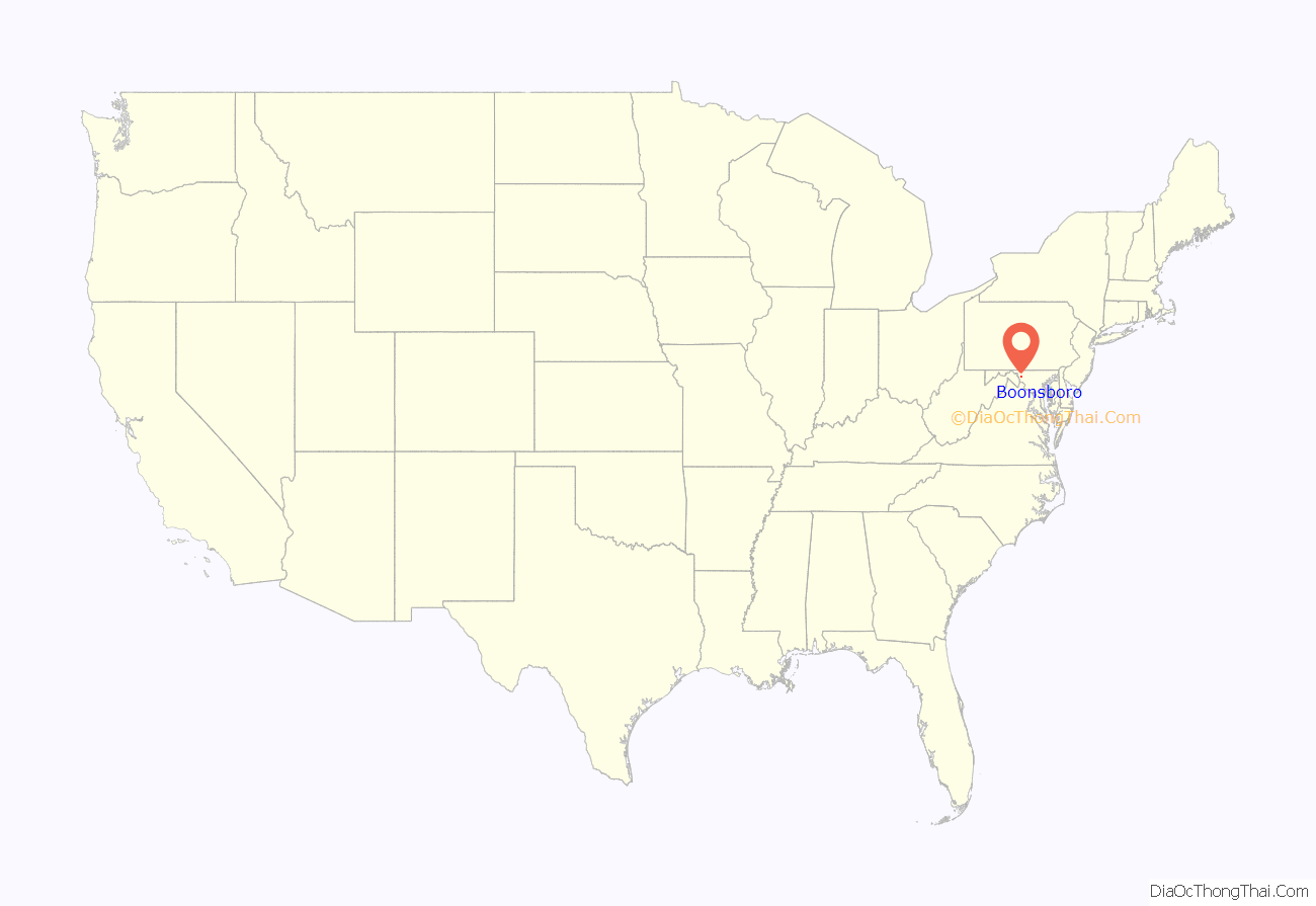
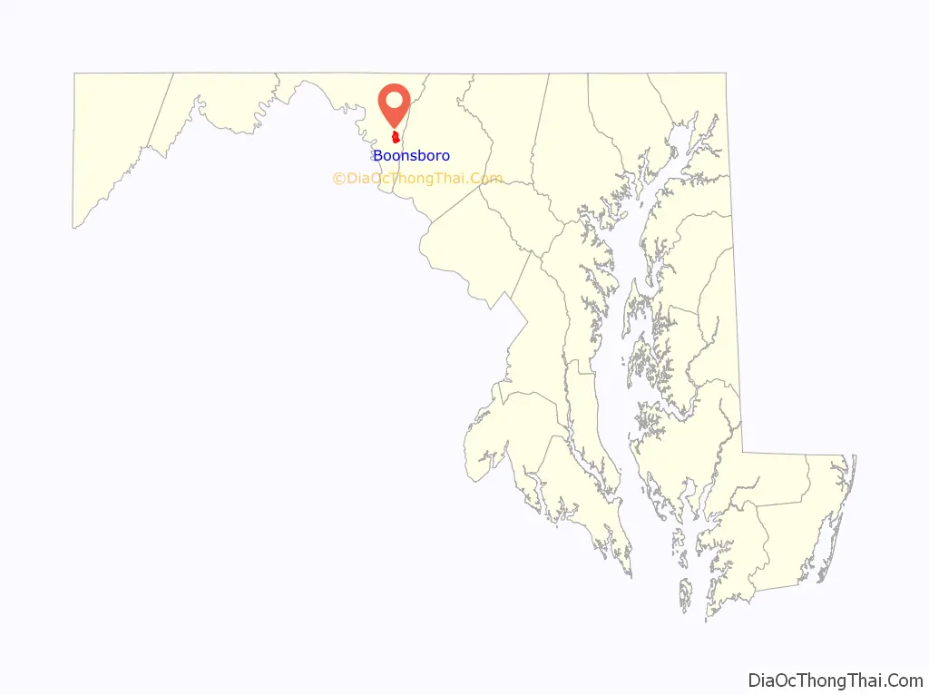
Boonsboro location map. Where is Boonsboro town?
History
Local lore asserts Boonsboro was founded by George Boone, a cousin of Daniel Boone, and was originally named “Margaretsville” after his wife. The town was incorporated as Boonesborough in 1831. Local newspapers and villagers preferred the name Boonsboro. The former name was used on some documents as late as 1903.
Boonsboro was a key town during the American Civil War. Two battles were fought in its present borders. The town was also used to keep wounded soldiers after the Battle of Antietam in September 1862. Southeast of the town was the site of the Battle of South Mountain.
Boonsboro lies on what used to be the National Road. Today it is known as either the Old National Pike or Alt-U.S. 40. In Boonsboro it is Main Street. The route was originally established as a road improvement project in 1758 to shorten travel between Fredericktown and Fort Frederick during the Seven Years’ War. The route began from the existing (old) road at today’s Marker road, passed through Turner’s Gap, Boonsboro and turned west along today’s MD. Rt. 68 to Williamsport. The route from Boonsboro to Funkstown was later adopted as part of the National Turnpike route.
The town suffered a fire at the former Asaro’s (its successor Vesta moved to the building across) in 2007, and a fire at the former inn in 2008. That fire completely gutted the inn, which was on the verge of being renovated and reopened. The Inn BoonsBoro finally opened a year later; it is owned by best-selling romance novelist Nora Roberts.
The Boonsboro Historic District, Bowman House, Ingram-Schipper Farm, Keedy House, St. Mark’s Episcopal Church, and Washington Monument are listed on the National Register of Historic Places.
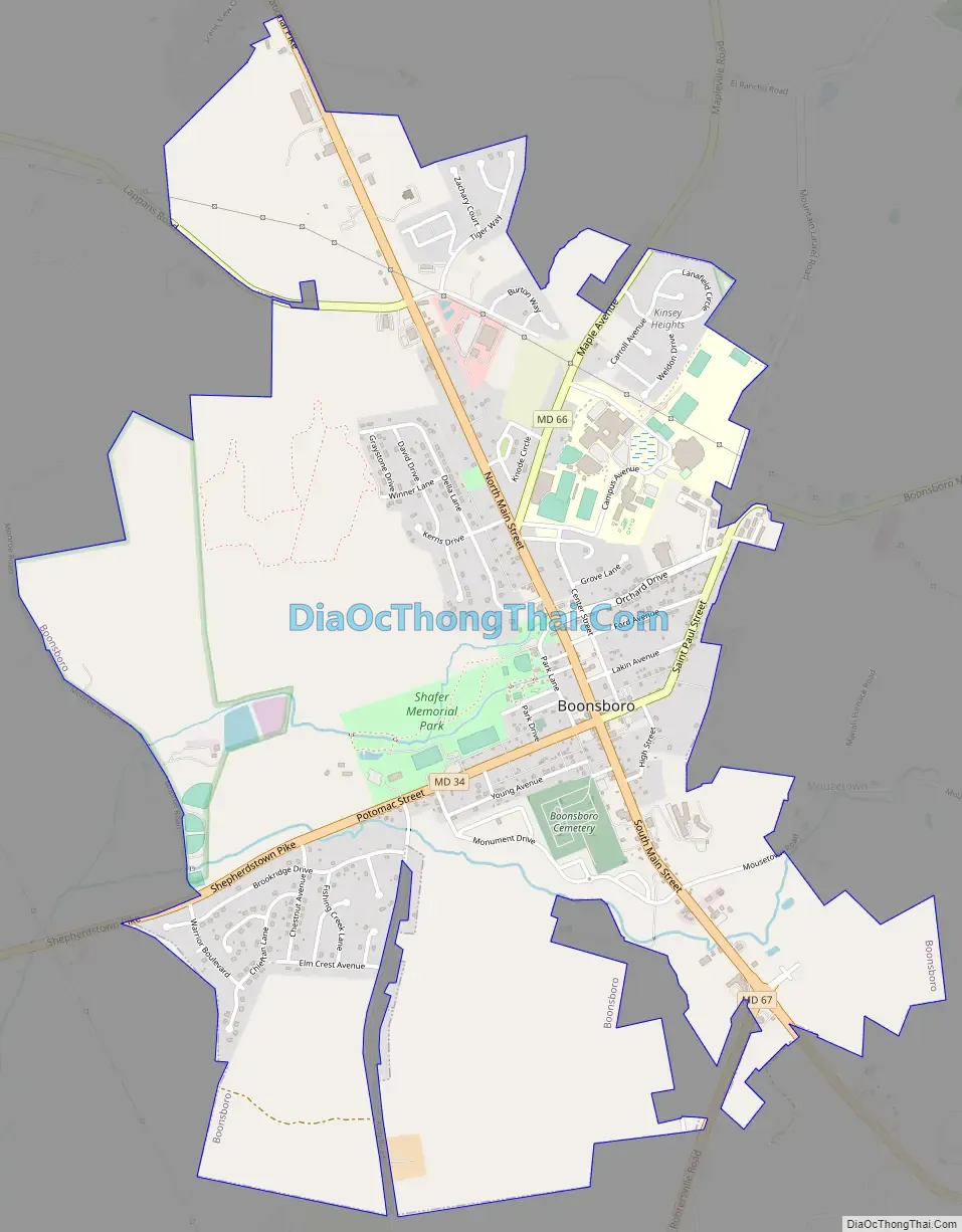
Boonsboro Road Map
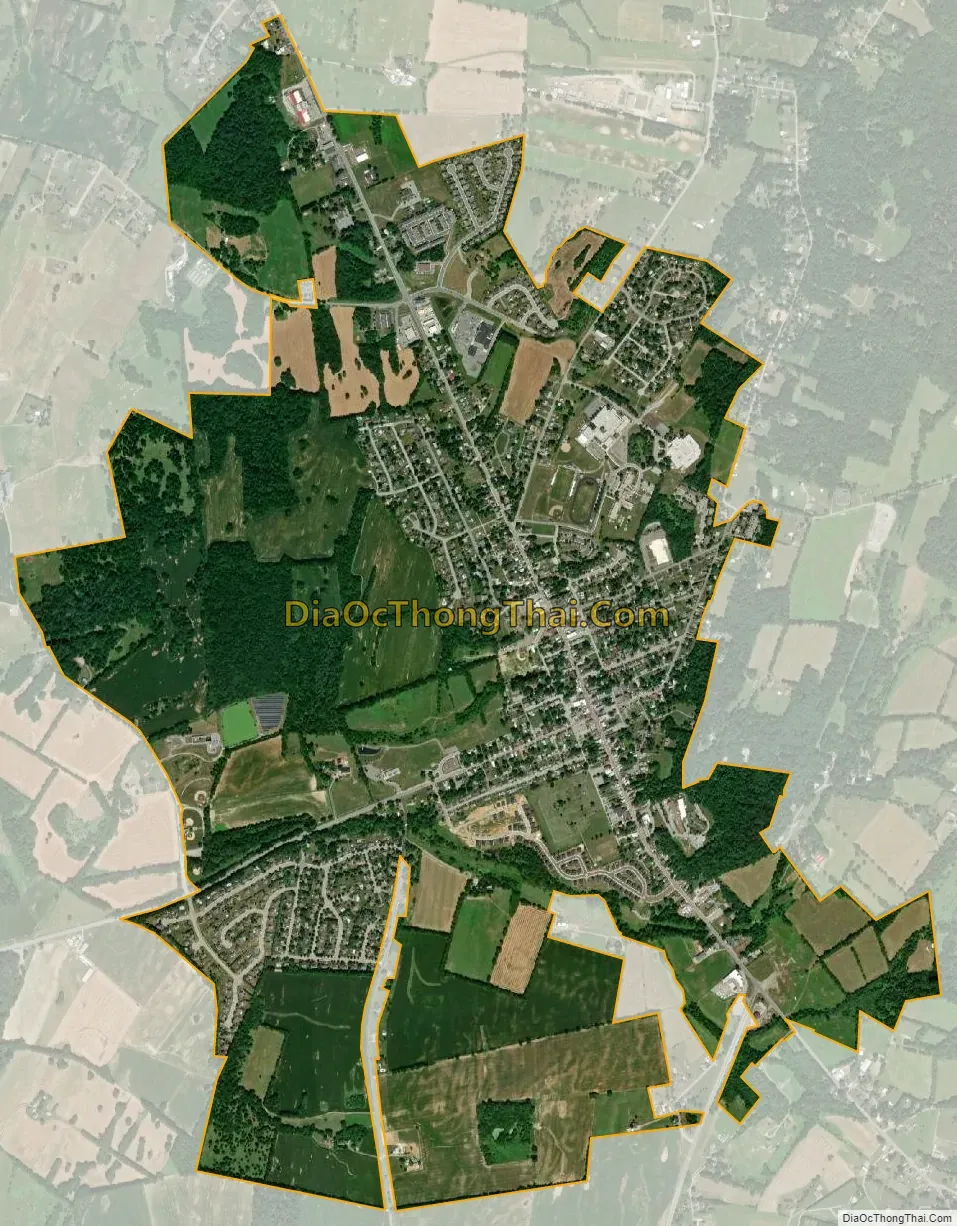
Boonsboro city Satellite Map
Geography
Boonsboro is located at 39°30′30″N 77°39′14″W / 39.50833°N 77.65389°W / 39.50833; -77.65389.
According to the United States Census Bureau, the town has a total area of 2.91 square miles (7.54 km), of which 2.90 square miles (7.51 km) is land and 0.01 square miles (0.03 km) is water.
Boonsboro is located just 1 mile west of the Appalachian Trail and is a popular spot for Hikers.
Boonsboro is the starting point for the JFK 50 mile race held every year in November.
See also
Map of Maryland State and its subdivision: Map of other states:- Alabama
- Alaska
- Arizona
- Arkansas
- California
- Colorado
- Connecticut
- Delaware
- District of Columbia
- Florida
- Georgia
- Hawaii
- Idaho
- Illinois
- Indiana
- Iowa
- Kansas
- Kentucky
- Louisiana
- Maine
- Maryland
- Massachusetts
- Michigan
- Minnesota
- Mississippi
- Missouri
- Montana
- Nebraska
- Nevada
- New Hampshire
- New Jersey
- New Mexico
- New York
- North Carolina
- North Dakota
- Ohio
- Oklahoma
- Oregon
- Pennsylvania
- Rhode Island
- South Carolina
- South Dakota
- Tennessee
- Texas
- Utah
- Vermont
- Virginia
- Washington
- West Virginia
- Wisconsin
- Wyoming


