Eakles Mills (also known as Eakles Mill) is an unincorporated community and census-designated place in Washington County, Maryland, United States. Its population was 26 as of the 2020 census. Snively Farm was listed on the National Register of Historic Places in 1979.
| Name: | Eakles Mill CDP |
|---|---|
| LSAD Code: | 57 |
| LSAD Description: | CDP (suffix) |
| State: | Maryland |
| County: | Washington County |
| Elevation: | 430 ft (130 m) |
| Total Area: | 0.09 sq mi (0.22 km²) |
| Land Area: | 0.09 sq mi (0.22 km²) |
| Water Area: | 0.00 sq mi (0.00 km²) |
| Total Population: | 26 |
| Population Density: | 305.88/sq mi (118.22/km²) |
| Area code: | 240 & 301 |
| FIPS code: | 2424250 |
| GNISfeature ID: | 590121 |
Online Interactive Map
Click on ![]() to view map in "full screen" mode.
to view map in "full screen" mode.
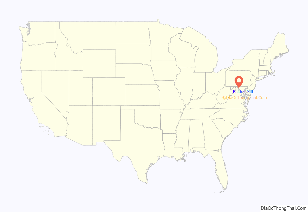
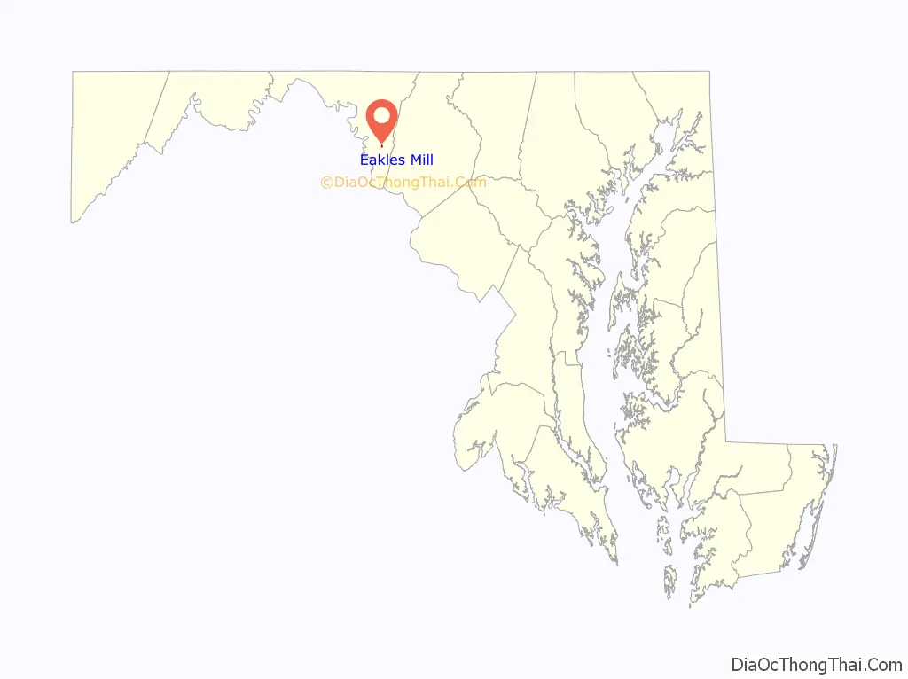
Eakles Mill location map. Where is Eakles Mill CDP?
History
Located in southeastern Washington County Maryland, Eakle’s Mill is a remnant of a typical 19th century rural farm community. Originally surrounded by farms and orchards, which provided abundant jobs during the manual labor era prior to mechanization, Eakle’s Mill as other similar sites, became a thriving village. Originating on the lands of Conrad Snivley and Andrew Putman who arrived in the area during the influx of (mostly) German immigrants in the 1760s, the community is on the road originally leading from Pleasant Valley and Crampton’s Gap. Putman purchased a property named “Partnership” from Josiah Chapline, who was disposing of the lands of his late father Moses Chapline who was the original settler in the 1740s. Putman added to his lands, which after his death were bought by son in-law Christian Wyandt. The village gained prominence in the 1870s with the construction of the Hagerstown branch of the B&O Railroad. Jeremiah Snyder founded a Sunday school in the schoolhouse in 1877, which spawned the Eakle’s Mill United Brethren Church in 1887. Located some distance behind the (abandoned) church and not associated with it is the Keedy family graveyard. Several generations of this locally prominent family including patriarch Johann Heinrich Gueding are buried in the cemetery. Early AME Church circuit riding minister Thomas Henry used the Jacob Snivley farm at Eakle’s Mill as his base of operations for several years during the 1850s and speaks highly of Mr. & Mrs Snivley’s hospitality towards him. The United Brethren in Christ, of which the Snivley’s were members, was the overwhelmingly dominant religion locally. A sect that was philosophically opposed to slavery and so, is thought to be a contributing factor enabling the sizable free African American population living in the surrounding area decades prior to the civil war. Once home to a mill, store, school and church, no public entities remain in the village. The railroad ceased operation in the 1970s.
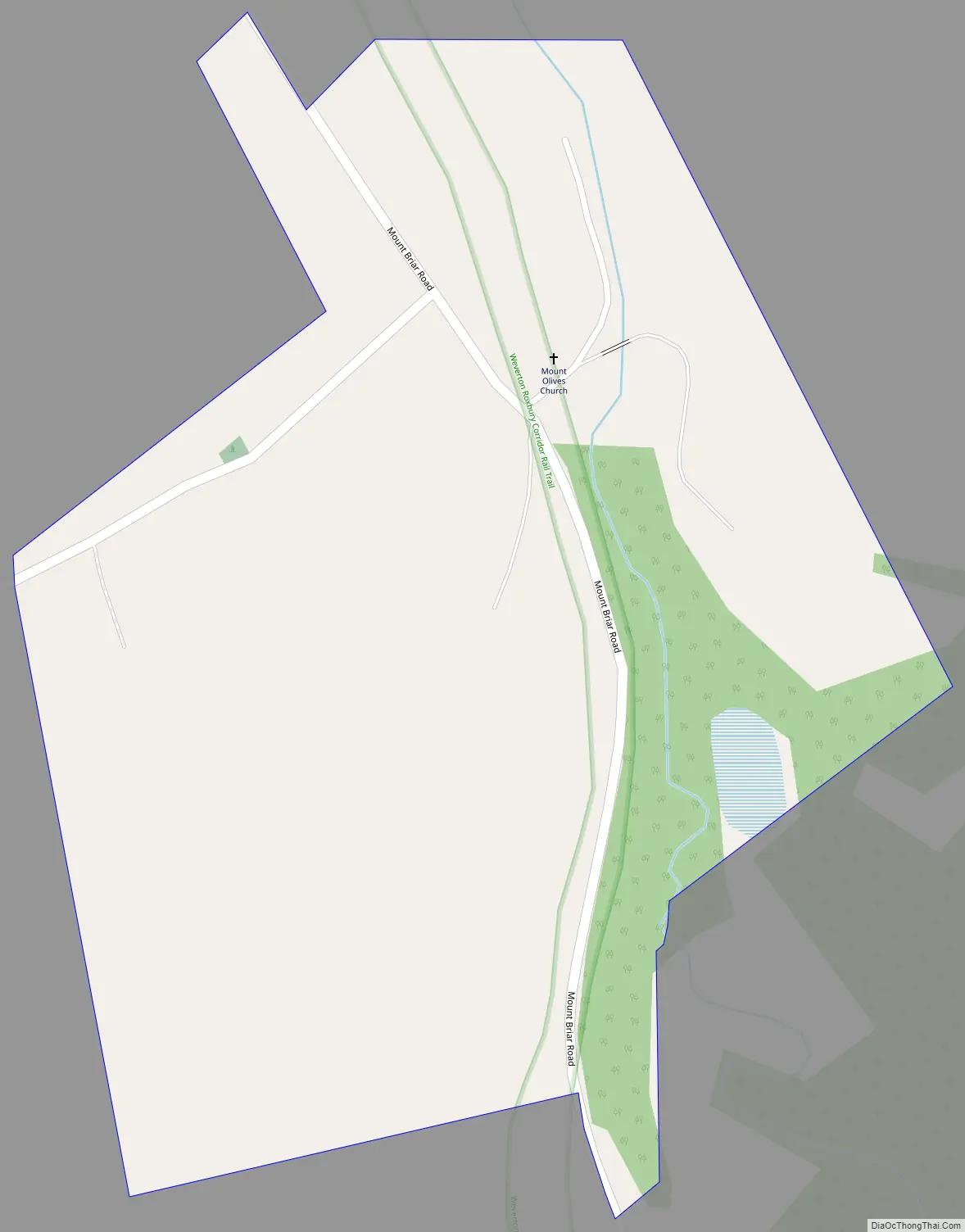
Eakles Mill Road Map
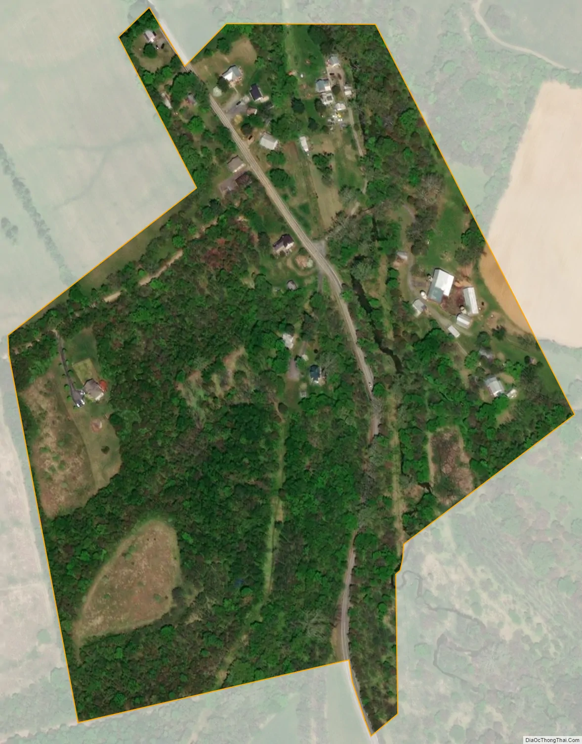
Eakles Mill city Satellite Map
Geography
According to the U.S. Census Bureau, the community has an area of 0.085 square miles (0.22 km), all land.
See also
Map of Maryland State and its subdivision: Map of other states:- Alabama
- Alaska
- Arizona
- Arkansas
- California
- Colorado
- Connecticut
- Delaware
- District of Columbia
- Florida
- Georgia
- Hawaii
- Idaho
- Illinois
- Indiana
- Iowa
- Kansas
- Kentucky
- Louisiana
- Maine
- Maryland
- Massachusetts
- Michigan
- Minnesota
- Mississippi
- Missouri
- Montana
- Nebraska
- Nevada
- New Hampshire
- New Jersey
- New Mexico
- New York
- North Carolina
- North Dakota
- Ohio
- Oklahoma
- Oregon
- Pennsylvania
- Rhode Island
- South Carolina
- South Dakota
- Tennessee
- Texas
- Utah
- Vermont
- Virginia
- Washington
- West Virginia
- Wisconsin
- Wyoming


