Fort Ritchie is a census-designated place (CDP) in Washington County, Maryland, United States, just south of the Pennsylvania state line. The population was 276 at the 2000 census. Fort Ritchie is a former U.S. military base that closed in September 1998, pursuant to the 1995 Base Realignment and Closure Commission. Blue Ridge Summit, Pennsylvania is immediately to the north.
| Name: | Fort Ritchie CDP |
|---|---|
| LSAD Code: | 57 |
| LSAD Description: | CDP (suffix) |
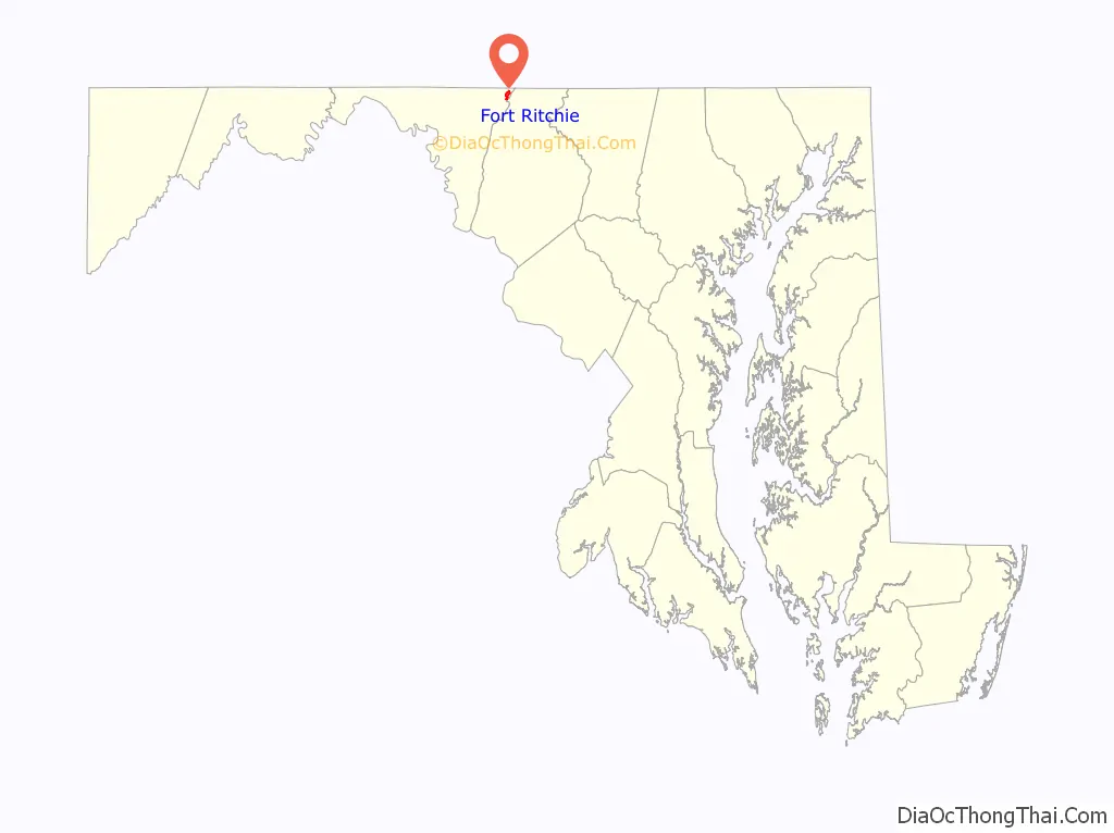
| State: | Maryland |
| County: | Washington County |
| Total Area: | 1.01 sq mi (2.61 km²) |
| Land Area: | 0.97 sq mi (2.52 km²) |
| Water Area: | 0.03 sq mi (0.09 km²) |
| Total Population: | 12 |
| Population Density: | 12.32/sq mi (4.76/km²) |
| ZIP code: | 21719 |
| Area code: | 301, 240 |
| FIPS code: | 2429450 |
Online Interactive Map
Click on ![]() to view map in "full screen" mode.
to view map in "full screen" mode.
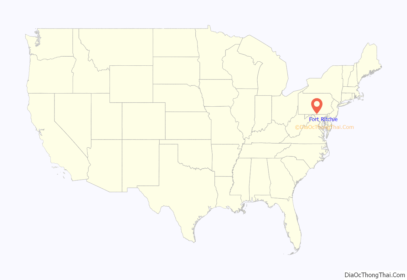
Fort Ritchie location map. Where is Fort Ritchie CDP?
History
Fort Ritchie was originally established as a training site for the Maryland National Guard. It was acquired as a US Army installation during World War II. During the war it was used as a training site for interrogators and psychological warfare experts, known as the Ritchie Boys. After the war, it was used as a communications center by the Army supporting the Military District of Washington and by the Air Force in support of the nearby Raven Rock Mountain Complex Alternate National Military Command Center (ANMCC). The post was closed in September 1998.
Since then there has been no comprehensive redevelopment plan for the facility. The last residents of former military housing on the site were evicted in June 2017. As of April 2021, the Washington County Board of Commissioners negotiated a sale to private investor John Krumpotich. As of July, 2021, Krumpotich is actively working on the rehabilitation of the existing buildings on the former post, and have found great success in restoring former military housing.
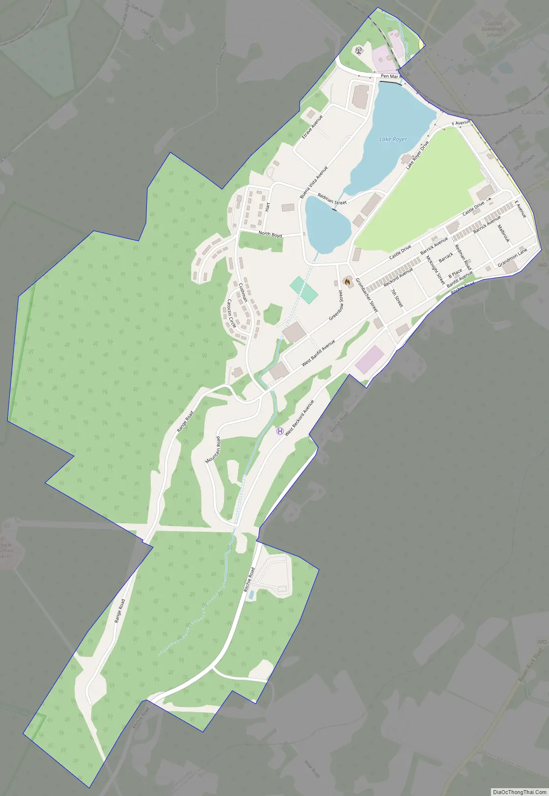
Fort Ritchie Road Map
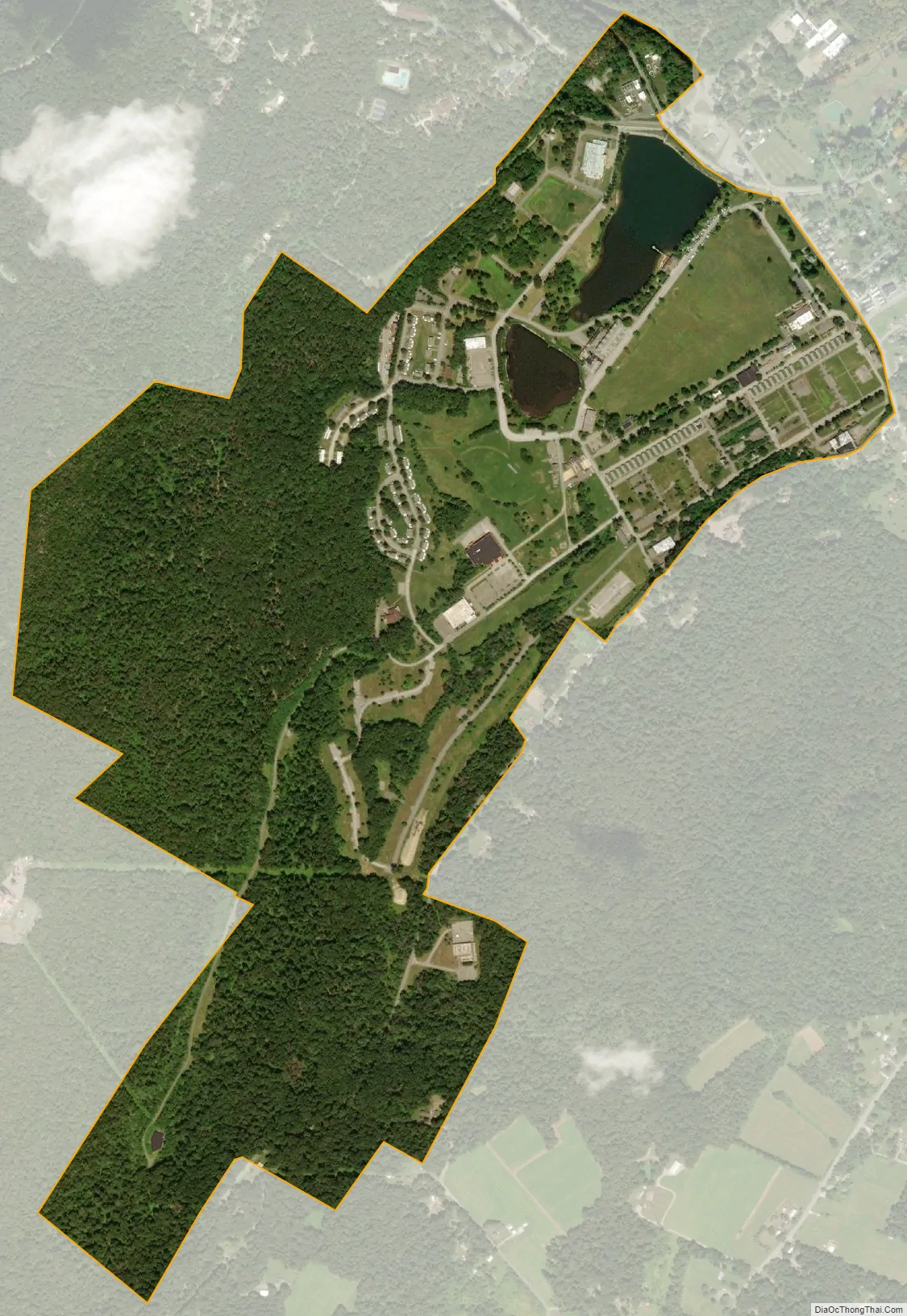
Fort Ritchie city Satellite Map
Geography
Fort Ritchie is located at 39°42′16″N 77°29′47″W / 39.70444°N 77.49639°W / 39.70444; -77.49639 (39.704396, −77.496291).
According to the United States Census Bureau, the CDP has a total area of 1.0 square mile (2.6 km), of which 1.0 square mile (2.6 km) is land and 0.04 square miles (0.10 km) (3.00%) is water.
The geography of Ritchie, and more broadly Cascade, Maryland played an extensive role in the settlement of the area. The elevation of nearly 1,400ft in a “high valley” surrounded by elevations surpassing 2,000ft at Fort Ritchie allowed for the Buena Vista Ice Company to successfully create and sell naturally cut ice to larger cities such as Baltimore and Washington, D.C. in the late 1800s until 1903. Buena Vista was the southernmost ice company in the United States. It was the original infrastructure of Buena Vista which ultimately influenced the Maryland National Guard to approve the site for its use.
Many bordering communities, such as Smithsburg, MD and Waynesboro, PA only boast elevations between 700-800 ft in juxtaposition of Quirauk Mountain where its highest elevation caps a 2,145ft and is the highest point of South Mountain. As a result of this extreme elevation, Cascade Elementary students have their own inclement weather zone which allows for either a delay, early dismissal, or day off of school depending upon the severity of winter weather whereas other Washington County Public School students may not have delays or cancellations. It is not uncommon for the Cascade area and Fort Ritchie to receive twice as much snow as other nearby communities. It is also notorious for ice storms which make travel exceedingly dangerous during winter storms.
See also
Map of Maryland State and its subdivision: Map of other states:- Alabama
- Alaska
- Arizona
- Arkansas
- California
- Colorado
- Connecticut
- Delaware
- District of Columbia
- Florida
- Georgia
- Hawaii
- Idaho
- Illinois
- Indiana
- Iowa
- Kansas
- Kentucky
- Louisiana
- Maine
- Maryland
- Massachusetts
- Michigan
- Minnesota
- Mississippi
- Missouri
- Montana
- Nebraska
- Nevada
- New Hampshire
- New Jersey
- New Mexico
- New York
- North Carolina
- North Dakota
- Ohio
- Oklahoma
- Oregon
- Pennsylvania
- Rhode Island
- South Carolina
- South Dakota
- Tennessee
- Texas
- Utah
- Vermont
- Virginia
- Washington
- West Virginia
- Wisconsin
- Wyoming


