Hebron is a town in Wicomico County, Maryland, United States. The population was 1,084 at the 2010 census. It is included in the Salisbury, Maryland-Delaware Metropolitan Statistical Area. It is the hometown of pro-wrestler Mark Hildreth and politician Scott Taylor.
| Name: | Hebron town |
|---|---|
| LSAD Code: | 43 |
| LSAD Description: | town (suffix) |
| State: | Maryland |
| County: | Wicomico County |
| Incorporated: | 1931 |
| Elevation: | 39 ft (12 m) |
| Total Area: | 1.31 sq mi (3.40 km²) |
| Land Area: | 1.31 sq mi (3.40 km²) |
| Water Area: | 0.00 sq mi (0.00 km²) |
| Total Population: | 1,113 |
| Population Density: | 848.32/sq mi (327.43/km²) |
| ZIP code: | 21830 |
| Area code: | 410, 443 |
| FIPS code: | 2437875 |
| GNISfeature ID: | 0584921 |
| Website: | www.hebronmd.com |
Online Interactive Map
Click on ![]() to view map in "full screen" mode.
to view map in "full screen" mode.
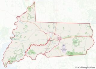
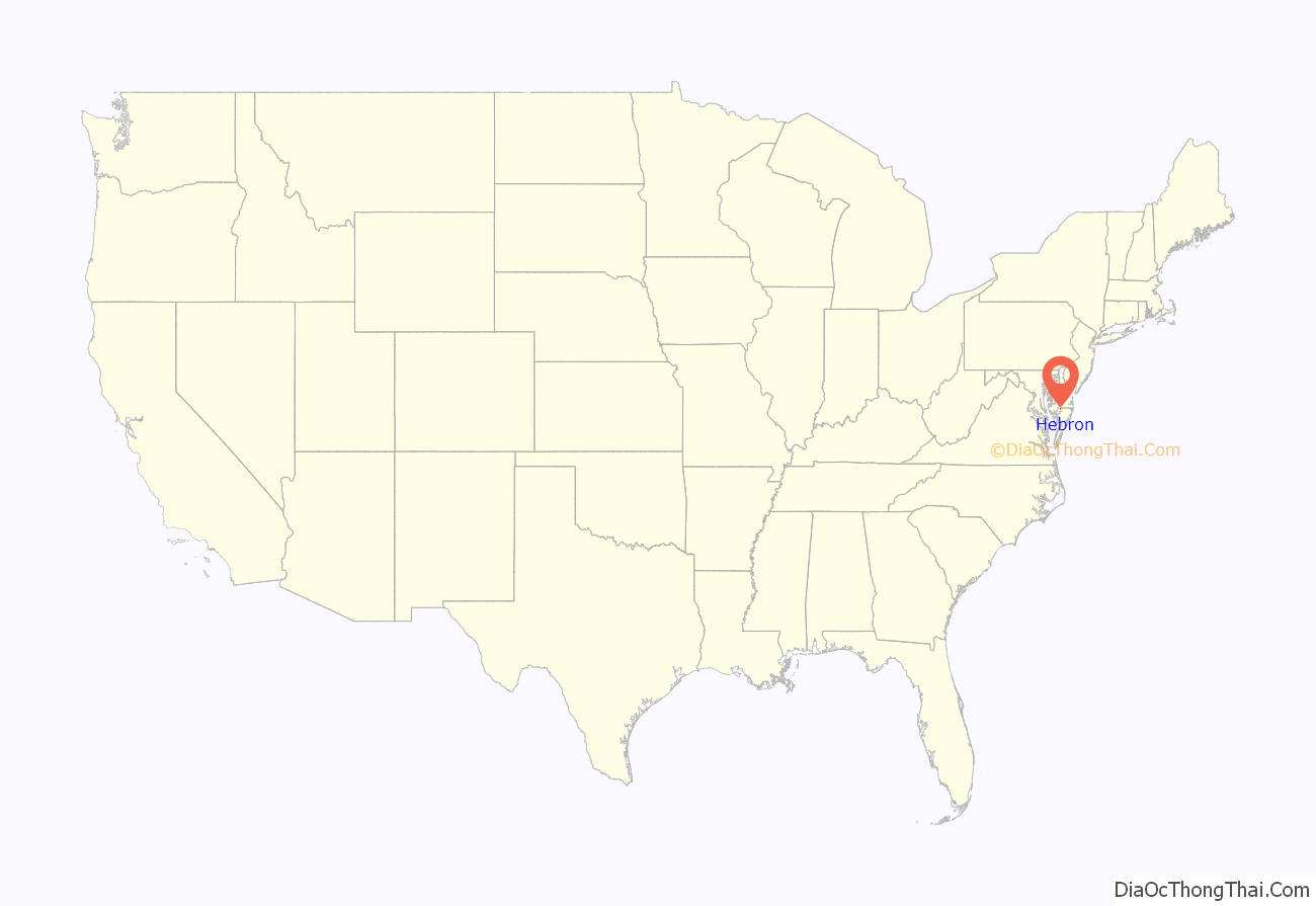
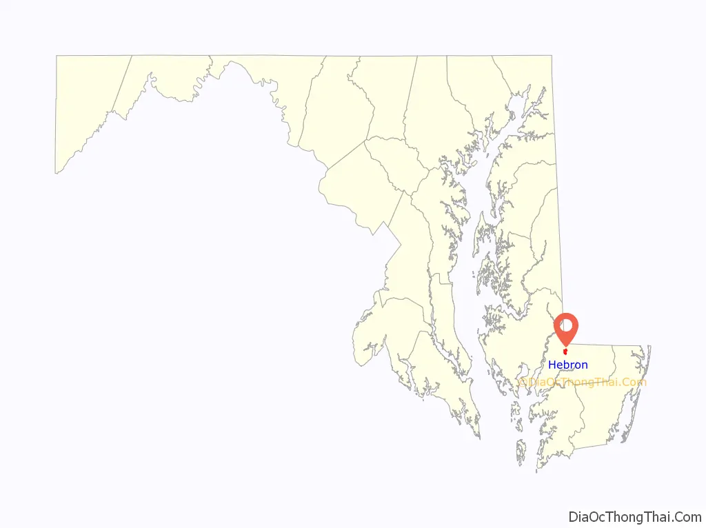
Hebron location map. Where is Hebron town?
History
The Maple Leaf Farm Potato House, Spring Hill Church, St. Giles, and Western Fields are listed on the National Register of Historic Places.
Hebron Train Depot In 1890, the Baltimore, Chesapeake and Atlantic Railroad was extended westward from Salisbury. About six miles from that city, the line crossed a country road where there was a store and a Colonial dwelling. All around were farms and woodland. Here the builders of the railroad designated a shipping point and named it Hebron (The community was named for the biblical city). Five years later, a lumber manufacturing plant was located there, and a hamlet began to develop. While earlier towns sprang up on rivers, Hebron came about because of the railroad and to the immense effect that the railroad had on this area was added the automobile and improved farm machinery. By the 1920s Hebron was a hub for farming as well as manufacturing with major markets being easily and quickly accessible. In 1927 there were five shirt factories, a flour mill, a canning operation, a lumber mill, and a new high school under construction. There were large poultry and dairy farms joining the profitable farming of peaches, apples, strawberries, sweet potatoes, cucumbers, tomatoes, cantaloupes, and watermelons. The most prominent of these were the farms of B. Frank Adkins known as Neighbor’s Wonder Farm, renowned for its herd of Guernsey cattle, the Oakdale Poultry Farm owned by J.T. Insley, and the farms of James A. Phillips and James Gordy. Notable citizens responsible for the manufacturing aspect of the town were Walter B. Miller and G.A. Bounds, the latter which owned both a lumber mill and canning plant and whose house still stands on Main Street today.
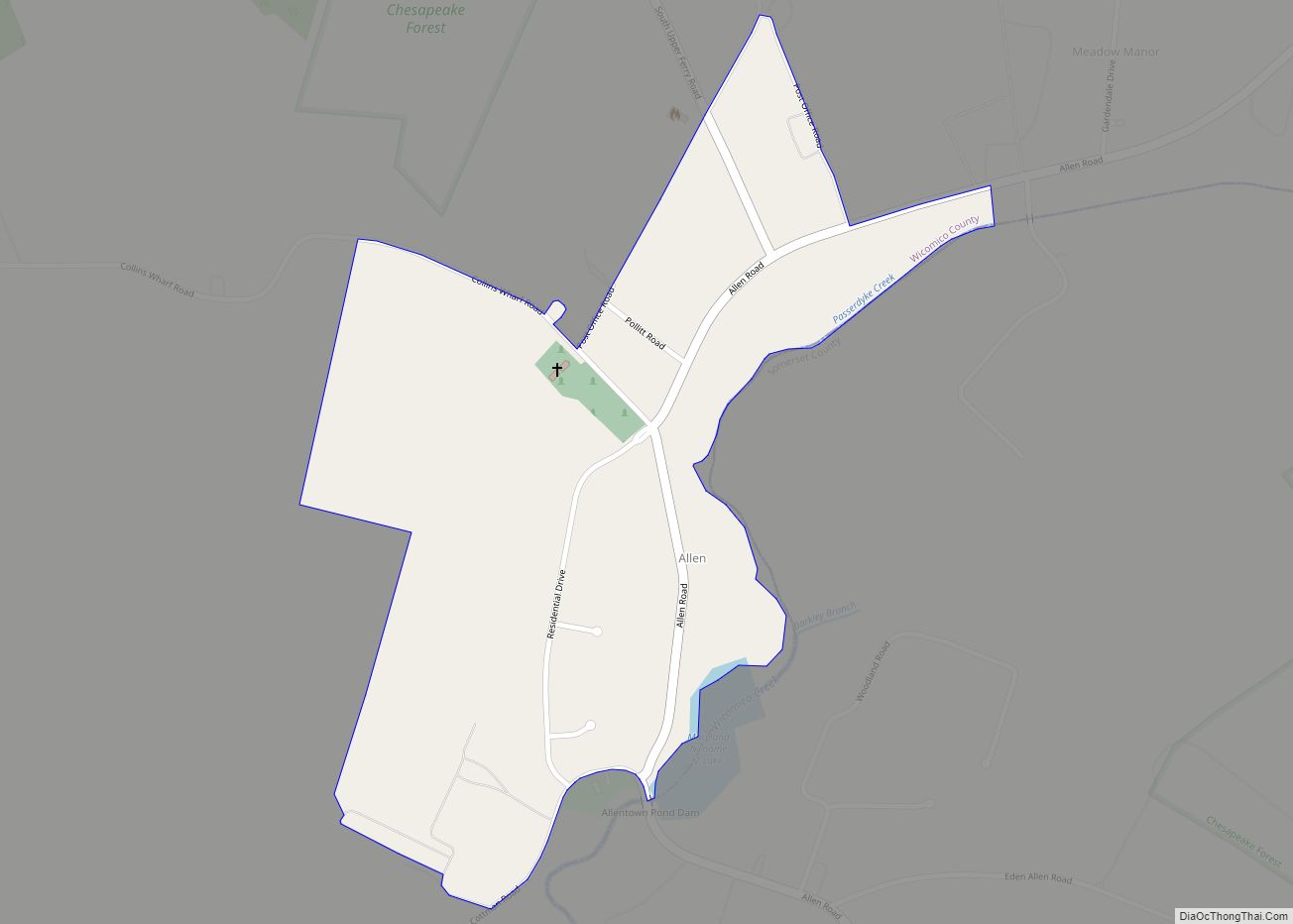
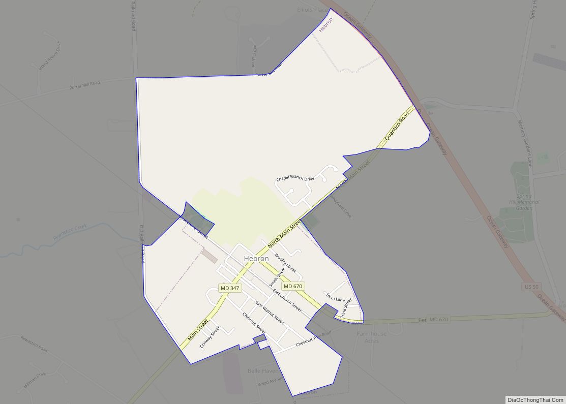
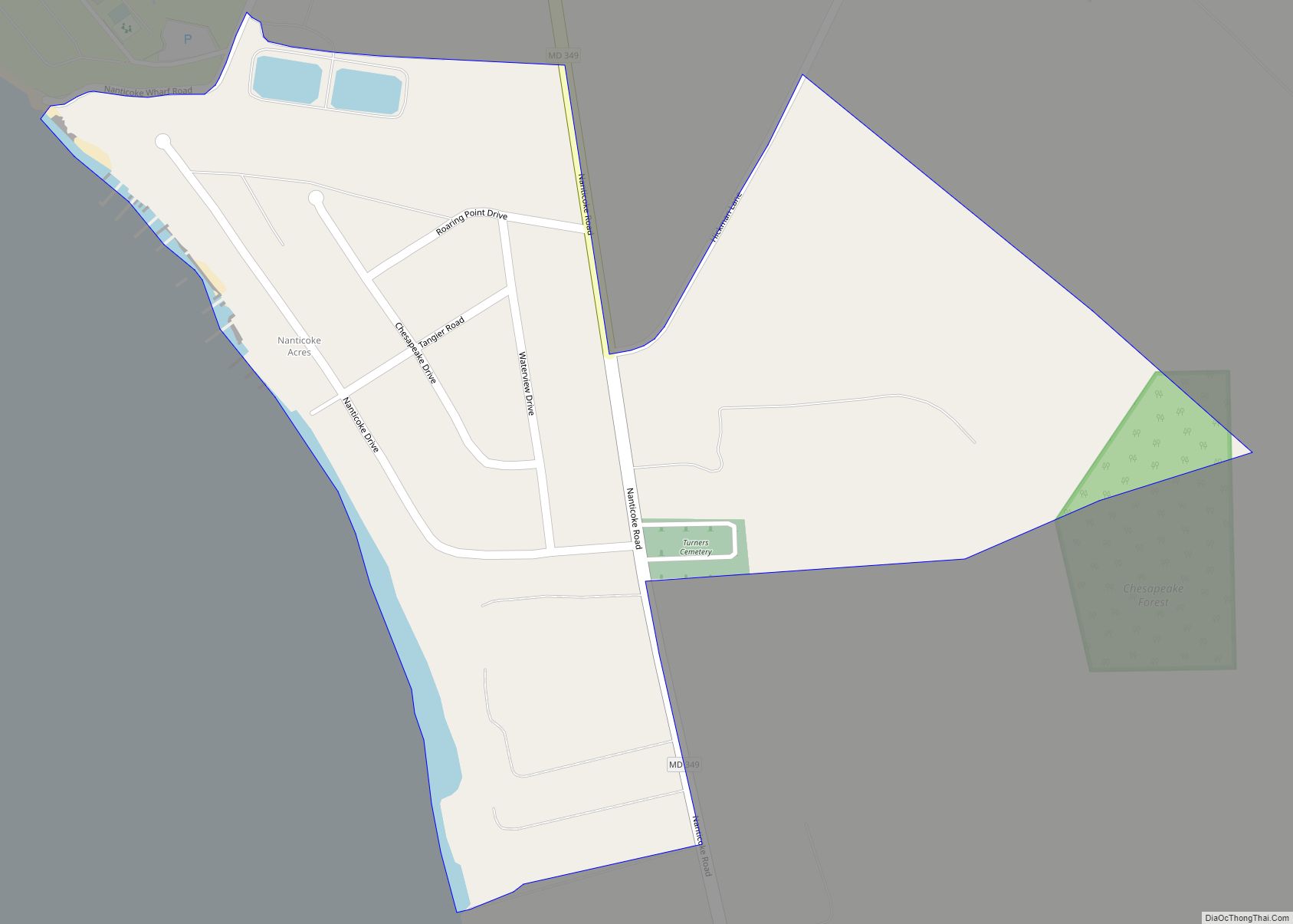
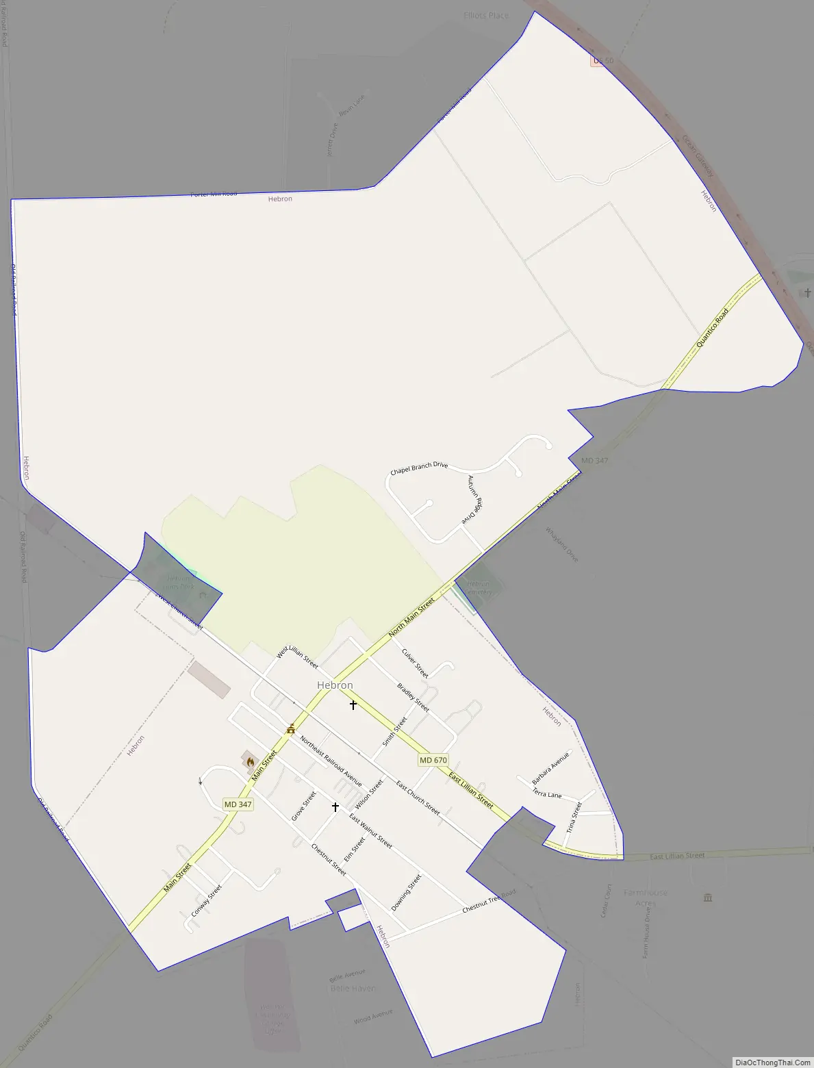
Hebron Road Map
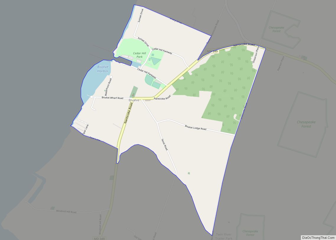
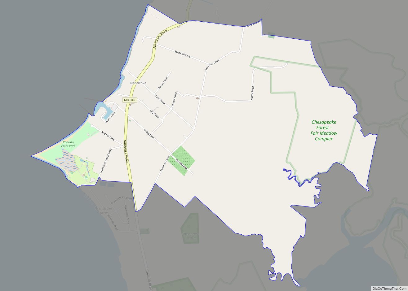
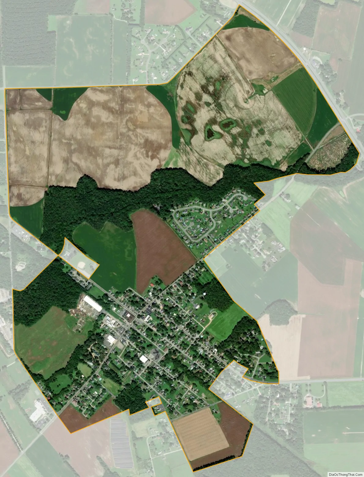
Hebron city Satellite Map
Geography
Hebron is located at 38°25′5″N 75°41′16″W / 38.41806°N 75.68778°W / 38.41806; -75.68778 (38.418091, -75.687669). According to the United States Census Bureau, the town has a total area of 1.28 square miles (3.32 km), all land.
See also
Map of Maryland State and its subdivision: Map of other states:- Alabama
- Alaska
- Arizona
- Arkansas
- California
- Colorado
- Connecticut
- Delaware
- District of Columbia
- Florida
- Georgia
- Hawaii
- Idaho
- Illinois
- Indiana
- Iowa
- Kansas
- Kentucky
- Louisiana
- Maine
- Maryland
- Massachusetts
- Michigan
- Minnesota
- Mississippi
- Missouri
- Montana
- Nebraska
- Nevada
- New Hampshire
- New Jersey
- New Mexico
- New York
- North Carolina
- North Dakota
- Ohio
- Oklahoma
- Oregon
- Pennsylvania
- Rhode Island
- South Carolina
- South Dakota
- Tennessee
- Texas
- Utah
- Vermont
- Virginia
- Washington
- West Virginia
- Wisconsin
- Wyoming