Highfield-Cascade is a census-designated place (CDP) in Washington County, Maryland, United States. The CDP encompasses two closely-spaced unincorporated communities, Highfield and Cascade, which are usually referred to separately. The population of the combined CDP was 1,141 at the 2000 census.
| Name: | Highfield-Cascade CDP |
|---|---|
| LSAD Code: | 57 |
| LSAD Description: | CDP (suffix) |
| State: | Maryland |
| County: | Washington County |
| Elevation: | 1,394 ft (425 m) |
| Total Area: | 1.73 sq mi (4.49 km²) |
| Land Area: | 1.73 sq mi (4.49 km²) |
| Water Area: | 0.00 sq mi (0.00 km²) |
| Total Population: | 1,082 |
| Population Density: | 624.71/sq mi (241.15/km²) |
| ZIP code: | 21719 |
| Area code: | 240 and 301 |
| FIPS code: | 2438437 |
| GNISfeature ID: | 1852592 |
Online Interactive Map
Click on ![]() to view map in "full screen" mode.
to view map in "full screen" mode.
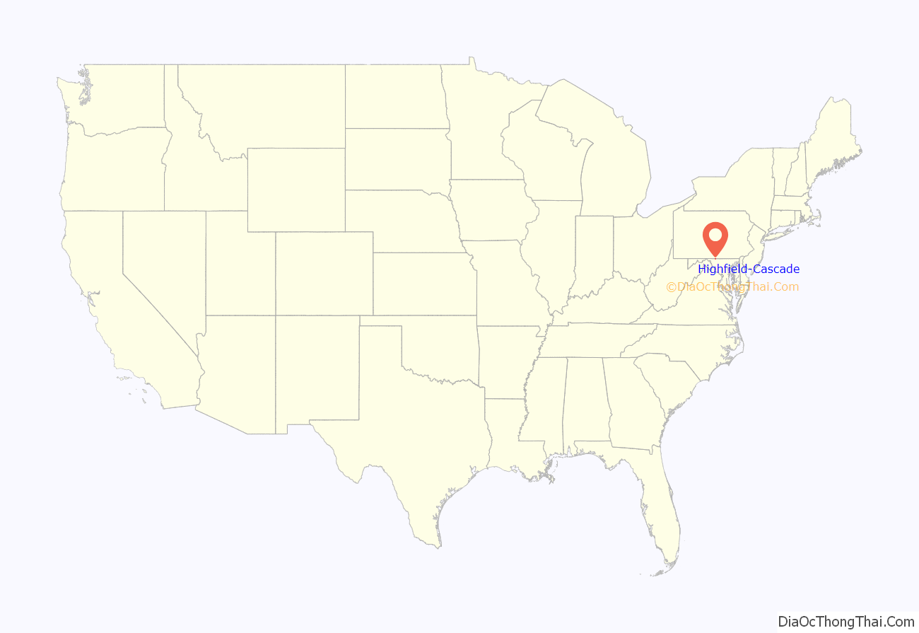
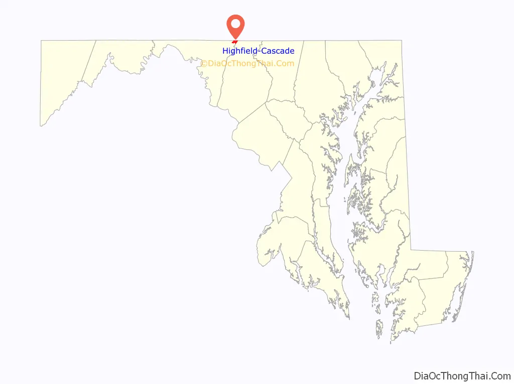
Highfield-Cascade location map. Where is Highfield-Cascade CDP?
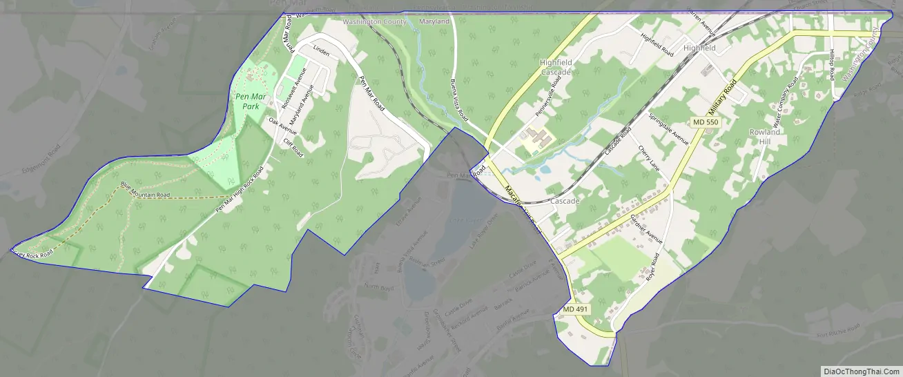
Highfield-Cascade Road Map
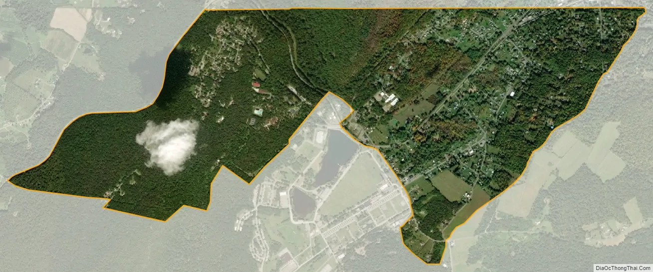
Highfield-Cascade city Satellite Map
Geography
Highfield-Cascade is located at 39°43′0″N 77°29′27″W / 39.71667°N 77.49083°W / 39.71667; -77.49083 (39.716692, −77.490887).
According to the United States Census Bureau, the CDP has a total area of 1.7 square miles (4.4 km), all land.
See also
Map of Maryland State and its subdivision: Map of other states:- Alabama
- Alaska
- Arizona
- Arkansas
- California
- Colorado
- Connecticut
- Delaware
- District of Columbia
- Florida
- Georgia
- Hawaii
- Idaho
- Illinois
- Indiana
- Iowa
- Kansas
- Kentucky
- Louisiana
- Maine
- Maryland
- Massachusetts
- Michigan
- Minnesota
- Mississippi
- Missouri
- Montana
- Nebraska
- Nevada
- New Hampshire
- New Jersey
- New Mexico
- New York
- North Carolina
- North Dakota
- Ohio
- Oklahoma
- Oregon
- Pennsylvania
- Rhode Island
- South Carolina
- South Dakota
- Tennessee
- Texas
- Utah
- Vermont
- Virginia
- Washington
- West Virginia
- Wisconsin
- Wyoming


