Kemps Mill is an unincorporated community and census-designated place in Washington County, Maryland, United States. Its population was 126 as of the 2010 census. It is named after a 1739 built mill structure which still stands in 2020 and has operated under a variety of names through almost three centuries. The mill dam creates a slackwater which is popular for fishing and other recreational water activities. The mill is several miles above the mouth of the Conococheague Creek which flows to the Potomac River at a location where Native American trading posts existed for many centuries prior to European settlement in the area.
| Name: | Kemps Mill CDP |
|---|---|
| LSAD Code: | 57 |
| LSAD Description: | CDP (suffix) |
| State: | Maryland |
| County: | Washington County |
| Elevation: | 367 ft (112 m) |
| Total Area: | 0.26 sq mi (0.67 km²) |
| Land Area: | 0.26 sq mi (0.67 km²) |
| Water Area: | 0.00 sq mi (0.00 km²) |
| Total Population: | 117 |
| Population Density: | 451.74/sq mi (174.68/km²) |
| Area code: | 240 & 301 |
| FIPS code: | 2443280 |
| GNISfeature ID: | 2583644 |
Online Interactive Map
Click on ![]() to view map in "full screen" mode.
to view map in "full screen" mode.
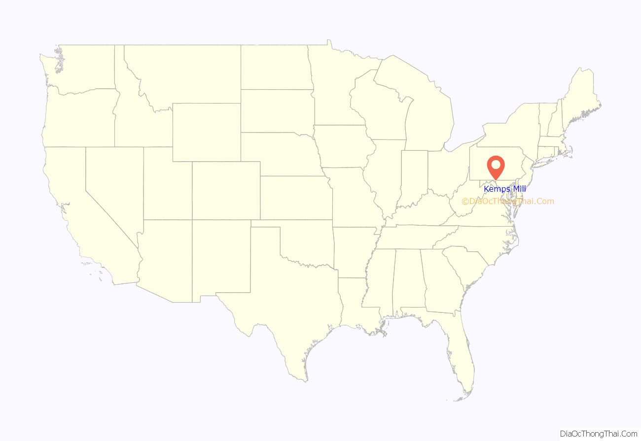
Kemps Mill location map. Where is Kemps Mill CDP?
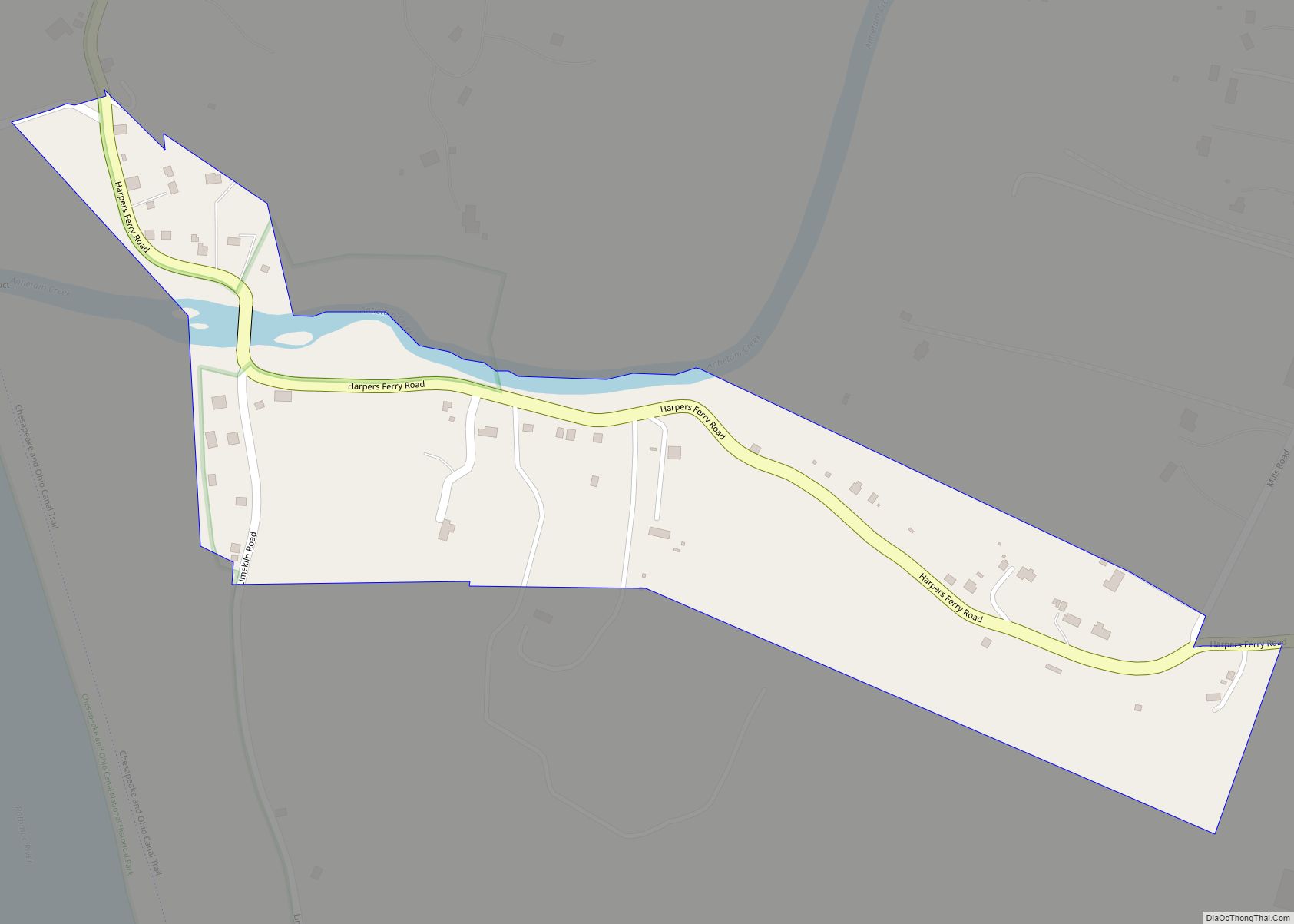
Kemps Mill Road Map
Kemps Mill city Satellite Map
Geography
According to the U.S. Census Bureau, the community has an area of 0.258 square miles (0.67 km), all land.
See also
Map of Maryland State and its subdivision: Map of other states:- Alabama
- Alaska
- Arizona
- Arkansas
- California
- Colorado
- Connecticut
- Delaware
- District of Columbia
- Florida
- Georgia
- Hawaii
- Idaho
- Illinois
- Indiana
- Iowa
- Kansas
- Kentucky
- Louisiana
- Maine
- Maryland
- Massachusetts
- Michigan
- Minnesota
- Mississippi
- Missouri
- Montana
- Nebraska
- Nevada
- New Hampshire
- New Jersey
- New Mexico
- New York
- North Carolina
- North Dakota
- Ohio
- Oklahoma
- Oregon
- Pennsylvania
- Rhode Island
- South Carolina
- South Dakota
- Tennessee
- Texas
- Utah
- Vermont
- Virginia
- Washington
- West Virginia
- Wisconsin
- Wyoming
