Leitersburg is a census-designated place (CDP) in Washington County, Maryland, United States. The population was 523 at the 2000 census.
| Name: | Leitersburg CDP |
|---|---|
| LSAD Code: | 57 |
| LSAD Description: | CDP (suffix) |
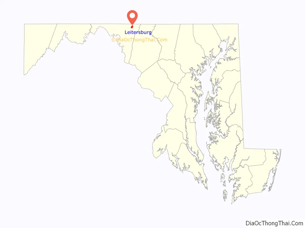
| State: | Maryland |
| County: | Washington County |
| Elevation: | 594 ft (181 m) |
| Total Area: | 1.75 sq mi (4.54 km²) |
| Land Area: | 1.75 sq mi (4.54 km²) |
| Water Area: | 0.00 sq mi (0.00 km²) |
| Total Population: | 569 |
| Population Density: | 324.77/sq mi (125.42/km²) |
| ZIP code: | 21742 |
| Area code: | 240 and 301 |
| FIPS code: | 2446400 |
| GNISfeature ID: | 0590653 |
Online Interactive Map
Click on ![]() to view map in "full screen" mode.
to view map in "full screen" mode.
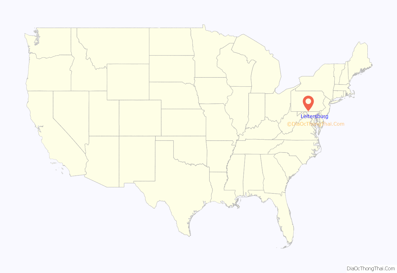
Leitersburg location map. Where is Leitersburg CDP?
History
Bell-Varner House, Huckleberry Hall, and Leitersburg Historic District are listed on the National Register of Historic Places.
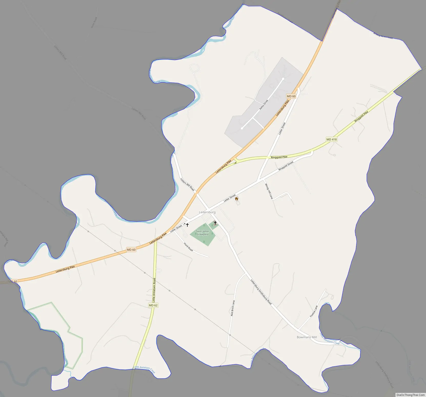
Leitersburg Road Map
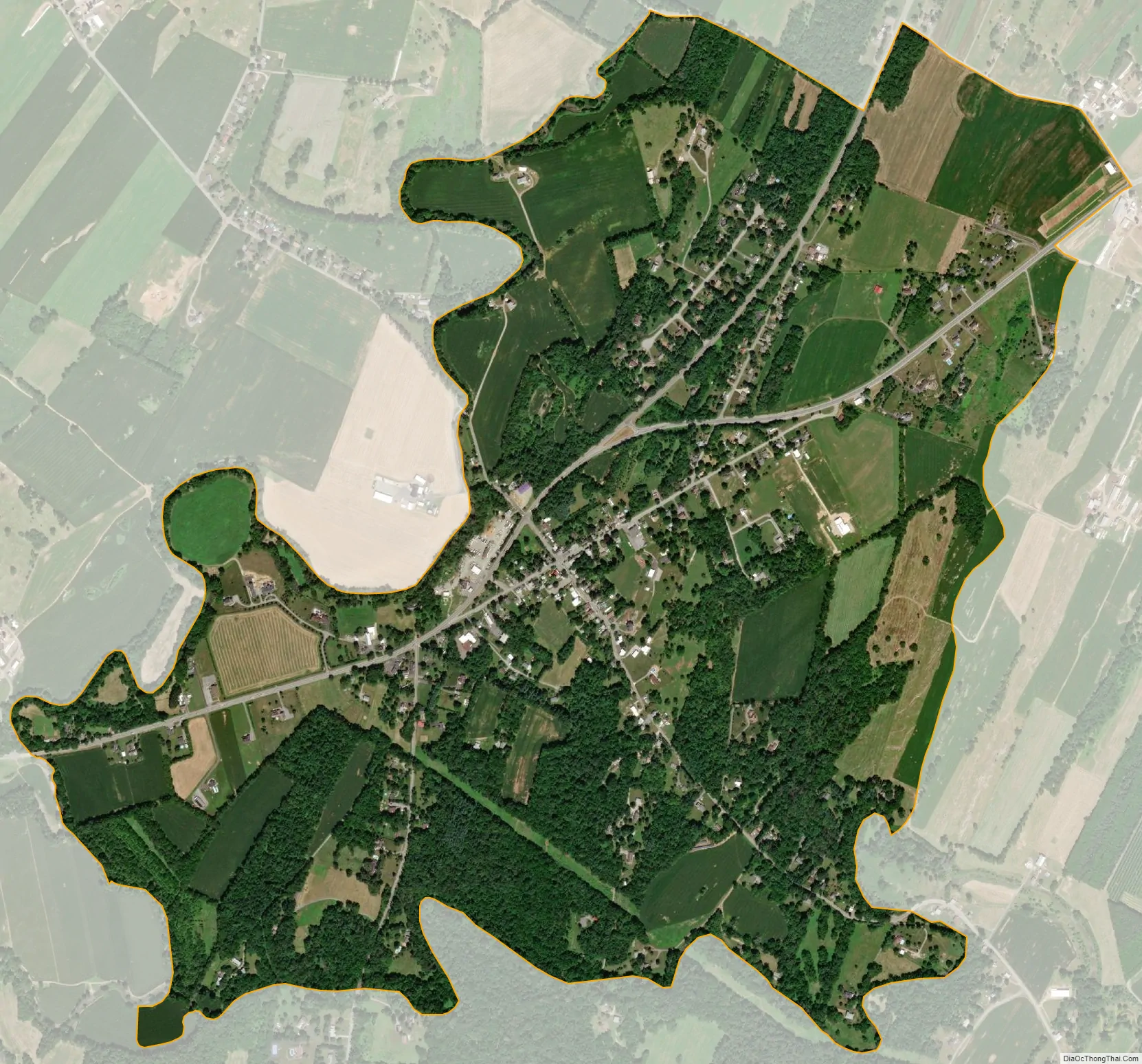
Leitersburg city Satellite Map
Geography
Leitersburg is located at 39°41′40″N 77°37′16″W / 39.69444°N 77.62111°W / 39.69444; -77.62111 (39.694309, −77.621063).
According to the United States Census Bureau, the CDP has a total area of 1.8 square miles (4.7 km), all land.
See also
Map of Maryland State and its subdivision: Map of other states:- Alabama
- Alaska
- Arizona
- Arkansas
- California
- Colorado
- Connecticut
- Delaware
- District of Columbia
- Florida
- Georgia
- Hawaii
- Idaho
- Illinois
- Indiana
- Iowa
- Kansas
- Kentucky
- Louisiana
- Maine
- Maryland
- Massachusetts
- Michigan
- Minnesota
- Mississippi
- Missouri
- Montana
- Nebraska
- Nevada
- New Hampshire
- New Jersey
- New Mexico
- New York
- North Carolina
- North Dakota
- Ohio
- Oklahoma
- Oregon
- Pennsylvania
- Rhode Island
- South Carolina
- South Dakota
- Tennessee
- Texas
- Utah
- Vermont
- Virginia
- Washington
- West Virginia
- Wisconsin
- Wyoming


