Little Orleans is an unincorporated community and census-designated place (CDP) in Allegany County, Maryland, United States. As of the 2010 census it had a population of 42.
Little Orleans is located on the Potomac River at the mouth of Fifteenmile Creek across from Orleans Cross Roads, West Virginia. Little Orleans was served by the Chesapeake & Ohio Canal, and by the Western Maryland Railway, both of which have been abandoned. “Bill’s Place”, a restaurant and store, is located adjacent to the canal. An annual event hosted by Ken Appel, “Apple’s East Coast Motorcycle Rally” (formerly East Coast Sturgis) attracts thousands of visitors every August to this otherwise sleepy little town.
| Name: | Little Orleans CDP |
|---|---|
| LSAD Code: | 57 |
| LSAD Description: | CDP (suffix) |
| State: | Maryland |
| County: | Allegany County |
| Elevation: | 494 ft (151 m) |
| Total Area: | 1.25 sq mi (3.23 km²) |
| Land Area: | 1.24 sq mi (3.22 km²) |
| Water Area: | 0.00 sq mi (0.01 km²) |
| Total Population: | 65 |
| Population Density: | 52.29/sq mi (20.20/km²) |
| ZIP code: | 21766 |
| Area code: | 301 |
| FIPS code: | 2447275 |
| GNISfeature ID: | 2583650 |
Online Interactive Map
Click on ![]() to view map in "full screen" mode.
to view map in "full screen" mode.
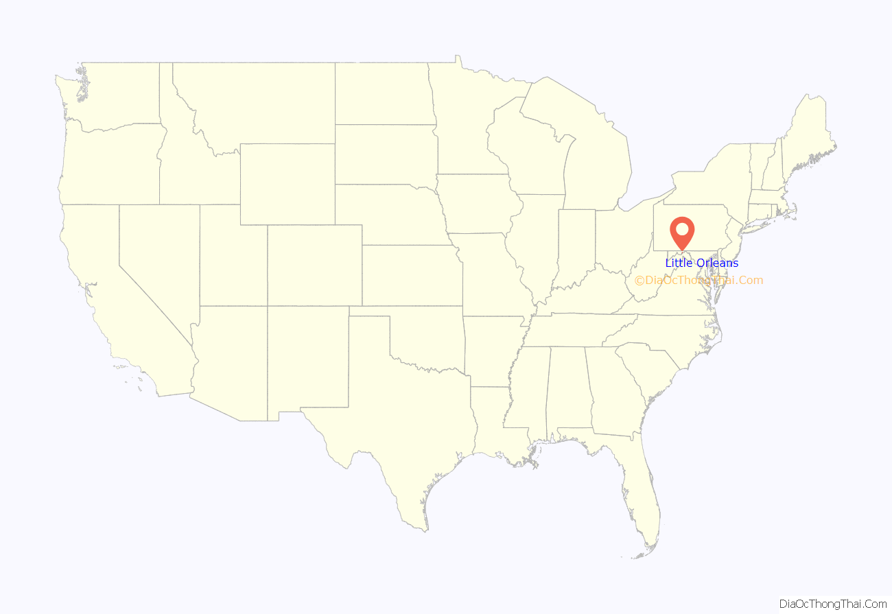
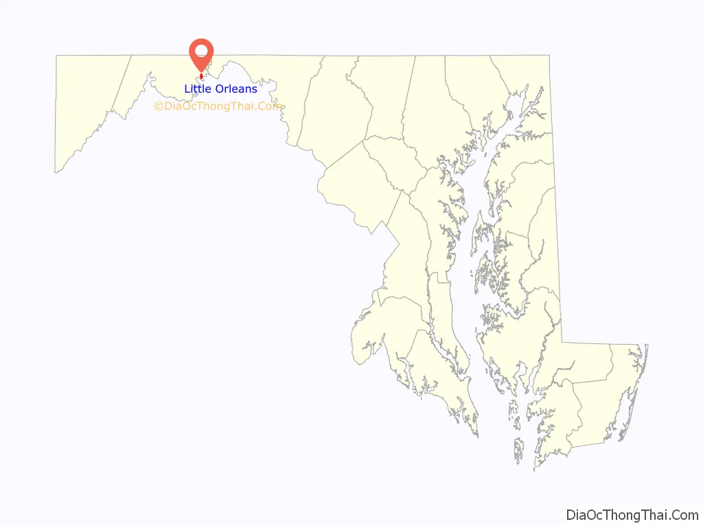
Little Orleans location map. Where is Little Orleans CDP?
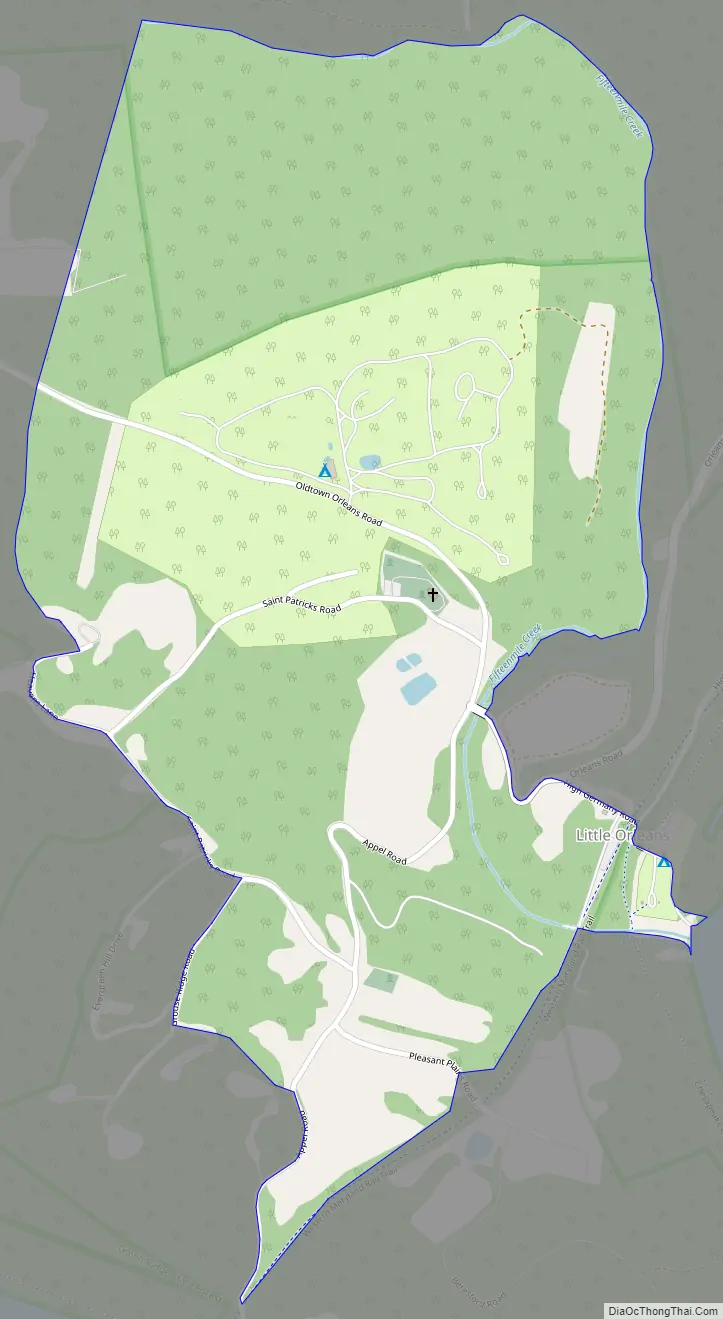
Little Orleans Road Map
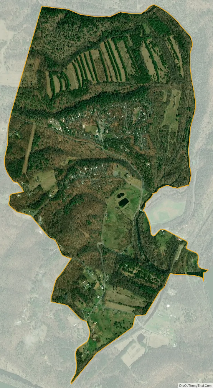
Little Orleans city Satellite Map
See also
Map of Maryland State and its subdivision: Map of other states:- Alabama
- Alaska
- Arizona
- Arkansas
- California
- Colorado
- Connecticut
- Delaware
- District of Columbia
- Florida
- Georgia
- Hawaii
- Idaho
- Illinois
- Indiana
- Iowa
- Kansas
- Kentucky
- Louisiana
- Maine
- Maryland
- Massachusetts
- Michigan
- Minnesota
- Mississippi
- Missouri
- Montana
- Nebraska
- Nevada
- New Hampshire
- New Jersey
- New Mexico
- New York
- North Carolina
- North Dakota
- Ohio
- Oklahoma
- Oregon
- Pennsylvania
- Rhode Island
- South Carolina
- South Dakota
- Tennessee
- Texas
- Utah
- Vermont
- Virginia
- Washington
- West Virginia
- Wisconsin
- Wyoming


