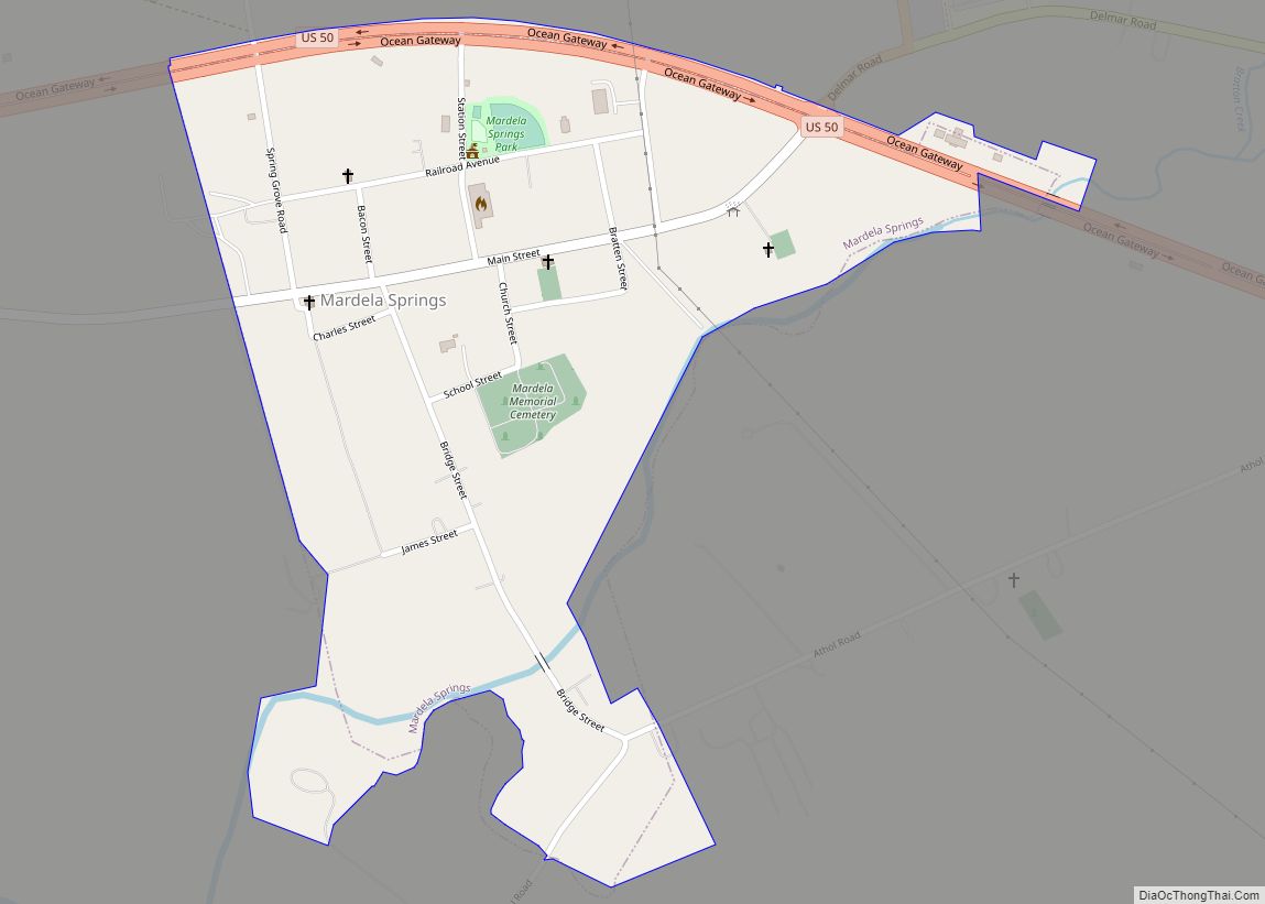
Mardela Springs is a town in Wicomico County, Maryland, United States. The population was 357 at the 2010 census. It is included in the Salisbury, Maryland-Delaware Metropolitan Statistical Area.
| Name: | Mardela Springs town |
|---|---|
| LSAD Code: | 43 |
| LSAD Description: | town (suffix) |
| State: | Maryland |
| County: | Wicomico County |
| Incorporated: | 1906 |
| Elevation: | 26 ft (8 m) |
| Total Area: | 0.41 sq mi (1.07 km²) |
| Land Area: | 0.41 sq mi (1.05 km²) |
| Water Area: | 0.01 sq mi (0.02 km²) |
| Total Population: | 357 |
| Population Density: | 879.31/sq mi (339.13/km²) |
| ZIP code: | 21837 |
| Area code: | 410, 443 |
| FIPS code: | 2450525 |
| GNISfeature ID: | 0590738 |
| Website: | mardelasprings.org |
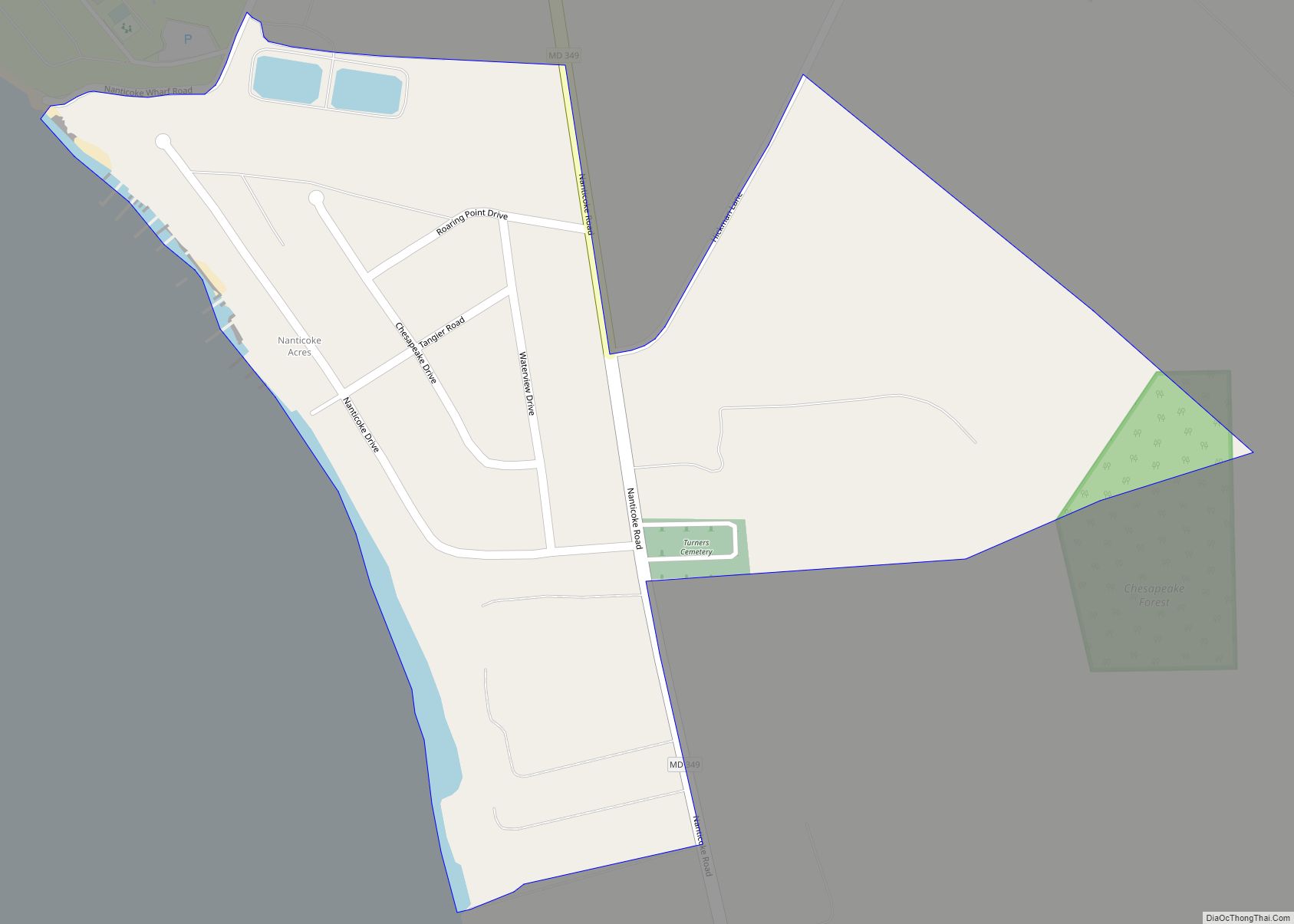
Online Interactive Map
Click on ![]() to view map in "full screen" mode.
to view map in "full screen" mode.
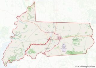
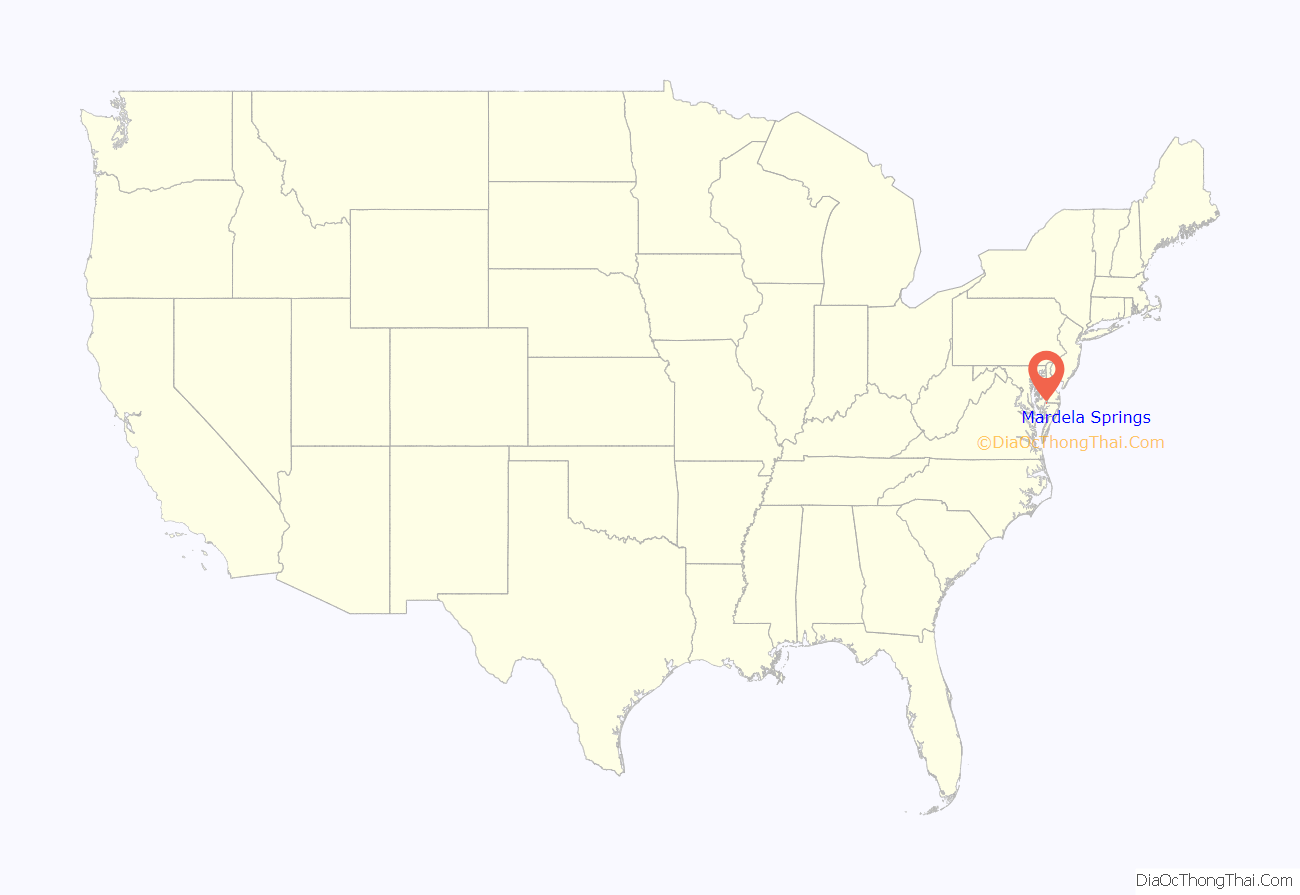
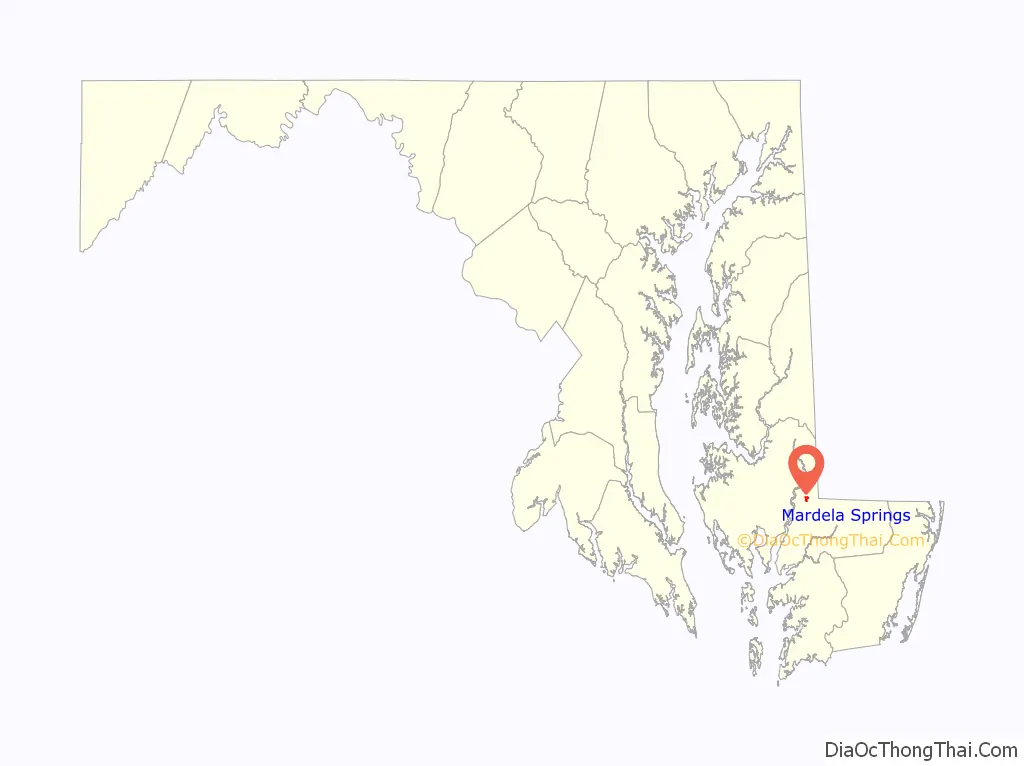
Mardela Springs location map. Where is Mardela Springs town?
History
The area around Mardela Springs was home to indigenous tribes. Europeans brought fur trading to the area. Mineral springs attracted tourists in the 19th century and a spring water company.
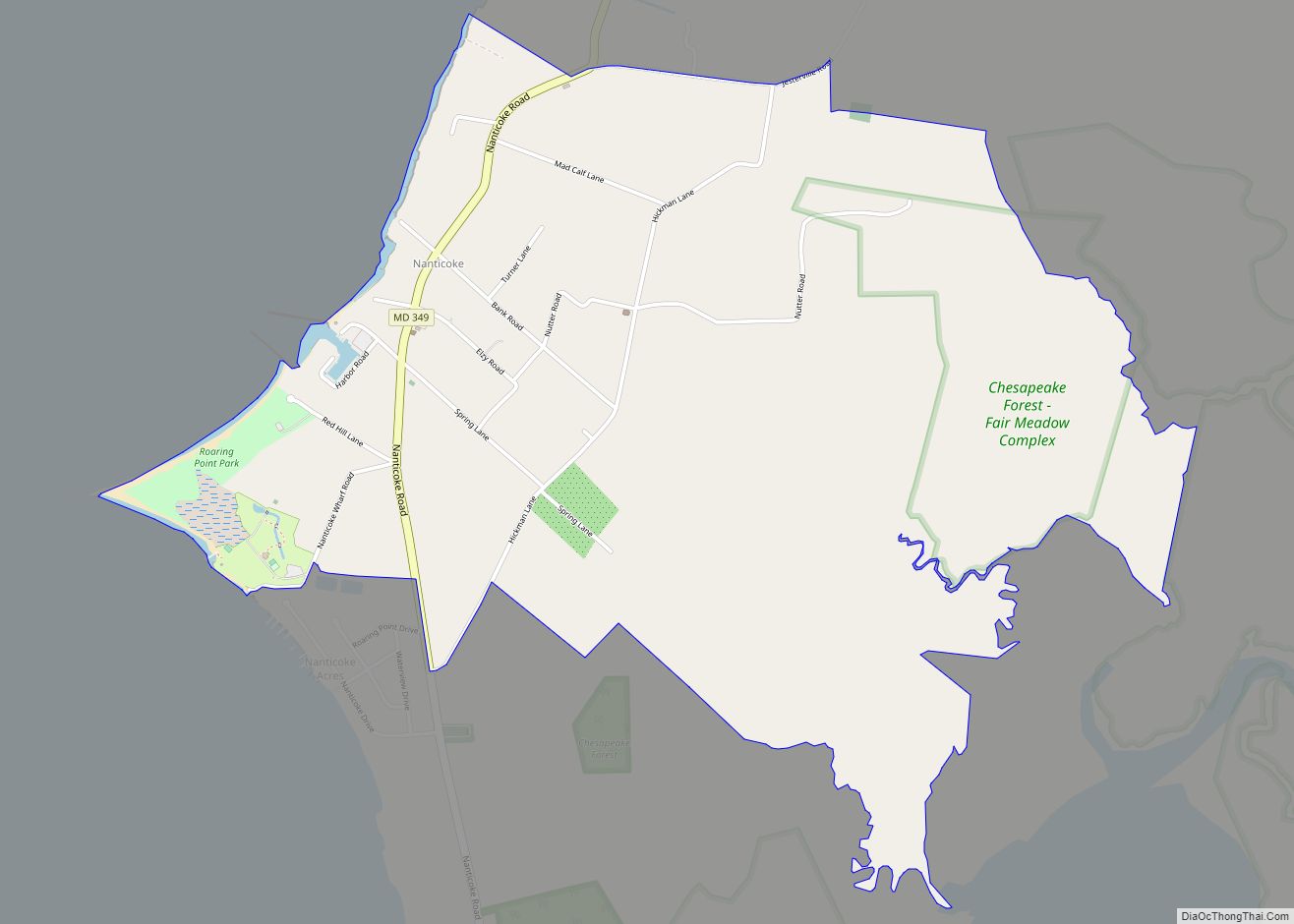
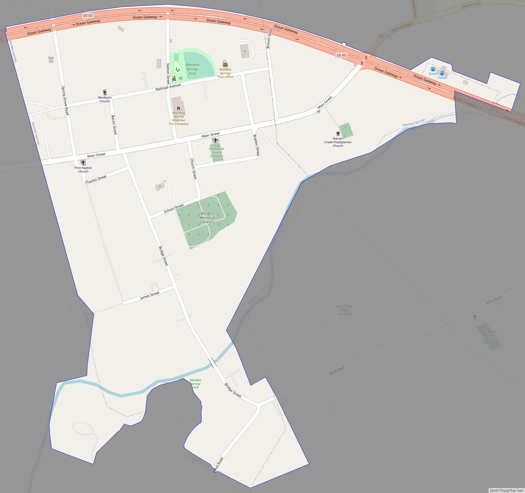
Mardela Springs Road Map
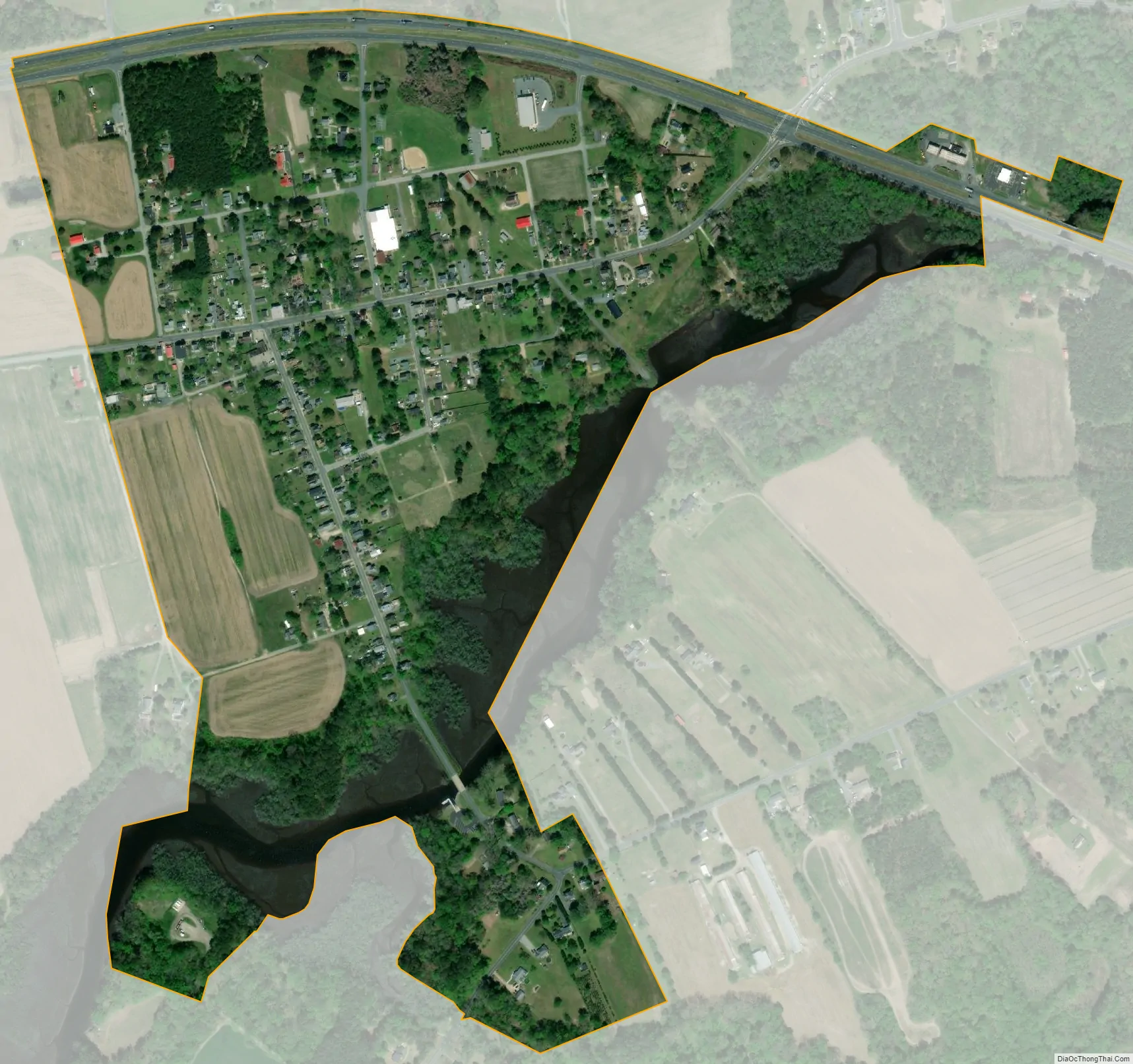
Mardela Springs city Satellite Map
Geography
Mardela Springs is located at 38°27′36″N 75°45′21″W / 38.46000°N 75.75583°W / 38.46000; -75.75583 (38.460098, -75.755785).
According to the United States Census Bureau, the town has a total area of 0.40 square miles (1.04 km), of which 0.39 square miles (1.01 km) is land and 0.01 square miles (0.03 km) is water.
Climate
The climate in this area is characterized by hot, humid summers and generally mild to cool winters. According to the Köppen Climate Classification system, Mardela Springs has a humid subtropical climate, abbreviated “Cfa” on climate maps.
See also
Map of Maryland State and its subdivision: Map of other states:- Alabama
- Alaska
- Arizona
- Arkansas
- California
- Colorado
- Connecticut
- Delaware
- District of Columbia
- Florida
- Georgia
- Hawaii
- Idaho
- Illinois
- Indiana
- Iowa
- Kansas
- Kentucky
- Louisiana
- Maine
- Maryland
- Massachusetts
- Michigan
- Minnesota
- Mississippi
- Missouri
- Montana
- Nebraska
- Nevada
- New Hampshire
- New Jersey
- New Mexico
- New York
- North Carolina
- North Dakota
- Ohio
- Oklahoma
- Oregon
- Pennsylvania
- Rhode Island
- South Carolina
- South Dakota
- Tennessee
- Texas
- Utah
- Vermont
- Virginia
- Washington
- West Virginia
- Wisconsin
- Wyoming