Mount Aetna is a census-designated place (CDP) in Washington County, Maryland, United States. The population was 838 at the 2000 census.
| Name: | Mount Aetna CDP |
|---|---|
| LSAD Code: | 57 |
| LSAD Description: | CDP (suffix) |
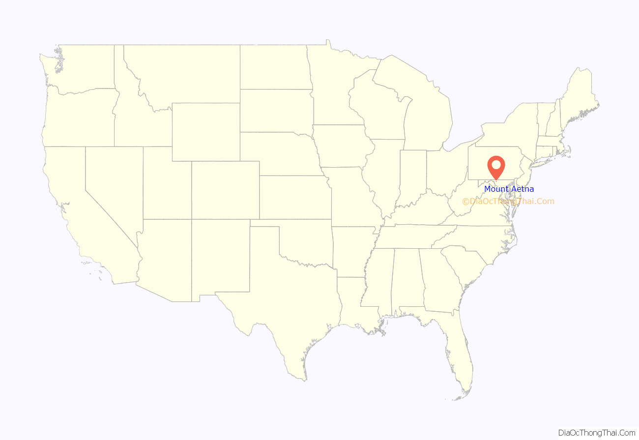
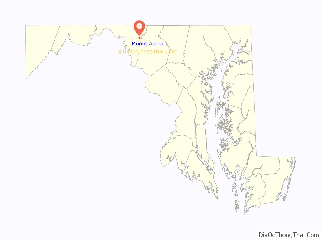
| State: | Maryland |
| County: | Washington County |
| Elevation: | 535 ft (163 m) |
| Total Area: | 1.41 sq mi (3.66 km²) |
| Land Area: | 1.41 sq mi (3.66 km²) |
| Water Area: | 0.00 sq mi (0.00 km²) |
| Total Population: | 580 |
| Population Density: | 410.47/sq mi (158.51/km²) |
| FIPS code: | 2453750 |
| GNISfeature ID: | 0590831 |
Online Interactive Map
Click on ![]() to view map in "full screen" mode.
to view map in "full screen" mode.
Mount Aetna location map. Where is Mount Aetna CDP?
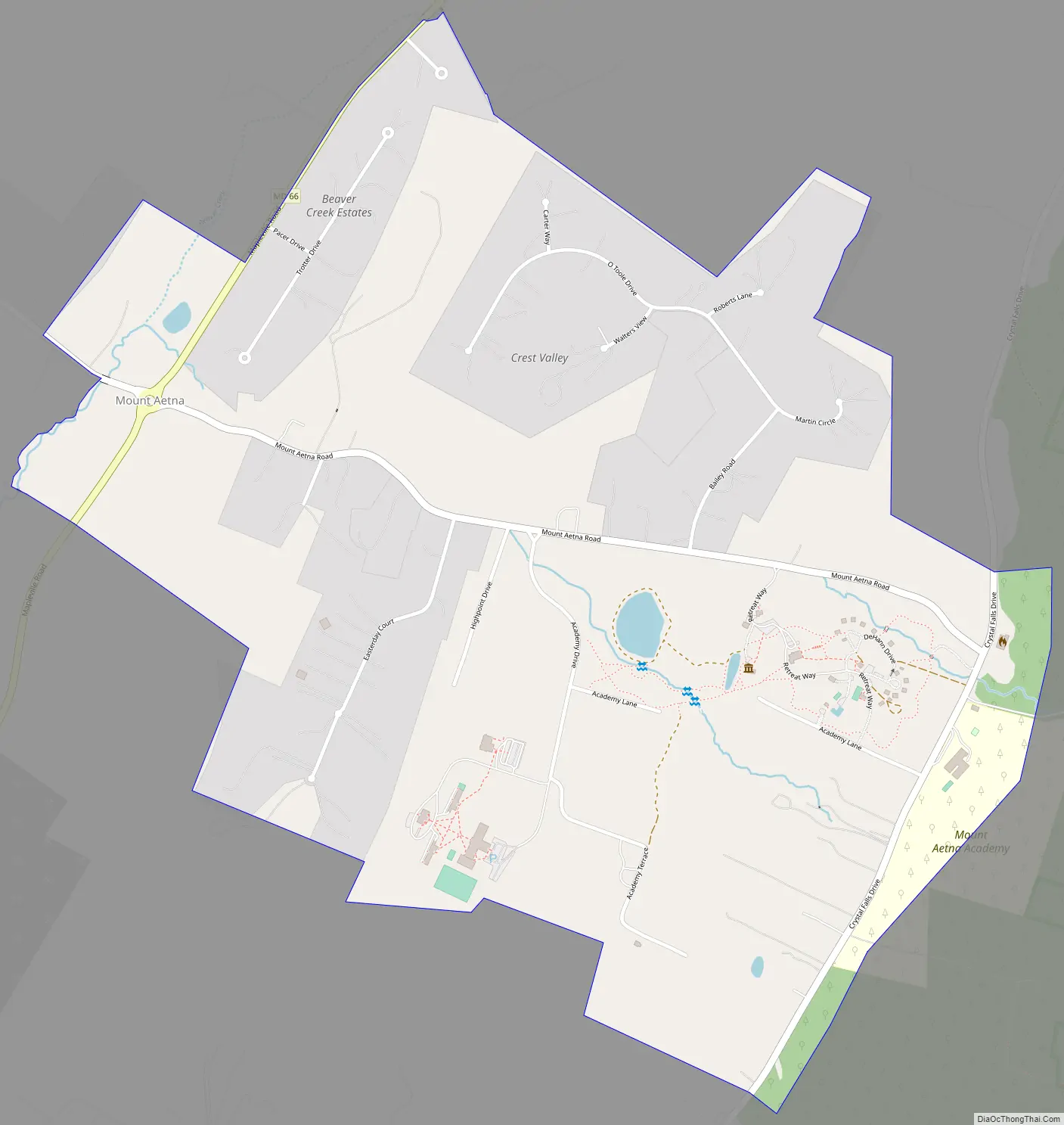
Mount Aetna Road Map
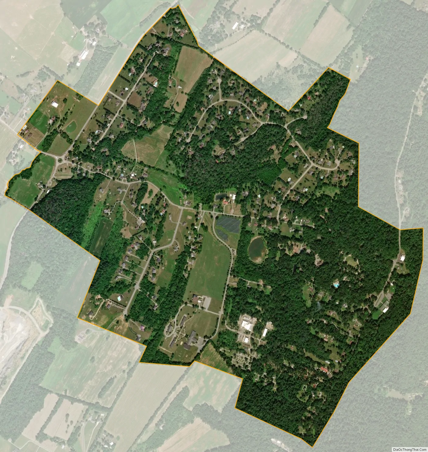
Mount Aetna city Satellite Map
Geography
Mount Aetna is located at 39°36′10″N 77°36′49″W / 39.60278°N 77.61361°W / 39.60278; -77.61361 (39.602673, −77.613496).
According to the United States Census Bureau, the CDP has a total area of 3.9 square miles (10 km), all land.
The community is situated at the western base of South Mountain at elevations between 500 and 700 feet; the landscape here is principally underlain by the Tomstown Dolomite, and the neighboring area is home to at least four known solutional caves, one of which—Mount Aetna Cave—was open briefly for commercial tours in the 1930s. This region is drained by Mount Aetna Creek, which has at least three headwaters in the neighboring mountain, and is a tributary of Beaver Creek.
See also
Map of Maryland State and its subdivision: Map of other states:- Alabama
- Alaska
- Arizona
- Arkansas
- California
- Colorado
- Connecticut
- Delaware
- District of Columbia
- Florida
- Georgia
- Hawaii
- Idaho
- Illinois
- Indiana
- Iowa
- Kansas
- Kentucky
- Louisiana
- Maine
- Maryland
- Massachusetts
- Michigan
- Minnesota
- Mississippi
- Missouri
- Montana
- Nebraska
- Nevada
- New Hampshire
- New Jersey
- New Mexico
- New York
- North Carolina
- North Dakota
- Ohio
- Oklahoma
- Oregon
- Pennsylvania
- Rhode Island
- South Carolina
- South Dakota
- Tennessee
- Texas
- Utah
- Vermont
- Virginia
- Washington
- West Virginia
- Wisconsin
- Wyoming


