Rawlings is an unincorporated community and census-designated place (CDP) in Allegany County, Maryland, United States, on the McMullen Highway (U.S. Route 220). As of the 2010 census, the Rawlings CDP had a population of 693.
The community was named after Moses Rawlings, an officer in the Revolutionary War. It was originally known as “Rawlings Station” after a post office was established on the railroad there on March 7, 1856.
| Name: | Rawlings CDP |
|---|---|
| LSAD Code: | 57 |
| LSAD Description: | CDP (suffix) |
| State: | Maryland |
| County: | Allegany County |
| Elevation: | 750 ft (230 m) |
| Total Area: | 0.90 sq mi (2.32 km²) |
| Land Area: | 0.89 sq mi (2.31 km²) |
| Water Area: | 0.00 sq mi (0.01 km²) |
| Total Population: | 687 |
| Population Density: | 769.32/sq mi (297.00/km²) |
| ZIP code: | 21557 |
| FIPS code: | 2465150 |
| GNISfeature ID: | 2583680 |
Online Interactive Map
Click on ![]() to view map in "full screen" mode.
to view map in "full screen" mode.
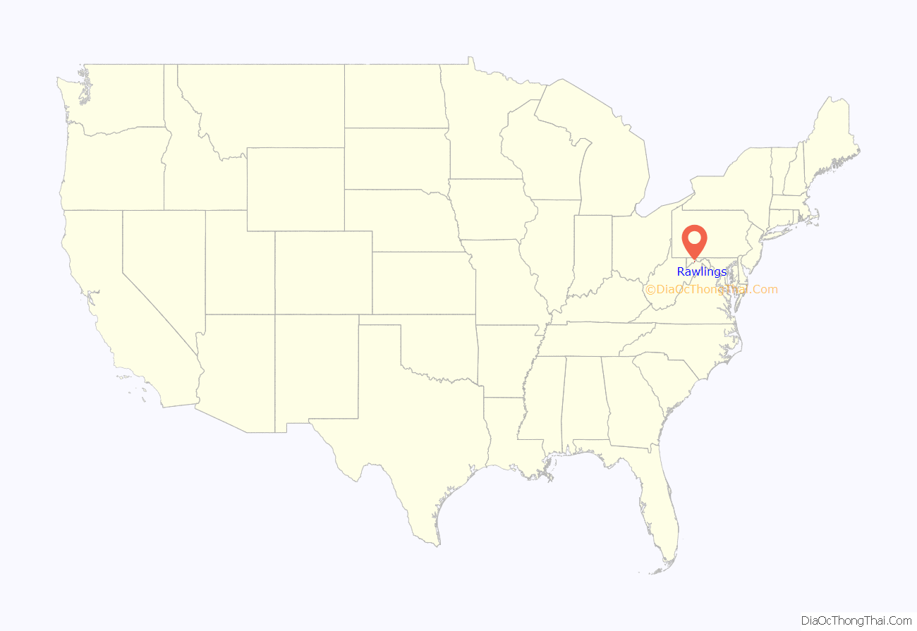
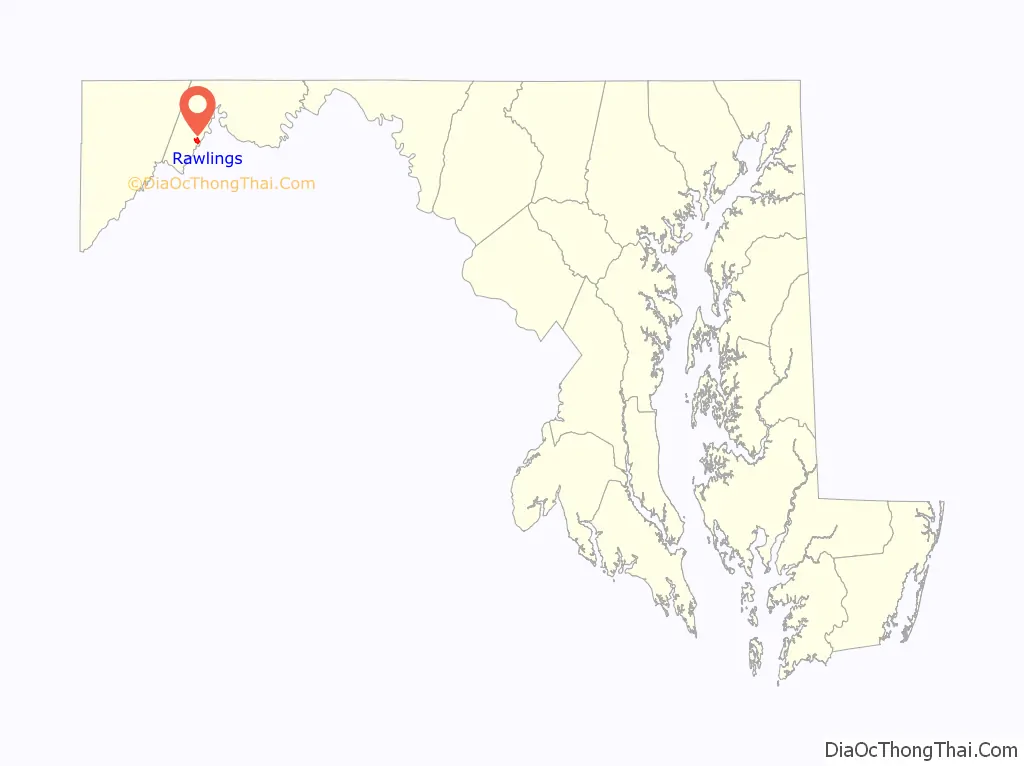
Rawlings location map. Where is Rawlings CDP?
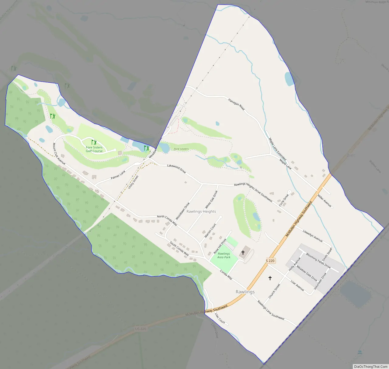
Rawlings Road Map
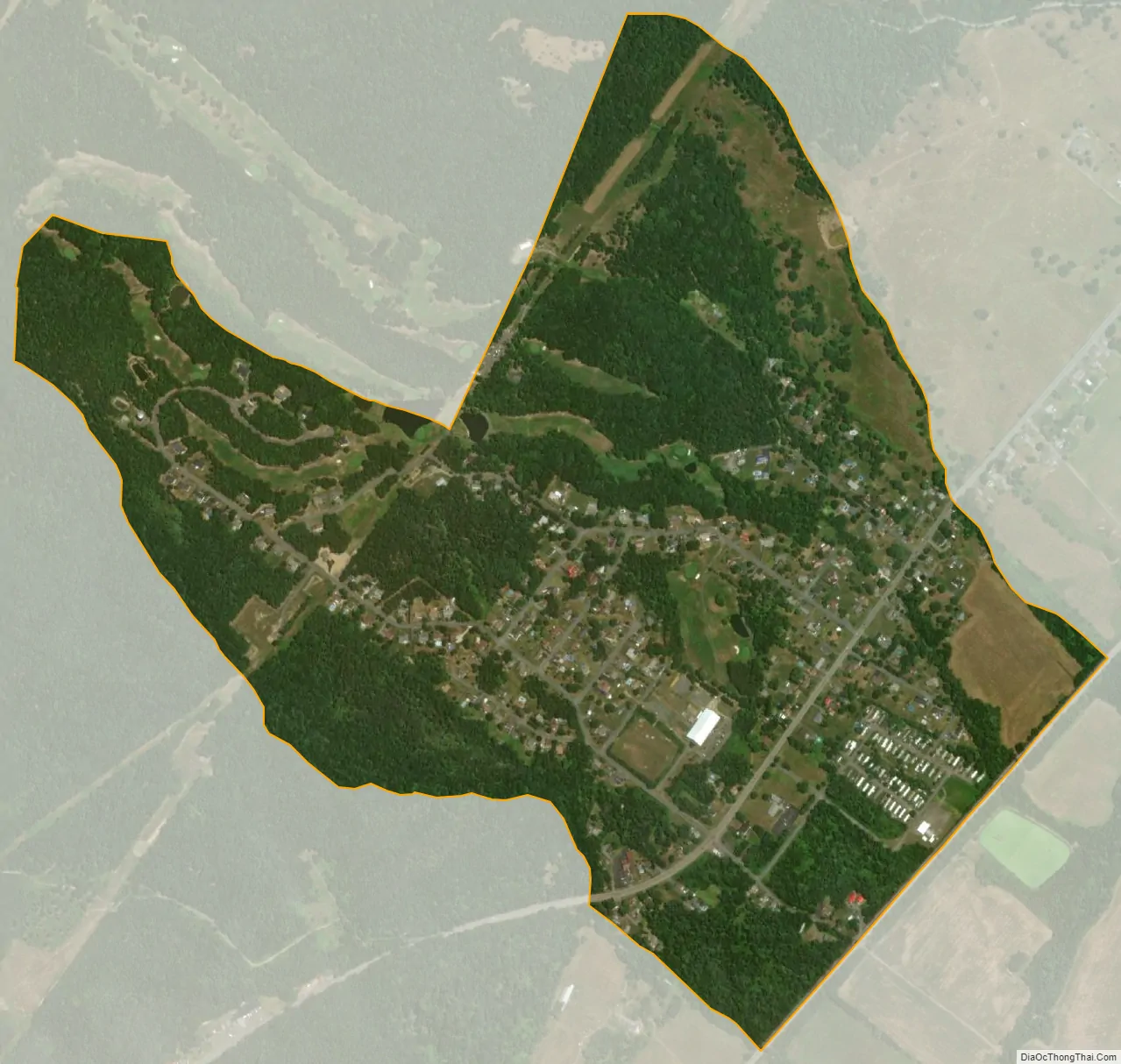
Rawlings city Satellite Map
See also
Map of Maryland State and its subdivision: Map of other states:- Alabama
- Alaska
- Arizona
- Arkansas
- California
- Colorado
- Connecticut
- Delaware
- District of Columbia
- Florida
- Georgia
- Hawaii
- Idaho
- Illinois
- Indiana
- Iowa
- Kansas
- Kentucky
- Louisiana
- Maine
- Maryland
- Massachusetts
- Michigan
- Minnesota
- Mississippi
- Missouri
- Montana
- Nebraska
- Nevada
- New Hampshire
- New Jersey
- New Mexico
- New York
- North Carolina
- North Dakota
- Ohio
- Oklahoma
- Oregon
- Pennsylvania
- Rhode Island
- South Carolina
- South Dakota
- Tennessee
- Texas
- Utah
- Vermont
- Virginia
- Washington
- West Virginia
- Wisconsin
- Wyoming


