San Mar is a census-designated place (CDP) in Washington County, Maryland, United States. The population was 515 at the 2000 census.
| Name: | San Mar CDP |
|---|---|
| LSAD Code: | 57 |
| LSAD Description: | CDP (suffix) |
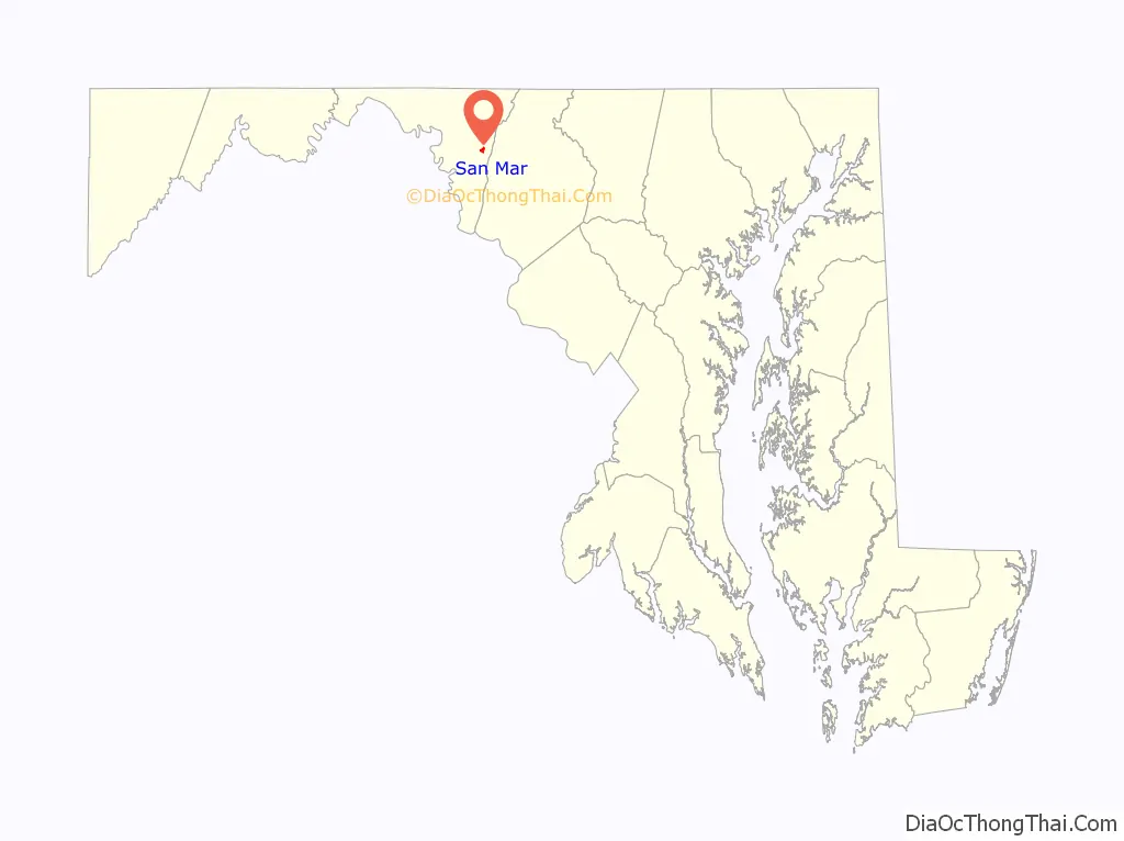
| State: | Maryland |
| County: | Washington County |
| Elevation: | 545 ft (166 m) |
| Total Area: | 0.47 sq mi (1.21 km²) |
| Land Area: | 0.47 sq mi (1.21 km²) |
| Water Area: | 0.00 sq mi (0.00 km²) |
| Total Population: | 366 |
| Population Density: | 785.41/sq mi (303.19/km²) |
| ZIP code: | 21713 |
| Area code: | 240 and 301 |
| FIPS code: | 2470300 |
| GNISfeature ID: | 0591229 |
Online Interactive Map
Click on ![]() to view map in "full screen" mode.
to view map in "full screen" mode.
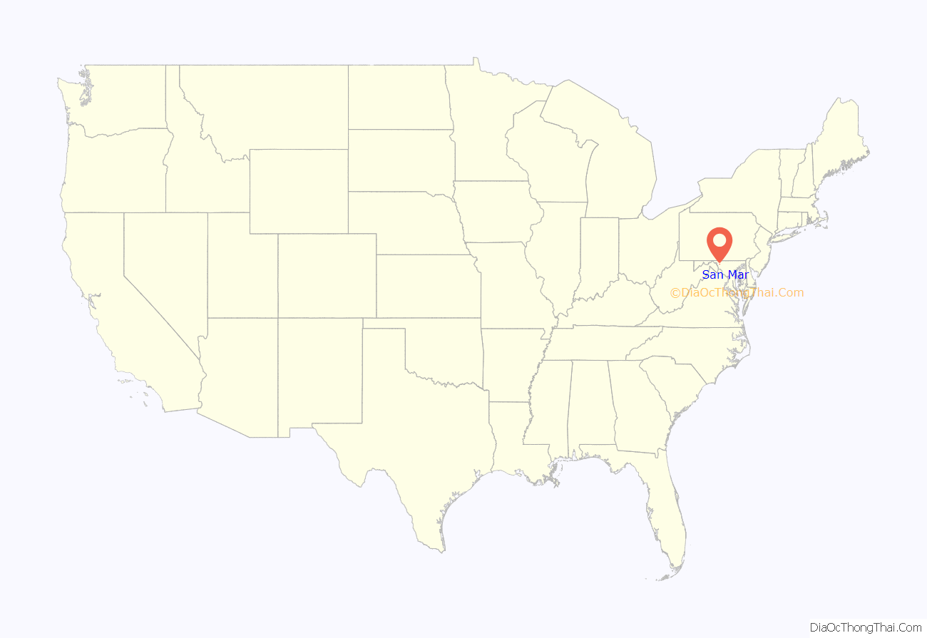
San Mar location map. Where is San Mar CDP?
History
Mannheim was listed on the National Register of Historic Places in 1979.
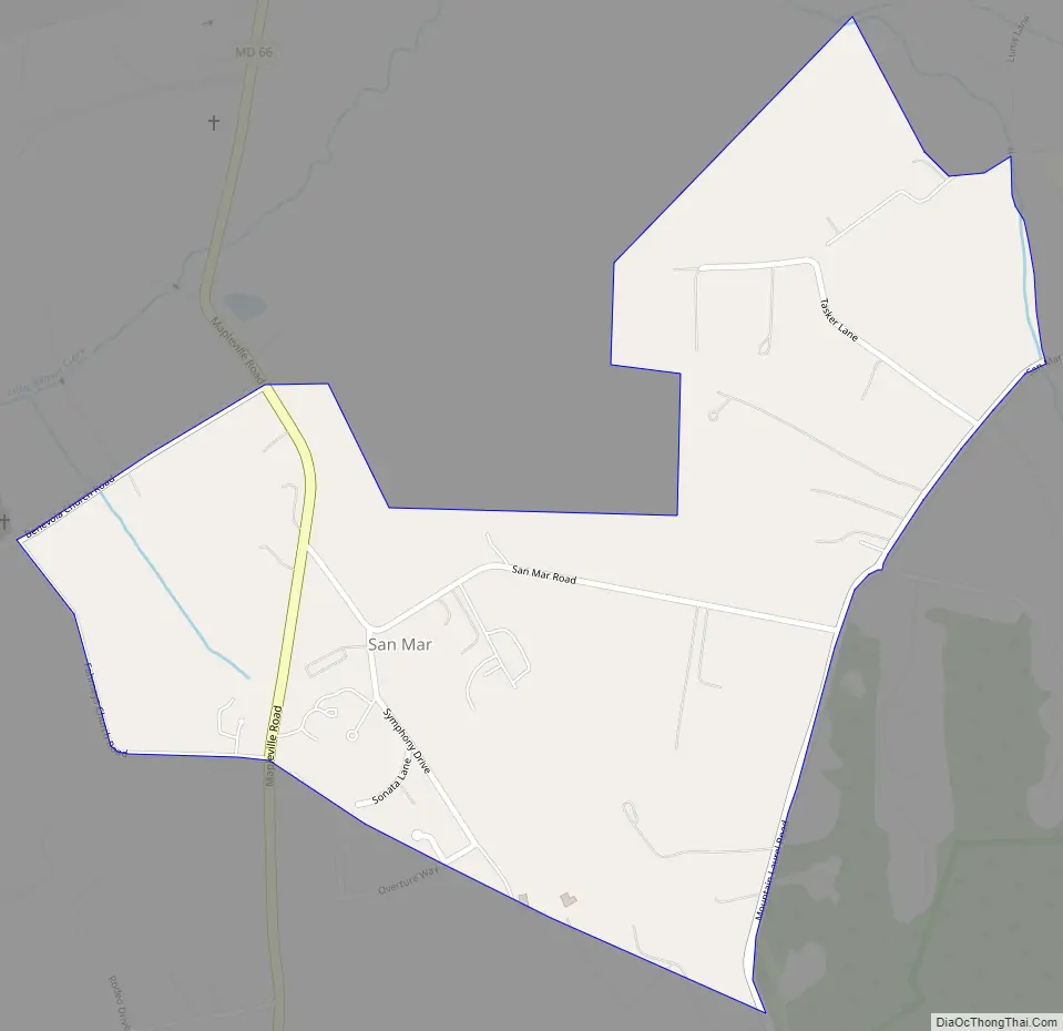
San Mar Road Map
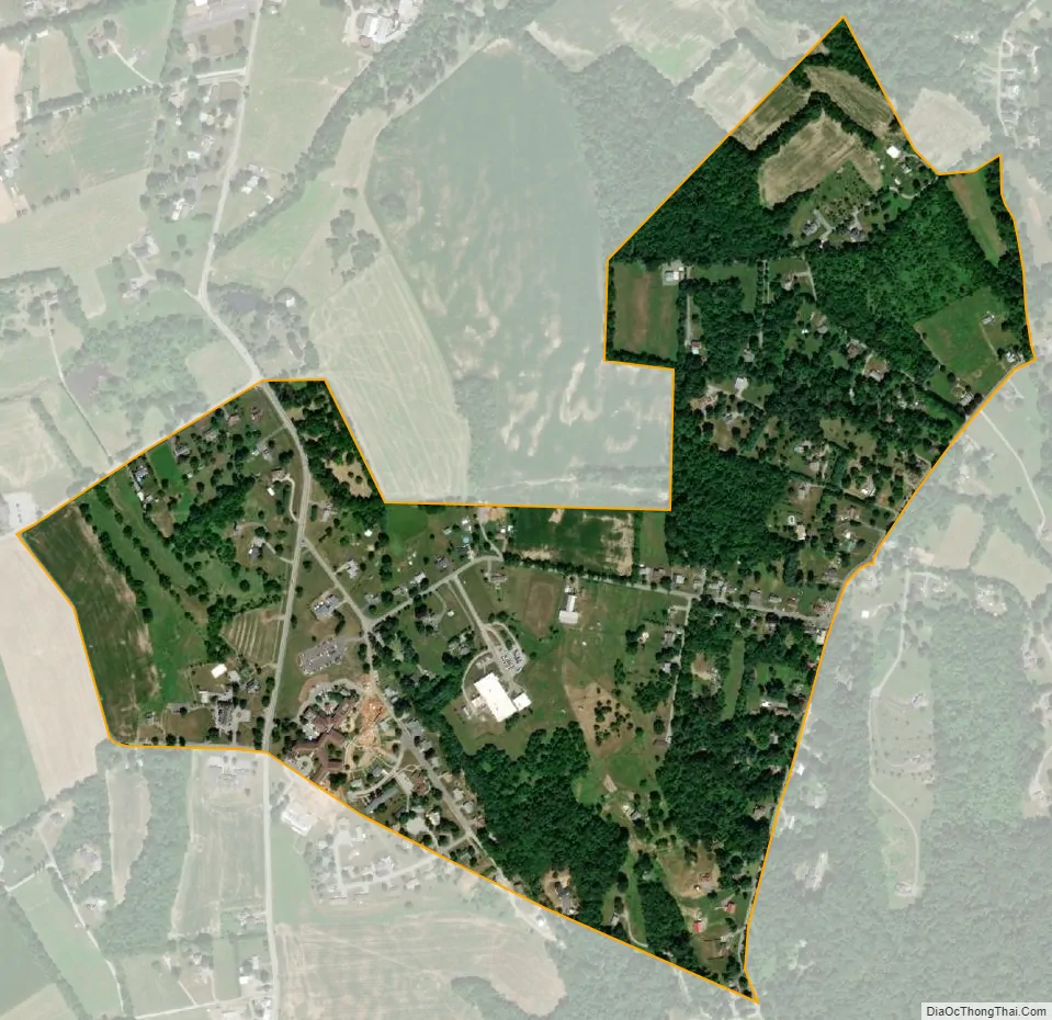
San Mar city Satellite Map
Geography
San Mar is located at 39°33′6″N 77°38′46″W / 39.55167°N 77.64611°W / 39.55167; -77.64611 (39.551764, −77.646241).
According to the United States Census Bureau, the CDP has a total area of 1.3 square miles (3.4 km), all land.
See also
Map of Maryland State and its subdivision: Map of other states:- Alabama
- Alaska
- Arizona
- Arkansas
- California
- Colorado
- Connecticut
- Delaware
- District of Columbia
- Florida
- Georgia
- Hawaii
- Idaho
- Illinois
- Indiana
- Iowa
- Kansas
- Kentucky
- Louisiana
- Maine
- Maryland
- Massachusetts
- Michigan
- Minnesota
- Mississippi
- Missouri
- Montana
- Nebraska
- Nevada
- New Hampshire
- New Jersey
- New Mexico
- New York
- North Carolina
- North Dakota
- Ohio
- Oklahoma
- Oregon
- Pennsylvania
- Rhode Island
- South Carolina
- South Dakota
- Tennessee
- Texas
- Utah
- Vermont
- Virginia
- Washington
- West Virginia
- Wisconsin
- Wyoming


