Sandy Hook is an unincorporated community and census-designated place in Washington County, Maryland, United States. Its population was 188 as of the 2010 census. Sandy Hook was briefly important as for a few years it was the end of the line for the Baltimore and Ohio Railroad, then under construction. This period ended with the opening of the B & O Railroad Potomac River Crossing in 1837.
During John Brown’s 1859 raid on Harpers Ferry, just 3 miles (4.8 km) to the west, across the bridge, a special train that had carried soldiers was parked at Sandy Hook, and it carried the telegraph that reporters used to send out voluminous stories. Baltimore and Ohio Railroad night watchman Patrick Higgins lived in Sandy Hook from 1853 until his death in 1915. At the time of his death he was the longest tenured employee of the Baltimore and Ohio Railroad. Patrick has been written about extensively for his role in John Brown’s Raid of 1859.
| Name: | Sandy Hook CDP |
|---|---|
| LSAD Code: | 57 |
| LSAD Description: | CDP (suffix) |
| State: | Maryland |
| County: | Washington County |
| Elevation: | 269 ft (82 m) |
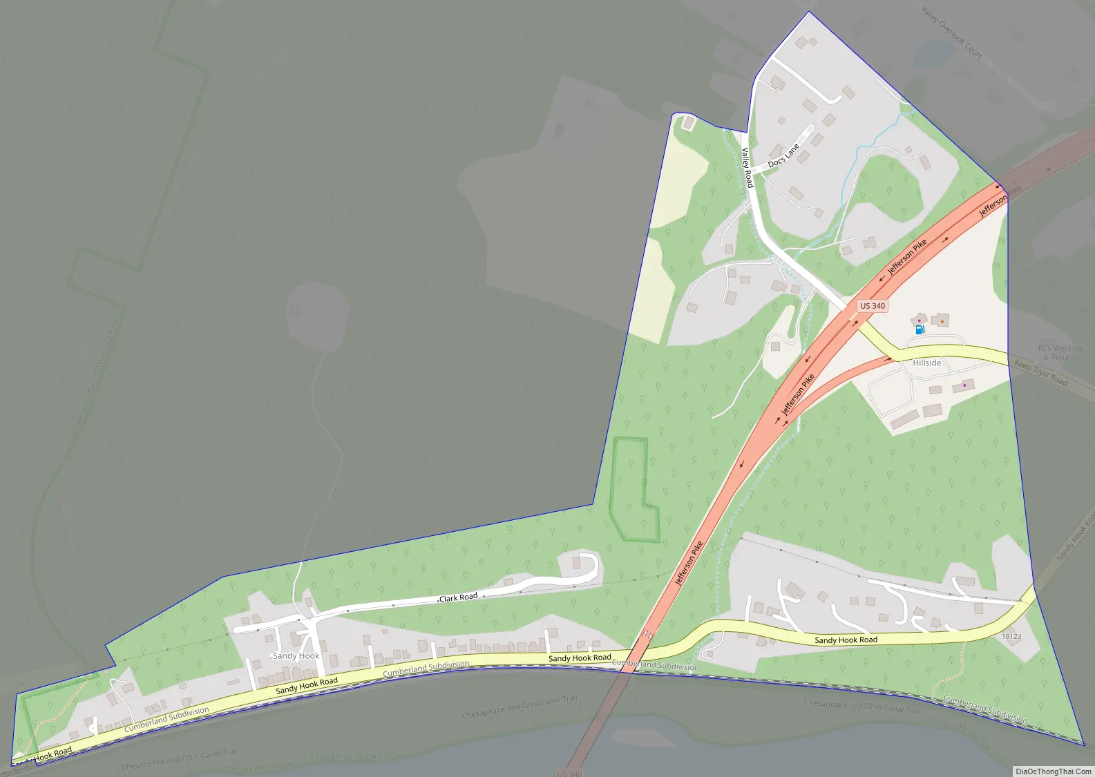
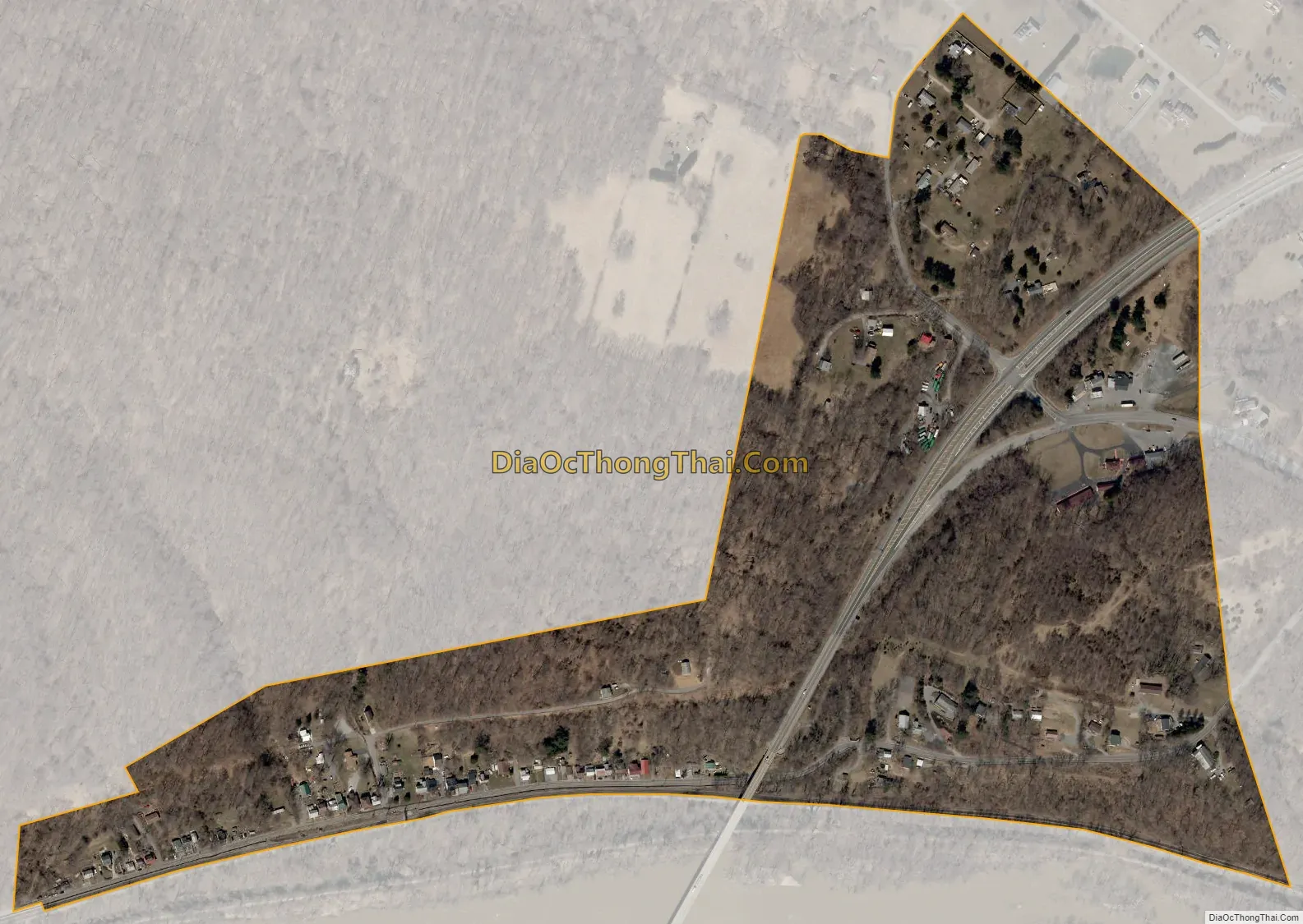
| Total Area: | 0.22 sq mi (0.56 km²) |
| Land Area: | 0.22 sq mi (0.56 km²) |
| Water Area: | 0.00 sq mi (0.00 km²) |
| Total Population: | 168 |
| Population Density: | 777.78/sq mi (300.79/km²) |
| Area code: | 301, 240 |
| FIPS code: | 2470175 |
| GNISfeature ID: | 591227 |
Online Interactive Map
Click on ![]() to view map in "full screen" mode.
to view map in "full screen" mode.
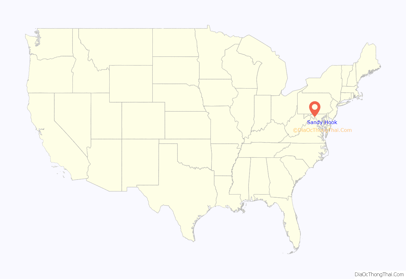
Sandy Hook location map. Where is Sandy Hook CDP?
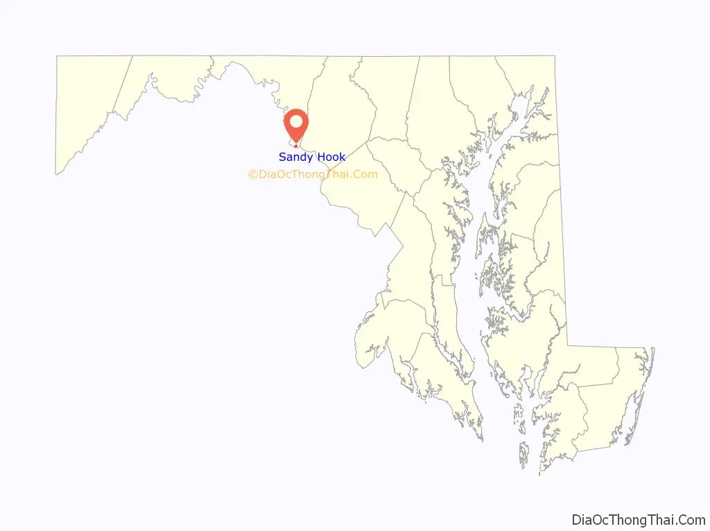
Sandy Hook Road Map
Sandy Hook city Satellite Map
Geography
According to the U.S. Census Bureau, the community has an area of 0.216 square miles (0.56 km), all land.
See also
Map of Maryland State and its subdivision: Map of other states:- Alabama
- Alaska
- Arizona
- Arkansas
- California
- Colorado
- Connecticut
- Delaware
- District of Columbia
- Florida
- Georgia
- Hawaii
- Idaho
- Illinois
- Indiana
- Iowa
- Kansas
- Kentucky
- Louisiana
- Maine
- Maryland
- Massachusetts
- Michigan
- Minnesota
- Mississippi
- Missouri
- Montana
- Nebraska
- Nevada
- New Hampshire
- New Jersey
- New Mexico
- New York
- North Carolina
- North Dakota
- Ohio
- Oklahoma
- Oregon
- Pennsylvania
- Rhode Island
- South Carolina
- South Dakota
- Tennessee
- Texas
- Utah
- Vermont
- Virginia
- Washington
- West Virginia
- Wisconsin
- Wyoming


