Vale Summit is an unincorporated community and census-designated place (CDP) in Allegany County, Maryland, United States. As of the 2010 census it had a population of 139.
Local lore indicates that the community was so named in the mid 19th century, founded by the local population of coal miners. Previously, however, it was locally known as “Pompey Smash”, the origin of which is commonly believed to have come from a slave named Pompey crashing his wagonload of coal. A main road through the village still bears the name “Pompey Smash Road”.
A paved road reached the town circa 1921, from Clarysville, along Route 40.
| Name: | Vale Summit CDP |
|---|---|
| LSAD Code: | 57 |
| LSAD Description: | CDP (suffix) |
| State: | Maryland |
| County: | Allegany County |
| Elevation: | 2,030 ft (620 m) |
| Total Area: | 0.99 sq mi (2.56 km²) |
| Land Area: | 0.99 sq mi (2.56 km²) |
| Water Area: | 0.00 sq mi (0.00 km²) |
| Total Population: | 111 |
| Population Density: | 112.35/sq mi (43.36/km²) |
| FIPS code: | 2480075 |
| GNISfeature ID: | 2583699 |
Online Interactive Map
Click on ![]() to view map in "full screen" mode.
to view map in "full screen" mode.
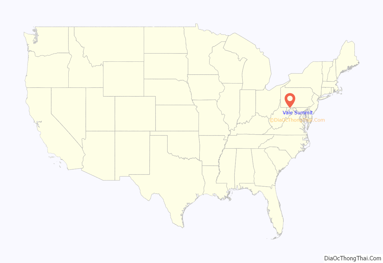
Vale Summit location map. Where is Vale Summit CDP?
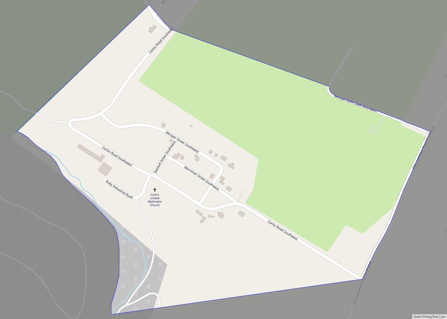
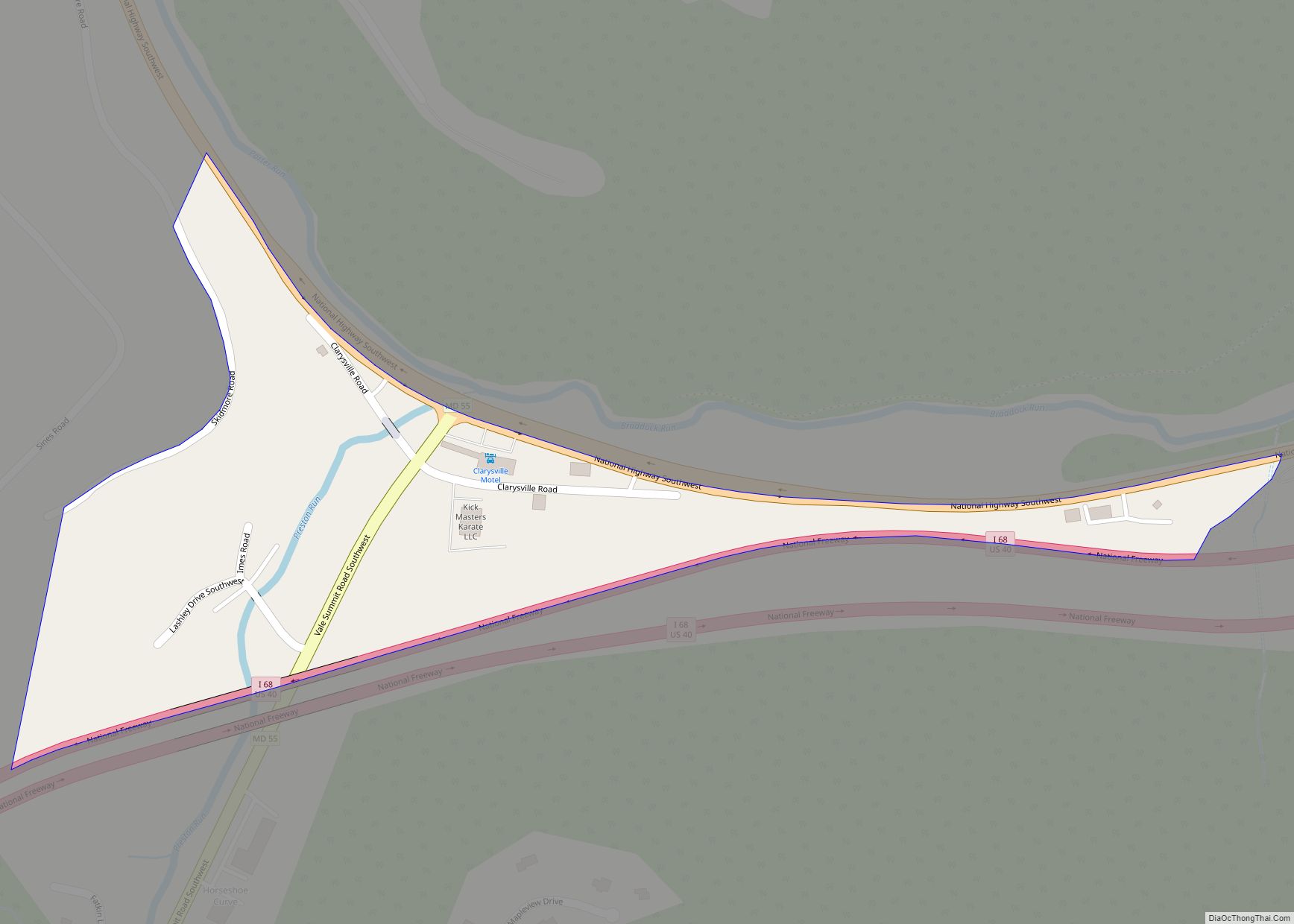
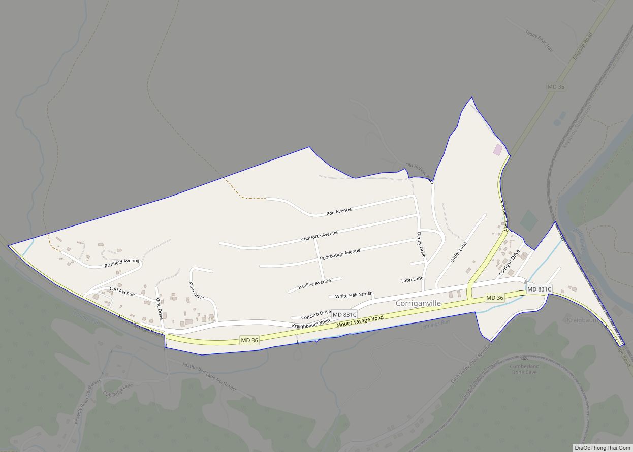
Vale Summit Road Map
Vale Summit city Satellite Map
See also
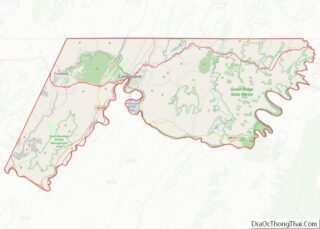
Map of Maryland State and its subdivision: Map of other states:- Alabama
- Alaska
- Arizona
- Arkansas
- California
- Colorado
- Connecticut
- Delaware
- District of Columbia
- Florida
- Georgia
- Hawaii
- Idaho
- Illinois
- Indiana
- Iowa
- Kansas
- Kentucky
- Louisiana
- Maine
- Maryland
- Massachusetts
- Michigan
- Minnesota
- Mississippi
- Missouri
- Montana
- Nebraska
- Nevada
- New Hampshire
- New Jersey
- New Mexico
- New York
- North Carolina
- North Dakota
- Ohio
- Oklahoma
- Oregon
- Pennsylvania
- Rhode Island
- South Carolina
- South Dakota
- Tennessee
- Texas
- Utah
- Vermont
- Virginia
- Washington
- West Virginia
- Wisconsin
- Wyoming
