Whitehaven is an unincorporated community and census-designated place in Wicomico County, Maryland, United States. Its population was 43 as of the 2010 census. It is part of the Salisbury, Maryland-Delaware Metropolitan Statistical Area.
Whitehaven is home to the Whitehaven Ferry, one of the few remaining public ferries in Maryland, and was once a thriving settlement which included stores, a shipyard, and the Whitehaven Hotel. It is the location of the Whitehaven Historic District. The ferry runs between Whitehaven and Mt. Vernon, Somerset County and takes approximately 5 minutes to make a crossing.
The Whitehaven Historic District and Whitehaven Hotel are listed on the National Register of Historic Places.
| Name: | Whitehaven CDP |
|---|---|
| LSAD Code: | 57 |
| LSAD Description: | CDP (suffix) |
| State: | Maryland |
| County: | Wicomico County |
| Elevation: | 3 ft (0.9 m) |
| Total Area: | 0.37 sq mi (0.96 km²) |
| Land Area: | 0.37 sq mi (0.96 km²) |
| Water Area: | 0.00 sq mi (0.01 km²) |
| Total Population: | 46 |
| Population Density: | 124.66/sq mi (48.10/km²) |
| Area code: | 410 & 443 |
| FIPS code: | 2484225 |
| GNISfeature ID: | 588219 |
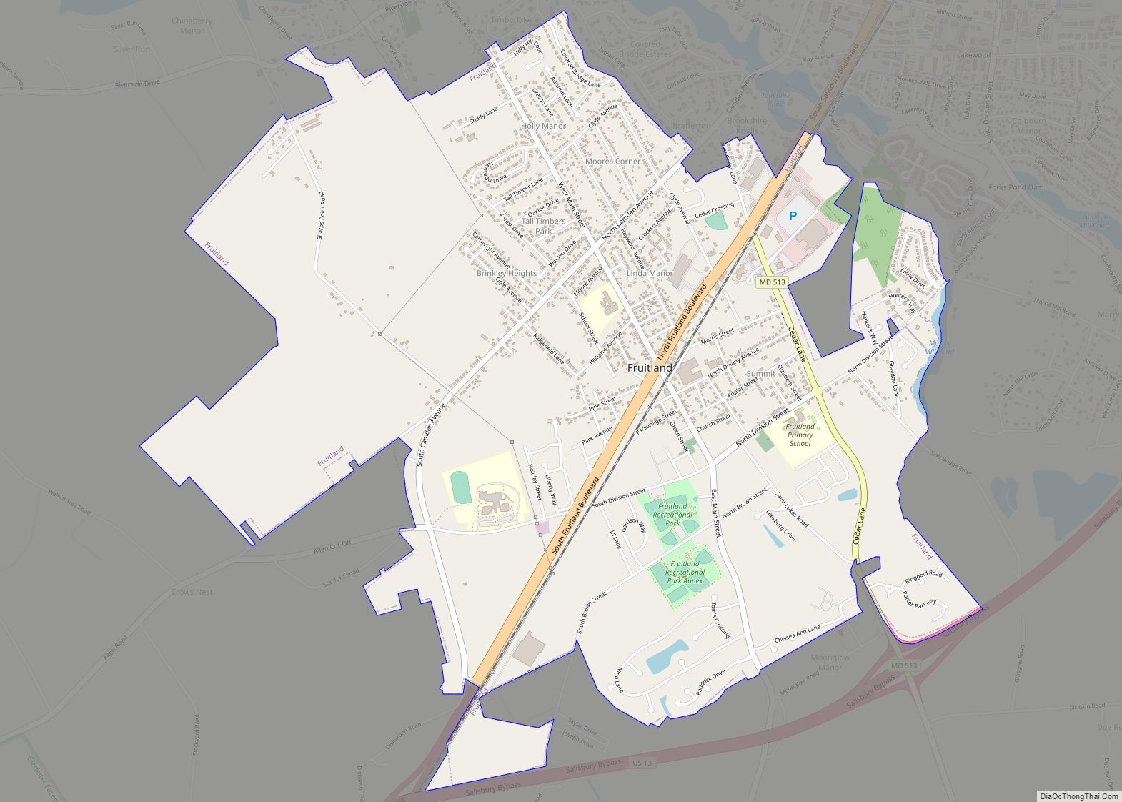
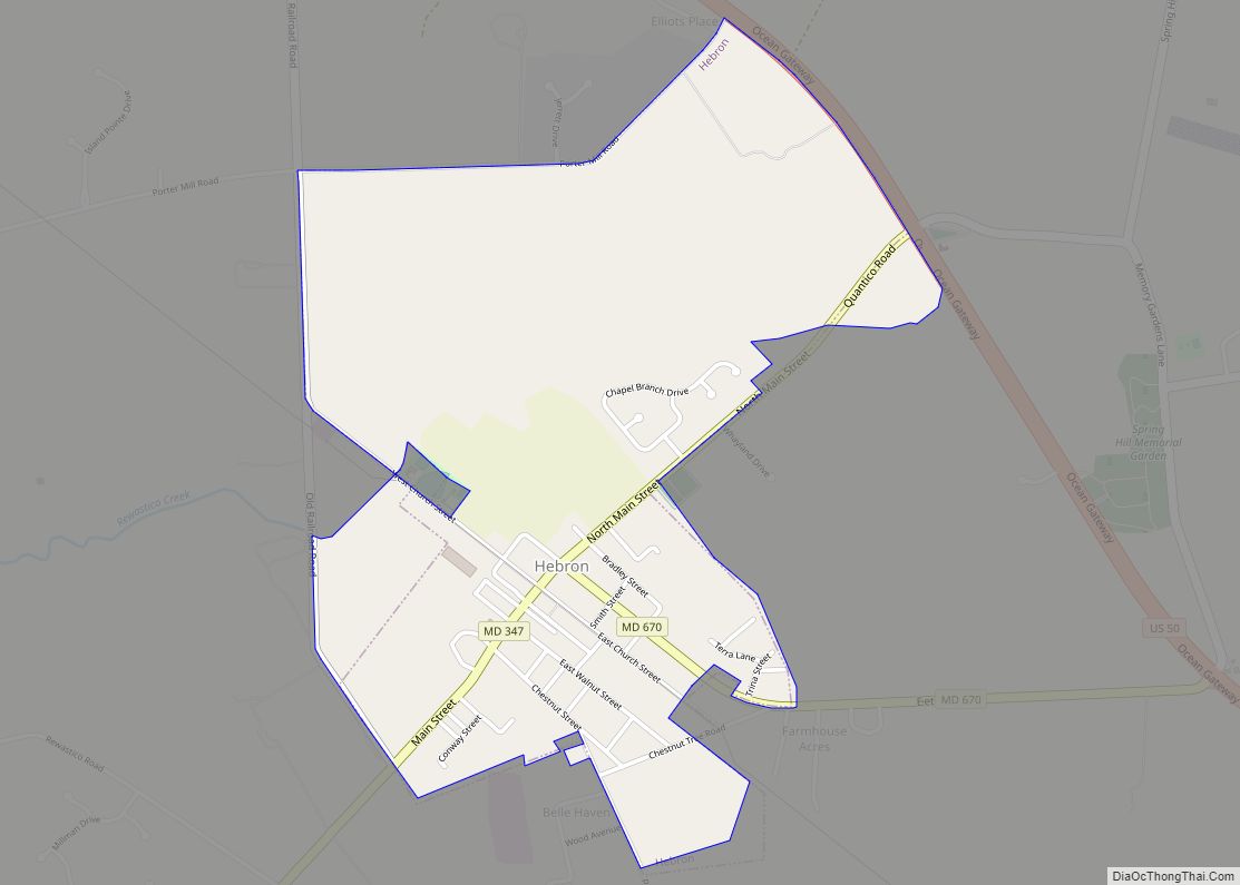
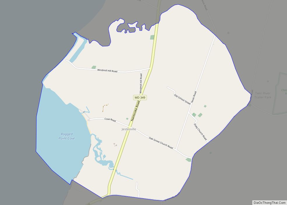
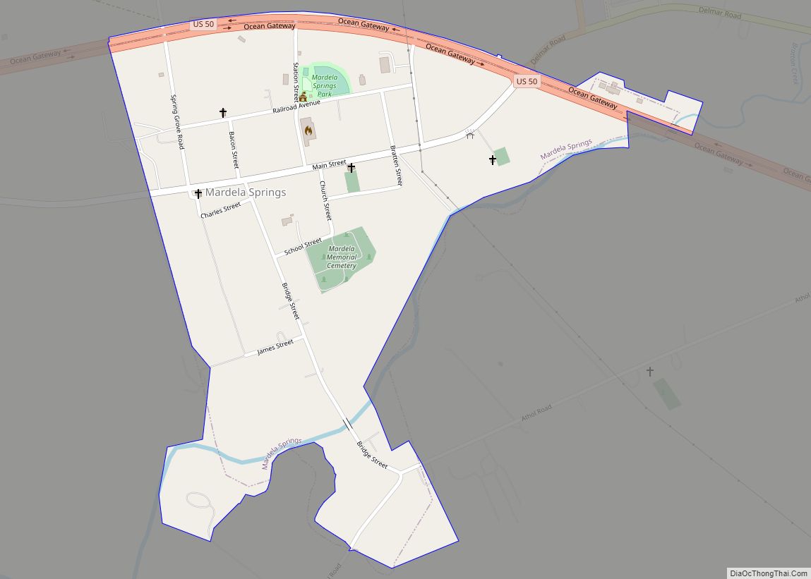
Online Interactive Map
Click on ![]() to view map in "full screen" mode.
to view map in "full screen" mode.
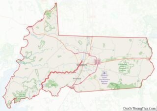
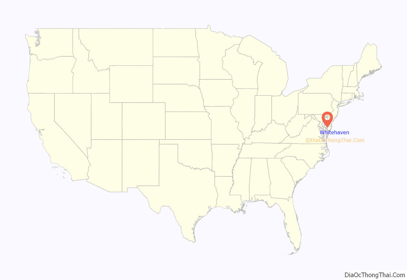
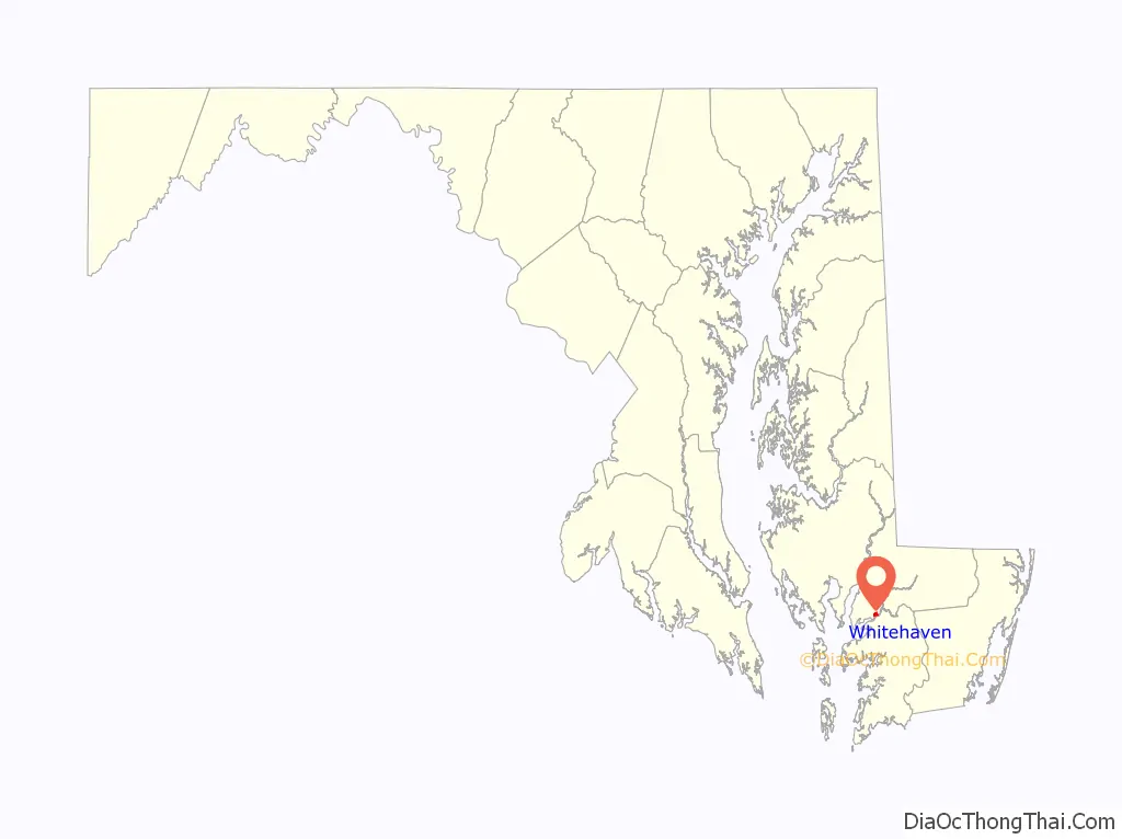
Whitehaven location map. Where is Whitehaven CDP?
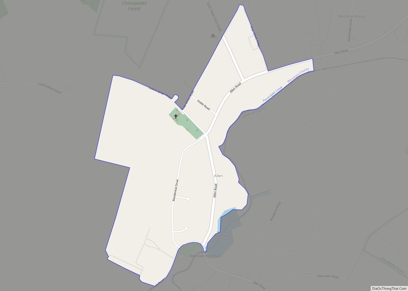
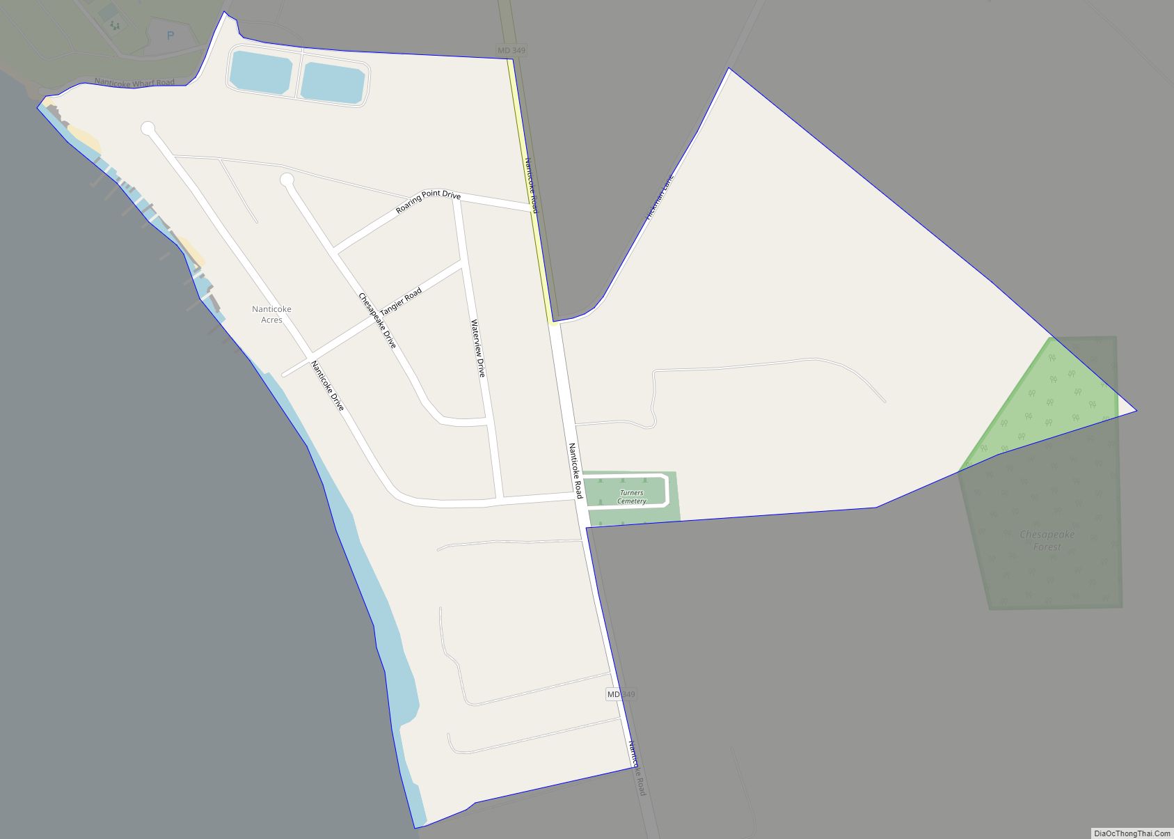
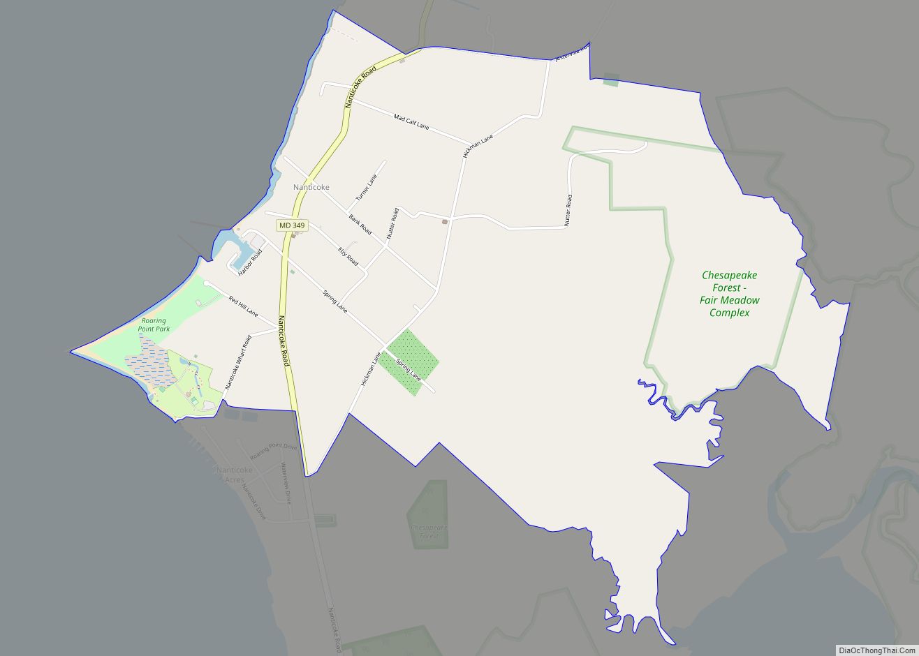
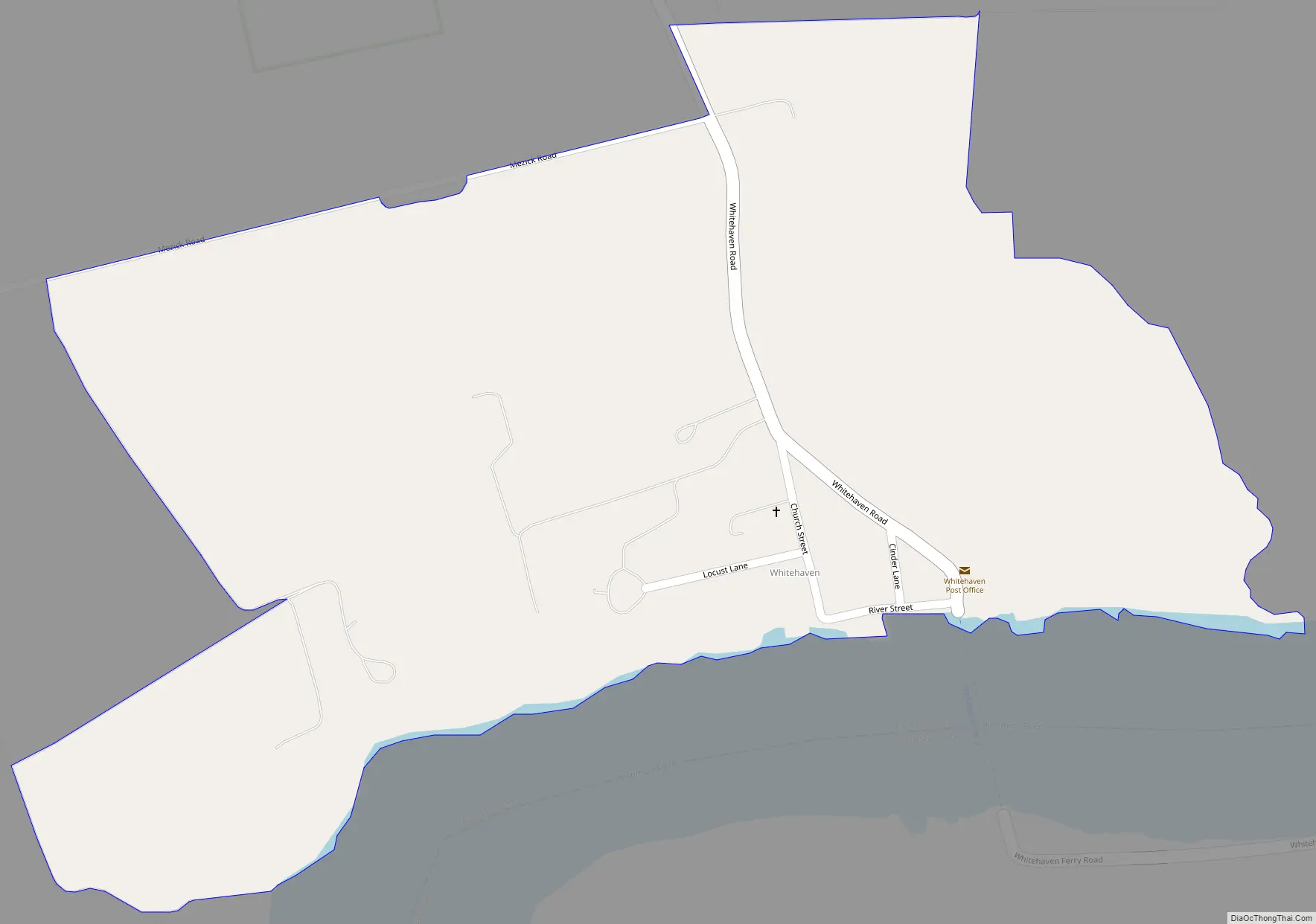
Whitehaven Road Map
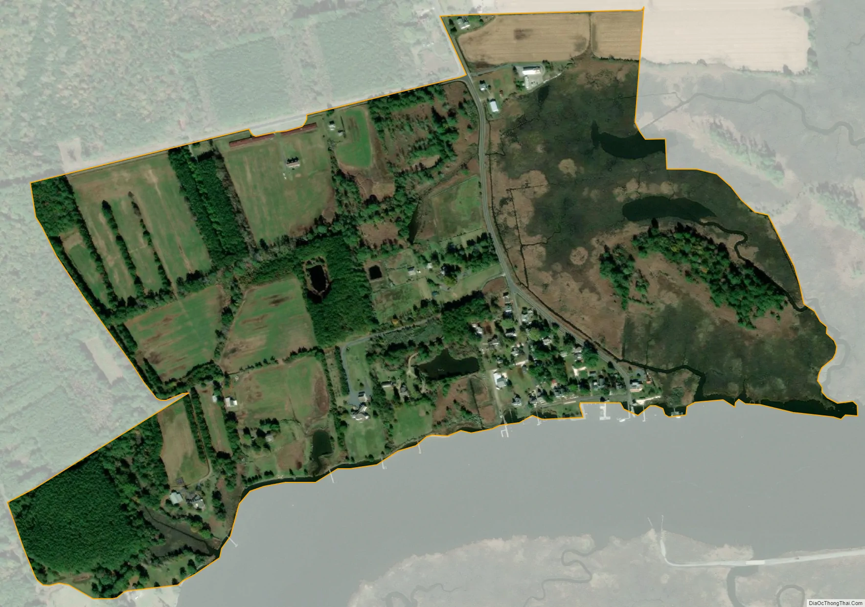
Whitehaven city Satellite Map
See also
Map of Maryland State and its subdivision: Map of other states:- Alabama
- Alaska
- Arizona
- Arkansas
- California
- Colorado
- Connecticut
- Delaware
- District of Columbia
- Florida
- Georgia
- Hawaii
- Idaho
- Illinois
- Indiana
- Iowa
- Kansas
- Kentucky
- Louisiana
- Maine
- Maryland
- Massachusetts
- Michigan
- Minnesota
- Mississippi
- Missouri
- Montana
- Nebraska
- Nevada
- New Hampshire
- New Jersey
- New Mexico
- New York
- North Carolina
- North Dakota
- Ohio
- Oklahoma
- Oregon
- Pennsylvania
- Rhode Island
- South Carolina
- South Dakota
- Tennessee
- Texas
- Utah
- Vermont
- Virginia
- Washington
- West Virginia
- Wisconsin
- Wyoming