Gardiner is a city in Kennebec County, Maine, United States. The population was 5,961 at the 2020 census. Popular with tourists, Gardiner is noted for its culture and old architecture. Gardiner is a nationally accredited Main Street America community. It is included in the Augusta, Maine micropolitan New England City and Town Area.
| Name: | Gardiner city |
|---|---|
| LSAD Code: | 25 |
| LSAD Description: | city (suffix) |
| State: | Maine |
| County: | Kennebec County |
| Incorporated: | February 17, 1803 |
| Elevation: | 30 ft (9 m) |
| Total Area: | 16.57 sq mi (42.91 km²) |
| Land Area: | 15.68 sq mi (40.61 km²) |
| Water Area: | 0.89 sq mi (2.30 km²) |
| Total Population: | 5,961 |
| Population Density: | 380.14/sq mi (146.77/km²) |
| ZIP code: | 04345 |
| Area code: | 207 |
| FIPS code: | 2327085 |
| GNISfeature ID: | 0566690 |
| Website: | www.gardinermaine.com |
Online Interactive Map
Click on ![]() to view map in "full screen" mode.
to view map in "full screen" mode.
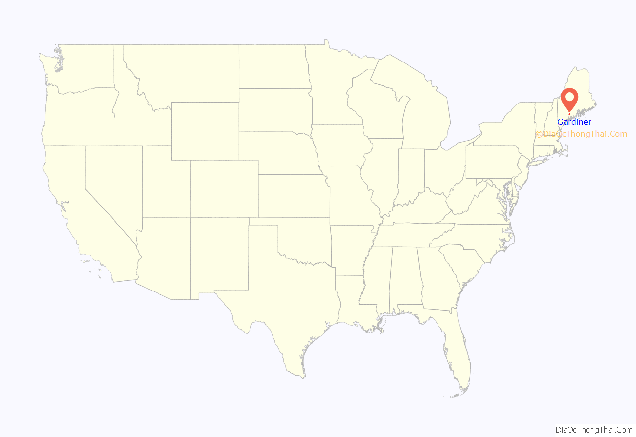
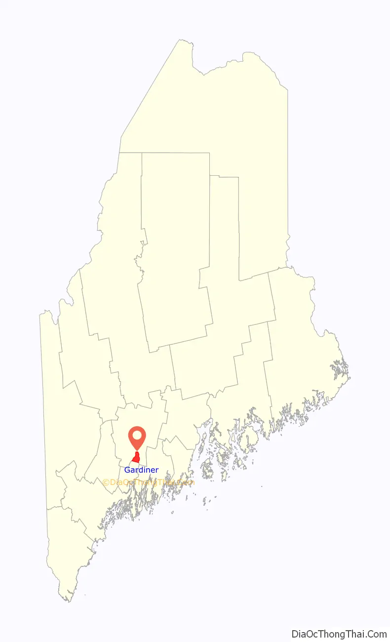
Gardiner location map. Where is Gardiner city?
History
Located at the head of navigation on the Kennebec River, Gardiner was founded as Gardinerstown Plantation in 1754 by Dr. Silvester Gardiner, a prominent Boston physician. Dr. Gardiner had made a fortune as a drug merchant, with one apothecary shop in Massachusetts and two in Connecticut, and became a principal proprietor of the Kennebec Purchase within the old Plymouth Patent. He proved a tireless promoter for his development, which once comprised over 100,000 acres (400 km).
Dr. Gardiner induced a gristmill builder, saw millwright, house carpenter and wheelwright to settle here, as well as a man he enslaved named Isaac “Hazard” Stockbridge. Houses, mills, a church and a blockhouse were built. Situated at the confluence of the Kennebec River and Cobbosseecontee Stream, which has falls that drop 130 feet, the location was recognized by him as ideal for water-powered mills. Gardinerstown, set off from Pittston in 1760, became center of the regional economy.
The wilderness toils of Dr. Gardiner would end, however, with the Revolution. Loyal to the Crown, he fled Boston in 1776 when the British army evacuated. But his settlement lived on without him, and in 1803 was incorporated as the town of Gardiner. From the early 19th century until the Civil War, shipbuilding and trade were primary industries. It would become a city in 1849, at which time ten large riverfront wharves served shipping. Lumber, in vast quantities, passed through Gardiner. Tanneries and shoe factories prospered.
The city became known worldwide for exporting ice. Each winter men cut large blocks from the Kennebec River, then covered the ice with sawdust in warehouses to keep it frozen into summer. It was loaded year-round on large vessels for shipment throughout the United States and world. Gardiner was noted for its pristine Kennebec ice, harvested at the furthest point upriver that deep-draft vessels could reach.
In 1851, the city was connected by railroad. One of the first workable steam automobiles in America was built in Gardiner in 1858. Beginning in the 1860s, paper mills flourished, as did the commercial ice industry between the 1880s and 1920s. By the 1960s, however, many mills declined and closed, sending Gardiner’s economy plummeting. The former mill town is now largely a bedroom community for people who work in Augusta, the state’s capital, as well as Bath Iron Works in Bath. Some residents commute as far as the Portland area. The city is endowed with a great deal of antique architecture, much of it beautifully restored. In 1980, the entire downtown historic district became one of the National Register of Historic Places listings in Kennebec County, Maine.
Downtown c. 1905
Water Street in 1914
Paper mills in 1909
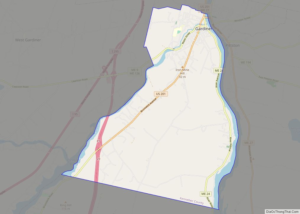
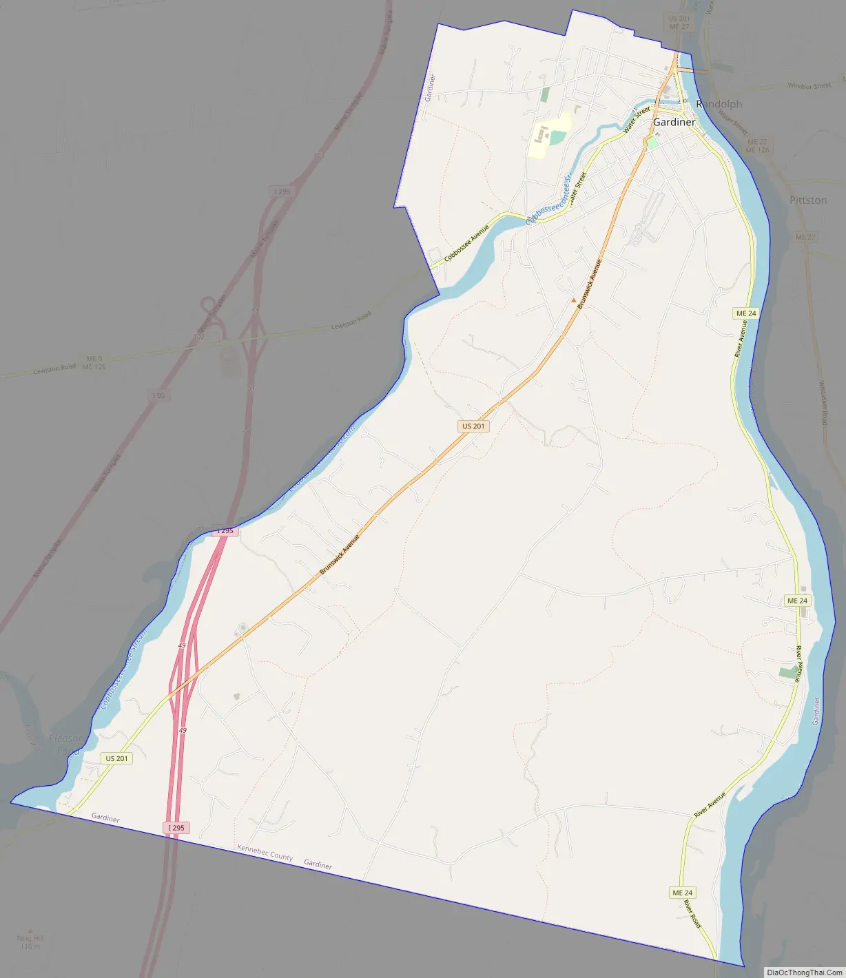
Gardiner Road Map
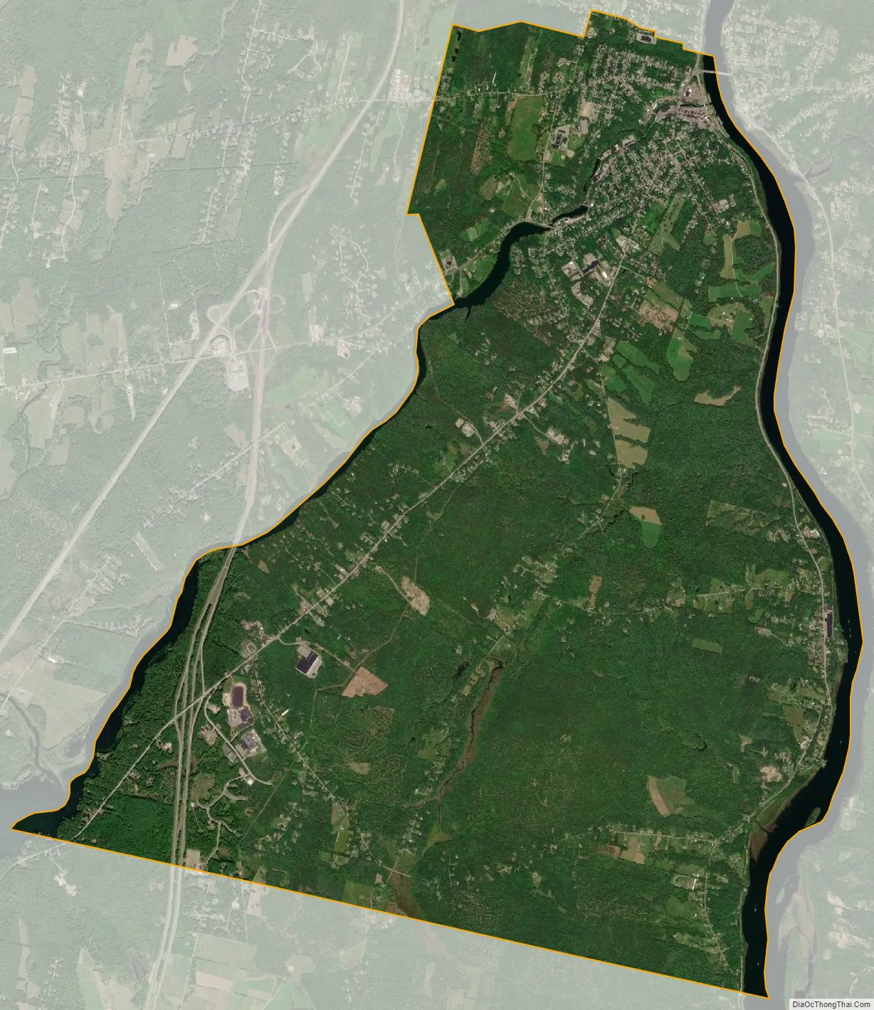
Gardiner city Satellite Map
Geography
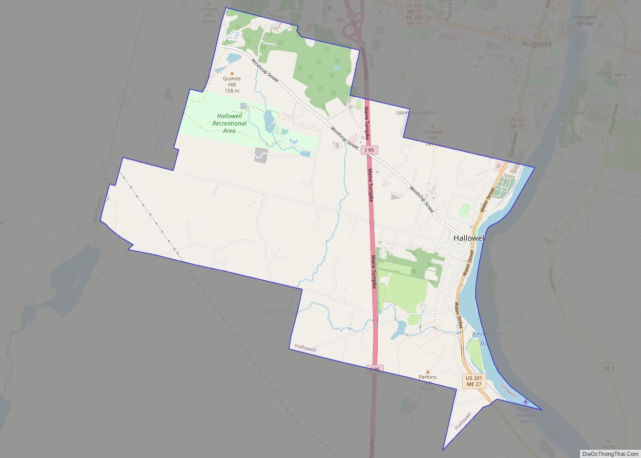
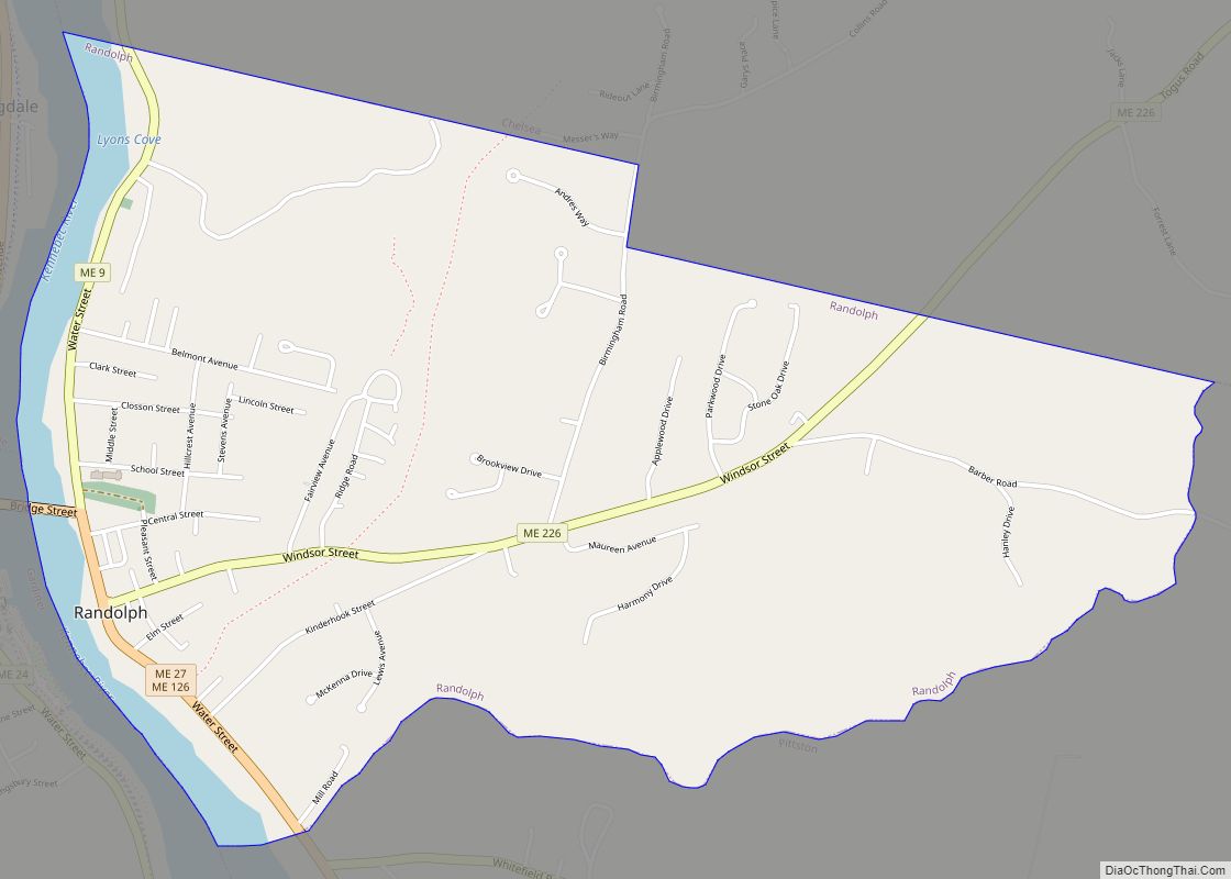
Gardiner is located south of Augusta on the west side of the Kennebec River at the confluence of the Cobbesseeconte Stream. Randolph lies just across the river.
According to the United States Census Bureau, the city has a total area of 16.57 square miles (42.92 km), of which 15.65 square miles (40.53 km) is land and 0.92 square miles (2.38 km) is water.
Climate
This climatic region is typified by large seasonal temperature differences, with warm to hot (and often humid) summers and cold (sometimes severely cold) winters. According to the Köppen Climate Classification system, Gardiner has a humid continental climate, abbreviated “Dfb” on climate maps.
See also
Map of Maine State and its subdivision: Map of other states:- Alabama
- Alaska
- Arizona
- Arkansas
- California
- Colorado
- Connecticut
- Delaware
- District of Columbia
- Florida
- Georgia
- Hawaii
- Idaho
- Illinois
- Indiana
- Iowa
- Kansas
- Kentucky
- Louisiana
- Maine
- Maryland
- Massachusetts
- Michigan
- Minnesota
- Mississippi
- Missouri
- Montana
- Nebraska
- Nevada
- New Hampshire
- New Jersey
- New Mexico
- New York
- North Carolina
- North Dakota
- Ohio
- Oklahoma
- Oregon
- Pennsylvania
- Rhode Island
- South Carolina
- South Dakota
- Tennessee
- Texas
- Utah
- Vermont
- Virginia
- Washington
- West Virginia
- Wisconsin
- Wyoming