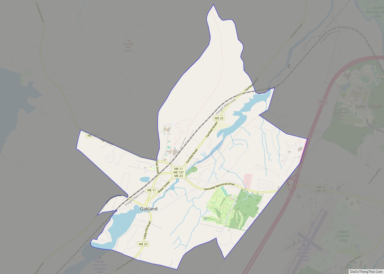
Oakland is a census-designated place (CDP) comprising the main population center in the town of Oakland in Kennebec County, Maine, United States. The population was 2,602 at the 2010 census, out of 6,240 in the entire town of Oakland.
| Name: | Oakland CDP |
|---|---|
| LSAD Code: | 57 |
| LSAD Description: | CDP (suffix) |
| State: | Maine |
| County: | Kennebec County |
| Elevation: | 233 ft (71 m) |
| Total Area: | 5.71 sq mi (14.78 km²) |
| Land Area: | 5.41 sq mi (14.00 km²) |
| Water Area: | 0.30 sq mi (0.78 km²) |
| Total Population: | 2,536 |
| Population Density: | 469.11/sq mi (181.11/km²) |
| ZIP code: | 04963 |
| Area code: | 207 |
| FIPS code: | 2354525 |
| GNISfeature ID: | 0572648 |
Online Interactive Map
Click on ![]() to view map in "full screen" mode.
to view map in "full screen" mode.
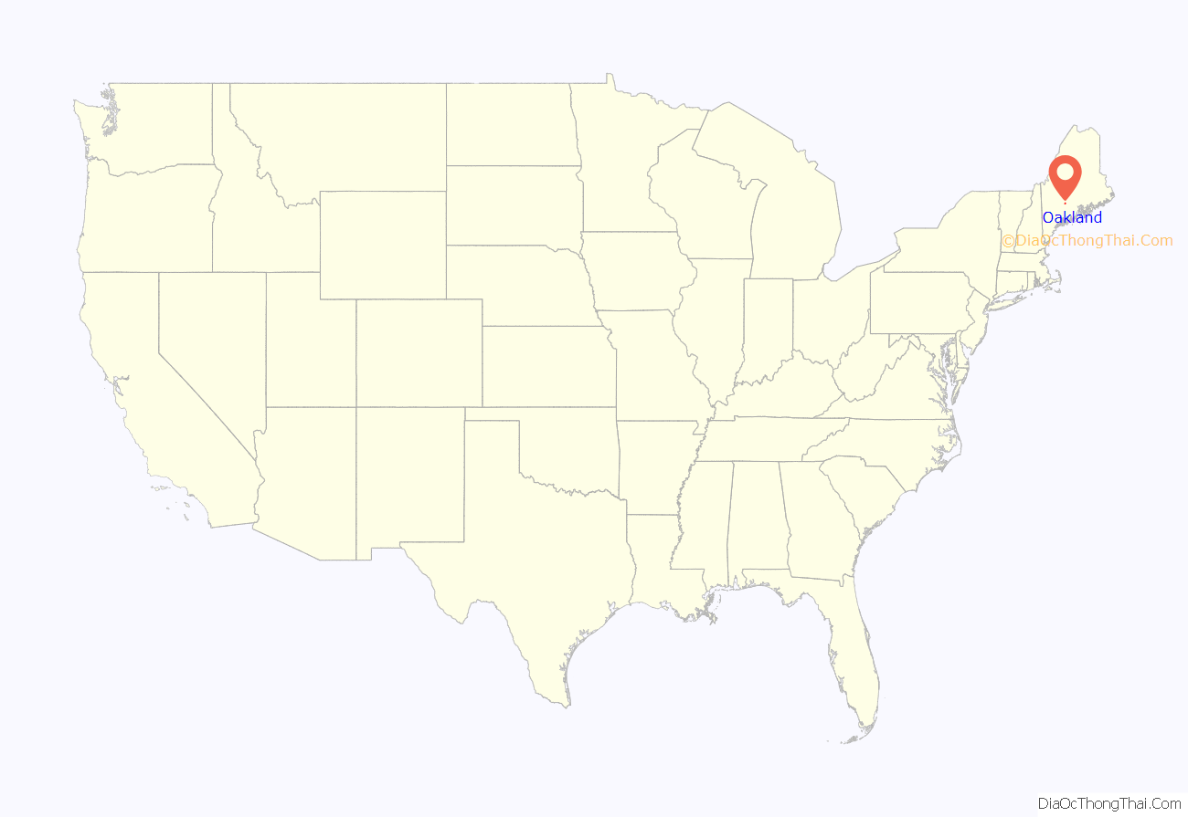
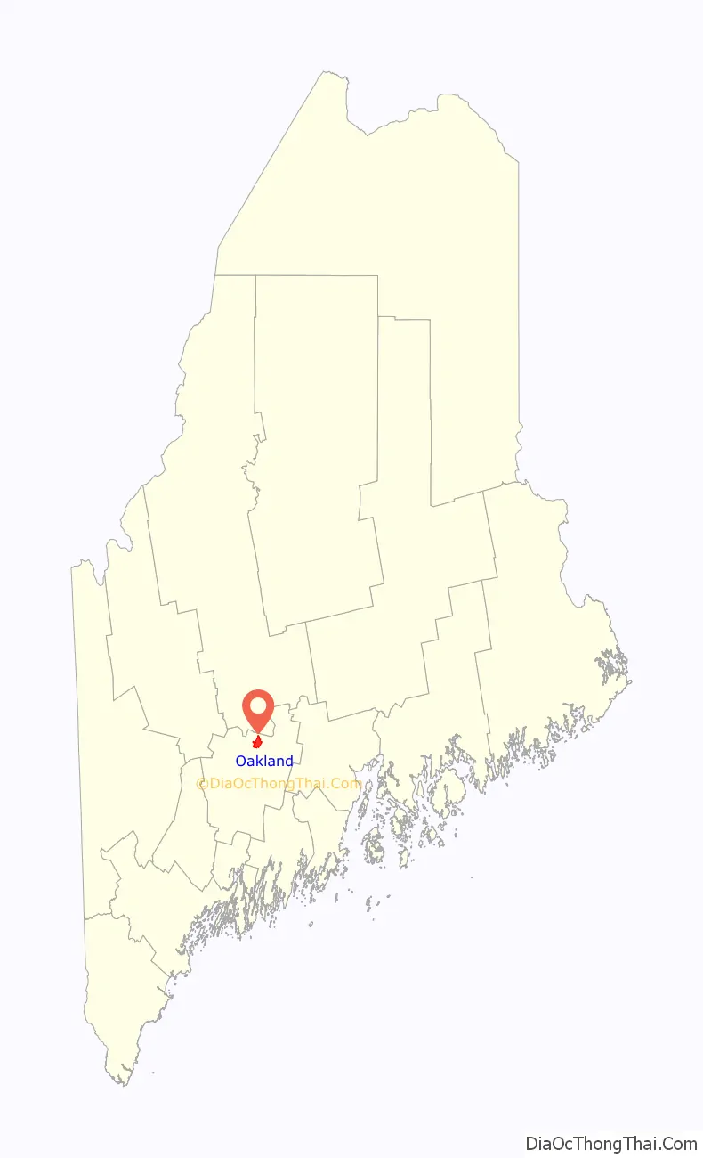
Oakland location map. Where is Oakland CDP?
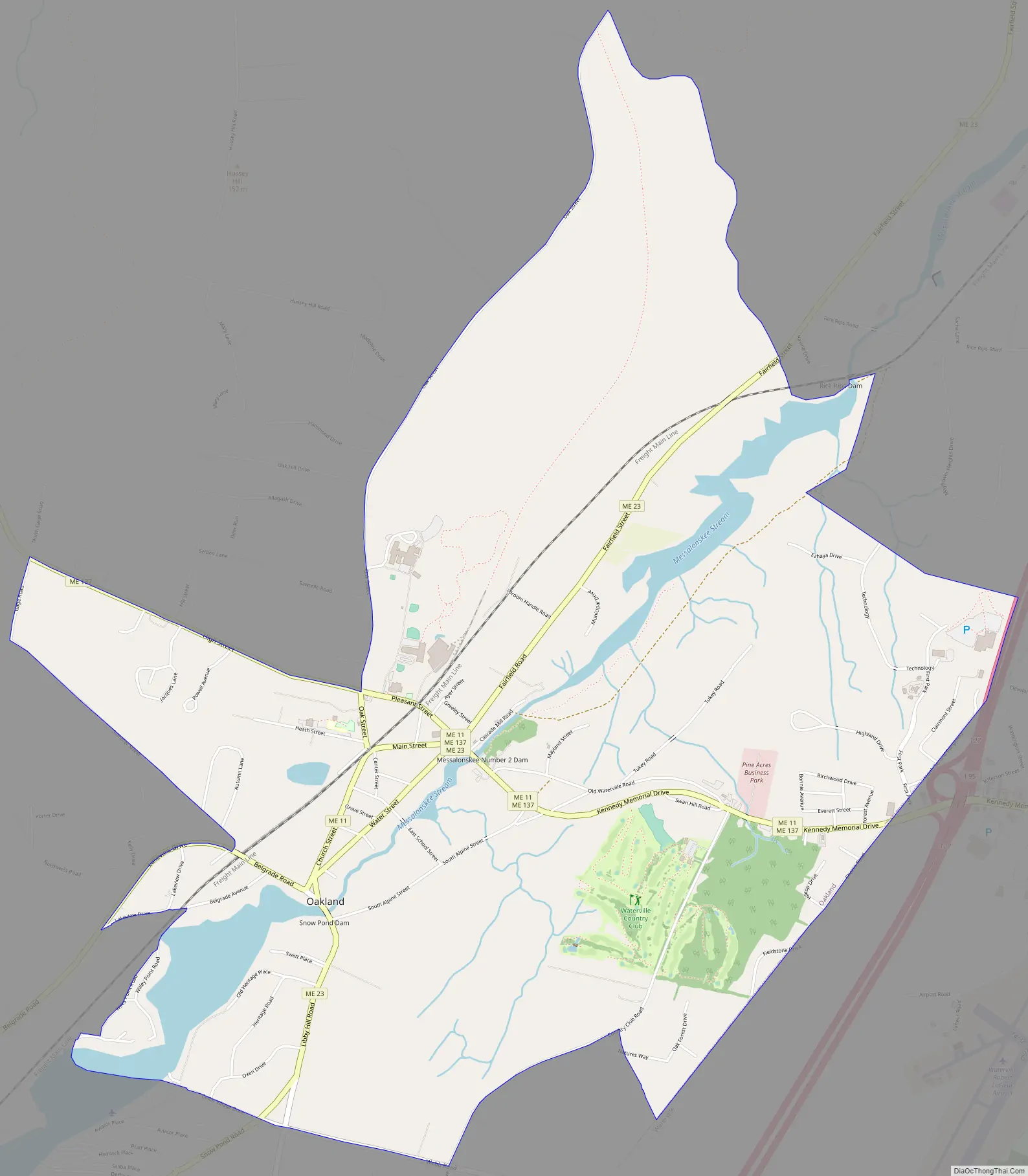
Oakland Road Map
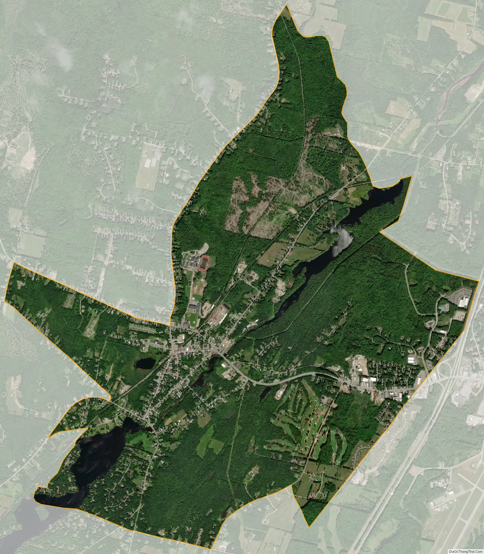
Oakland city Satellite Map
Geography
The CDP is in northern Kennebec County, in the eastern part of the town of Oakland at 44°32′25″N 69°43′19″W / 44.54028°N 69.72194°W / 44.54028; -69.72194. It sits along Messalonskee Stream at the outlet of Messalonskee Lake. The village center is on the north side of the stream, but developed land exists on both sides. The CDP extends east to the Waterville city line, north to Red Brook, a west-side tributary of Messalonskee Stream, west to Ten Oaks Road, South Gage Road, and Wiley Point Road, and south to Webb Road.
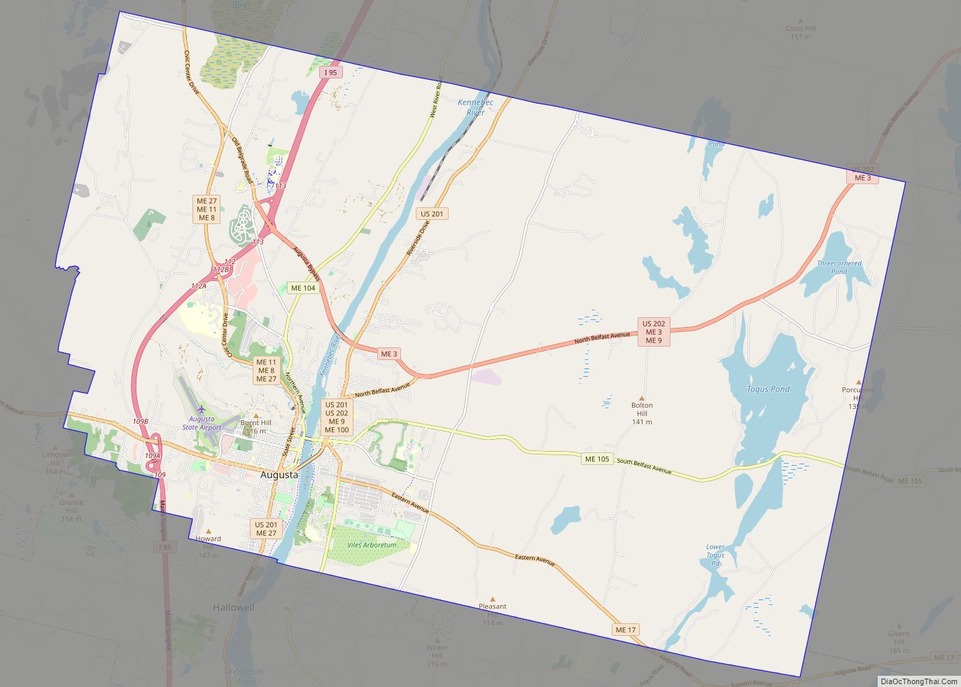
Maine State Route 23 passes north-south through the community, and Maine State Route 137 passes through east-west, crossing Route 23 in the village center. Maine State Route 11 enters from the southwest and exits to the east with Route 137. Interstate 95 passes just to the east, with access from Exit 127 (Routes 11 and 137). I-95 leads northeast 58 miles (93 km) to Bangor and south 18 miles (29 km) to Augusta, the state capital. Downtown Waterville is 4 miles (6 km) to the east of Oakland via Routes 11 and 137.
According to the United States Census Bureau, the Oakland CDP has a total area of 5.7 square miles (14.8 km), of which 5.4 square miles (14.0 km) are land and 0.31 square miles (0.8 km), or 5.25%, are water. Messalonskee Stream is a northeast-flowing tributary of the Kennebec River.
See also
Map of Maine State and its subdivision: Map of other states:- Alabama
- Alaska
- Arizona
- Arkansas
- California
- Colorado
- Connecticut
- Delaware
- District of Columbia
- Florida
- Georgia
- Hawaii
- Idaho
- Illinois
- Indiana
- Iowa
- Kansas
- Kentucky
- Louisiana
- Maine
- Maryland
- Massachusetts
- Michigan
- Minnesota
- Mississippi
- Missouri
- Montana
- Nebraska
- Nevada
- New Hampshire
- New Jersey
- New Mexico
- New York
- North Carolina
- North Dakota
- Ohio
- Oklahoma
- Oregon
- Pennsylvania
- Rhode Island
- South Carolina
- South Dakota
- Tennessee
- Texas
- Utah
- Vermont
- Virginia
- Washington
- West Virginia
- Wisconsin
- Wyoming