Old Orchard Beach is a resort town and census-designated place (CDP) in York County, Maine, United States. The population was 8,960 at the 2020 census. It is part of the Portland−South Portland−Biddeford, Maine Metropolitan Statistical Area.
Located on the inner side of Saco Bay on the Atlantic Ocean, the town is a popular seaside resort. The downtown contains many tourist-oriented businesses, including clam shacks and T-shirt shops. A wooden pier on the beach contains many other tourist businesses, including a variety of souvenir shops. The seven mile (11 km) long beach actually covers three different towns (Scarborough, Old Orchard Beach, and Saco, north to south), and is lined with many beach residential properties, condominiums, motels and bed and breakfasts.
| Name: | Old Orchard Beach CDP |
|---|---|
| LSAD Code: | 57 |
| LSAD Description: | CDP (suffix) |
| State: | Maine |
| County: | York County |
| Incorporated: | February 20, 1883 |
| Elevation: | 80 ft (31 m) |
| Total Area: | 22.53 sq mi (58.35 km²) |
| Land Area: | 7.43 sq mi (19.24 km²) |
| Water Area: | 15.10 sq mi (39.11 km²) |
| Total Population: | 8,960 |
| Population Density: | 1,206/sq mi (465.7/km²) |
| ZIP code: | 04064 |
| Area code: | Area code 207 |
| FIPS code: | 2355120 |
| GNISfeature ID: | 0582647 |
| Website: | www.oobmaine.com |
Online Interactive Map
Click on ![]() to view map in "full screen" mode.
to view map in "full screen" mode.
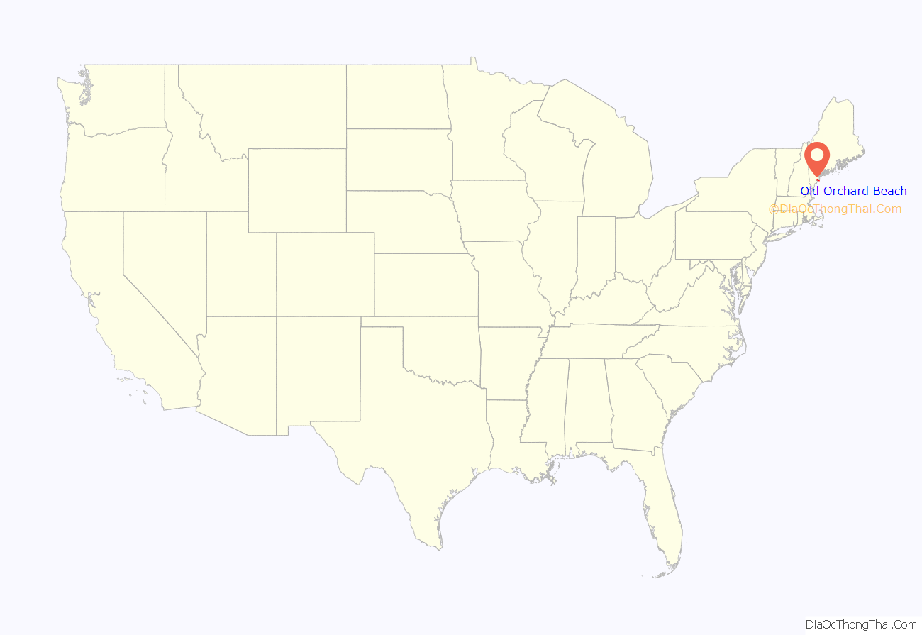
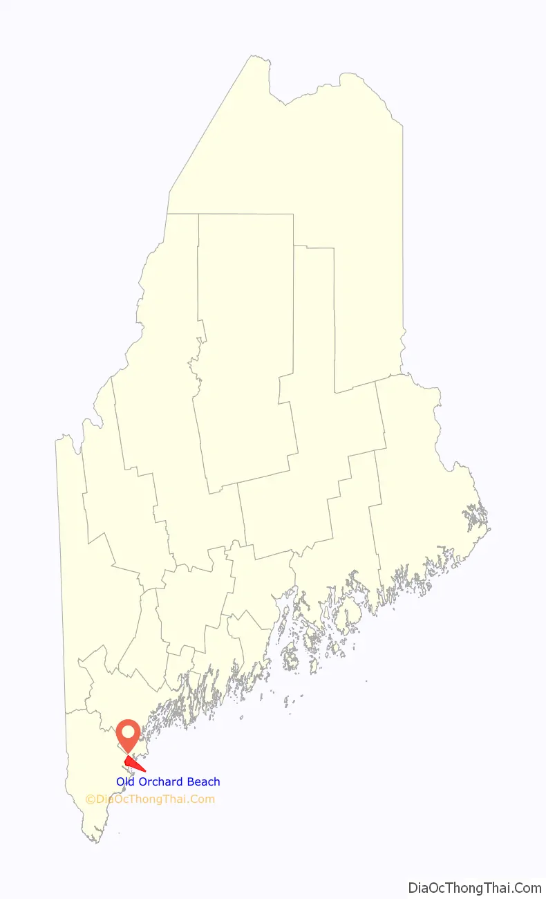
Old Orchard Beach location map. Where is Old Orchard Beach CDP?
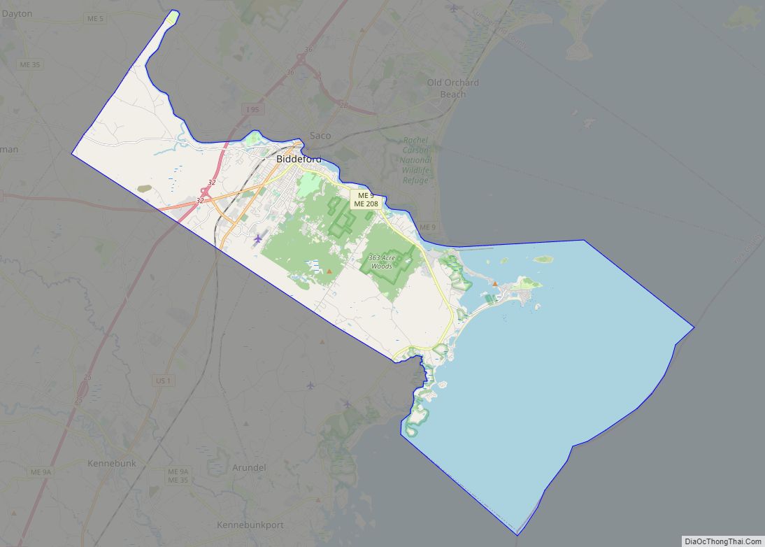
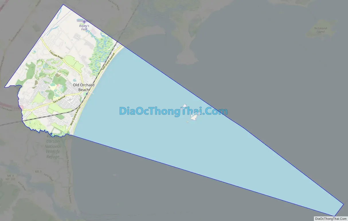
Old Orchard Beach Road Map
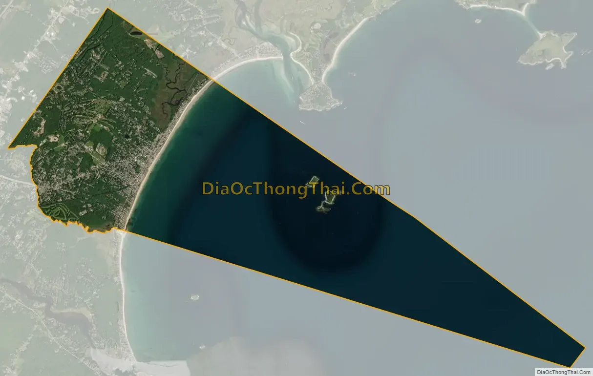
Old Orchard Beach city Satellite Map
Geography
Old Orchard Beach is located on the Southern Maine Coast. It is bounded by Saco Bay to the east, Scarborough to the northeast, and Saco on all other sides.
According to the United States Census Bureau, the town has a total area of 22.53 square miles (58.35 km), of which 7.43 square miles (19.24 km) of it is land and 15.10 square miles (39.11 km) is water.
During summer months, Amtrak’s Downeaster train stops at Old Orchard Beach station with service to the Portland Transportation Center and Boston’s North Station.
See also
Map of Maine State and its subdivision: Map of other states:- Alabama
- Alaska
- Arizona
- Arkansas
- California
- Colorado
- Connecticut
- Delaware
- District of Columbia
- Florida
- Georgia
- Hawaii
- Idaho
- Illinois
- Indiana
- Iowa
- Kansas
- Kentucky
- Louisiana
- Maine
- Maryland
- Massachusetts
- Michigan
- Minnesota
- Mississippi
- Missouri
- Montana
- Nebraska
- Nevada
- New Hampshire
- New Jersey
- New Mexico
- New York
- North Carolina
- North Dakota
- Ohio
- Oklahoma
- Oregon
- Pennsylvania
- Rhode Island
- South Carolina
- South Dakota
- Tennessee
- Texas
- Utah
- Vermont
- Virginia
- Washington
- West Virginia
- Wisconsin
- Wyoming