Westbrook is a city in Cumberland County, Maine, United States and a suburb of Portland. The population was 20,400 at the 2020 census, making it the fastest-growing city in Maine between 2010 and 2020. It is part of the Portland–South Portland–Biddeford, Maine metropolitan statistical area.
| Name: | Westbrook city |
|---|---|
| LSAD Code: | 25 |
| LSAD Description: | city (suffix) |
| State: | Maine |
| County: | Cumberland County |
| Incorporated: | 1814 |
| Elevation: | 75 ft (23 m) |
| Total Area: | 17.36 sq mi (44.96 km²) |
| Land Area: | 17.19 sq mi (44.52 km²) |
| Water Area: | 0.17 sq mi (0.44 km²) |
| Total Population: | 20,400 |
| Population Density: | 1,186.81/sq mi (458.23/km²) |
| ZIP code: | 04092, 04098 |
| Area code: | 207 |
| FIPS code: | 2382105 |
| GNISfeature ID: | 0578237 |
| Website: | www.westbrookmaine.com |
Online Interactive Map
Click on ![]() to view map in "full screen" mode.
to view map in "full screen" mode.
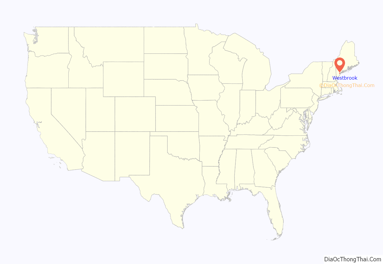
Westbrook location map. Where is Westbrook city?

History
Originally known as Saccarappa after Saccarappa Falls on the Presumpscot River, it was a part of Falmouth until February 14, 1814, when it was set off and incorporated as Stroudwater. It soon changed its name to Westbrook after Colonel Thomas Westbrook, a commander during Father Rale’s War and King’s mast agent who was an early settler and mill operator. In 1871, the town of Westbrook amicably split into two municipalities; the current Westbrook and Deering, which was then annexed by Portland in 1898. In 1891, Westbrook was incorporated as a city.
Saccarappa Falls and Congin Falls provided water power for early mills within the city. In 1829, a sawmill was built at the former which made the mill town noted for its lumber. Other industries followed, manufacturing grain bags, machinery and water wheels, carriage and harness, boots, shoes and moccasins, tinware, leather board, bricks, wooden boxes, box shook, meal and flour. The Portland Manufacturing Company built a cotton textile mill at Saccarappa Falls for making “sheetings, stripes and ducks.” A paper mill was built at Cumberland Mills, once an Indian planting ground known as Ammoncongin. By 1859, it produced 1,000 tons of paper annually. In 1867, the factory’s name would change to the S. D. Warren Paper Mill.
The Cumberland and Oxford Canal opened in 1832, connecting Portland to Harrison by way of Westbrook and Sebago Lake. It was the primary commercial shipping route for goods until 1871, when it was rendered obsolete by the Portland and Ogdensburg Railroad. Remnants of the canal can still be seen throughout the city, including Beaver Pond, along Stroudwater Street near the Maine Turnpike overpass, and in the woods between Westbrook High School and Oxford-Cumberland Canal Elementary School. In 1885, the city opened Woodlawn Cemetery, the largest cemetery and newest burial grounds in the municipality.
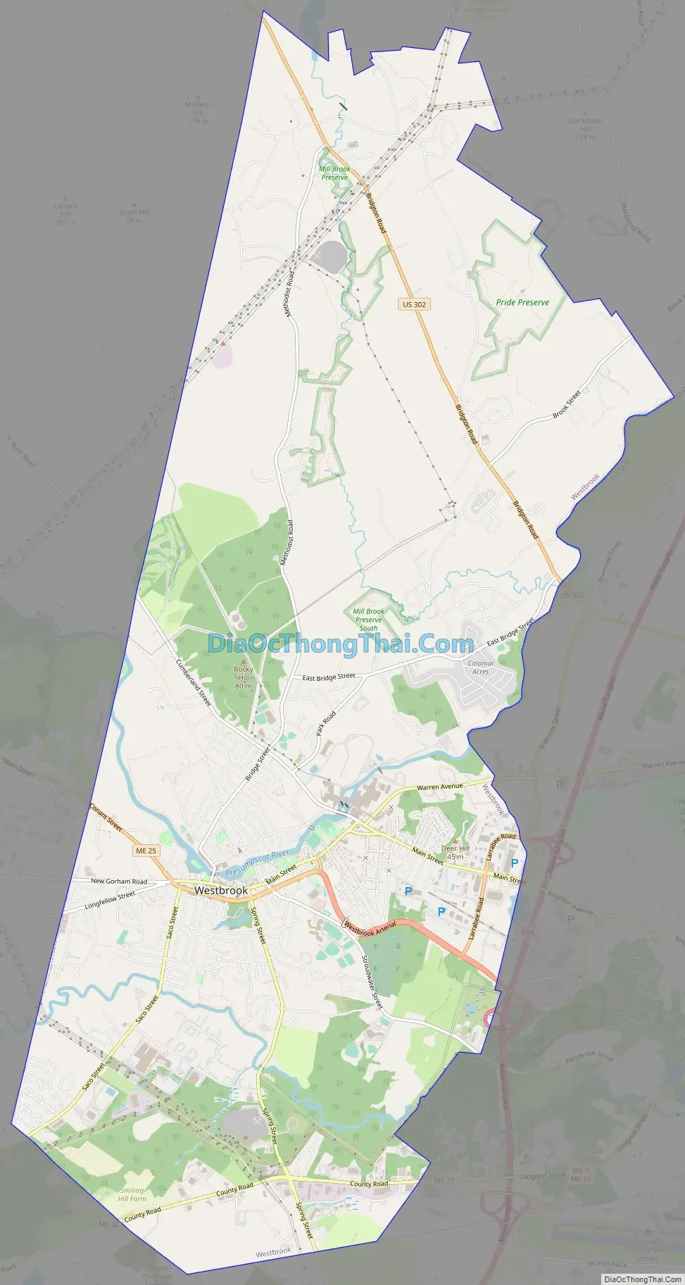
Westbrook Road Map
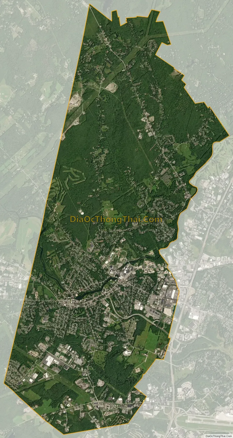
Westbrook city Satellite Map
Geography
Westbrook is located at 43°41′7″N 70°21′26″W / 43.68528°N 70.35722°W / 43.68528; -70.35722 (43.685348, −70.357116).
According to the United States Census Bureau, the city has a total area of 17.33 square miles (44.88 km), of which, 17.12 square miles (44.34 km) is land and 0.21 square miles (0.54 km) is water.
Bodies of water
Westbrook is drained primarily by two rivers. The Presumpscot River flows through the center of the city, with two prominent falls (the aforementioned Saccarappa Falls and Congin Falls). The smaller Stroudwater River flows through the southwestern part of the city. The city also contains part of Highland Lake.
Roads and bordering
Westbrook is served by Interstate 95, U.S. Route 302 and State Routes 22 and 25. State Route 25 has a business route, Route 25 business, which is concurrent with Main Street. It is bordered by Portland to the east, South Portland and Scarborough to the south, Gorham and Windham to the west, and Falmouth to the north.
Ice disk
In January 2019, a naturally-occurring ice disk measuring about 100 yards across formed on the Presumpscot River. The unusual formation briefly drew international social media and press attention, and boosted tourism to Westbrook.
See also
Map of Maine State and its subdivision: Map of other states:- Alabama
- Alaska
- Arizona
- Arkansas
- California
- Colorado
- Connecticut
- Delaware
- District of Columbia
- Florida
- Georgia
- Hawaii
- Idaho
- Illinois
- Indiana
- Iowa
- Kansas
- Kentucky
- Louisiana
- Maine
- Maryland
- Massachusetts
- Michigan
- Minnesota
- Mississippi
- Missouri
- Montana
- Nebraska
- Nevada
- New Hampshire
- New Jersey
- New Mexico
- New York
- North Carolina
- North Dakota
- Ohio
- Oklahoma
- Oregon
- Pennsylvania
- Rhode Island
- South Carolina
- South Dakota
- Tennessee
- Texas
- Utah
- Vermont
- Virginia
- Washington
- West Virginia
- Wisconsin
- Wyoming