York Harbor is a census-designated place (CDP) in the town of York in York County, Maine, United States. The population was 3,033 at the 2010 census. York Harbor is a distinguished former Gilded Age summer colony noted for its resort architecture. It is part of the Portland–South Portland–Biddeford, Maine Metropolitan Statistical Area.
| Name: | York Harbor CDP |
|---|---|
| LSAD Code: | 57 |
| LSAD Description: | CDP (suffix) |
| State: | Maine |
| County: | York County |
| Elevation: | 46 ft (14 m) |
| Total Area: | 3.49 sq mi (9.05 km²) |
| Land Area: | 3.21 sq mi (8.30 km²) |
| Water Area: | 0.29 sq mi (0.75 km²) |
| Total Population: | 3,132 |
| Population Density: | 976.92/sq mi (377.22/km²) |
| ZIP code: | 03910-03911 |
| Area code: | 207 |
| FIPS code: | 2388160 |
| GNISfeature ID: | 0578771 |
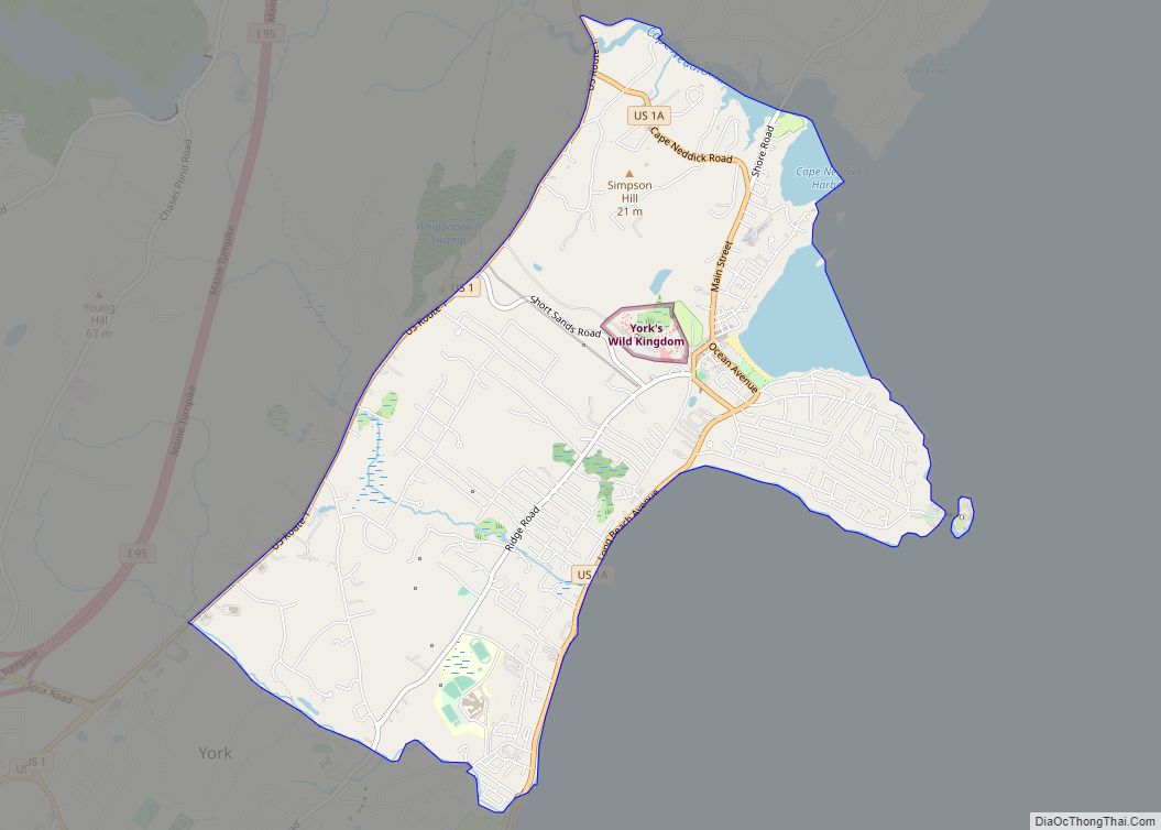
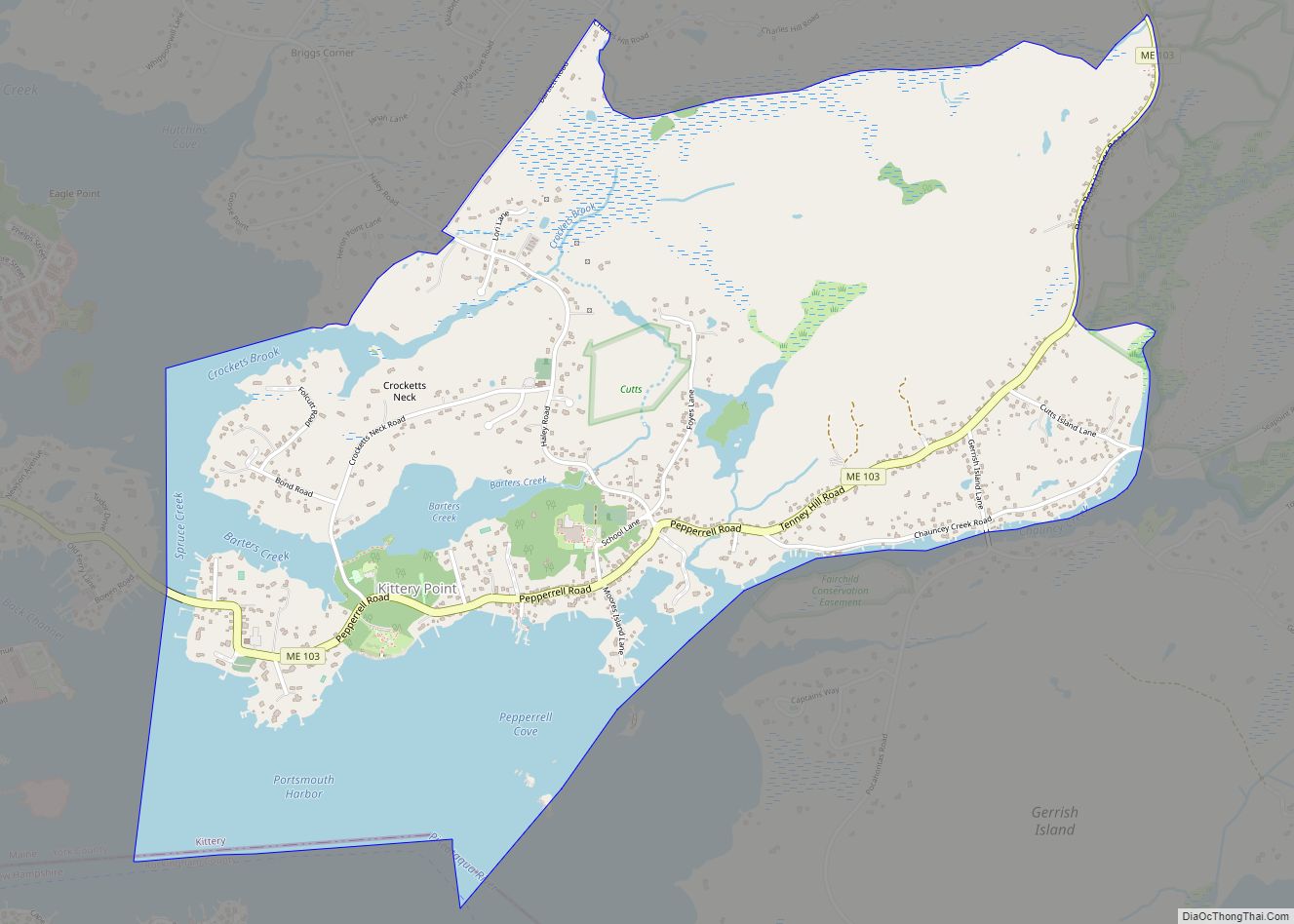
Online Interactive Map
Click on ![]() to view map in "full screen" mode.
to view map in "full screen" mode.
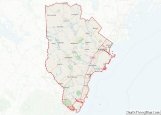
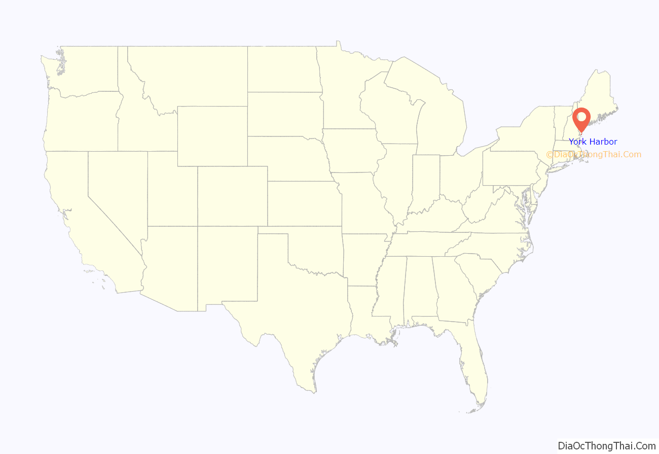
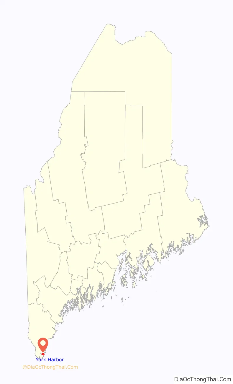
York Harbor location map. Where is York Harbor CDP?
History
York was a prosperous seaport in the 18th century. Its harbor, then known as Lower Town, was lined with wharves and warehouses to which upriver settlers brought their goods for trade and shipping. The tongue of land at the mouth of the York River was called Gallows Point, where criminals at Old York Gaol in York Village were hanged. At high tide the tongue became an island, from which a ferry licensed in 1652 crossed to Seabury.
During the American Revolution, fishermen and their families abandoned the Isles of Shoals off the coast and floated their homes to the Lower Town waterfront, where they were rebuilt. They hauled their boats at Lobster Cove and dried their catch on fish flakes, after which the tongue would be named Stage Neck. In 1807, President Thomas Jefferson’s embargo crippled local mercantile trade, and by the Civil War, Stage Neck had deteriorated into a ramshackle slum.
After the Union victory, Nathaniel Grant Marshall (1812-1882), a lawyer, had a vision to convert the poorest section of Lower Town into a first-class summer emporium for wealthy tourists. He bought Stage Neck, razed the fishermen’s shacks and in 1871 built a grand hotel called the Marshall House. As part of its upgrade, Lower Town was renamed York Harbor. Steamers began arriving with families drawn to the Maine shore from the heat and pollution in Boston, New York, Chicago, Philadelphia and Baltimore. Many liked the area enough to build summer mansions, characteristically in the Shingle Style, during the 1880-1890 boom. Soon York Harbor joined Bar Harbor and Newport as fashionable East Coast summer destinations.
Competing hotels were built, including Harmon Hall and the Albracca Hotel. But the Marshall House was the largest, accommodating 325 guests by 1900. It offered telephone and telegraph offices, a livery stable, riding and bathing facilities, tennis courts, barbershop, billiards room, ballroom, sailing, fishing excursions and canoes for picnics up the York River. The Marshalls started both an electric and water company, and headed the effort to build the York Harbor & Beach Railroad, opened in 1887.
When the Marshall House burned in 1916, it was rebuilt in fire-resistant brick the following year to designs by noted Portland architect John Calvin Stevens. It resumed its role as the center of York Harbor social life. At its porte-cochère, chauffeur-driven limousines from the estates deposited their owners in evening gowns and tuxedoes, to be joined by hotel patrons for dinner at 7:30 p.m. Post-prandial entertainments included chamber music by a Boston Symphony ensemble in the lobby, or Saturday dancing and costume parties in the ballroom.
But a rift grew between York Harbor and York Beach further up the coast, which catered to the less affluent. The former disapproved of the latter’s “cottage and campground” philosophy, and tried to prevent the trolley connecting the two. In 1908, York Harbor proposed secession from York, first as a new town called Yorktown, then as Gorges after Sir Ferdinando Gorges, the early proprietor of Maine. Because the split would have deprived remaining York of much of real value within the community, including the town hall, it failed and The Yorks reconciled.
Development here began in the 1870s and virtually ended in the 1920s, leaving York Harbor a microcosm of period resort architecture, now converted for year-round use. The Marshall House was sold in 1957 and demolished in 1972, to be replaced with condominiums and the Stage Neck Inn (designed by Sasaki, Dawson, DeMay Associates). However, the York community retains a wealth of Second Empire, Shingle Style, Mission Revival and Colonial Revival architecture. Of particular note are the Lancaster Building designed by E. B. Blaisdell and built in 1895, Trinity Episcopal Church designed by H. J. Hardenbergh and built in 1908, and the York Harbor Reading Room designed by James Purdon and built in 1910. The Cliff Walk, an ancient shoreline path lined with beach roses, winds along Eastern Point ledges above the surf.
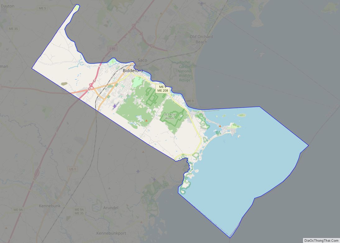
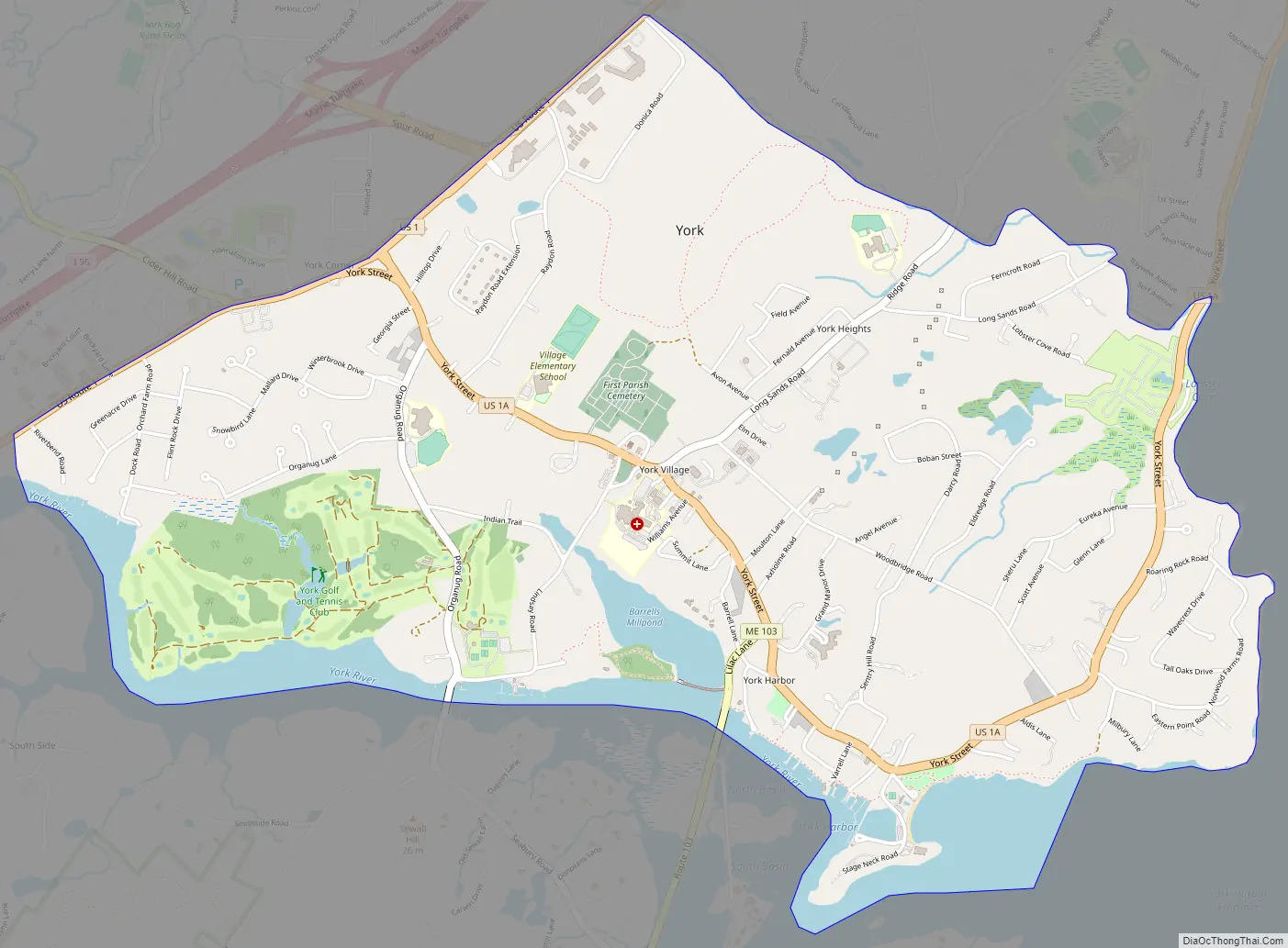
York Harbor Road Map
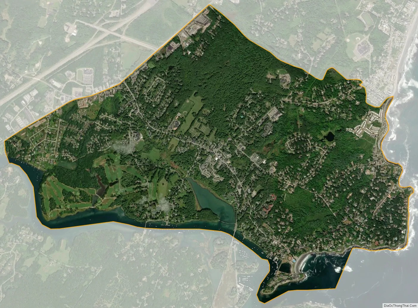
York Harbor city Satellite Map
Geography
York Harbor is located at 43°8′33″N 70°38′50″W / 43.14250°N 70.64722°W / 43.14250; -70.64722 (43.142573, -70.647106). The York Harbor CDP extends westward to include all of York Village as well. The western boundary of the CDP is U.S. Route 1, the southern boundary is the York River, and the northern boundary abuts the southern edge of the Cape Neddick CDP, more commonly known as York Beach. The Gulf of Maine, an arm of the Atlantic Ocean, forms the eastern edge of the community.
According to the United States Census Bureau, the CDP has a total area of 3.5 square miles (9.1 km), of which 3.2 square miles (8.3 km) is land and 0.3 square miles (0.78 km), or 8.23%, is water.
See also
Map of Maine State and its subdivision: Map of other states:- Alabama
- Alaska
- Arizona
- Arkansas
- California
- Colorado
- Connecticut
- Delaware
- District of Columbia
- Florida
- Georgia
- Hawaii
- Idaho
- Illinois
- Indiana
- Iowa
- Kansas
- Kentucky
- Louisiana
- Maine
- Maryland
- Massachusetts
- Michigan
- Minnesota
- Mississippi
- Missouri
- Montana
- Nebraska
- Nevada
- New Hampshire
- New Jersey
- New Mexico
- New York
- North Carolina
- North Dakota
- Ohio
- Oklahoma
- Oregon
- Pennsylvania
- Rhode Island
- South Carolina
- South Dakota
- Tennessee
- Texas
- Utah
- Vermont
- Virginia
- Washington
- West Virginia
- Wisconsin
- Wyoming