Hooksett is a census-designated place (CDP) in the town of Hooksett in Merrimack County, New Hampshire, United States. The CDP includes the historic central village of Hooksett as well as suburban and rural land surrounding it. The population of the CDP was 5,283 at the 2020 census, out of 14,871 in the entire town.
| Name: | Hooksett CDP |
|---|---|
| LSAD Code: | 57 |
| LSAD Description: | CDP (suffix) |
| State: | New Hampshire |
| County: | Merrimack County |
| Elevation: | 210 ft (60 m) |
| Total Area: | 5.84 sq mi (15.13 km²) |
| Land Area: | 5.40 sq mi (13.98 km²) |
| Water Area: | 0.44 sq mi (1.15 km²) |
| Total Population: | 5,283 |
| Population Density: | 978.51/sq mi (377.83/km²) |
| ZIP code: | 03106 |
| Area code: | 603 |
| FIPS code: | 3337220 |
| GNISfeature ID: | 2378073 |
Online Interactive Map
Click on ![]() to view map in "full screen" mode.
to view map in "full screen" mode.
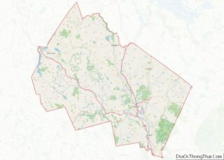
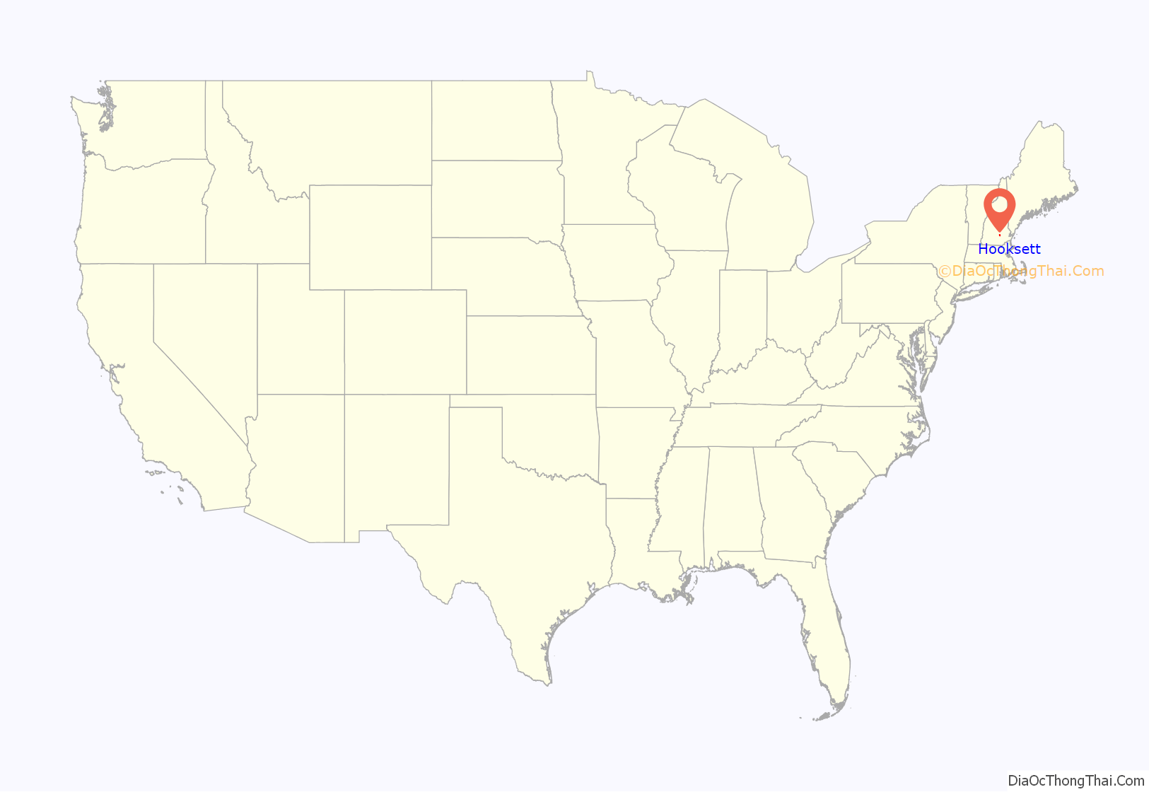
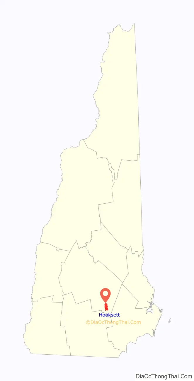
Hooksett location map. Where is Hooksett CDP?
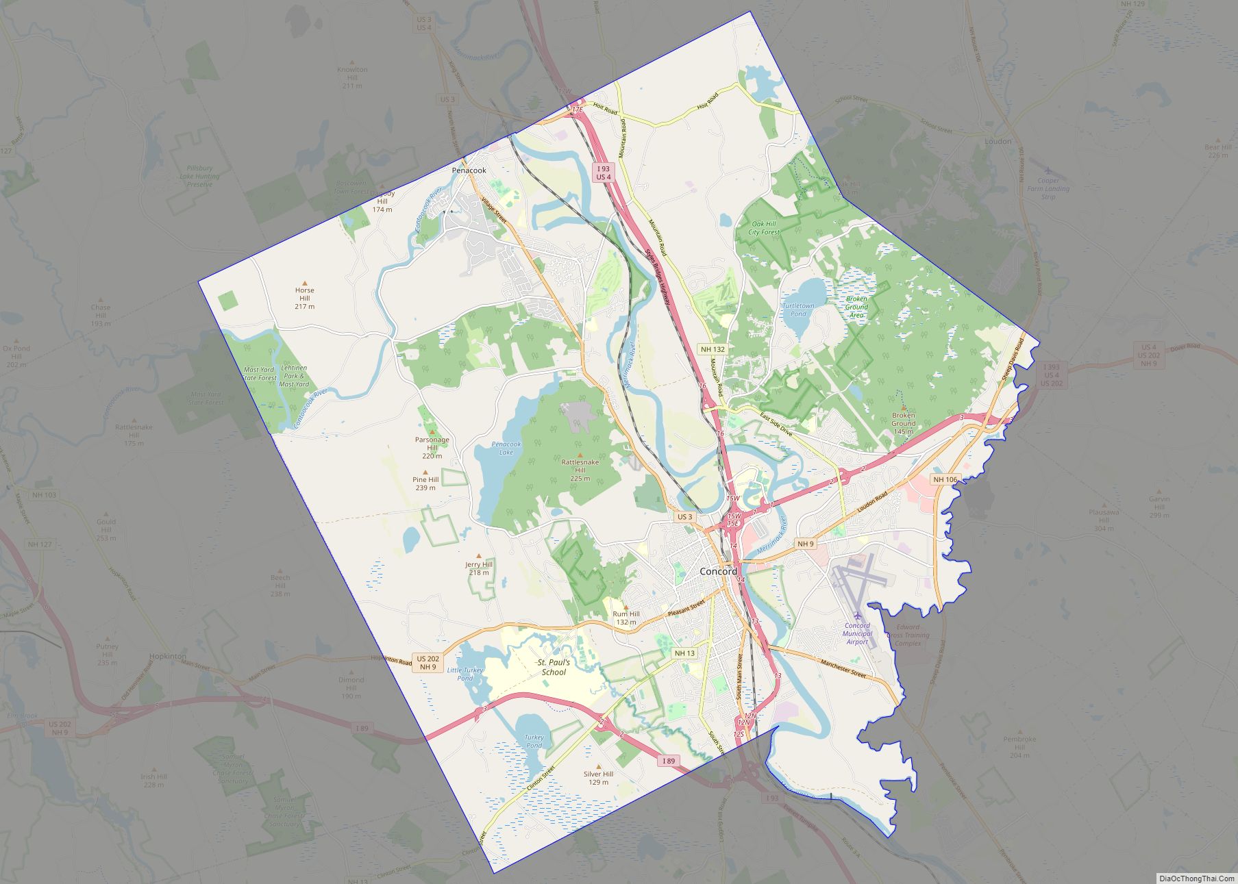
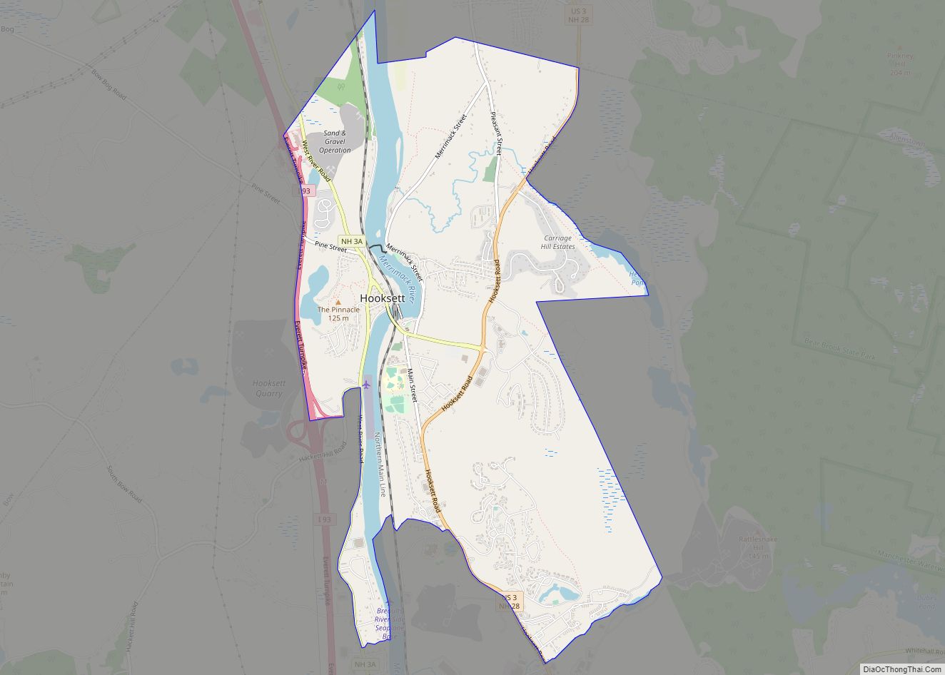
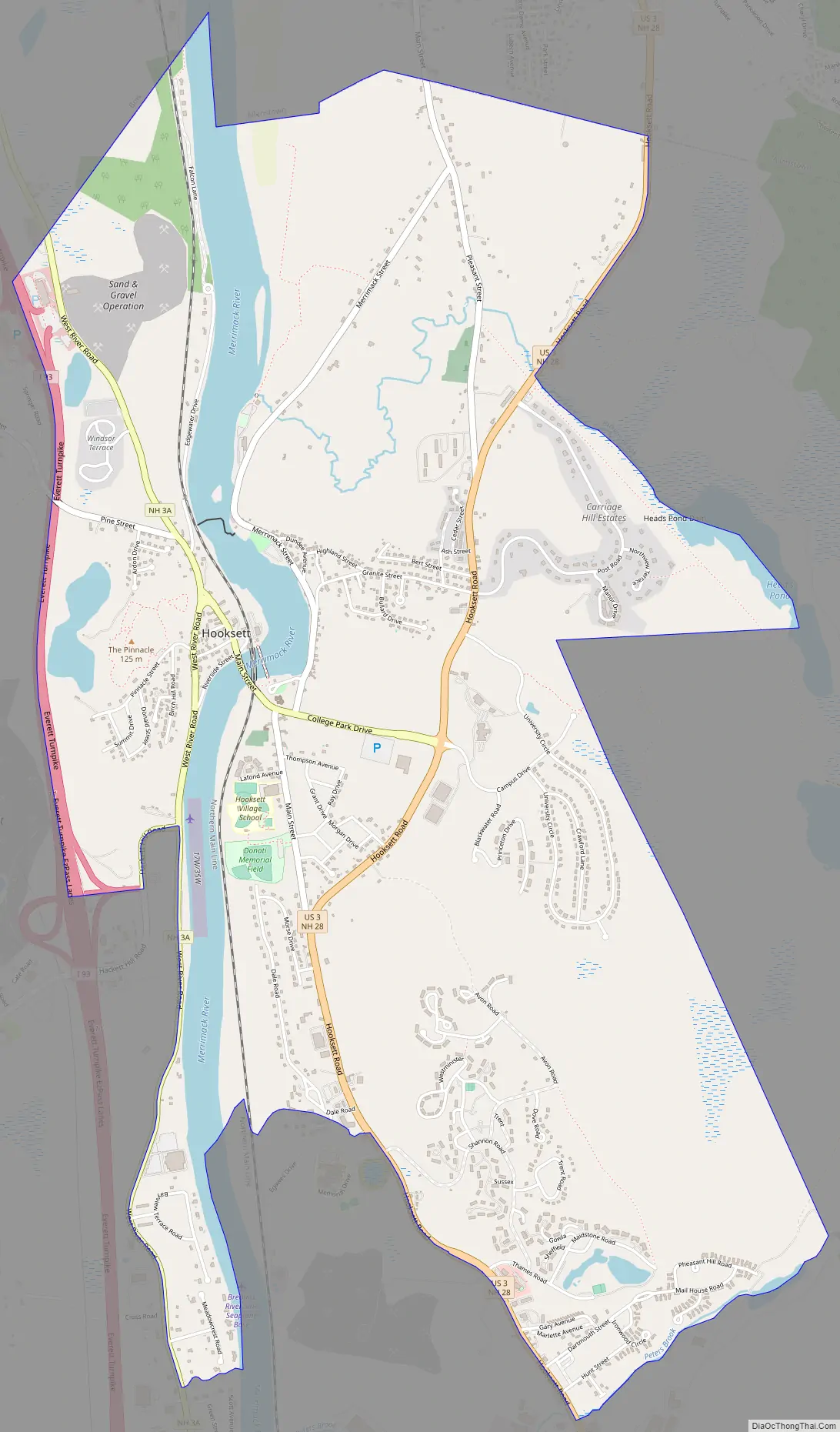
Hooksett Road Map
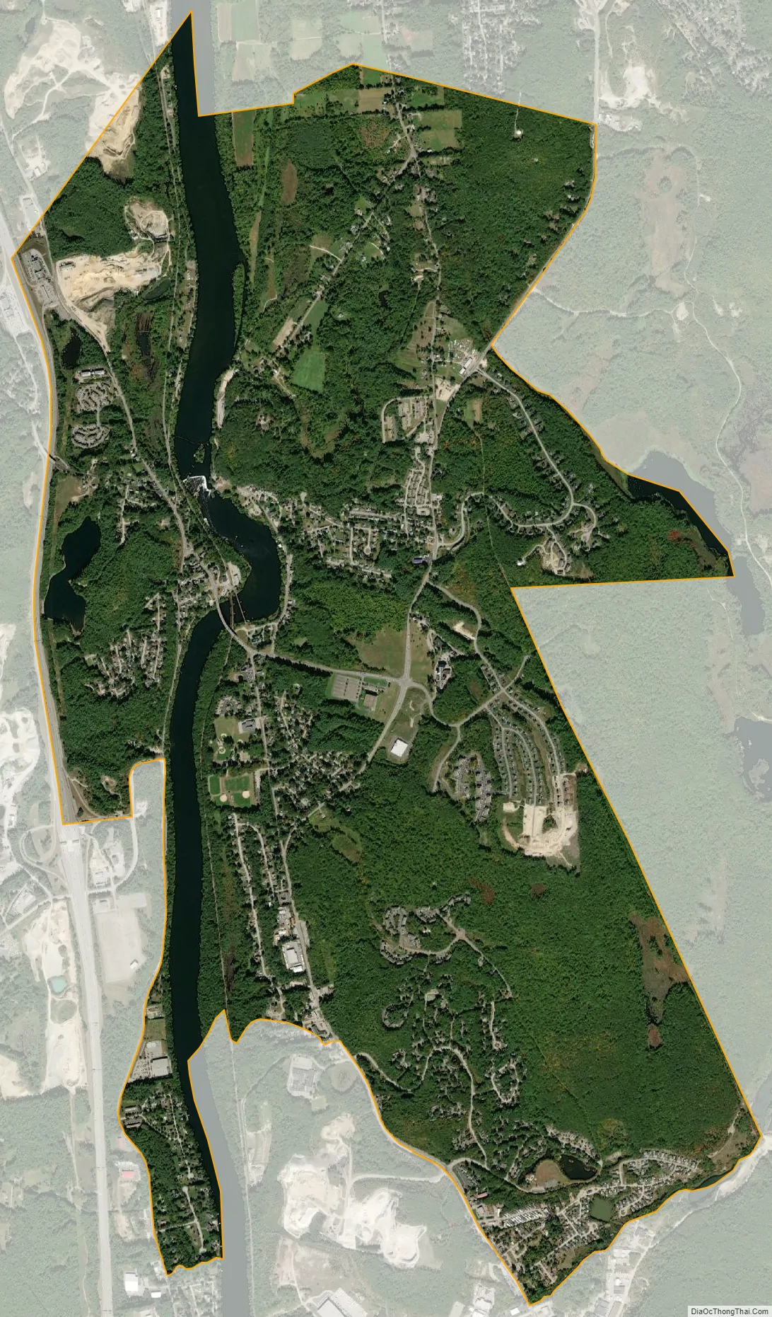
Hooksett city Satellite Map
Geography
The CDP occupies the central to northern parts of the town of Hooksett, on both sides of the Merrimack River. The village of Hooksett is at the center of the CDP, where Main Street crosses the Merrimack. The CDP extends north to the Bow and Allenstown town lines and south to include the Granite Hill Villages housing development. Interstate 93 forms the western edge of the CDP, with access from Exit 11 at the Hooksett toll plaza, and U.S. Route 3 runs through the eastern side. New Hampshire Route 3A passes through the center of the CDP along the west side of the Merrimack River. Hooksett is bordered to the north by the Suncook CDP in the town of Allenstown.
Concord, the state capital, is 9 miles (14 km) to the north via I-93 or NH 3A and 10 miles (16 km) to the north via US 3, while Manchester, the largest city in the state, is 8 miles (13 km) to the south.
According to the U.S. Census Bureau, the Hooksett CDP has a total area of 5.8 square miles (15.1 km), of which 5.4 square miles (14.0 km) are land and 0.4 square miles (1.1 km), or 7.60%, are water.
See also
Map of New Hampshire State and its subdivision: Map of other states:- Alabama
- Alaska
- Arizona
- Arkansas
- California
- Colorado
- Connecticut
- Delaware
- District of Columbia
- Florida
- Georgia
- Hawaii
- Idaho
- Illinois
- Indiana
- Iowa
- Kansas
- Kentucky
- Louisiana
- Maine
- Maryland
- Massachusetts
- Michigan
- Minnesota
- Mississippi
- Missouri
- Montana
- Nebraska
- Nevada
- New Hampshire
- New Jersey
- New Mexico
- New York
- North Carolina
- North Dakota
- Ohio
- Oklahoma
- Oregon
- Pennsylvania
- Rhode Island
- South Carolina
- South Dakota
- Tennessee
- Texas
- Utah
- Vermont
- Virginia
- Washington
- West Virginia
- Wisconsin
- Wyoming