South Hooksett is a census-designated place (CDP) within the town of Hooksett in Merrimack County, New Hampshire, United States. The population was 5,888 at the 2020 census. It is a suburban area adjacent to the city of Manchester, New Hampshire’s largest city, and includes a mix of housing developments and large retail stores.
| Name: | South Hooksett CDP |
|---|---|
| LSAD Code: | 57 |
| LSAD Description: | CDP (suffix) |
| State: | New Hampshire |
| County: | Merrimack County |
| Elevation: | 443 ft (135 m) |
| Total Area: | 6.75 sq mi (17.48 km²) |
| Land Area: | 6.74 sq mi (17.46 km²) |
| Water Area: | 0.01 sq mi (0.02 km²) |
| Total Population: | 5,888 |
| Population Density: | 873.59/sq mi (337.27/km²) |
| Area code: | 603 |
| FIPS code: | 3371220 |
| GNISfeature ID: | 0870038 |
Online Interactive Map
Click on ![]() to view map in "full screen" mode.
to view map in "full screen" mode.
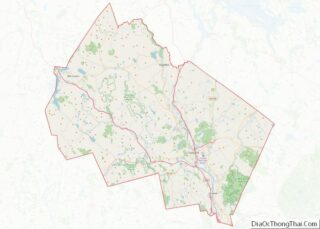
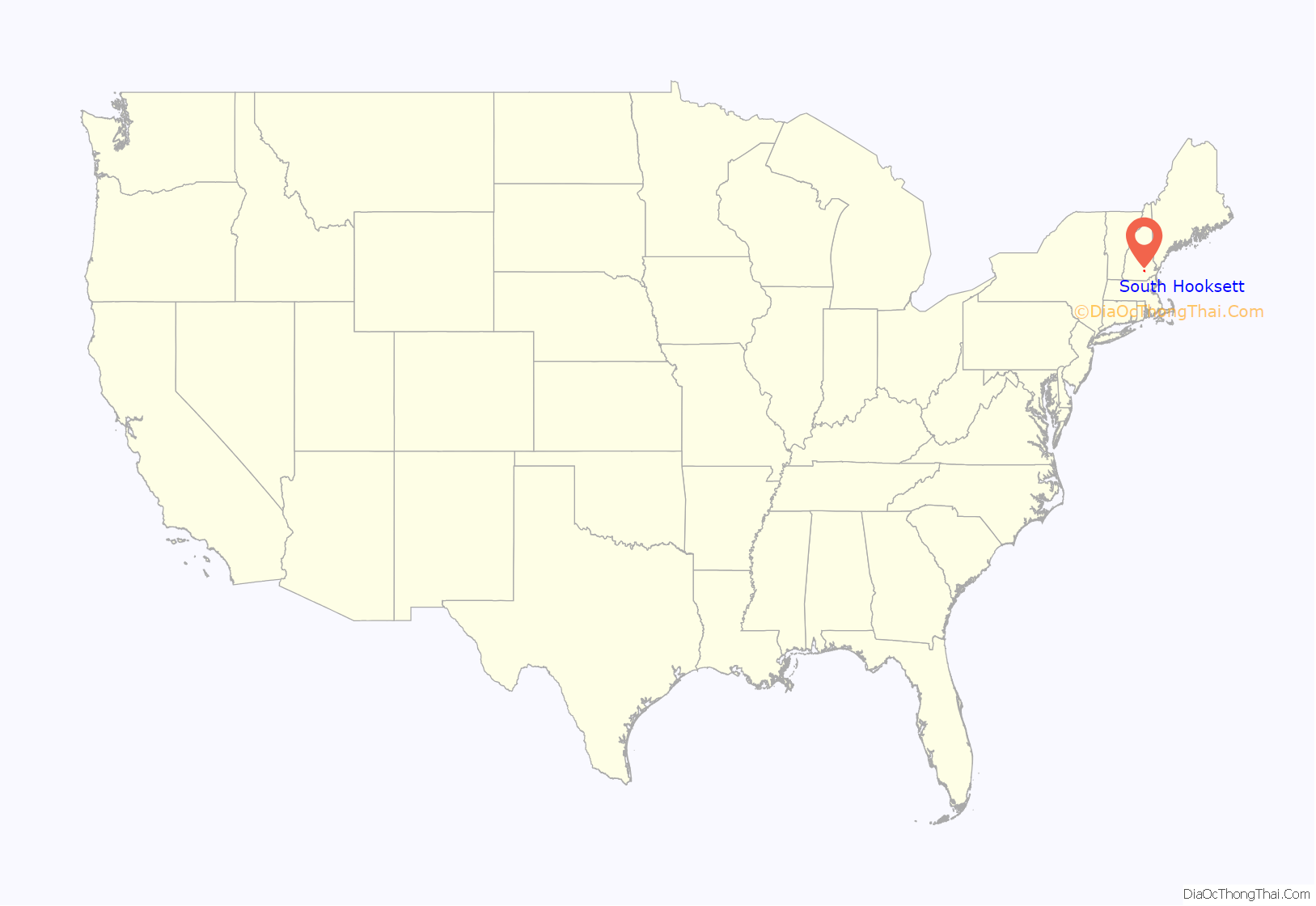
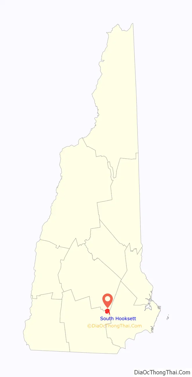
South Hooksett location map. Where is South Hooksett CDP?
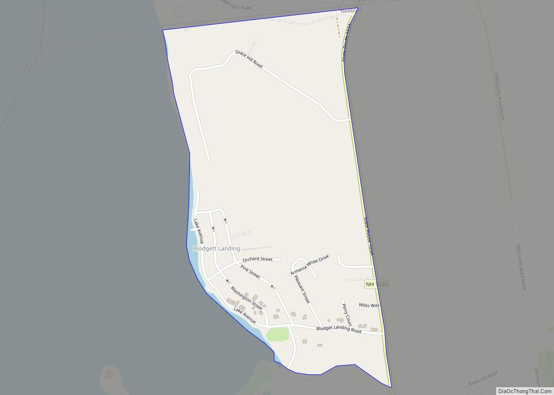
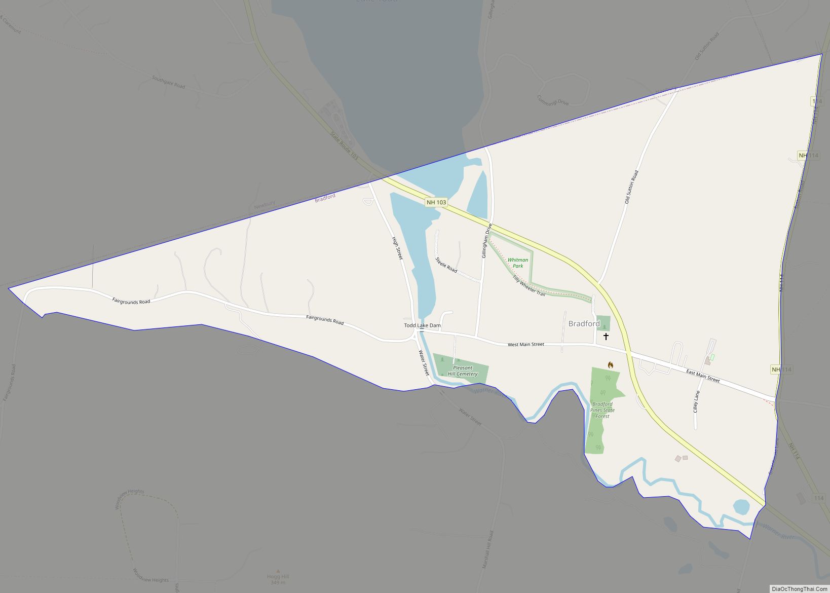
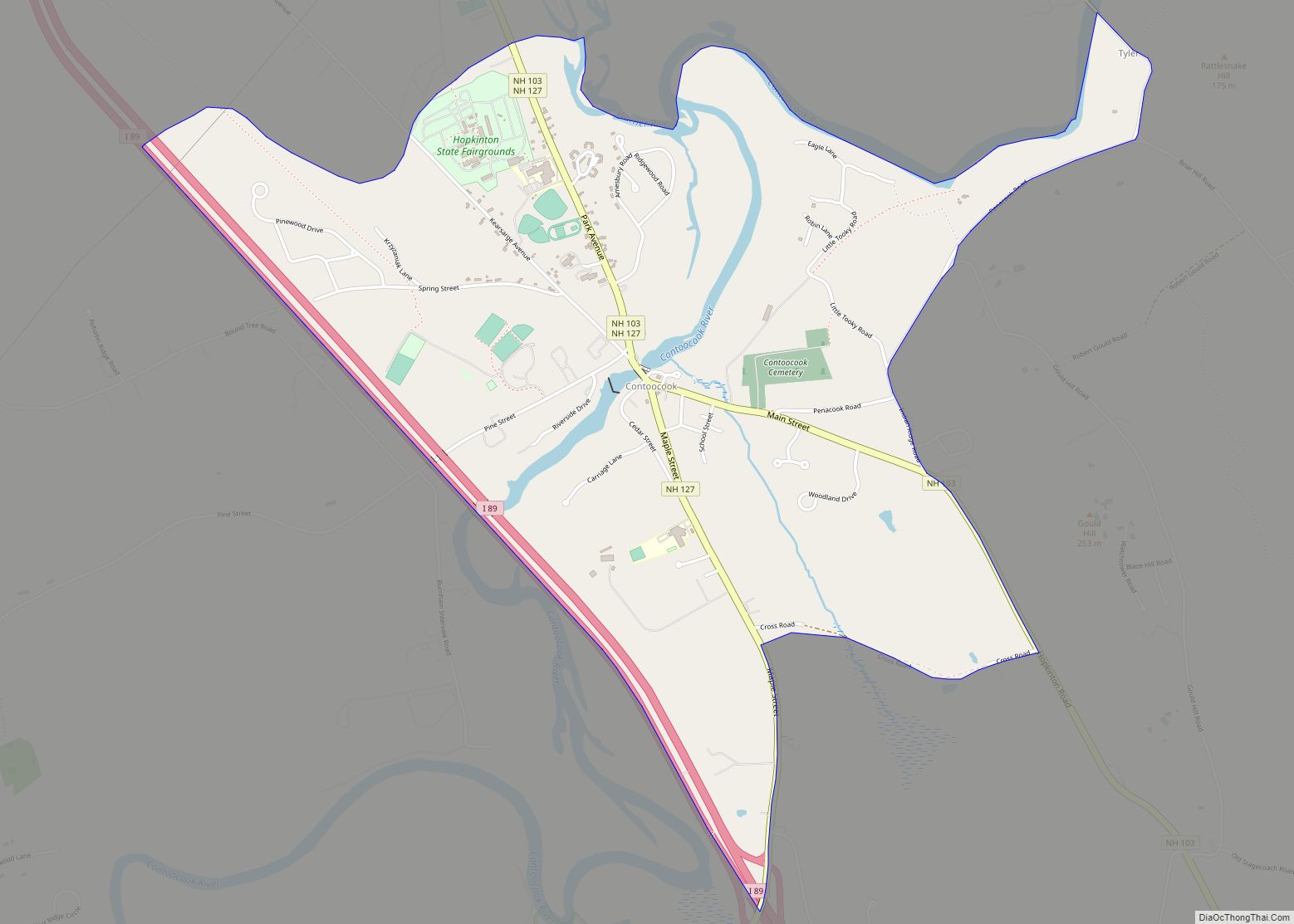
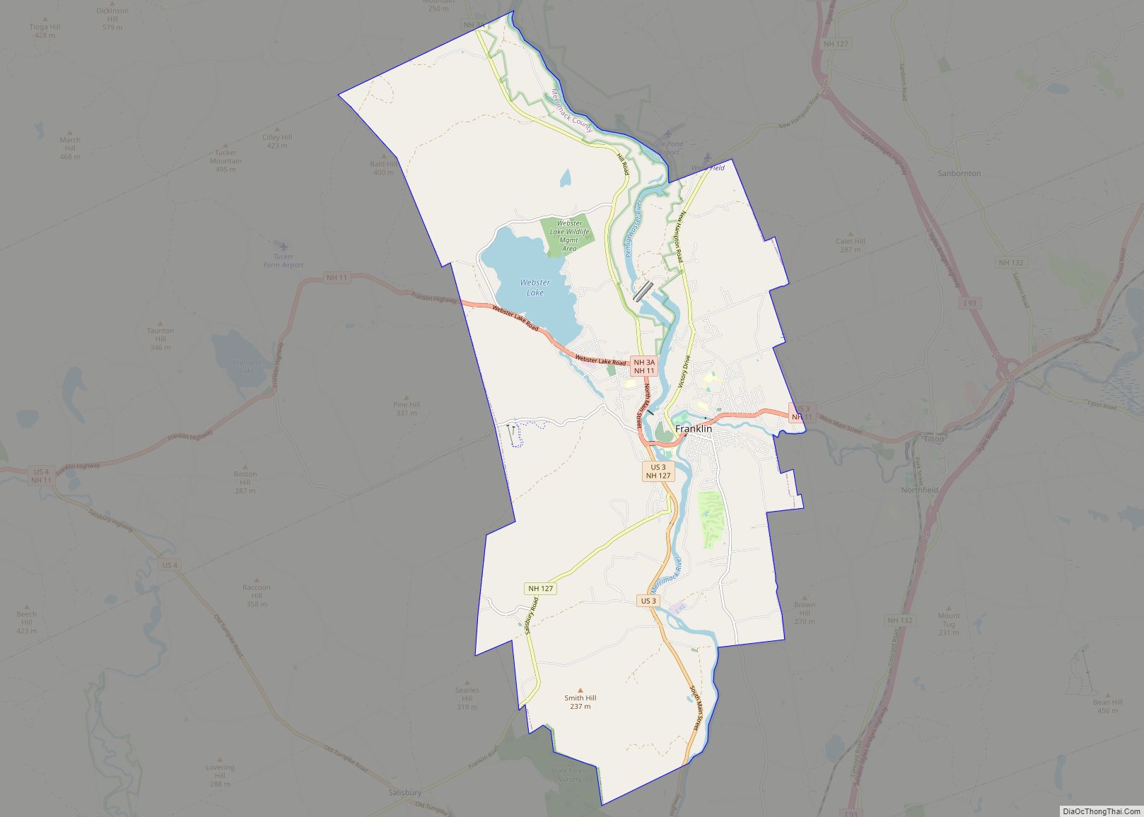
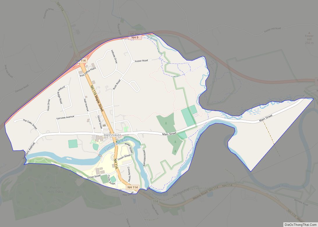
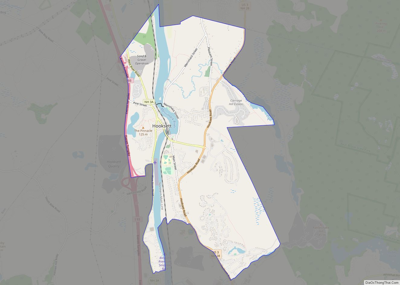
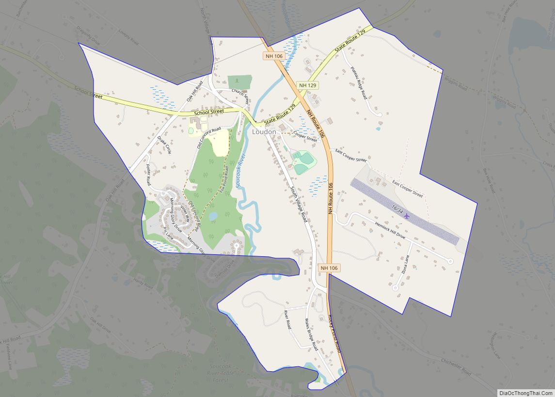
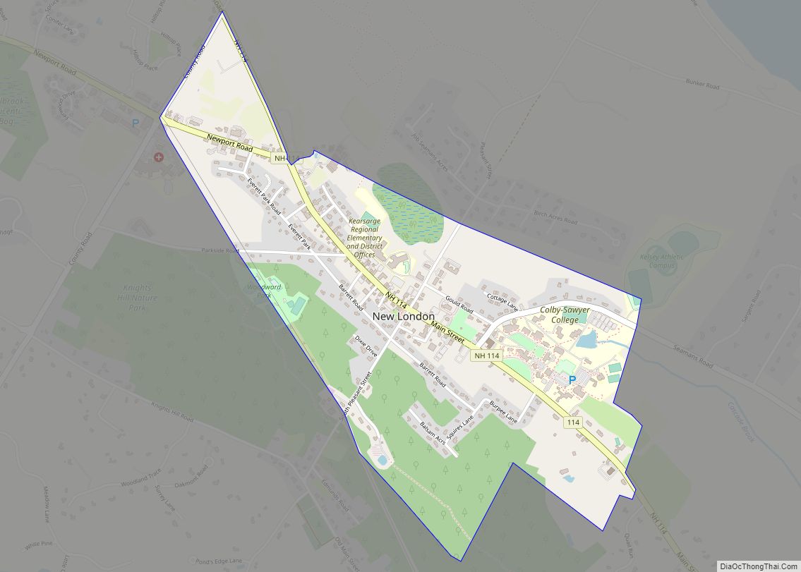
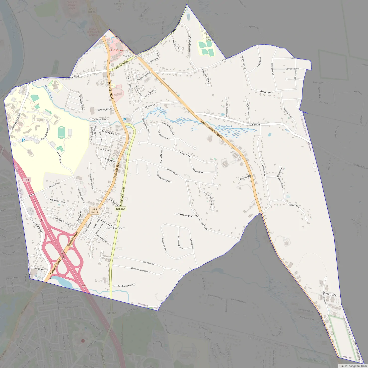
South Hooksett Road Map
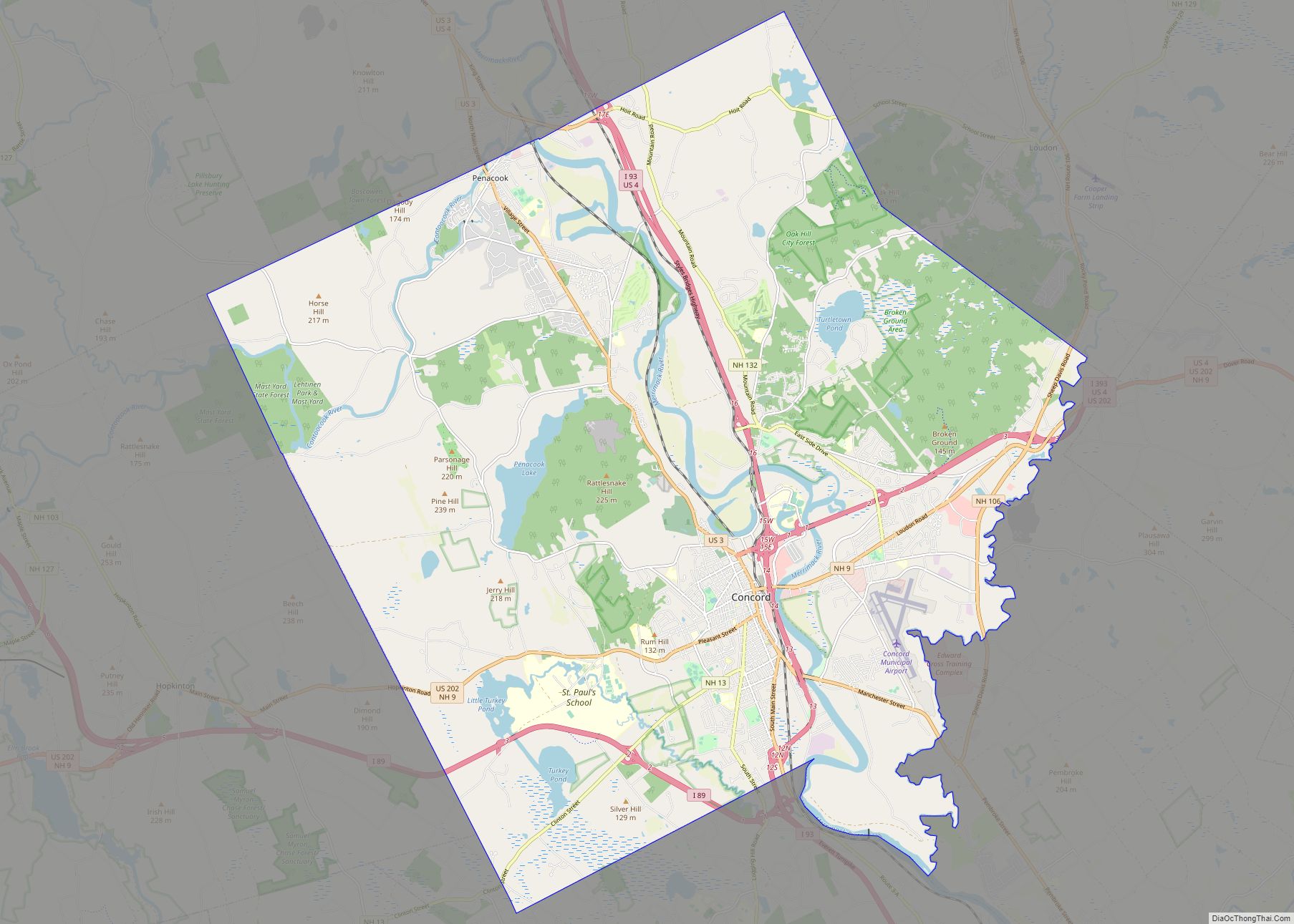
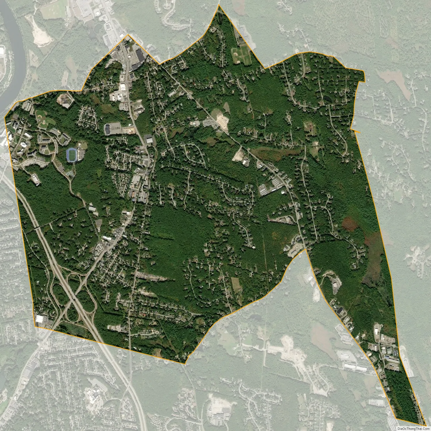
South Hooksett city Satellite Map
Geography
South Hooksett is located in the southern part of the town of Hooksett (and the southernmost part of Merrimack County) at 43°1′51″N 71°26′5″W / 43.03083°N 71.43472°W / 43.03083; -71.43472 (43.030833, -71.434860). It is bordered to the west and south by the city of Manchester in Hillsborough County, to the east by the town of Auburn in Rockingham County, and to the north by Legends Road, Hooksett Road (U.S. Route 3), Londonderry Turnpike (New Hampshire Route 28 Bypass), a line north of Whitehall Road (New Hampshire Route 27), and Farmer Road. The Hooksett portion of the campus of Southern New Hampshire University is within the CDP.
According to the United States Census Bureau, the CDP has a total area of 6.8 square miles (17.5 km), of which 0.01 square miles (0.02 km), or 0.12%, are water. The Merrimack River runs just outside the northwest boundary of the CDP, and the north half of the CDP is drained by Dalton Brook and Messer Brook, west-flowing tributaries of the Merrimack. The southwest corner of the CDP drains south to Dorrs Pond in Manchester, while the southeast part is drained by Neal Brook, a south-flowing tributary of Massabesic Lake. The entire CDP is part of the Merrimack River watershed.
See also
Map of New Hampshire State and its subdivision: Map of other states:- Alabama
- Alaska
- Arizona
- Arkansas
- California
- Colorado
- Connecticut
- Delaware
- District of Columbia
- Florida
- Georgia
- Hawaii
- Idaho
- Illinois
- Indiana
- Iowa
- Kansas
- Kentucky
- Louisiana
- Maine
- Maryland
- Massachusetts
- Michigan
- Minnesota
- Mississippi
- Missouri
- Montana
- Nebraska
- Nevada
- New Hampshire
- New Jersey
- New Mexico
- New York
- North Carolina
- North Dakota
- Ohio
- Oklahoma
- Oregon
- Pennsylvania
- Rhode Island
- South Carolina
- South Dakota
- Tennessee
- Texas
- Utah
- Vermont
- Virginia
- Washington
- West Virginia
- Wisconsin
- Wyoming