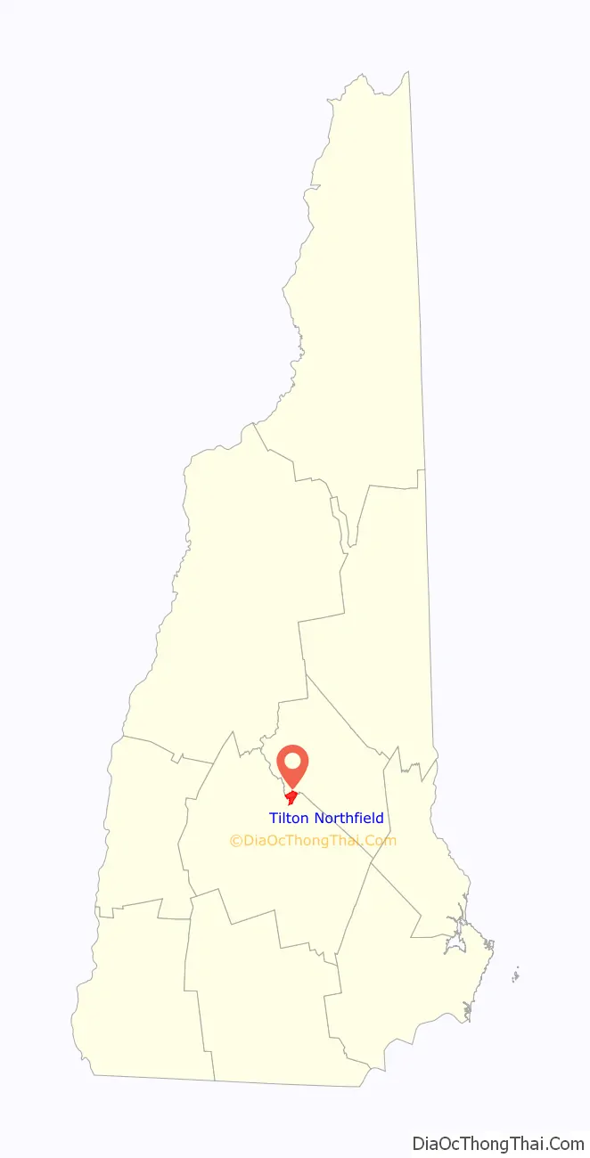
Tilton Northfield is a census-designated place (CDP) representing two adjacent villages in the towns of Tilton in Belknap County and Northfield in Merrimack County in the U.S. state of New Hampshire. The CDP encompasses the town centers of both Tilton and Northfield, located on either side of the Winnipesaukee River. The population was 3,324 at the 2020 census.
| Name: | Tilton Northfield CDP |
|---|---|
| LSAD Code: | 57 |
| LSAD Description: | CDP (suffix) |
| State: | New Hampshire |
| County: | Belknap County, Merrimack County |
| Elevation: | 450 ft (140 m) |
| Total Area: | 3.24 sq mi (8.40 km²) |
| Land Area: | 3.13 sq mi (8.12 km²) |
| Water Area: | 0.11 sq mi (0.29 km²) |
| Total Population: | 3,324 |
| Population Density: | 1,060.63/sq mi (409.50/km²) |
| ZIP code: | 03276 |
| Area code: | 603 |
| FIPS code: | 3377100 |
| GNISfeature ID: | 2378093 |
Online Interactive Map
Click on ![]() to view map in "full screen" mode.
to view map in "full screen" mode.
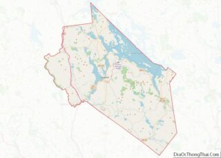
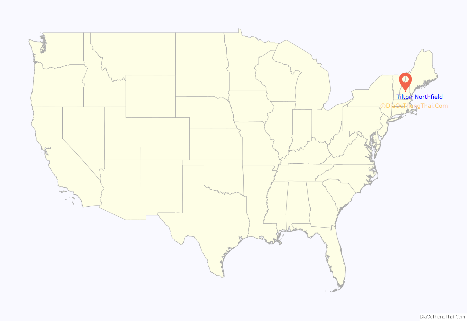
Tilton Northfield location map. Where is Tilton Northfield CDP?
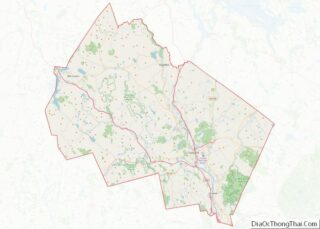
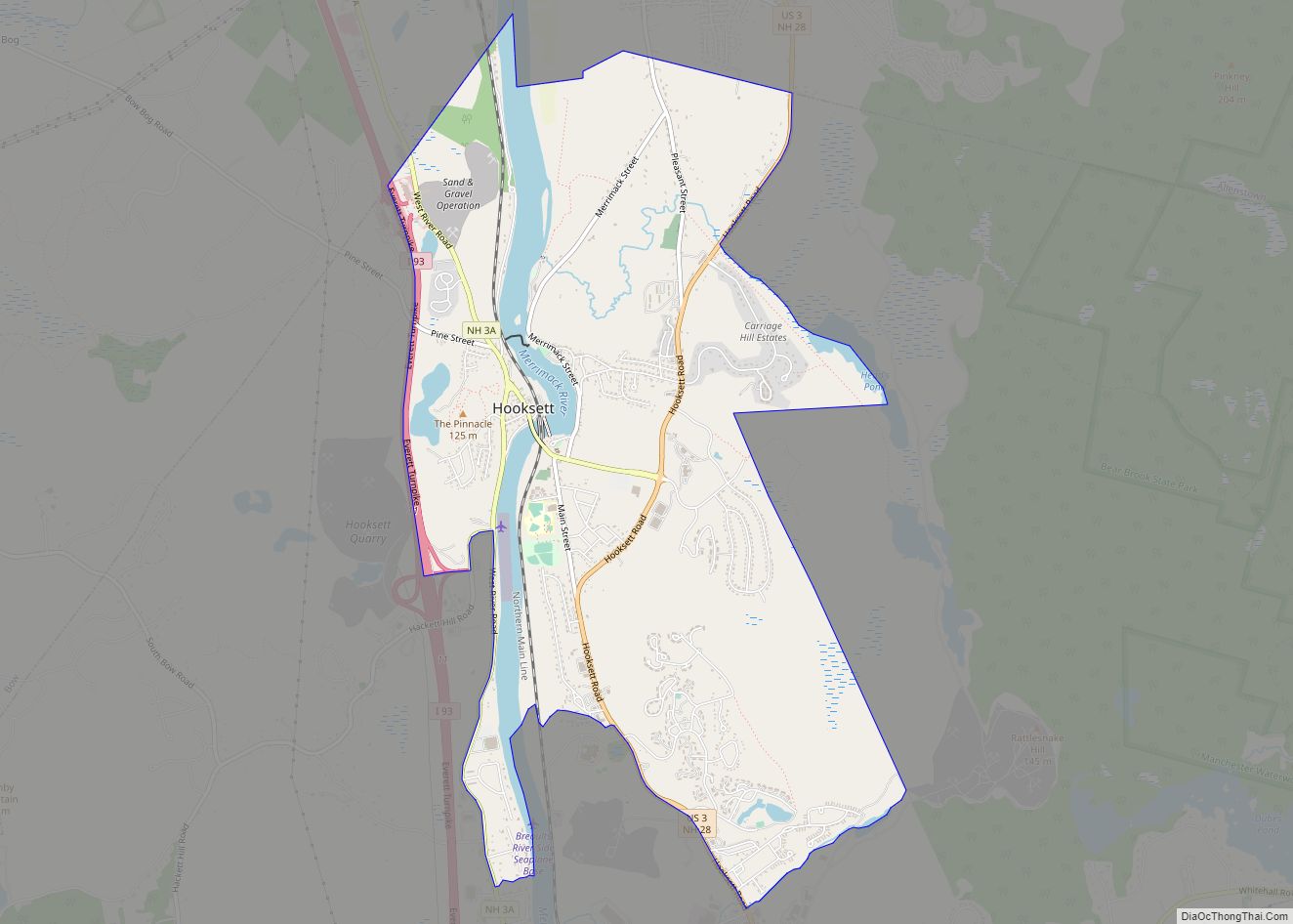
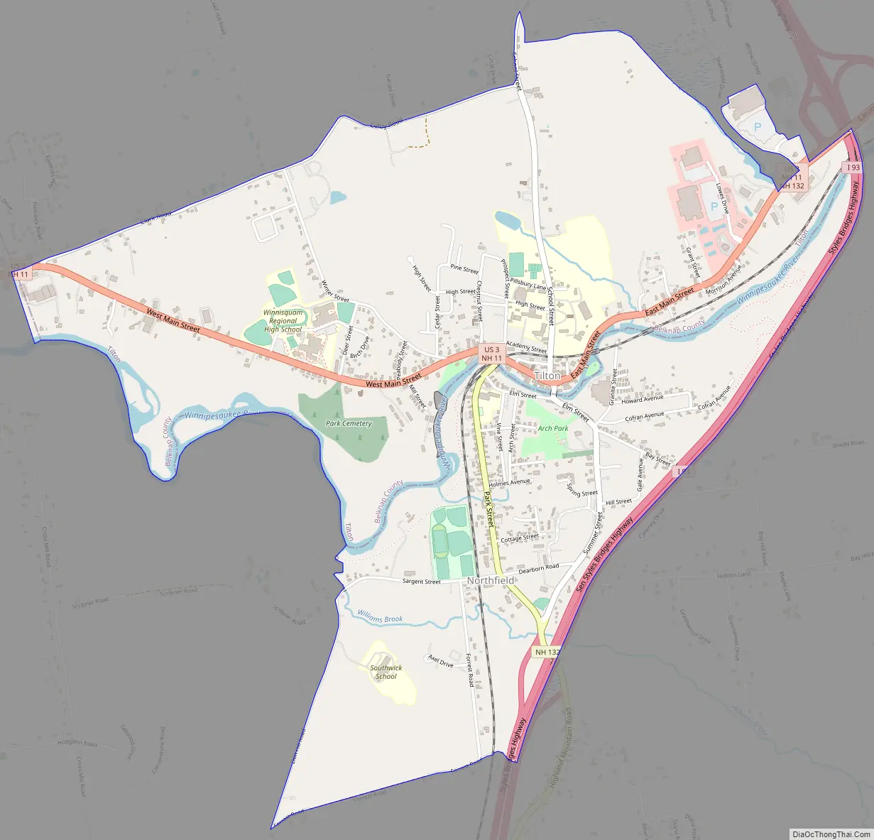
Tilton Northfield Road Map
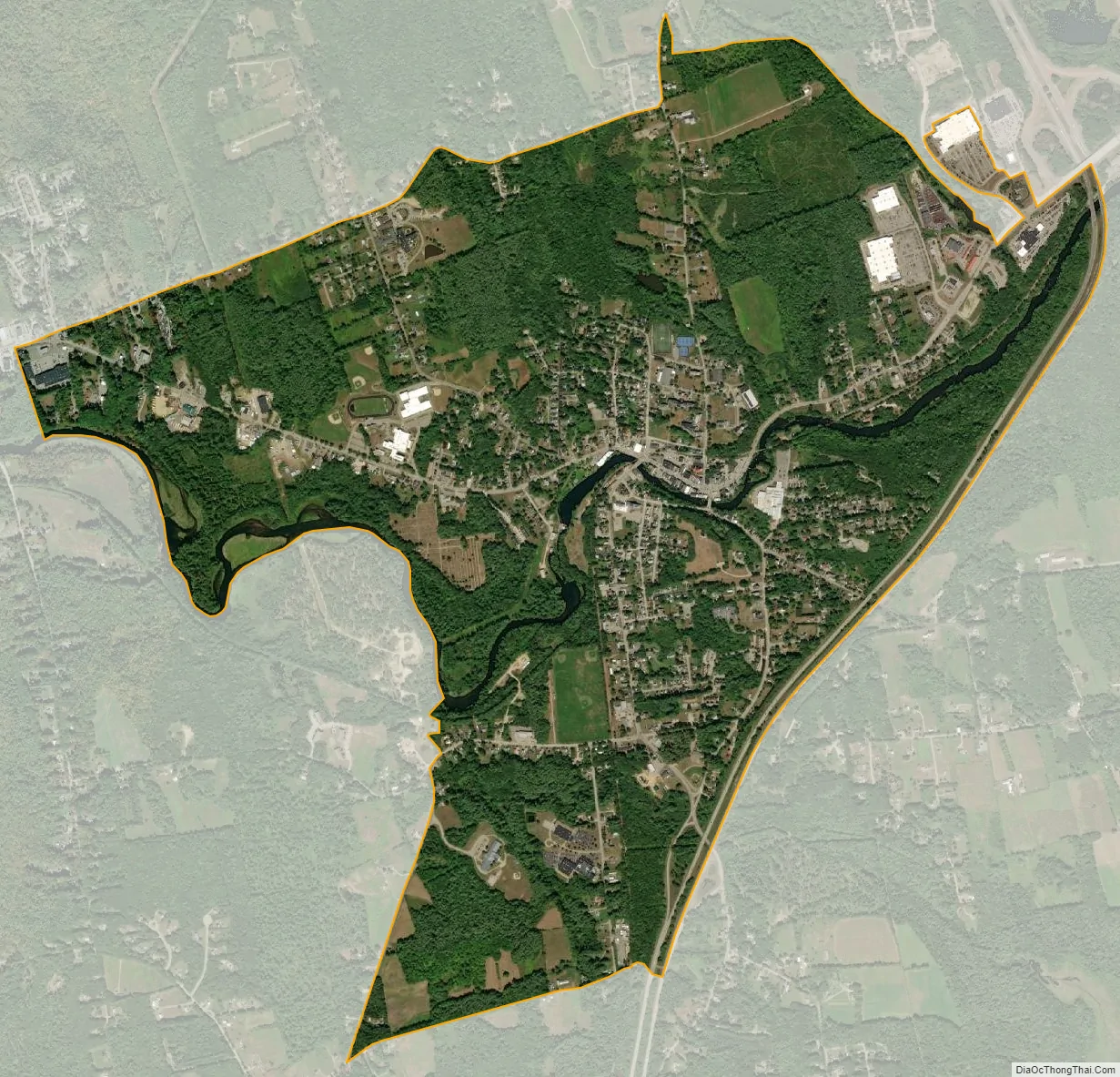
Tilton Northfield city Satellite Map
Geography
The CDP is located at 43°26′36″N 71°35′31″W / 43.443236°N 71.591827°W / 43.443236; -71.591827 (43.443236, -71.591827). In Tilton, it extends from the Franklin city line in the west to Interstate 93 in the east, and north to Clark Road, Colby Road, and just south of Aster Drive. The Northfield part of the CDP is bordered by I-93 to the east; the Winnipesaukee River, Williams Brook and Zion Hill Road to the west; and Forrest Road to the south.
According to the United States Census Bureau, the CDP has a total area of 3.2 square miles (8.4 km), of which 3.1 square miles (8.1 km) are land and 0.12 square miles (0.3 km), or 3.39%, are water. The Winnipesaukee River flows through the center of the CDP, separating the villages of Northfield and Tilton, and running west to the Merrimack River in Franklin.
See also
Map of New Hampshire State and its subdivision: Map of other states:- Alabama
- Alaska
- Arizona
- Arkansas
- California
- Colorado
- Connecticut
- Delaware
- District of Columbia
- Florida
- Georgia
- Hawaii
- Idaho
- Illinois
- Indiana
- Iowa
- Kansas
- Kentucky
- Louisiana
- Maine
- Maryland
- Massachusetts
- Michigan
- Minnesota
- Mississippi
- Missouri
- Montana
- Nebraska
- Nevada
- New Hampshire
- New Jersey
- New Mexico
- New York
- North Carolina
- North Dakota
- Ohio
- Oklahoma
- Oregon
- Pennsylvania
- Rhode Island
- South Carolina
- South Dakota
- Tennessee
- Texas
- Utah
- Vermont
- Virginia
- Washington
- West Virginia
- Wisconsin
- Wyoming