Audubon Park is a borough in Camden County, in the U.S. state of New Jersey. As of the 2020 United States census, the borough’s population was 991, a decrease of 32 (−3.1%) from the 2010 census count of 1,023, which in turn reflected a decline of 79 (−7.2%) from the 1,102 counted in the 2000 census. The borough is the fifth-smallest municipality in the state by area.
Audubon Park was incorporated as a borough on July 3, 1947, from portions of Audubon Borough, based on the results of a referendum held on October 28, 1947, making it the newest municipality in Camden County. Audubon Park is a dry town where alcohol is not permitted to be sold by law.
Audubon Park had the third-highest property tax rate in New Jersey, with an equalized rate of 6.311% in 2020, compared to 3.470% in Camden County and a statewide average of 2.279%.
| Name: | Audubon Park borough |
|---|---|
| LSAD Code: | 21 |
| LSAD Description: | borough (suffix) |
| State: | New Jersey |
| County: | Camden County |
| Incorporated: | October 28, 1947 |
| Elevation: | 20 ft (6 m) |
| Total Area: | 0.17 sq mi (0.44 km²) |
| Land Area: | 0.15 sq mi (0.39 km²) |
| Water Area: | 0.02 sq mi (0.05 km²) 10.59% |
| Total Population: | 991 |
| Population Density: | 6,587.9/sq mi (2,543.6/km²) |
| ZIP code: | 08106 |
| FIPS code: | 3402230 |
| GNISfeature ID: | 0885145 |
| Website: | www.audubonparknj.org |
Online Interactive Map
Click on ![]() to view map in "full screen" mode.
to view map in "full screen" mode.
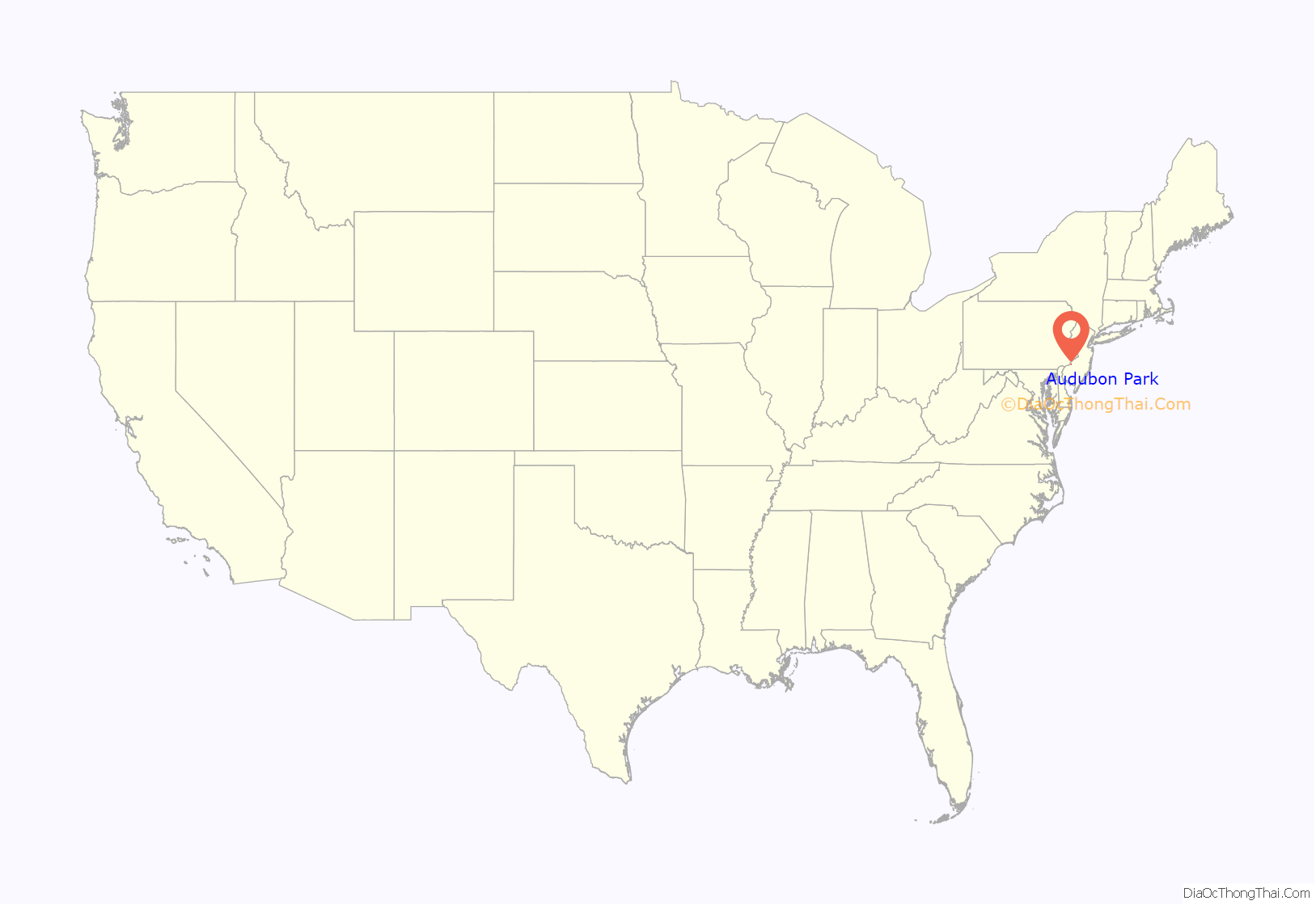
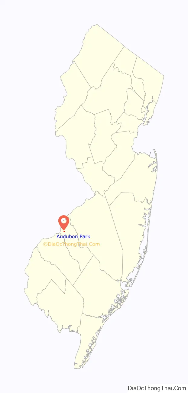
Audubon Park location map. Where is Audubon Park borough?
History
Audubon Park was established as a community within Audubon in 1941 with the construction of 500 housing units for employees of New York Shipbuilding in Camden, New Jersey. It is named for naturalist John James Audubon. This was the first of eight projects undertaken by the Mutual Ownership Defense Housing Division of the Federal Works Agency under the leadership of Colonel Lawrence Westbrook. Residents of Audubon, seeking to rid itself of the development’s Democratic voters and its public school students, pushed for and passed a referendum to form Audubon Park in 1947. The Audubon Mutual Housing Corporation owns and administers all property in the borough and in turn is responsible for renting homes to residents.
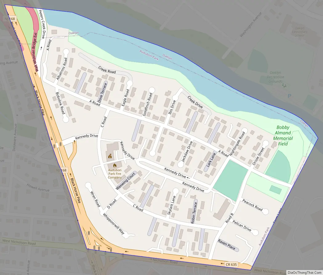
Audubon Park Road Map
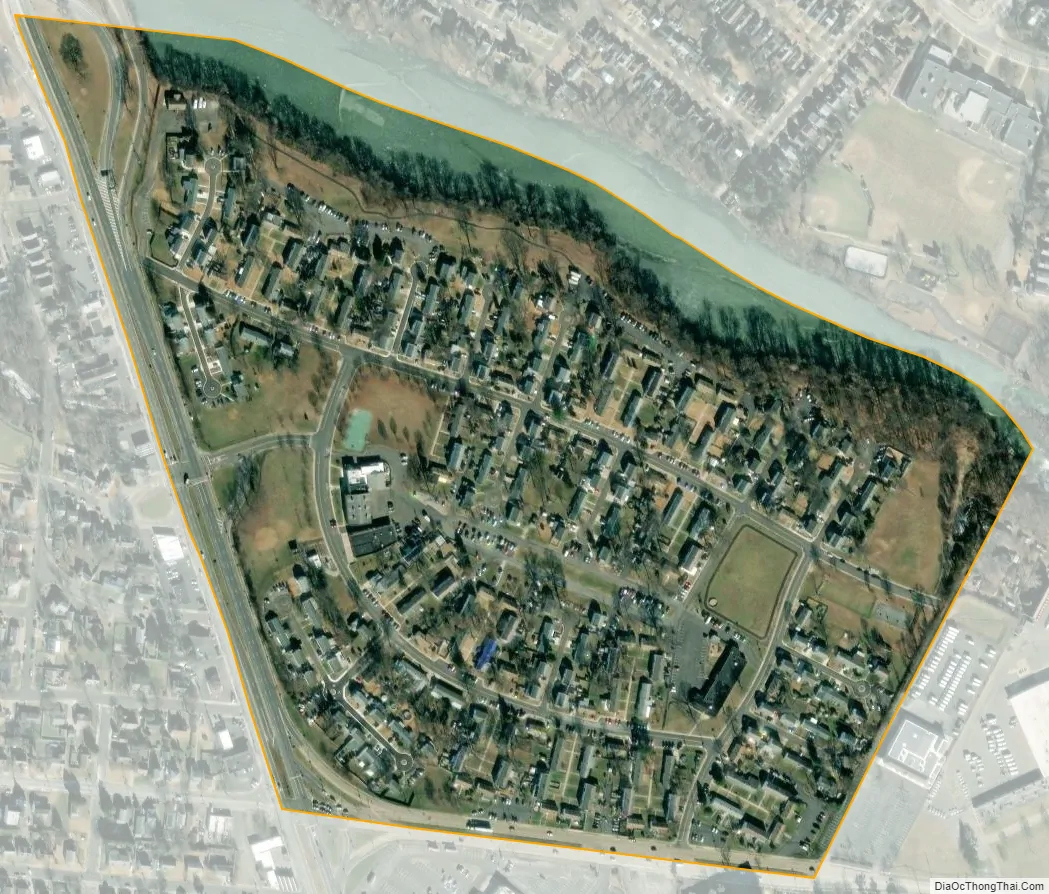
Audubon Park city Satellite Map
Geography
According to the United States Census Bureau, the borough had a total area of 0.17 square miles (0.44 km), including 0.15 square miles (0.39 km) of land and 0.02 square miles (0.05 km) of water (10.59%).
Audubon Park borders the Camden County municipalities of Audubon, Haddon Township and Oaklyn.
See also
Map of New Jersey State and its subdivision: Map of other states:- Alabama
- Alaska
- Arizona
- Arkansas
- California
- Colorado
- Connecticut
- Delaware
- District of Columbia
- Florida
- Georgia
- Hawaii
- Idaho
- Illinois
- Indiana
- Iowa
- Kansas
- Kentucky
- Louisiana
- Maine
- Maryland
- Massachusetts
- Michigan
- Minnesota
- Mississippi
- Missouri
- Montana
- Nebraska
- Nevada
- New Hampshire
- New Jersey
- New Mexico
- New York
- North Carolina
- North Dakota
- Ohio
- Oklahoma
- Oregon
- Pennsylvania
- Rhode Island
- South Carolina
- South Dakota
- Tennessee
- Texas
- Utah
- Vermont
- Virginia
- Washington
- West Virginia
- Wisconsin
- Wyoming


