Bay Head is a borough situated on the Jersey Shore in northern Ocean County, in the U.S. state of New Jersey. As of the 2020 United States census, the borough’s population was 930, a decrease of 38 (−3.9%) from the 2010 census count of 968, which in turn reflected a decline of 270 (−21.8%) from the 1,238 counted at the 2000 Census. Bay Head is situated on the Barnegat Peninsula, also known as Barnegat Bay Island, a long, narrow barrier island that separates Barnegat Bay from the Atlantic Ocean. Together with Mantoloking, Bay Head is considered part of the Jersey Shore’s “Gold Coast”.
Bay Head was incorporated as a borough by an act of the New Jersey Legislature on June 15, 1886, from portions of Brick Township, based on the results of a referendum held three days earlier.
The community was supposed to have been named “Bayhead” after the Bayhead Land Company that developed the area in the 1870s. A railroad sign posted in the 1880s labeled the station as “Bay Head,” and the name stuck when the borough was incorporated in 1886. The name also comes from the town’s location, which is at the “head” of Barnegat Bay.
| Name: | Bay Head borough |
|---|---|
| LSAD Code: | 21 |
| LSAD Description: | borough (suffix) |
| State: | New Jersey |
| County: | Ocean County |
| Incorporated: | June 15, 1886 |
| Elevation: | 3 ft (0.9 m) |
| Total Area: | 0.71 sq mi (1.83 km²) |
| Land Area: | 0.58 sq mi (1.52 km²) |
| Water Area: | 0.12 sq mi (0.32 km²) 17.32% |
| Total Population: | 930 |
| Population Density: | 1,588.4/sq mi (613.3/km²) |
| ZIP code: | 08742 |
| Area code: | 732 |
| FIPS code: | 3403520 |
| GNISfeature ID: | 0885150 |
| Website: | www.bayheadnj.org |
Online Interactive Map
Click on ![]() to view map in "full screen" mode.
to view map in "full screen" mode.
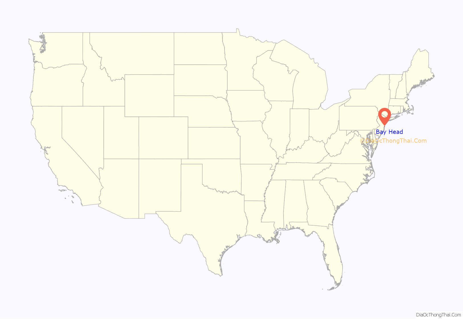
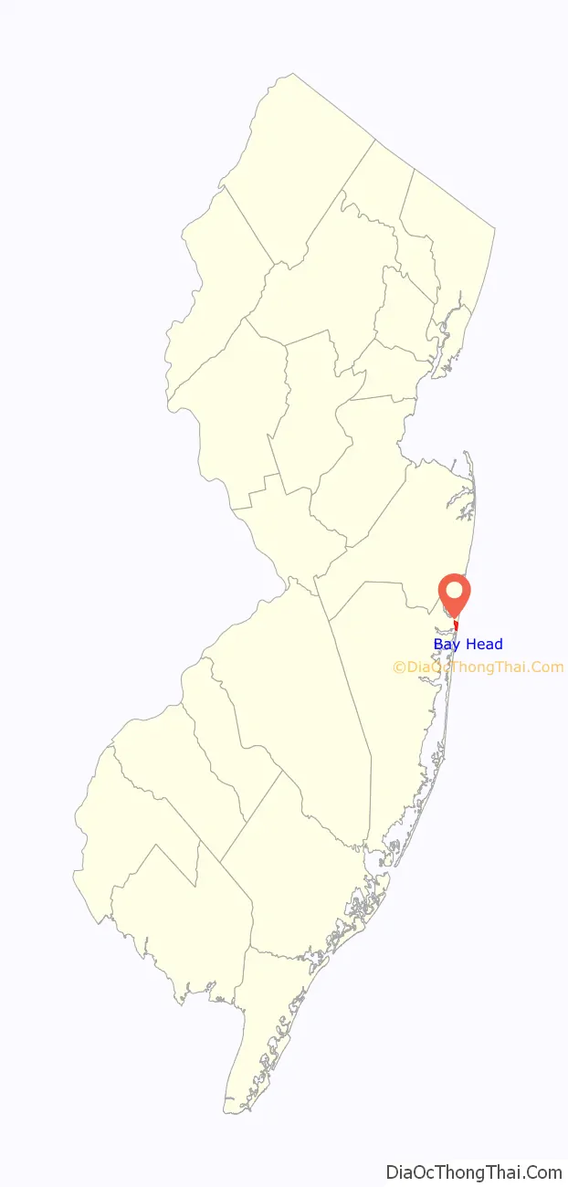
Bay Head location map. Where is Bay Head borough?
History
The Bayhead Land Company was incorporated on September 6, 1879, capitalized at $12,000. The founding partners were David H. Mount of Rocky Hill, and three Princeton men: Edward Howe, his brother Leavitt Howe and William Harris. Within several years, the resort had grown in population, with a seawall installed, roads built and graded. In 1882, Bay Head had 20 new cottages and a population of 75.
The first post office was established in Bay Head in the summer of 1882. Julius Foster was first postmaster.
The Bay Head Historic District, listed in the New Jersey and the National Registers of Historic places in 2005, includes over 550 contributing structures (over half of the town’s buildings) making it one of the largest historic districts in New Jersey. Bay Head’s historic district is architecturally significant for its large collection of well-preserved Shingle Style, Stick Style, and Queen Anne Style structures.
The 1,260 metres (4,130 ft) stone rubble seawall built in 1882, which had been buried by dunes and largely forgotten, played a role in reducing damage to the town by Hurricane Sandy.
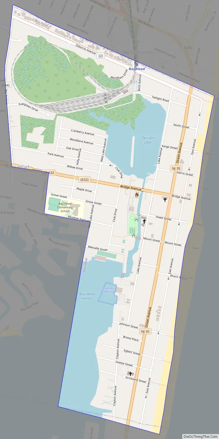
Bay Head Road Map
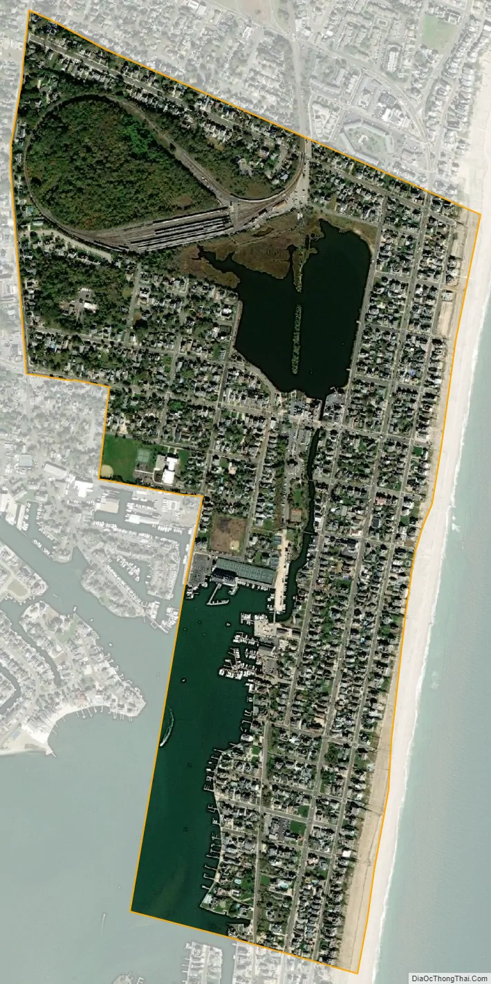
Bay Head city Satellite Map
Geography
According to the United States Census Bureau, the borough had a total area of 0.71 square miles (1.83 km), including 0.59 square miles (1.52 km) of land and 0.12 square miles (0.32 km) of water (17.32%).
Unincorporated communities, localities and place names located partially or completely within the borough include Twilight Lake.
The borough borders the Ocean County municipalities of Brick Township, Mantoloking, Point Pleasant and Point Pleasant Beach.
See also
Map of New Jersey State and its subdivision: Map of other states:- Alabama
- Alaska
- Arizona
- Arkansas
- California
- Colorado
- Connecticut
- Delaware
- District of Columbia
- Florida
- Georgia
- Hawaii
- Idaho
- Illinois
- Indiana
- Iowa
- Kansas
- Kentucky
- Louisiana
- Maine
- Maryland
- Massachusetts
- Michigan
- Minnesota
- Mississippi
- Missouri
- Montana
- Nebraska
- Nevada
- New Hampshire
- New Jersey
- New Mexico
- New York
- North Carolina
- North Dakota
- Ohio
- Oklahoma
- Oregon
- Pennsylvania
- Rhode Island
- South Carolina
- South Dakota
- Tennessee
- Texas
- Utah
- Vermont
- Virginia
- Washington
- West Virginia
- Wisconsin
- Wyoming


