Beach Haven West is an unincorporated community and census-designated place (CDP) located within Stafford Township, in Ocean County, in the U.S. state of New Jersey. As of the 2020 United States census, the CDP’s population was 4,143, an increase of 247 (+6.3%) from the 3,896 recorded at the 2010 census, which in turn had reflected a decrease of 548 (−12.3%) from the 4,444 counted at the 2000 census.
| Name: | Beach Haven West CDP |
|---|---|
| LSAD Code: | 57 |
| LSAD Description: | CDP (suffix) |
| State: | New Jersey |
| County: | Ocean County |
| Elevation: | 3 ft (1 m) |
| Total Area: | 2.12 sq mi (5.48 km²) |
| Land Area: | 1.62 sq mi (4.20 km²) |
| Water Area: | 0.49 sq mi (1.28 km²) 25.47% |
| Total Population: | 4,143 |
| Population Density: | 2,557.4/sq mi (987.4/km²) |
| ZIP code: | 08050 |
| Area code: | 609 |
| FIPS code: | 3404120 |
| GNISfeature ID: | 02389182 |
Online Interactive Map
Click on ![]() to view map in "full screen" mode.
to view map in "full screen" mode.
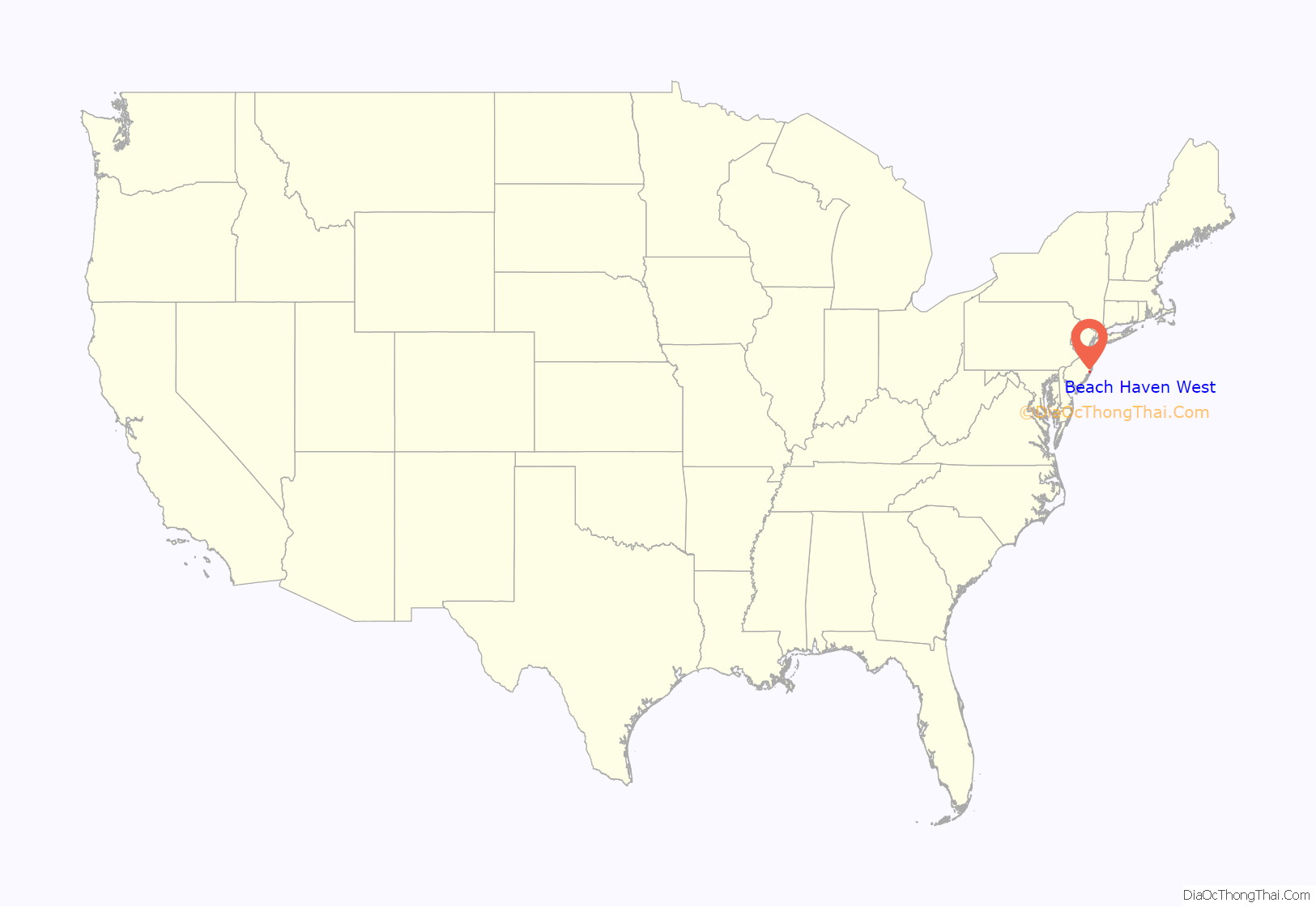
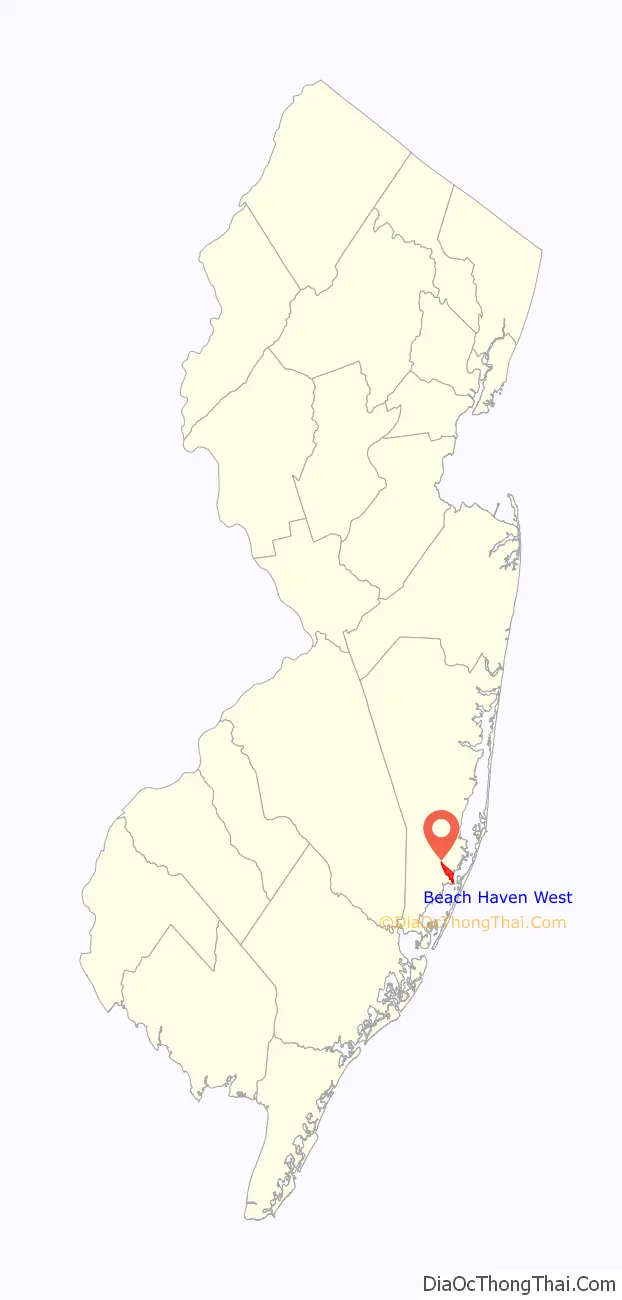
Beach Haven West location map. Where is Beach Haven West CDP?
History
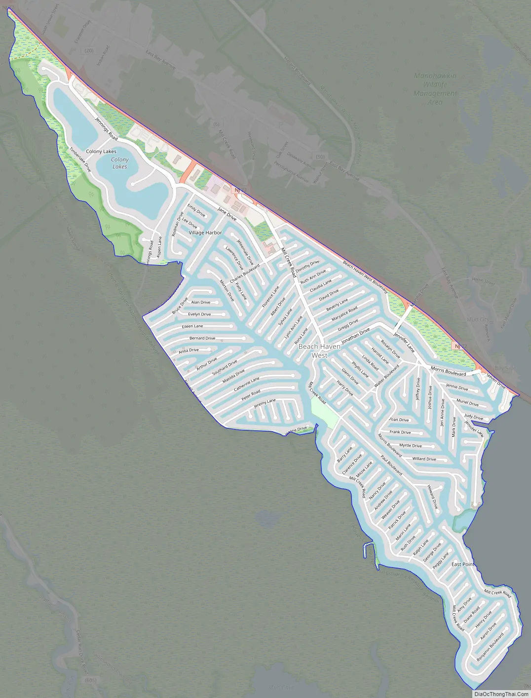
The site that Beach Haven West is located on was known as Remson Meadows along the Manahawkin Bayfront. In 1950, the salt marshes were bought by the Shapiro brothers, Herbert and Jerome, who developed vacation homes throughout the Jersey Shore. Using a dredge towed up from North Carolina, construction began on Beach Haven West’s 130-plus saltwater lagoons and 5,000 single-family homes.
Beach Haven West was built in phases, the first opening in 1957. The first phase contained the lagoons and cul-de-sacs branching between Morris Boulevard and Jennifer Lane. By the early 1960s, the second phase was completed, this one spanning between Jonathan Drive and Walter Boulevard. Afterwards, the third phase was completed, which contained the development along Mill Creek Road between Route 72 and Jonathan Drive, as well as the Charles Boulevard spur. By the 1970s, the lagoon-front community was expanded down Mill Creek Road towards East Point.
The Shapiros later sold their remaining properties to Lincoln Properties, LLC, another shore development firm. They completed the Mill Creek Road section along Mill Creek down to Barnegat Bay at East Point, added the southern lagoons along Newell Avenue known as Village Harbour, and developed the Colony Lakes section by 1986.
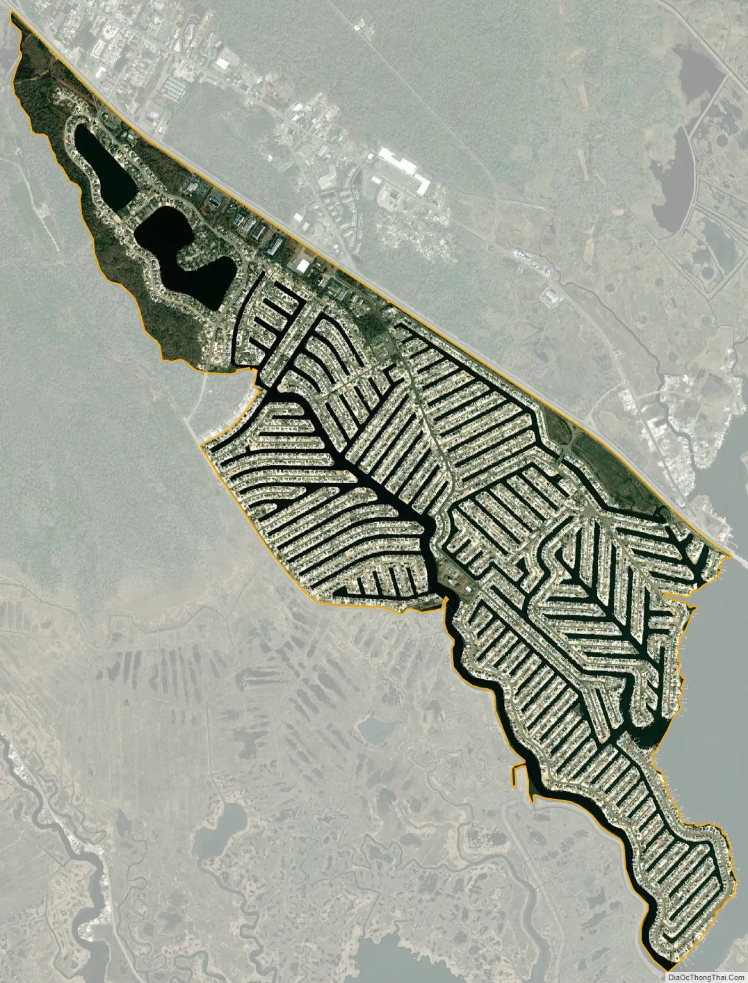
Through satellite imagery, it is evident that the community was intended to expand below the delta of Mill Creek at the bay. Ghosts of about a dozen partially dredged lagoons in that area, as well as a curious curve in Newell Avenue, indicate the planned expansion. However, a lack of permits, increasing pressure from the EPA and the Wetlands Protection Act of 1970 kept the community from expanding further.
Beach Haven West Road Map
Beach Haven West city Satellite Map
Geography
According to the United States Census Bureau, Beach Haven West had a total area of 2.143 square miles (5.551 km), including 1.597 square miles (4.137 km) of land and 0.546 square miles (1.414 km) of water (25.47%).
The name “Beach Haven West” is a misnomer because it actually lies directly due north from the borough of Beach Haven. It can be speculated that “west” was chosen because the mainland is generally west of Long Beach Island, where Beach Haven is located.
See also
Map of New Jersey State and its subdivision: Map of other states:- Alabama
- Alaska
- Arizona
- Arkansas
- California
- Colorado
- Connecticut
- Delaware
- District of Columbia
- Florida
- Georgia
- Hawaii
- Idaho
- Illinois
- Indiana
- Iowa
- Kansas
- Kentucky
- Louisiana
- Maine
- Maryland
- Massachusetts
- Michigan
- Minnesota
- Mississippi
- Missouri
- Montana
- Nebraska
- Nevada
- New Hampshire
- New Jersey
- New Mexico
- New York
- North Carolina
- North Dakota
- Ohio
- Oklahoma
- Oregon
- Pennsylvania
- Rhode Island
- South Carolina
- South Dakota
- Tennessee
- Texas
- Utah
- Vermont
- Virginia
- Washington
- West Virginia
- Wisconsin
- Wyoming


