Beachwood is a borough in Ocean County, in the U.S. state of New Jersey. As of the 2020 United States census, the borough’s population was 10,859, a decrease of 186 (−1.7%) from the 2010 census count of 11,045, which in turn reflected reflected an increase of 670 (+6.5%) from the 10,375 counted in the 2000 census.
Beachwood was incorporated as a borough by an act of the New Jersey Legislature on March 22, 1917, from portions of Berkeley Township, based on the results of a referendum held on April 12, 1917.
| Name: | Beachwood borough |
|---|---|
| LSAD Code: | 21 |
| LSAD Description: | borough (suffix) |
| State: | New Jersey |
| County: | Ocean County |
| Incorporated: | April 12, 1917 |
| Elevation: | 62 ft (19 m) |
| Total Area: | 2.76 sq mi (7.16 km²) |
| Land Area: | 2.76 sq mi (7.16 km²) |
| Water Area: | 0.00 sq mi (0.00 km²) 0.04% |
| Total Population: | 10,859 |
| Population Density: | 3,930.1/sq mi (1,517.4/km²) |
| ZIP code: | 08722 |
| FIPS code: | 3404180 |
| GNISfeature ID: | 0885153 |
| Website: | www.beachwoodusa.com |
Online Interactive Map
Click on ![]() to view map in "full screen" mode.
to view map in "full screen" mode.
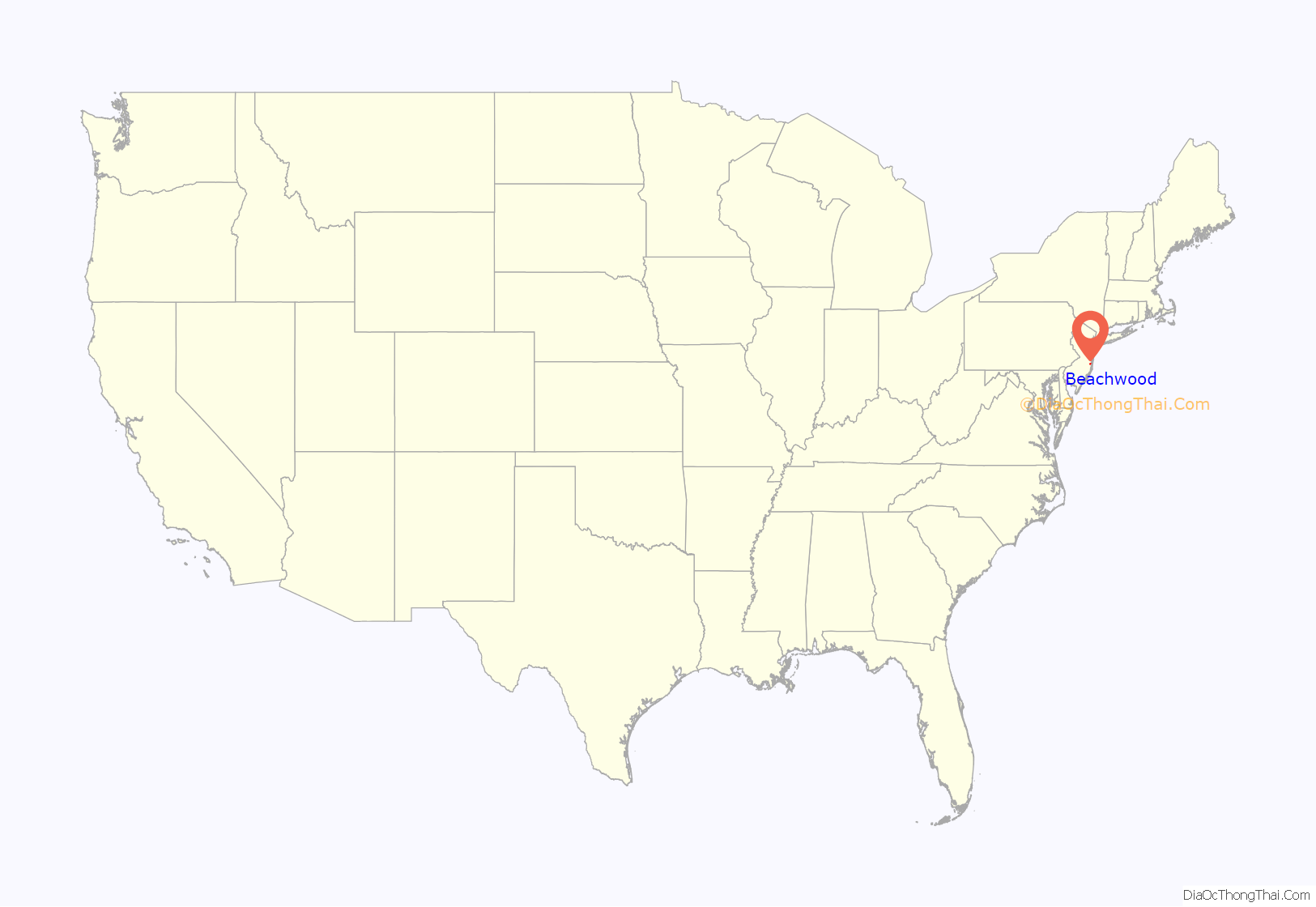
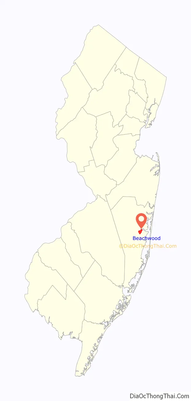
Beachwood location map. Where is Beachwood borough?
History
What is now the borough of Beachwood dates its settlement to a 1914 plan backed by the publishers of the New-York Tribune, under which 1,763 acres (7.13 km) of Berkeley Township were purchased and sectioned off as a summer colony called “Beachwood”. Buyers paid $19.60 for a plot of land measuring 20 by 100 feet (6.1 m × 30.5 m) and received a six-month subscription to The Tribune as a bonus. The first residents of the community moved in during April 1915, and work on a Club House, the Pier, the Bath House, the Lodge, a dining hall and a railroad station were planned to be completed by the end of May. Other offerings within the development included tennis courts, and facilities along the beach and on the river for canoeing, sailing and swimming. The first “cottages” in the community were constructed during that first summer season.
A Property-Owner’s Association was established in 1916. In addition to overseeing local services within the development, the organization also advocated that the community should become an independent municipality. Legislation was passed by the Legislature on March 22, 1917, and a referendum approving the establishment of the borough passed on April 12. On May 11, the borough’s first council was elected, along with Joseph H. Senior, who was chosen by the voters as Beachwood’s first mayor. A board of education was formed the following year, with school transportation provided on the back of a truck outfitted with wooden benches.
In December 2008, the Beachwood Historical Alliance was established, with the goal of the creation of an official town-run Preservation Commission for the purpose of recognizing, restoring and preserving aspects of Beachwood’s formation, history and heritage.
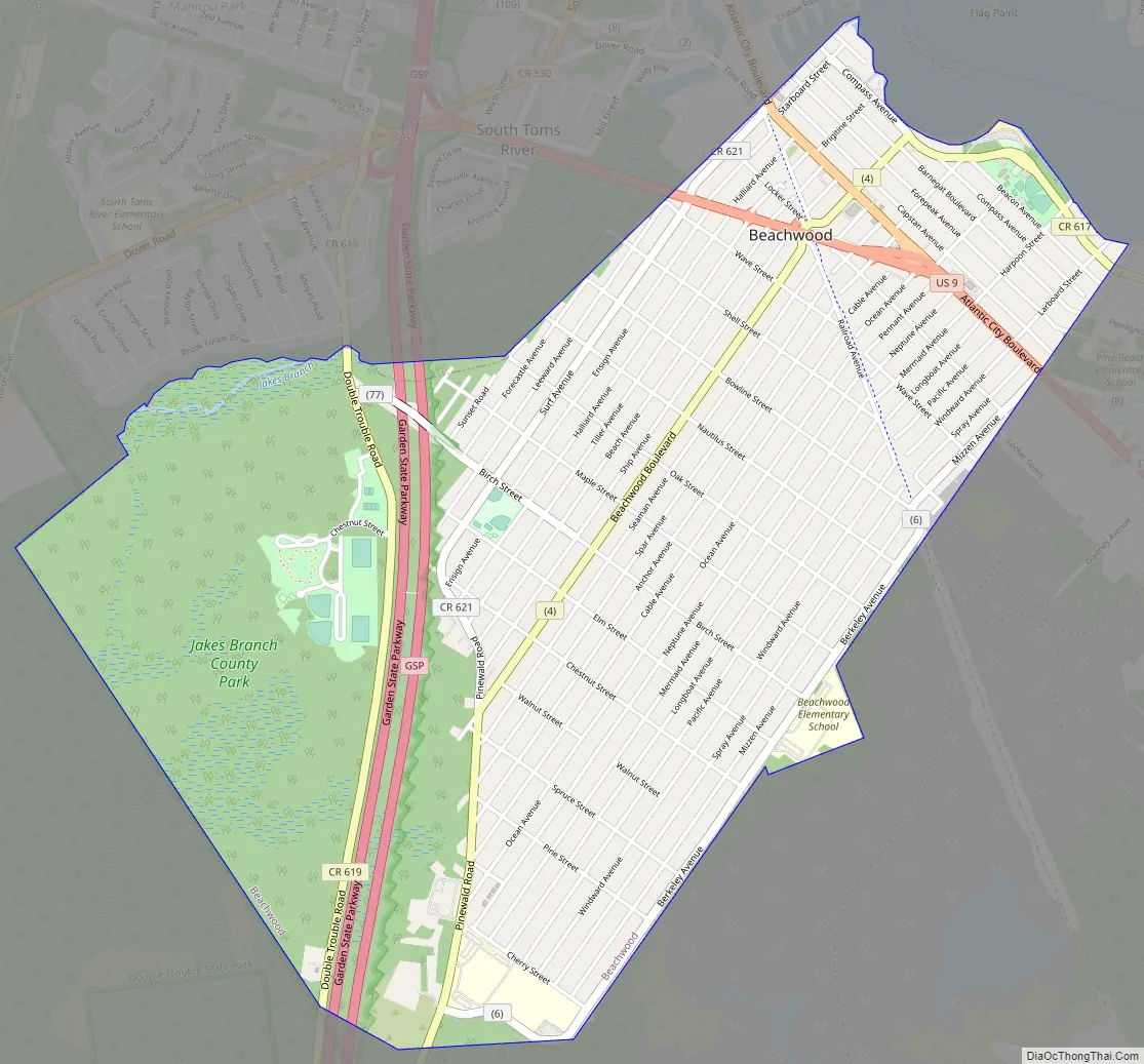
Beachwood Road Map
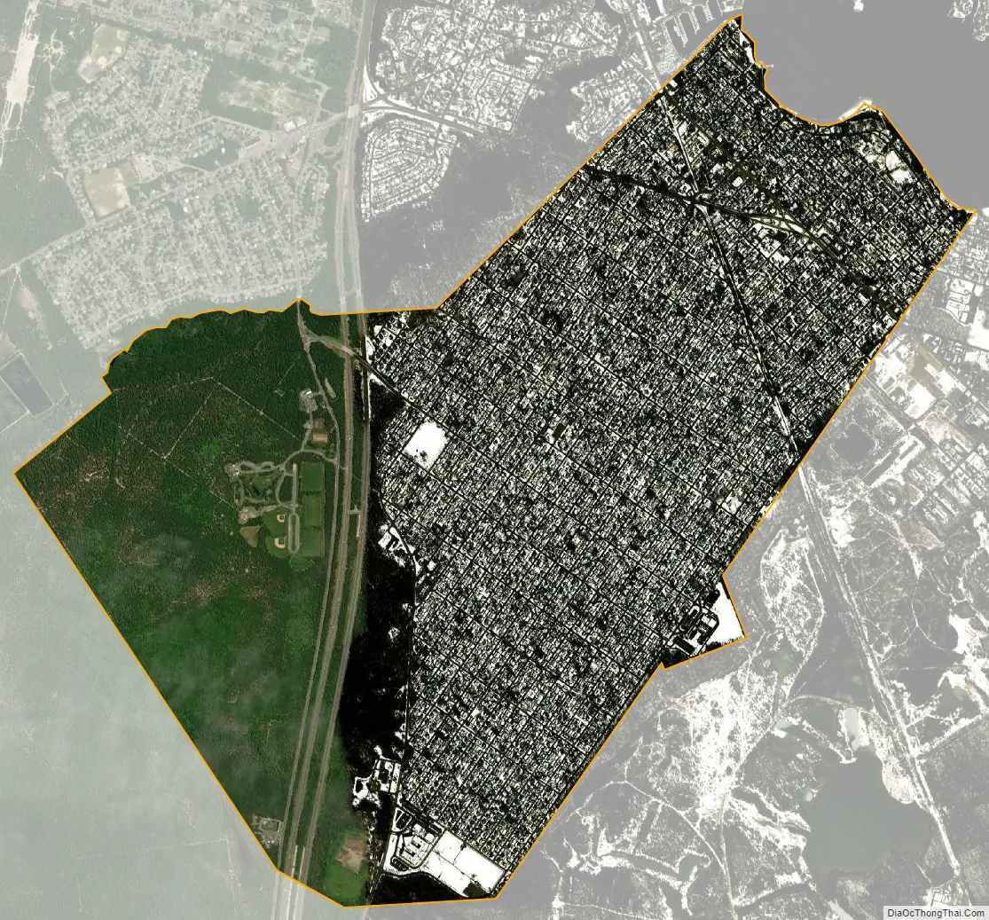
Beachwood city Satellite Map
Geography
According to the United States Census Bureau, the borough had a total area of 2.76 square miles (7.16 km), including 2.76 square miles (7.16 km) of land and <0.01 square miles (<0.01 km) of water (0.04%).
The borough borders the Ocean County municipalities of Berkeley Township, Pine Beach and South Toms River.
The borough is one of 11 municipalities in Ocean County that are part of the Toms River watershed.
See also
Map of New Jersey State and its subdivision: Map of other states:- Alabama
- Alaska
- Arizona
- Arkansas
- California
- Colorado
- Connecticut
- Delaware
- District of Columbia
- Florida
- Georgia
- Hawaii
- Idaho
- Illinois
- Indiana
- Iowa
- Kansas
- Kentucky
- Louisiana
- Maine
- Maryland
- Massachusetts
- Michigan
- Minnesota
- Mississippi
- Missouri
- Montana
- Nebraska
- Nevada
- New Hampshire
- New Jersey
- New Mexico
- New York
- North Carolina
- North Dakota
- Ohio
- Oklahoma
- Oregon
- Pennsylvania
- Rhode Island
- South Carolina
- South Dakota
- Tennessee
- Texas
- Utah
- Vermont
- Virginia
- Washington
- West Virginia
- Wisconsin
- Wyoming


