Cedar Glen West is an unincorporated community and census-designated place (CDP) located within Manchester Township, in Ocean County, New Jersey, United States. As of the 2010 United States Census, the CDP’s population was 1,267.
| Name: | Cedar Glen West CDP |
|---|---|
| LSAD Code: | 57 |
| LSAD Description: | CDP (suffix) |
| State: | New Jersey |
| County: | Ocean County |
| Elevation: | 79 ft (24 m) |
| Total Area: | 1.07 sq mi (2.78 km²) |
| Land Area: | 1.06 sq mi (2.75 km²) |
| Water Area: | 0.01 sq mi (0.03 km²) 1.06% |
| Total Population: | 1,379 |
| Population Density: | 1,299.72/sq mi (502.01/km²) |
| FIPS code: | 3411155 |
| GNISfeature ID: | 02389292 |
Online Interactive Map
Click on ![]() to view map in "full screen" mode.
to view map in "full screen" mode.
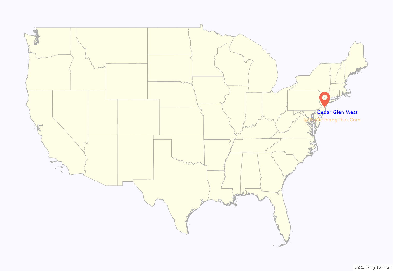
Cedar Glen West location map. Where is Cedar Glen West CDP?
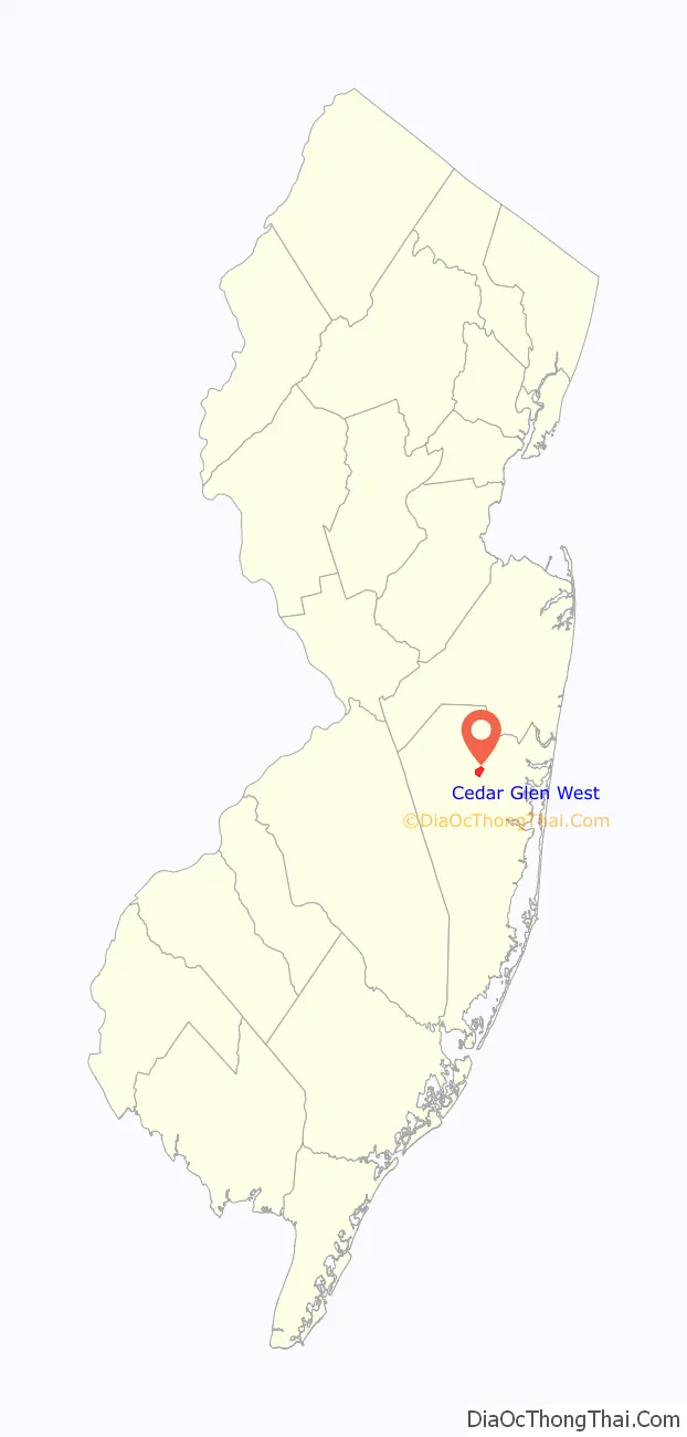
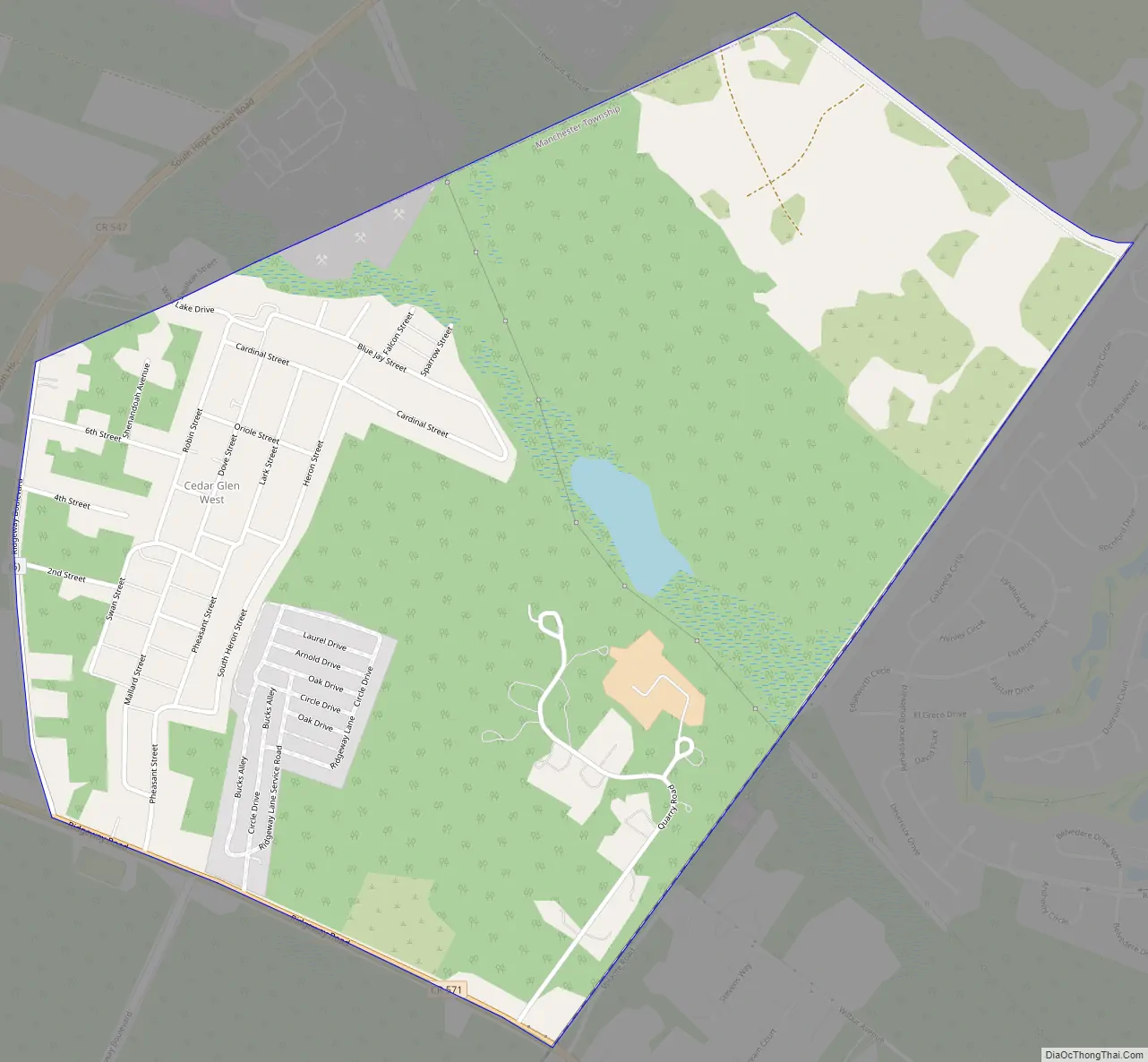
Cedar Glen West Road Map
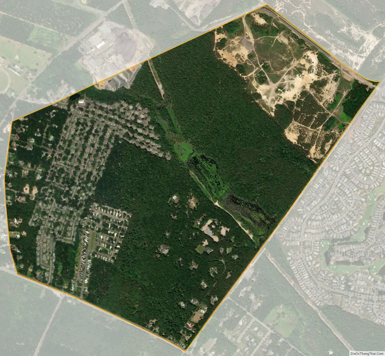
Cedar Glen West city Satellite Map
Geography
According to the United States Census Bureau, the CDP had a total area of 1.070 square miles (2.772 km), including 1.059 square miles (2.743 km) of land and 0.011 square miles (0.029 km) of water (1.06%). Situated between Ridgeway Boulevard and Ridgeway Road (County Route 571) in the northern part of the township, most of the area consists of the private Cedar Glen West Inc. private residential park comprising smaller one-story single family homes. A mobile home park and other scattered homes are located in the CDP as well.
See also
Map of New Jersey State and its subdivision: Map of other states:- Alabama
- Alaska
- Arizona
- Arkansas
- California
- Colorado
- Connecticut
- Delaware
- District of Columbia
- Florida
- Georgia
- Hawaii
- Idaho
- Illinois
- Indiana
- Iowa
- Kansas
- Kentucky
- Louisiana
- Maine
- Maryland
- Massachusetts
- Michigan
- Minnesota
- Mississippi
- Missouri
- Montana
- Nebraska
- Nevada
- New Hampshire
- New Jersey
- New Mexico
- New York
- North Carolina
- North Dakota
- Ohio
- Oklahoma
- Oregon
- Pennsylvania
- Rhode Island
- South Carolina
- South Dakota
- Tennessee
- Texas
- Utah
- Vermont
- Virginia
- Washington
- West Virginia
- Wisconsin
- Wyoming


