Pennington is a borough in Mercer County, in the U.S. state of New Jersey. The borough is located at the cross-roads between the Delaware Valley region to the south and the Raritan Valley region to the north. As of the 2020 United States census, the borough’s population was 2,802, an increase of 217 (+8.4%) from the 2010 census count of 2,585, which in turn reflected a decline of 111 (−4.1%) from the 2,696 counted in the 2000 census.
| Name: | Pennington borough |
|---|---|
| LSAD Code: | 21 |
| LSAD Description: | borough (suffix) |
| State: | New Jersey |
| County: | Mercer County |
| Incorporated: | January 31, 1890 |
| Elevation: | 210 ft (60 m) |
| Total Area: | 0.96 sq mi (2.50 km²) |
| Land Area: | 0.96 sq mi (2.49 km²) |
| Water Area: | 0.00 sq mi (0.01 km²) 0.31% |
| Total Population: | 2,802 |
| Population Density: | 2,916.0/sq mi (1,125.9/km²) |
| ZIP code: | 08534 |
| Area code: | 609 |
| FIPS code: | 3457600 |
| GNISfeature ID: | 885347 |
| Website: | www.penningtonboro.org |
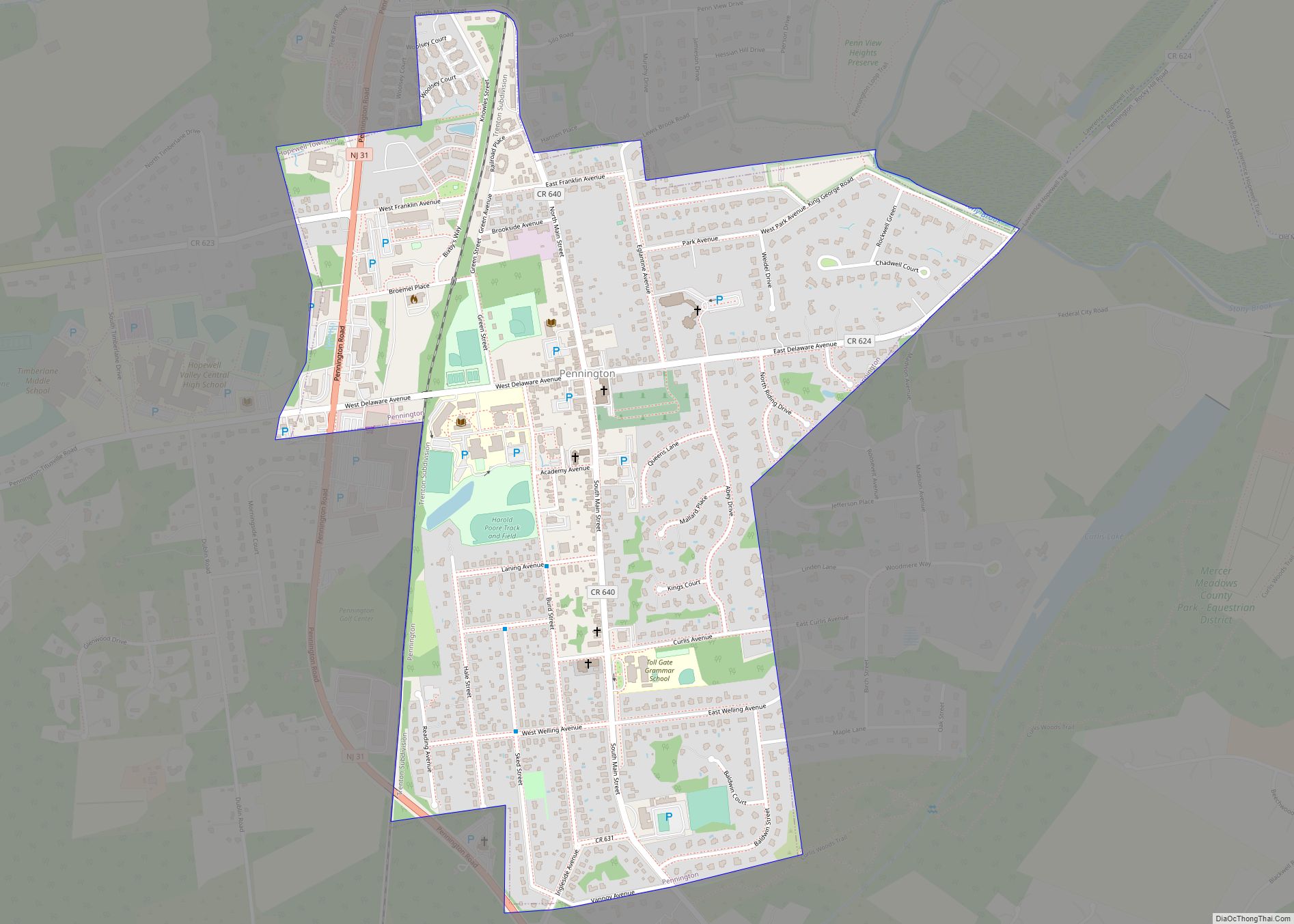
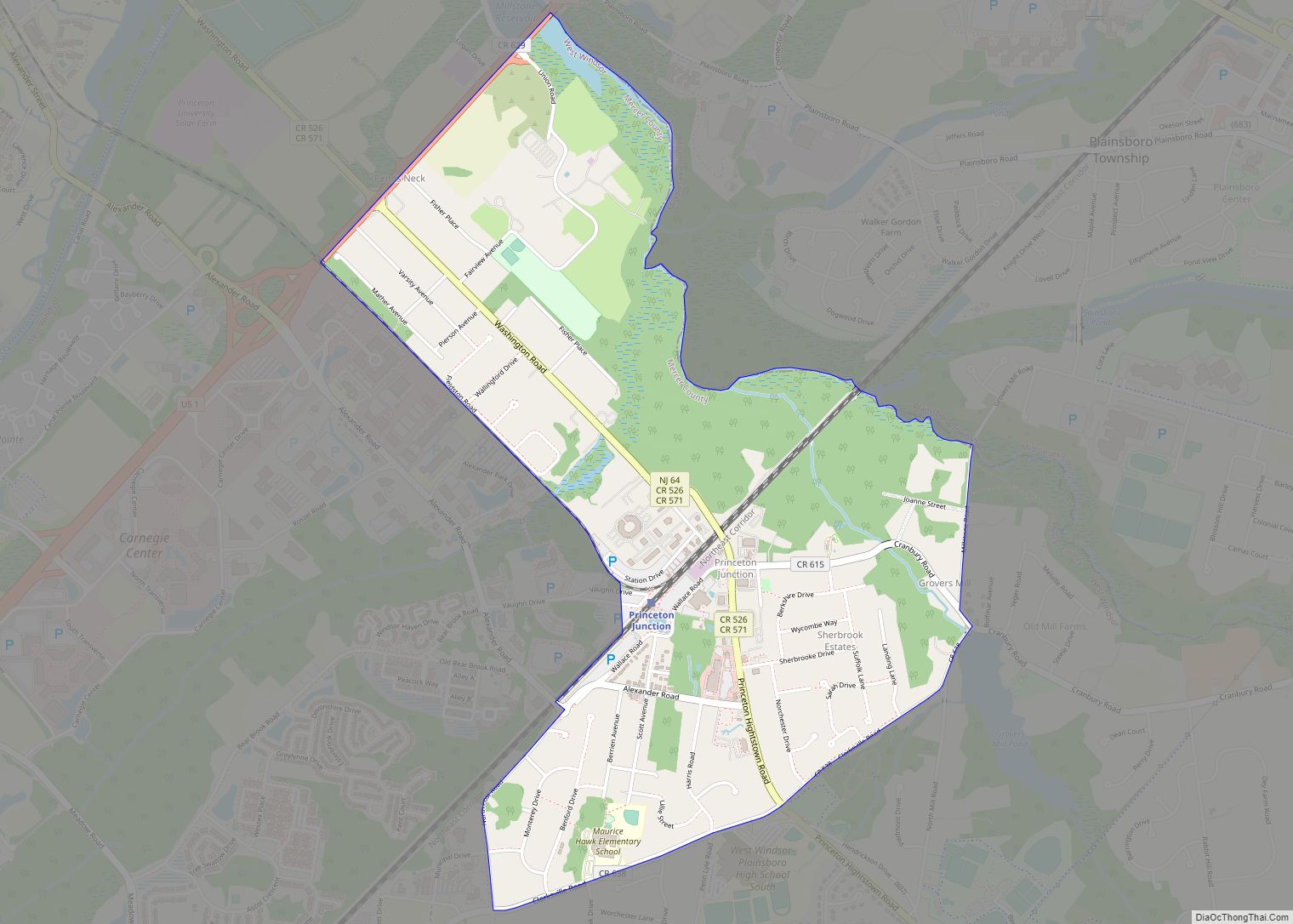
Online Interactive Map
Click on ![]() to view map in "full screen" mode.
to view map in "full screen" mode.
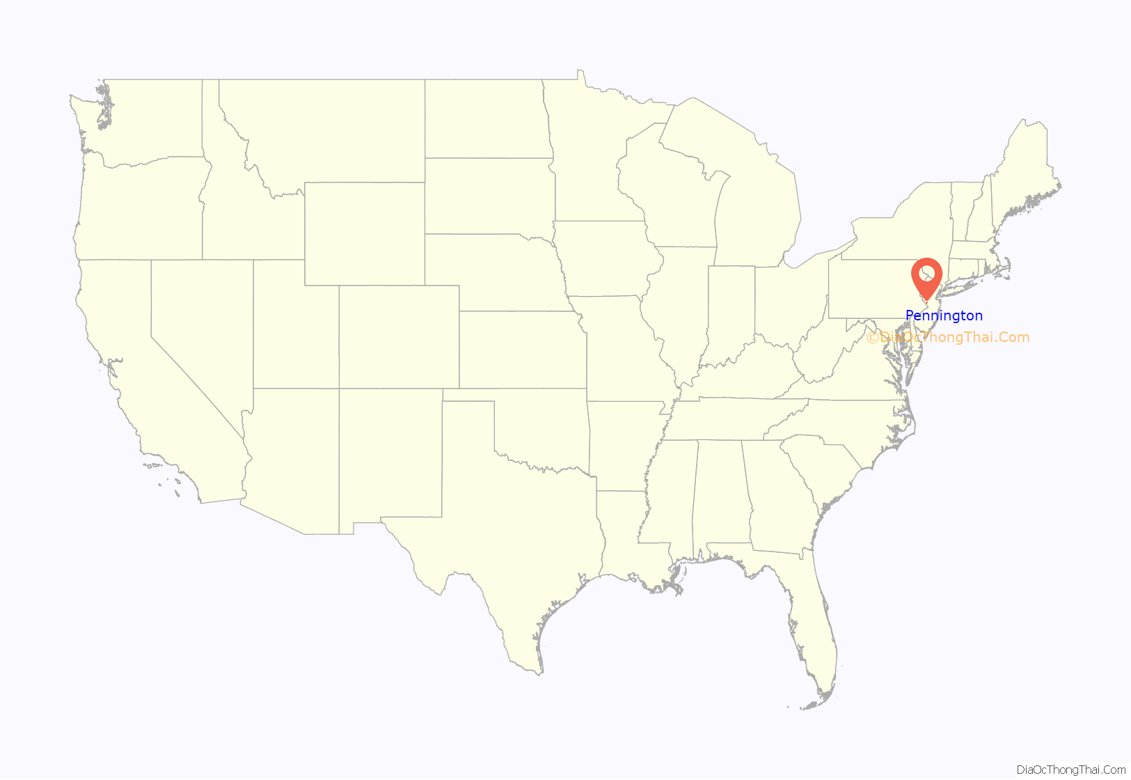
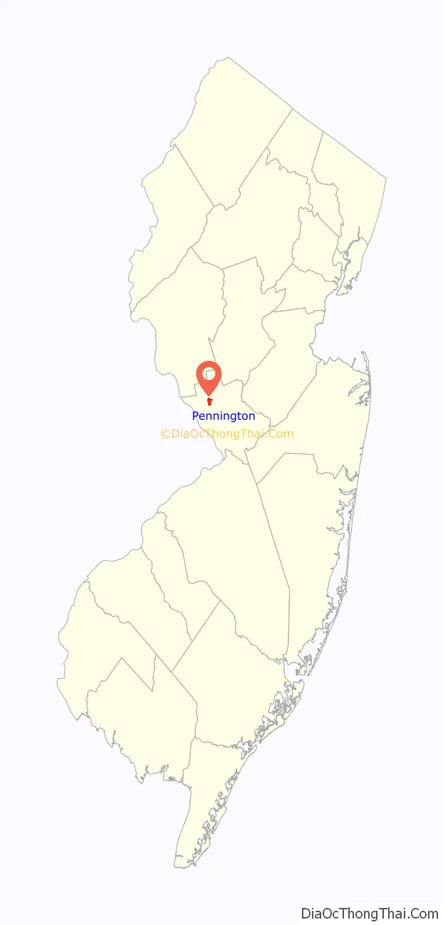
Pennington location map. Where is Pennington borough?
History
According to an 1883 history, “the first name of the village was Queenstown, which was given it in honor of Queen Anne. Later it was by some, in derision of its comparative insignificance, Pennytown, and as early as 1747 it began to be called Pennington.” The name “Penington” was already known in the area, as Edward Penington (1667–1701), son of the British Quaker leader Isaac Penington, was appointed by his kinsman William Penn as Surveyor General of Pennsylvania. His father-in-law was a longtime leader, including as governor, of the province of West Jersey, where Edward married. Henry Gannett attributes the borough’s name to colonial governors from the Pennington family.
Pennington was established as a borough by an act of the New Jersey Legislature on January 31, 1890, from portions of Hopewell Township, based on the results of a referendum held on January 21, 1890. It is a dry borough, where alcohol cannot be sold.
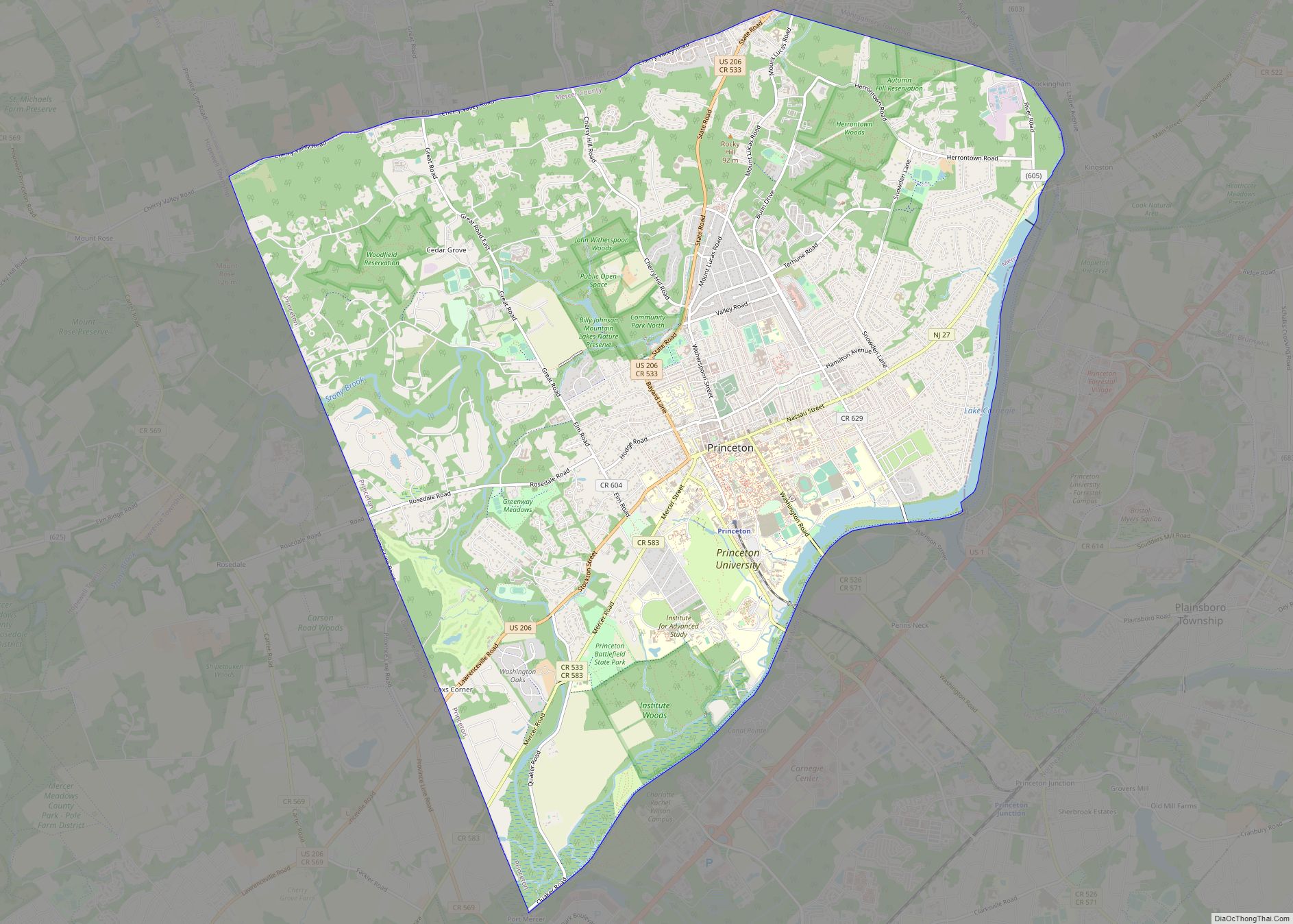
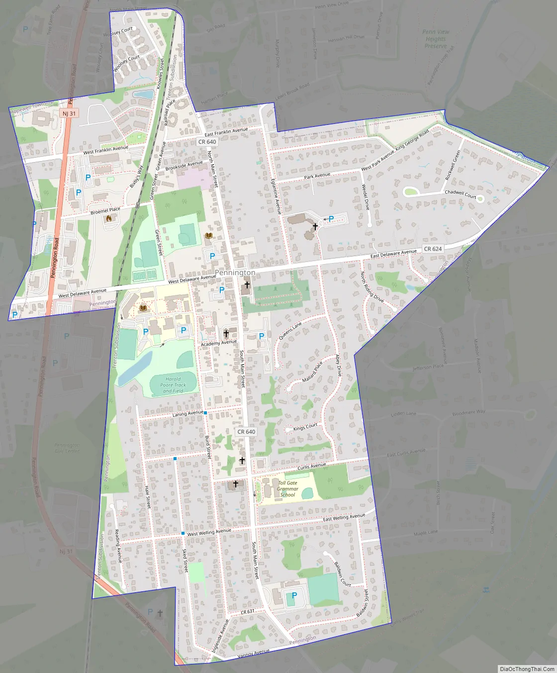
Pennington Road Map
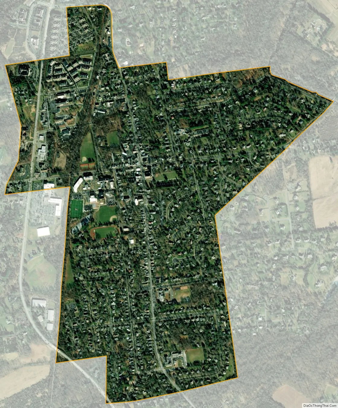
Pennington city Satellite Map
Geography
According to the United States Census Bureau, the borough had a total area of 0.96 square miles (2.50 km), including 0.96 square miles (2.49 km) of land and <0.01 square miles (0.01 km) of water (0.31%).
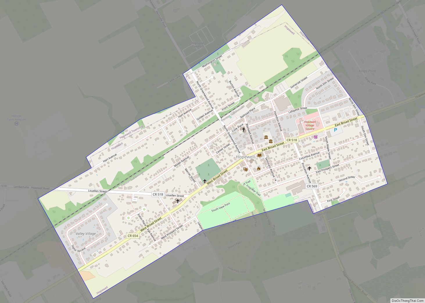
The borough is an independent municipality completely surrounded by Hopewell Township, making it part one of 21 pairs of “doughnut towns” in the state, where one municipality entirely surrounds another.
See also
Map of New Jersey State and its subdivision: Map of other states:- Alabama
- Alaska
- Arizona
- Arkansas
- California
- Colorado
- Connecticut
- Delaware
- District of Columbia
- Florida
- Georgia
- Hawaii
- Idaho
- Illinois
- Indiana
- Iowa
- Kansas
- Kentucky
- Louisiana
- Maine
- Maryland
- Massachusetts
- Michigan
- Minnesota
- Mississippi
- Missouri
- Montana
- Nebraska
- Nevada
- New Hampshire
- New Jersey
- New Mexico
- New York
- North Carolina
- North Dakota
- Ohio
- Oklahoma
- Oregon
- Pennsylvania
- Rhode Island
- South Carolina
- South Dakota
- Tennessee
- Texas
- Utah
- Vermont
- Virginia
- Washington
- West Virginia
- Wisconsin
- Wyoming