Forked River (/ˈfɔːrkɪd/) is an unincorporated community and census-designated place (CDP) located within Lacey Township, in Ocean County, in the U.S. state of New Jersey. As of the 2020 United States census, the CDP’s population was 5,274, an increase of 30 (+0.6%) from the 5,244 enumerated at the 2010 census, which in turn reflected an increase of 330 (+6.7%) from the 4.914 counted at the 2000 census.
Many Ocean County residents commonly refer to all of Lacey Township as Forked River with the first word pronounced with two syllables (/ˈfɔːrkɪd/). Pronouncing the first word with one syllable (/fɔːrkt/) is a sign of a new resident or outsider.
| Name: | Forked River CDP |
|---|---|
| LSAD Code: | 57 |
| LSAD Description: | CDP (suffix) |
| State: | New Jersey |
| County: | Ocean County |
| Elevation: | 13 ft (4 m) |
| Total Area: | 3.47 sq mi (8.99 km²) |
| Land Area: | 2.73 sq mi (7.08 km²) |
| Water Area: | 0.74 sq mi (1.91 km²) 73.66% |
| Total Population: | 5,274 |
| Population Density: | 1,928.3/sq mi (744.5/km²) |
| ZIP code: | 08731 |
| Area code: | 609 |
| FIPS code: | 3424180 |
| GNISfeature ID: | 02390441 |
Online Interactive Map
Click on ![]() to view map in "full screen" mode.
to view map in "full screen" mode.
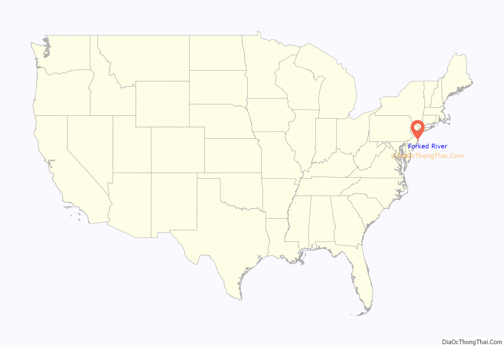
Forked River location map. Where is Forked River CDP?
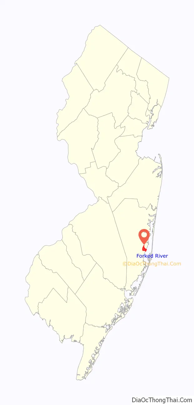
Forked River Road Map

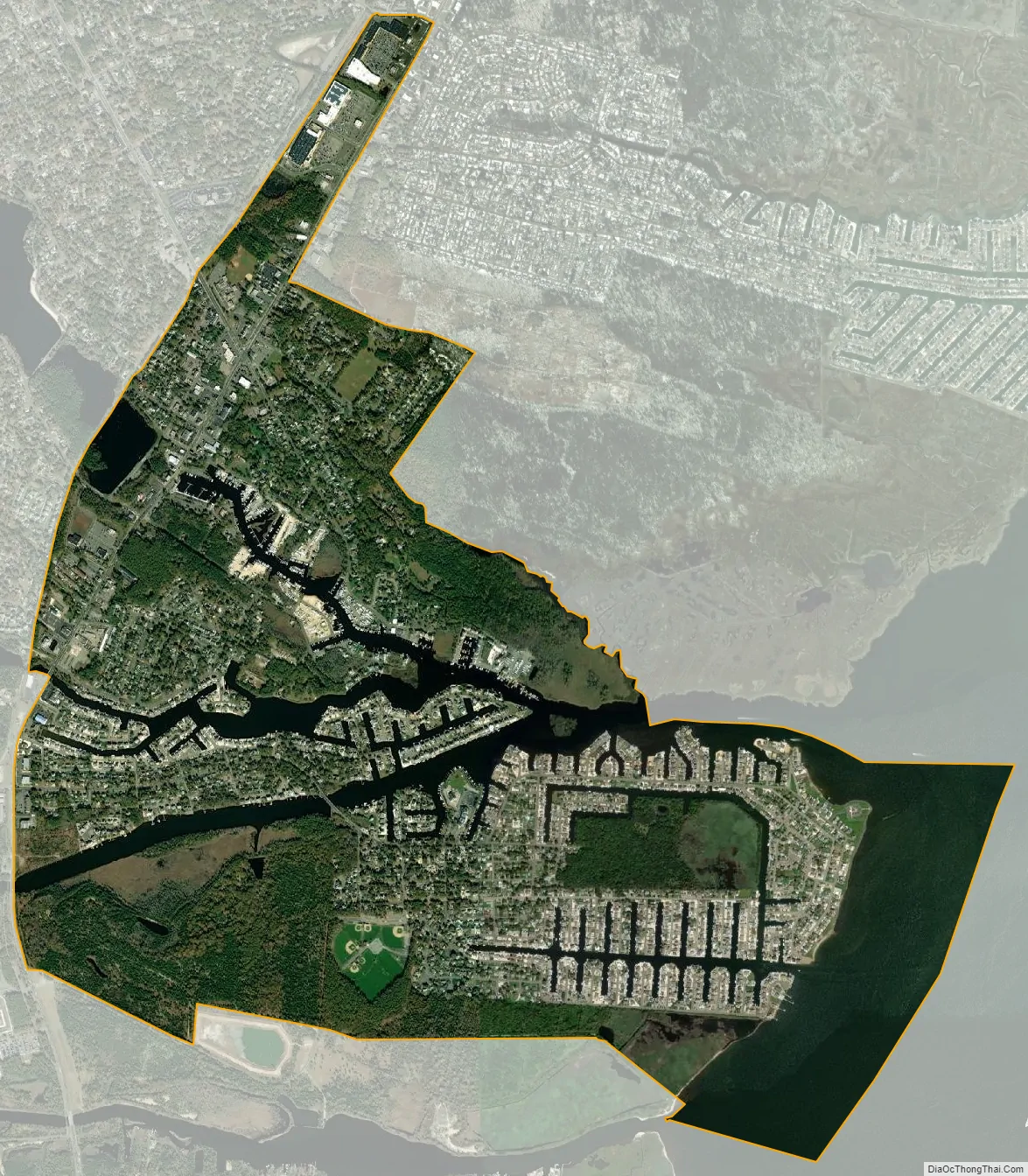
Forked River city Satellite Map
Geography
According to the U.S. Census Bureau, the CDP had a total area of 10.336 square miles (26.768 km), including 2.723 square miles (7.052 km) of land and 7.613 square miles (19.717 km) of water (73.66%).
Forked River is located on US Route 9 south of Toms River. The community of Lanoka Harbor is directly north of Forked River, Bamber Lake is to the west, Barnegat is to the southwest, and Waretown is to the south.
Forked River is also the name of a nearby river that empties into Barnegat Bay.
See also
Map of New Jersey State and its subdivision: Map of other states:- Alabama
- Alaska
- Arizona
- Arkansas
- California
- Colorado
- Connecticut
- Delaware
- District of Columbia
- Florida
- Georgia
- Hawaii
- Idaho
- Illinois
- Indiana
- Iowa
- Kansas
- Kentucky
- Louisiana
- Maine
- Maryland
- Massachusetts
- Michigan
- Minnesota
- Mississippi
- Missouri
- Montana
- Nebraska
- Nevada
- New Hampshire
- New Jersey
- New Mexico
- New York
- North Carolina
- North Dakota
- Ohio
- Oklahoma
- Oregon
- Pennsylvania
- Rhode Island
- South Carolina
- South Dakota
- Tennessee
- Texas
- Utah
- Vermont
- Virginia
- Washington
- West Virginia
- Wisconsin
- Wyoming


