Hackettstown is a town in Warren County, in the U.S. state of New Jersey. It is perhaps best known as the home to the world headquarters of the Mars, Incorporated. As of the 2020 United States census, the town’s population was 10,248, an increase of 524 (+5.4%) from the 2010 census count of 9,724, which in turn reflected a decline of 679 (−6.5%) from the 10,403 counted in the 2000 census.
Hackettstown was incorporated as a town by an act of the New Jersey Legislature on March 9, 1853, from portions of Independence Township. Portions of territory were exchanged with Mansfield Township in 1857, 1860, 1872 and 1875.
| Name: | Hackettstown town |
|---|---|
| LSAD Code: | 43 |
| LSAD Description: | town (suffix) |
| State: | New Jersey |
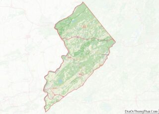
| County: | Warren County |
| Incorporated: | March 9, 1853 |
| Elevation: | 554 ft (169 m) |
| Total Area: | 3.71 sq mi (9.61 km²) |
| Land Area: | 3.61 sq mi (9.35 km²) |
| Water Area: | 0.10 sq mi (0.26 km²) 2.67% |
| Total Population: | 10,248 |
| Population Density: | 2,837.2/sq mi (1,095.4/km²) |
| ZIP code: | 07840 |
| Area code: | 908 |
| FIPS code: | 3428710 |
| GNISfeature ID: | 0885237 |
| Website: | www.hackettstown.net |
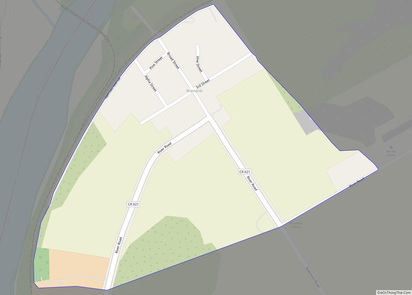
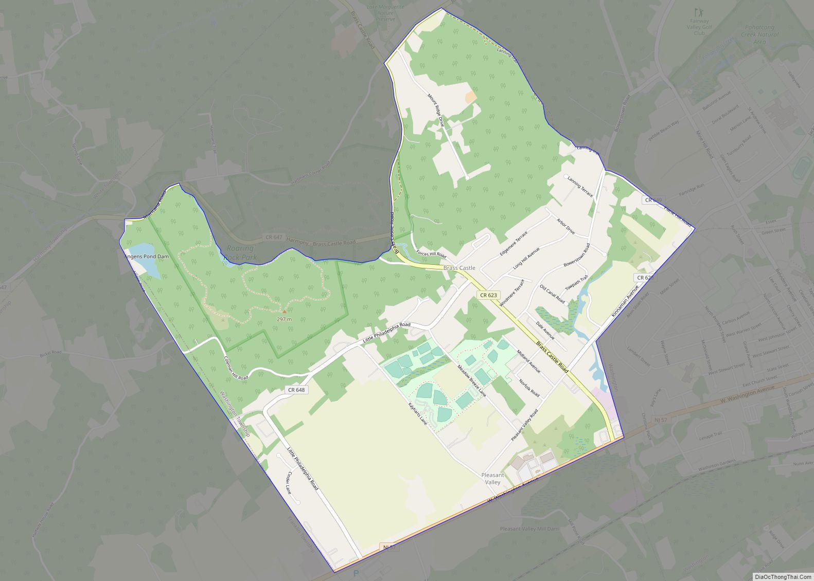
Online Interactive Map
Click on ![]() to view map in "full screen" mode.
to view map in "full screen" mode.
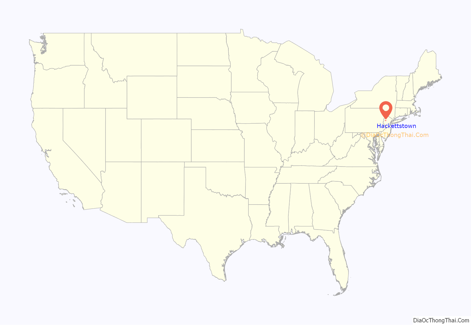
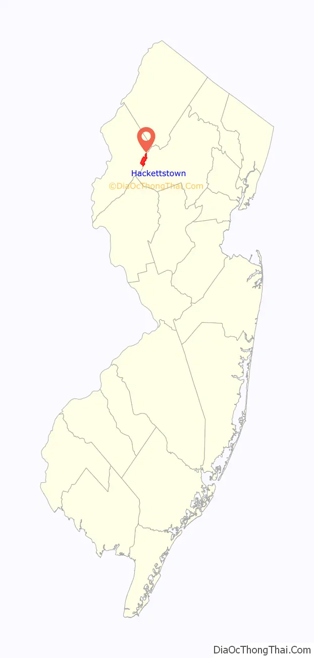
Hackettstown location map. Where is Hackettstown town?
History
Founding
William Johnson (1817–1891) was a prime contributor to the incorporation of the town in 1853. He and his brother George (1815–1889) were successful merchants in the town beginning in 1839 when they began operating the W.L. & G.W Johnson dry good store. The two men were very active in community affairs. George was a member of First Presbyterian Church, a director of the Hackettstown National Bank, and a member of the Hackettstown Water Board. Both men were involved in the establishment of the Union Cemetery.
Hackettstown was named after Samuel Hackett, an early settler and large landowner. Hackett is said to have “contributed liberally to the liquid refreshments on the christening of a new hotel, in order to secure the name which, before this, had been Helms’ Mills or Musconetcong.”
Tillie Smith murder case
In 1886, Tillie Smith, a 19-year-old kitchen worker from a poverty-stricken family, was raped, murdered and left lying in an open field on the campus of the Centenary Collegiate Institute, where she worked. James Titus, a janitor at the school, was tried and convicted of the rape and murder, based on circumstantial evidence and public opinion shaped by yellow journalism. Titus was sentenced to hang, but he signed a confession and served 19 years of hard labor. He lived from 1904 to 1952 in Hackettstown among many of the same residents who championed his conviction, the validity of which remains controversial. The killing remains a popular local legend, inspiring several books, Weird NJ magazine articles, theatrical performances and dark tourism ghost tours.
20th century
The Hackettstown State Fish Hatchery, a popular tourist destination, was established in 1912.
In 1925, a train wreck just outside of town killed about 50 people and injured about 50 others en route to Hoboken, New Jersey from Chicago, Illinois. The derailment involved a Lackawanna Railroad train and occurred at the Hazen Road grade crossing near Rockport Road at approximately 3:30AM, as a result of debris washed downhill by a storm fouling the road crossing. The event made national headlines and stands as the deadliest event in Warren County history.
Fund-raising campaigns for a new hospital started as early as 1945, supported and organized by local civic and business groups including Kiwanis, Unico International, PTA and others, a large donation by the Seventh Day Adventists and a grant from the United States Public Health Service, the 106-bed Hackettstown Community Hospital was established in 1973.
In 1977, a shooting occurred in the town when a 20-year-old graduate of Hackettstown High School and former U.S. Marine, Emil Pierre Benoist, took random shots at passing cars over the course of about four hours and shot and killed six people, before turning his sniper rifle on himself.
In 1994, a charity BBQ picnic organized by the “Tri-County Motorcycle Club” at the Elk’s Lodge in Hackettstown was crashed by rival members of the outlaw Pagan’s Motorcycle Club. “An altercation started that escalated into knives and guns being used,” according to the Warren County Prosecutor. Two Pagans were killed and three other bikers were injured.
21st Century
Hackettstown was named #72 of the top 100 towns in the United States to Live and Work In by Money Magazine in 2005; it has not been included since.
In 2011, the town council proclaimed a sister city relationship with Hacketstown, Ireland.
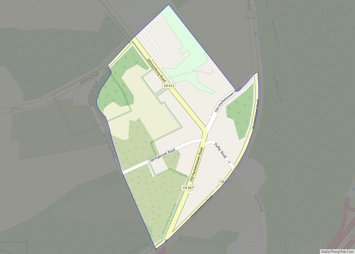
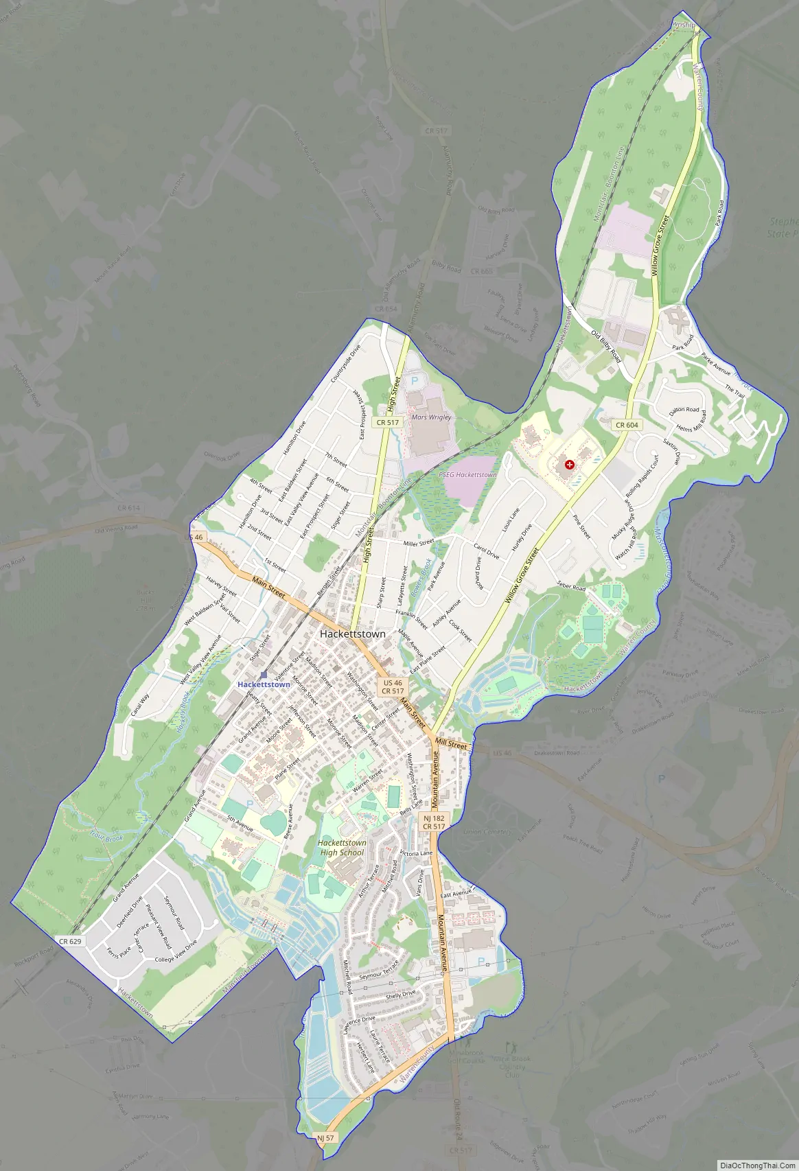
Hackettstown Road Map
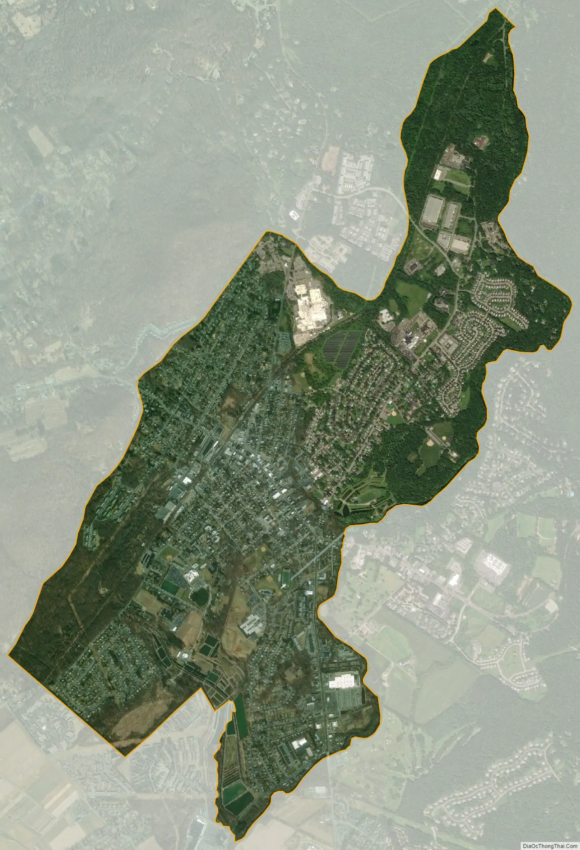
Hackettstown city Satellite Map
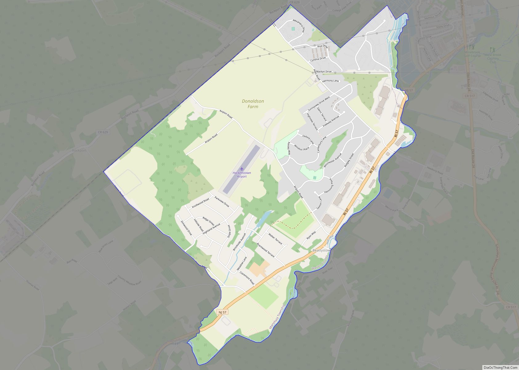
Geography
According to the United States Census Bureau, the town had a total area of 3.71 square miles (9.61 km), including 3.61 square miles (9.35 km) of land and 0.10 square miles (0.26 km) of water (2.67%). The town is located in a valley along the banks of the Musconetcong River.
Upper Pohatcong Mountain extends northeast of Washington approximately 6 mi (9.7 km).
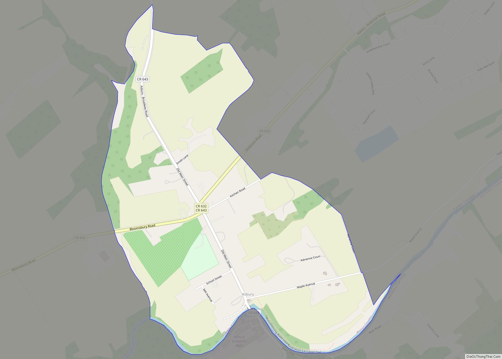
Unincorporated communities, localities and place names located partially or completely within the town include Warren Furnace.
Hackettstown borders the townships of Washington (Morris County) to the southeast, Mansfield to the southwest, Allamuchy to the north, Mount Olive to the northeast, and Independence to the west.
Hackettstown is 49.6 miles (79.8 km) northeast of Allentown and 55.3 miles (89.0 km) northwest of New York City.
See also
Map of New Jersey State and its subdivision: Map of other states:- Alabama
- Alaska
- Arizona
- Arkansas
- California
- Colorado
- Connecticut
- Delaware
- District of Columbia
- Florida
- Georgia
- Hawaii
- Idaho
- Illinois
- Indiana
- Iowa
- Kansas
- Kentucky
- Louisiana
- Maine
- Maryland
- Massachusetts
- Michigan
- Minnesota
- Mississippi
- Missouri
- Montana
- Nebraska
- Nevada
- New Hampshire
- New Jersey
- New Mexico
- New York
- North Carolina
- North Dakota
- Ohio
- Oklahoma
- Oregon
- Pennsylvania
- Rhode Island
- South Carolina
- South Dakota
- Tennessee
- Texas
- Utah
- Vermont
- Virginia
- Washington
- West Virginia
- Wisconsin
- Wyoming