Haddonfield is a borough located in Camden County, in the U.S. state of New Jersey. As of the 2020 United States census, the borough’s population was 12,550, an increase of 957 (+8.3%) from the 2010 census count of 11,593, which in turn reflected a decline of 66 (−0.6%) from the 11,659 counted in the 2000 Census
Haddonfield was incorporated by an act of the New Jersey Legislature on April 6, 1875, within portions of Haddon Township following a referendum on the same day. The borough became an independent municipality in 1894. The borough was named for Elizabeth Haddon, an early settler of the area.
| Name: | Haddonfield borough |
|---|---|
| LSAD Code: | 21 |
| LSAD Description: | borough (suffix) |
| State: | New Jersey |
| County: | Camden County |
| Incorporated: | April 6, 1875 |
| Elevation: | 75 ft (23 m) |
| Total Area: | 2.84 sq mi (7.36 km²) |
| Land Area: | 2.80 sq mi (7.24 km²) |
| Water Area: | 0.04 sq mi (0.12 km²) 1.58% |
| Total Population: | 12,550 |
| Population Density: | 4,488.6/sq mi (1,733.1/km²) |
| ZIP code: | 08033 |
| Area code: | 856 |
| FIPS code: | 3428770 |
| GNISfeature ID: | 0885238 |
| Website: | www.haddonfieldnj.org |
Online Interactive Map
Click on ![]() to view map in "full screen" mode.
to view map in "full screen" mode.
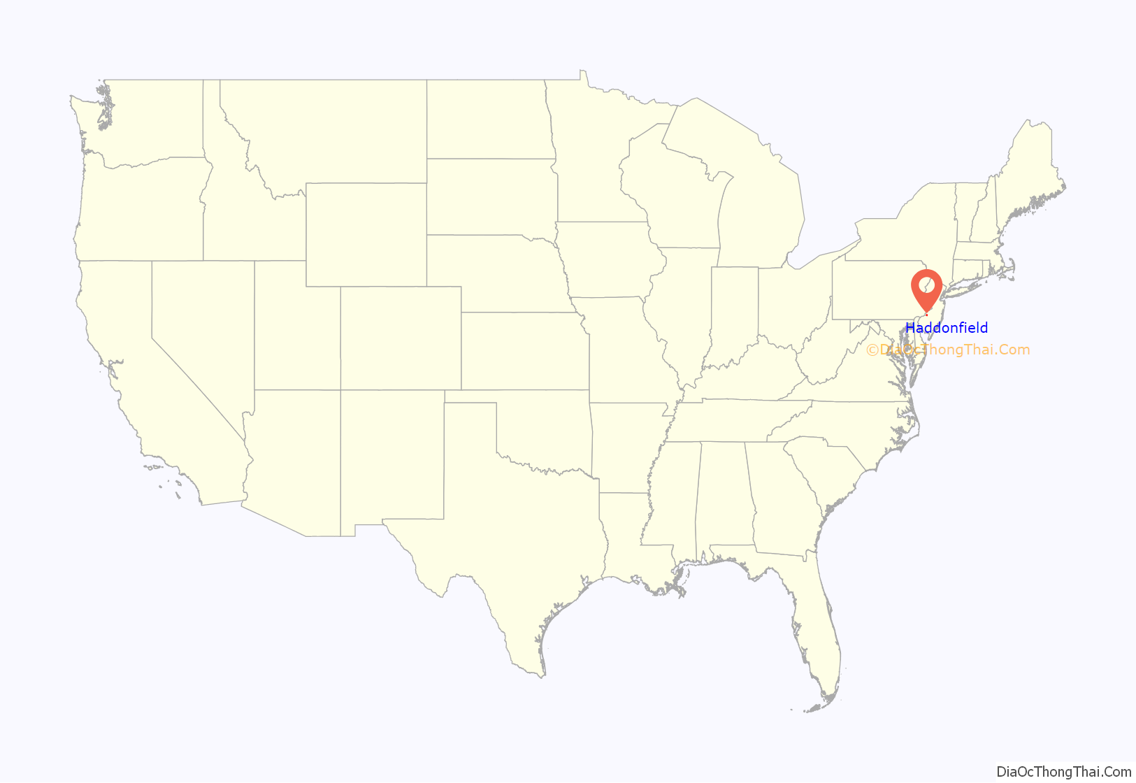
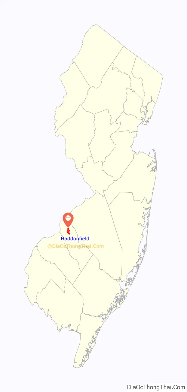
Haddonfield location map. Where is Haddonfield borough?
History
The Haddonfield area was occupied by Lenni Lenape Native Americans. The Lenape disappeared from the local area when settlers arrived. Arrowheads and pottery shards have been found by residents by the banks of the Cooper River, hinting that there was a Native American settlement in Haddonfield at one point in time.
On October 23, 1682, Francis Collins, an English Quaker and a bricklayer by trade, became the first settler within the boundaries of what today is Haddonfield. Collins soon built a house, “Mountwell,” on a tract of 400 acres. Haddonfield was further developed by Elizabeth Haddon (1680–1762), whose Quaker father, John Haddon, bought a 500 acres (2.0 km) tract of land in the English colony of West Jersey to escape religious persecution. Elizabeth set sail alone from Southwark, England to the New World in 1701. Shortly after her arrival, she made a marriage proposal to John Estaugh, a Quaker minister, and they were married in 1702. The town was named for John Haddon, though he never came to America.
The Indian King Tavern, built in 1750, played a significant role in the American Revolutionary War. During that war, the New Jersey Legislature met there, avoiding British forces, and in 1777, declared New Jersey to be an independent state. Today the tavern is a state historical site and museum. Nevertheless, since 1873, Haddonfield has been a dry town where alcohol cannot be sold though it can be brewed and distributed in town.
Haddonfield is a significant historic paleontology site. In 1838, William Estaugh Hopkins uncovered large bones in a marl pit in which he was digging. Hopkins displayed the bones at his home, Birdwood; and these bones sparked the interest of a visitor, William Foulke. In 1858, Foulke dug from the marl pit the first relatively complete skeleton of a dinosaur found in North America, Hadrosaurus foulkii. The skeleton was assembled in 1868 and is still displayed at Philadelphia Academy of Natural Sciences. A 12-foot (3.7 m) replica of “Haddy” stands in the center of town. Hadrosaurus was recognized officially as the state dinosaur of New Jersey in June 1991.
In 1875, Haddonfield became the first community to secede from Haddon Township and become a self-governing borough. Haddonfield is noted for its historic homes, quaint shops, and legions of lawyers. As a legal center for southern New Jersey, the town houses the offices of more than 390 attorneys.
Haddonfield once was home to Symphony in C (formerly the Haddonfield Symphony), which is now based in nearby Collingswood, and performs at the Gordon Theater at Rutgers University-Camden.
Haddonfield is home to the second oldest volunteer fire company in continuous service in the United States. Haddon Fire Company No. 1 was established as Friendship Fire Company on March 8, 1764, by 26 townsmen. Each member was to furnish two leather buckets while the company supplied six ladders and three fire hooks.
In 1971, Haddonfield became the second municipality in New Jersey (after Cape May) to establish a historic preservation district. In keeping with the historic appearance of the borough, some candidates for commissioner distribute colored ribbons to their supporters instead of yard signs.
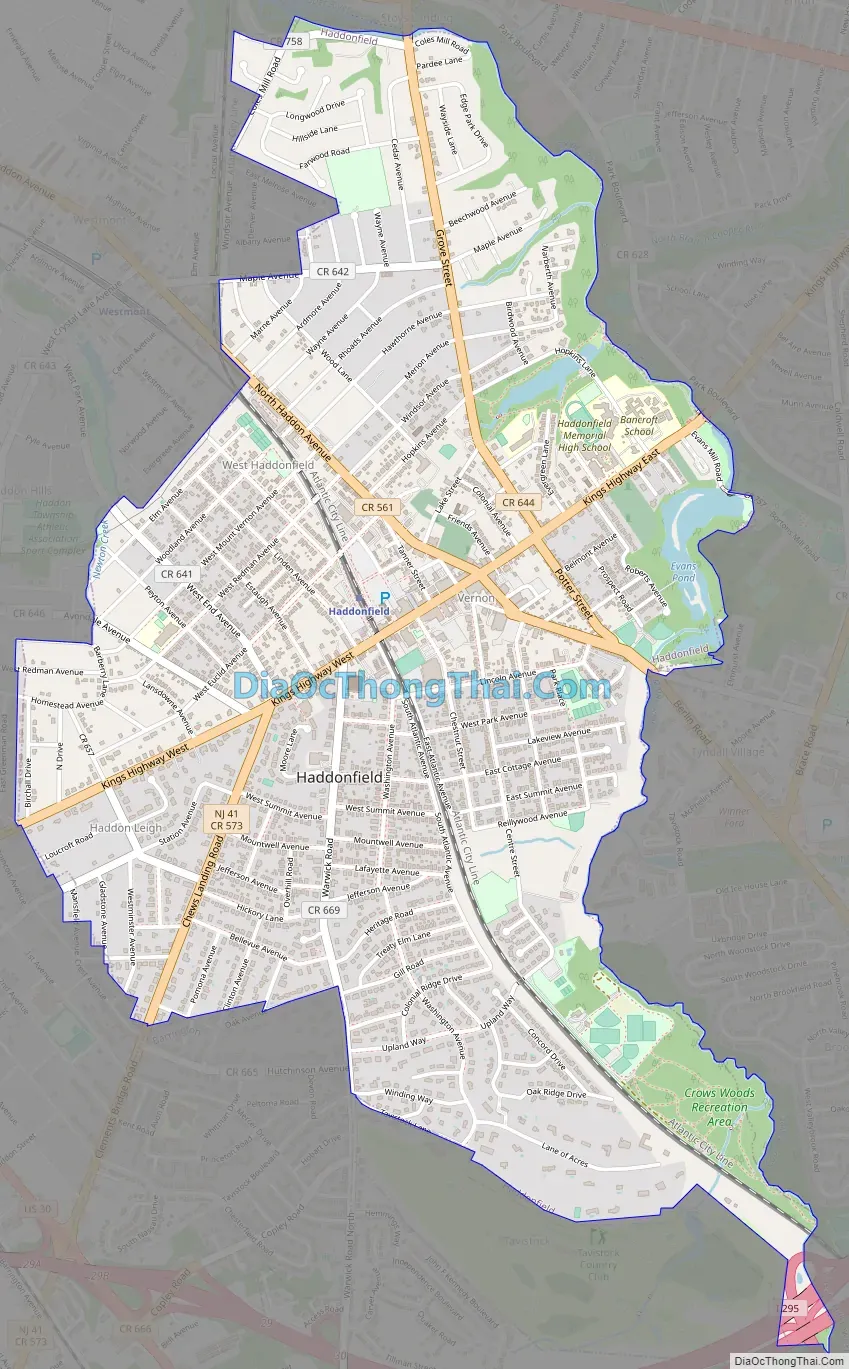
Haddonfield Road Map
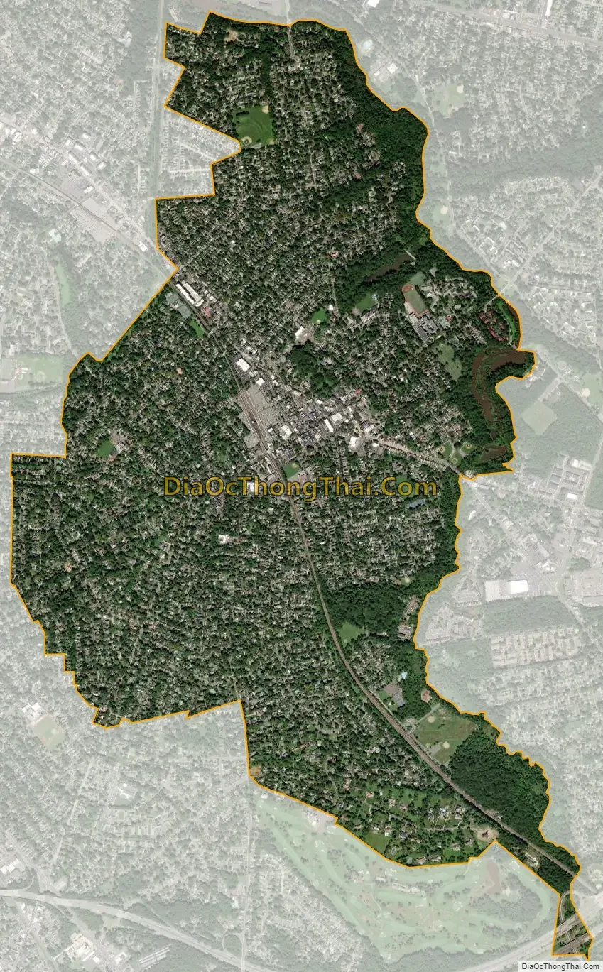
Haddonfield city Satellite Map
Geography
According to the United States Census Bureau, the borough had a total area of 2.84 square miles (7.36 km), including 2.80 square miles (7.24 km) of land and 0.05 square miles (0.12 km) of water (1.58%).
The Cooper River forms the border between Haddonfield and Cherry Hill. Haddonfield shares land borders with Audubon, Barrington, Haddon Township, Haddon Heights, Lawnside, and Tavistock.
Bodies of water
- Driscoll Pond, contained by a small wooden dam, is below Hopkins Pond, and Hopkins Pond flows into it. Driscoll Pond is part of the Hopkins Pond park.
- Hopkins Pond is contained by a large earthen dam, and Hopkins Lane is built atop it. In recent years, local officials have raised concerns about the pond being contaminated with cyanobacteria that can produce toxic algae blooms.
- Evans Pond is part of Wallworth Park and located above Wallworth Lake with a dam separating the two. Formerly Evans Pond was deep enough for small boats to sail on it.
- Wallworth Lake, in Wallworth Park, is below Evans Pond, and contained by another dam.
See also
Map of New Jersey State and its subdivision: Map of other states:- Alabama
- Alaska
- Arizona
- Arkansas
- California
- Colorado
- Connecticut
- Delaware
- District of Columbia
- Florida
- Georgia
- Hawaii
- Idaho
- Illinois
- Indiana
- Iowa
- Kansas
- Kentucky
- Louisiana
- Maine
- Maryland
- Massachusetts
- Michigan
- Minnesota
- Mississippi
- Missouri
- Montana
- Nebraska
- Nevada
- New Hampshire
- New Jersey
- New Mexico
- New York
- North Carolina
- North Dakota
- Ohio
- Oklahoma
- Oregon
- Pennsylvania
- Rhode Island
- South Carolina
- South Dakota
- Tennessee
- Texas
- Utah
- Vermont
- Virginia
- Washington
- West Virginia
- Wisconsin
- Wyoming


