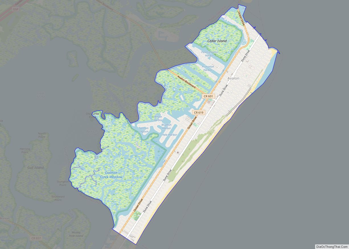
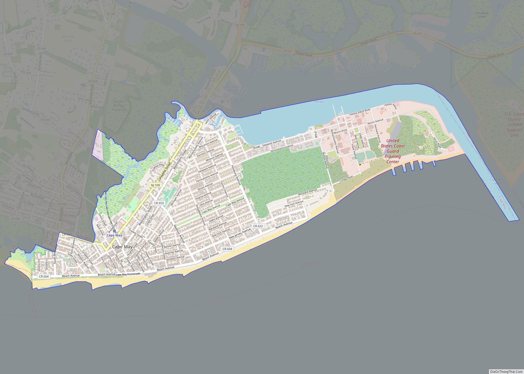
Cape May (sometimes Cape May City) is a city located at the southern tip of Cape May Peninsula in Cape May County in the U.S. state of New Jersey. Located where the Delaware Bay meets the Atlantic Ocean, it is one of the country’s oldest vacation resort destinations. The city, and all of Cape May County, is part of the Ocean City metropolitan statistical area, and is part of the Philadelphia–Wilmington–Camden, PA-NJ-DE–MD combined statistical area, also known as the Delaware Valley or Philadelphia metropolitan area.
As of the 2020 United States census, the city’s year-round population was 2,768, a decrease of 839 (−23.3%) from the 2010 census count of 3,607, which in turn reflected a decline of 427 (−10.6%) from the 4,034 counted in the 2000 census. In the summer, Cape May’s population is expanded by as many as 40,000 to 50,000 visitors. The entire city of Cape May is designated the Cape May Historic District, a National Historic Landmark due to its concentration of Victorian architecture.
Cape May was recognized as one of the top 10 beaches in the United States by the Travel Channel. It is part of the South Jersey region of the state.
| Name: | Cape May city |
|---|---|
| LSAD Code: | 25 |
| LSAD Description: | city (suffix) |
| State: | New Jersey |
| County: | Cape May County |
| Incorporated: | March 8, 1848, as Cape Island Borough |
| Elevation: | 10 ft (3 m) |
| Total Area: | 2.90 sq mi (7.50 km²) |
| Land Area: | 2.47 sq mi (6.41 km²) |
| Water Area: | 0.42 sq mi (1.10 km²) 14.59% |
| Population Density: | 1,119.2/sq mi (432.1/km²) |
| ZIP code: | 08204 |
| Area code: | 609 |
| FIPS code: | 3410270 |
| GNISfeature ID: | 0885178 |
| Website: | www.capemaycity.com |
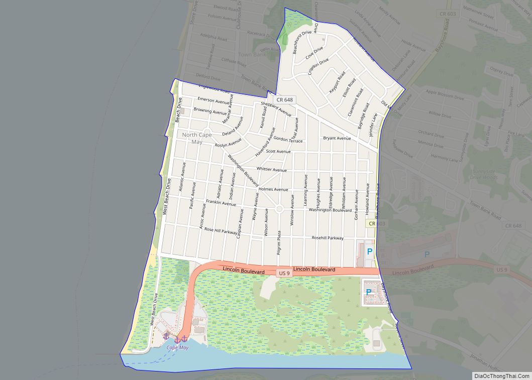
Online Interactive Map
Click on ![]() to view map in "full screen" mode.
to view map in "full screen" mode.
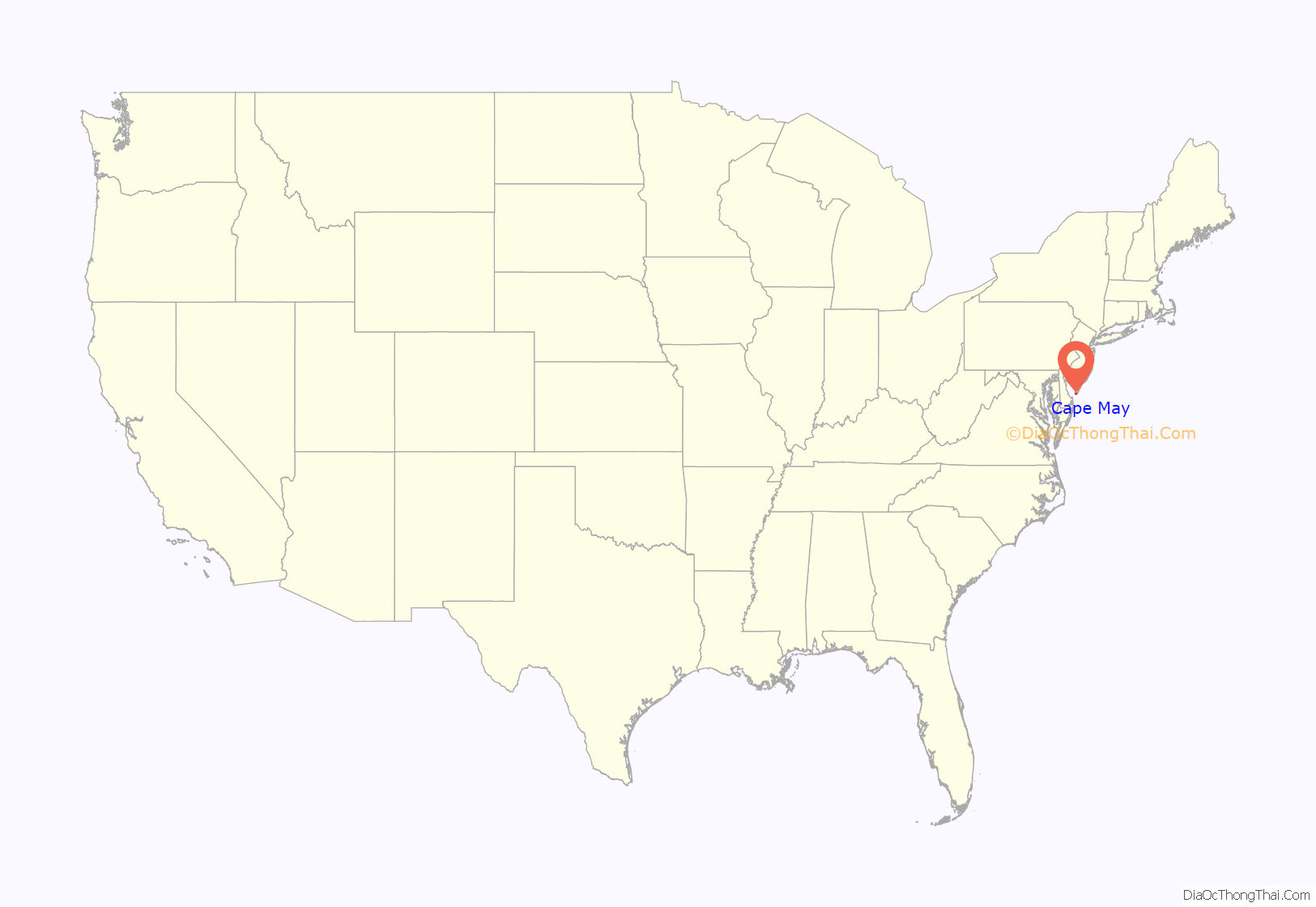
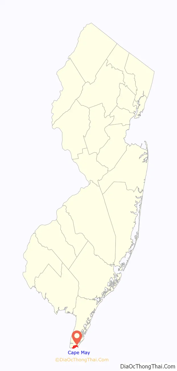
Cape May location map. Where is Cape May city?
History
17th and 18th centuries
The area was originally settled by the Kechemeche Native American tribe, who were part of the Lenape tribe. The Kechemeche first encountered European colonialists around 1600. The city was named for the Dutch captain Cornelius Jacobsen Mey, who explored and charted the area between 1611–1614 and established a claim for the province of New Netherland. It was later settled by New Englanders from the New Haven Colony.
Cape May began hosting vacationers from Philadelphia in the mid-18th century and is recognized as the country’s oldest seaside resort.
19th century
Following the construction of Congress Hall in 1816, Cape May became increasingly popular in the 19th century and was considered one of the finest resorts in America by the 20th century.
What is now Cape May was formed as the borough of Cape Island by the New Jersey Legislature on March 8, 1848, from portions of Lower Township. It was reincorporated as Cape Island City on March 10, 1851, and was renamed Cape May City on March 9, 1869.
Tourism to the city was boosted in 1963 with the opening of the Tuckahoe and Cape May Railroad.
The city suffered devastating fires in 1869 and 1878. In the early hours of August 31, 1869, a fire broke out in the Japanese store on Washington Street. The fire destroyed the post office and at least thirty-five other buildings. Press reports at the time did not mention any deaths. In 1878, a five-day-long fire destroyed 30 blocks of the town center. Replacement homes were almost uniformly of Victorian style, and more recent protectionist efforts have left Cape May with many famously well-maintained Victorian houses—the second largest collection of such homes in the nation after San Francisco.
20th century
Because of the World War II submarine threat off the East Coast of the United States, especially off the shore of Cape May and at the mouth of the Delaware Bay, numerous United States Navy facilities were located here in order to protect American coastal shipping. Cape May Naval facilities, listed below, provided significant help in reducing the number of ships and crew members lost at sea.
- Naval Air Station, Cape May
- Naval Base, Cape May
- Inshore Patrol, Cape May
- Naval Annex, Inshore Patrol, Cape May
- Joint Operations Office, Naval Base, Cape May
- Welfare and Recreation Office, Cape May
- Dispensary, Naval Air Station, Cape May
- Naval Frontier Base, Cape May
- Degaussing Range (Cold Spring Inlet), Naval Base, Cape May
- Joint Operations Office, Commander Delaware Group, ESF, Cape May
- Anti-Submarine Attack Teacher Training Unit, U.S. Naval Base, Cape May
- Naval Annex, Admiral Hotel, Cape May
In 1976, Cape May was designated a National Historic Landmark as the Cape May Historic District, making Cape May the only city in the U.S. to be wholly designated as a national historic district. That designation is intended to ensure the architectural preservation of these buildings.
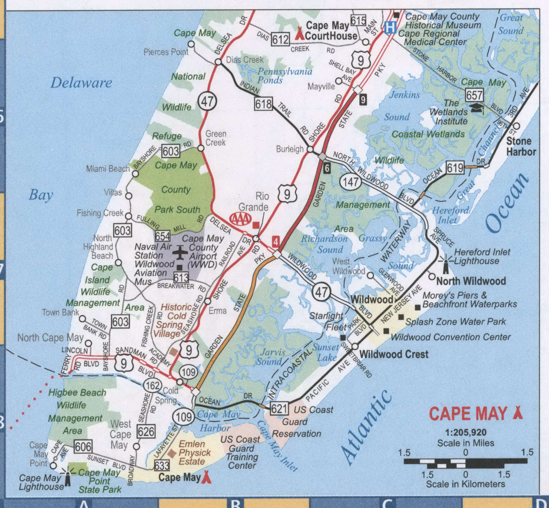
Cape May Road Map
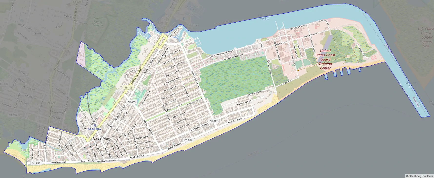
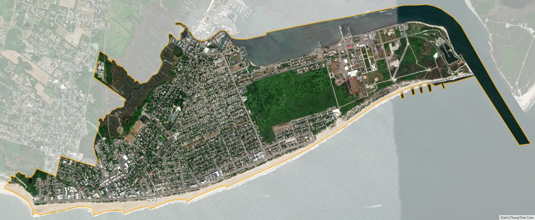
Cape May city Satellite Map
Geography
According to the U.S. Census Bureau, Cape May had a total area of 2.90 square miles (7.50 km), including 2.47 square miles (6.41 km) of land and 0.42 square miles (1.10 km) of water (14.59%). Cape May is generally low-lying; its highest point, at the intersection of Washington and Jackson Streets, is 14 ft (4.3 m) above sea level.
Unincorporated communities, localities and place names located partially or completely within the city include Poverty Beach.
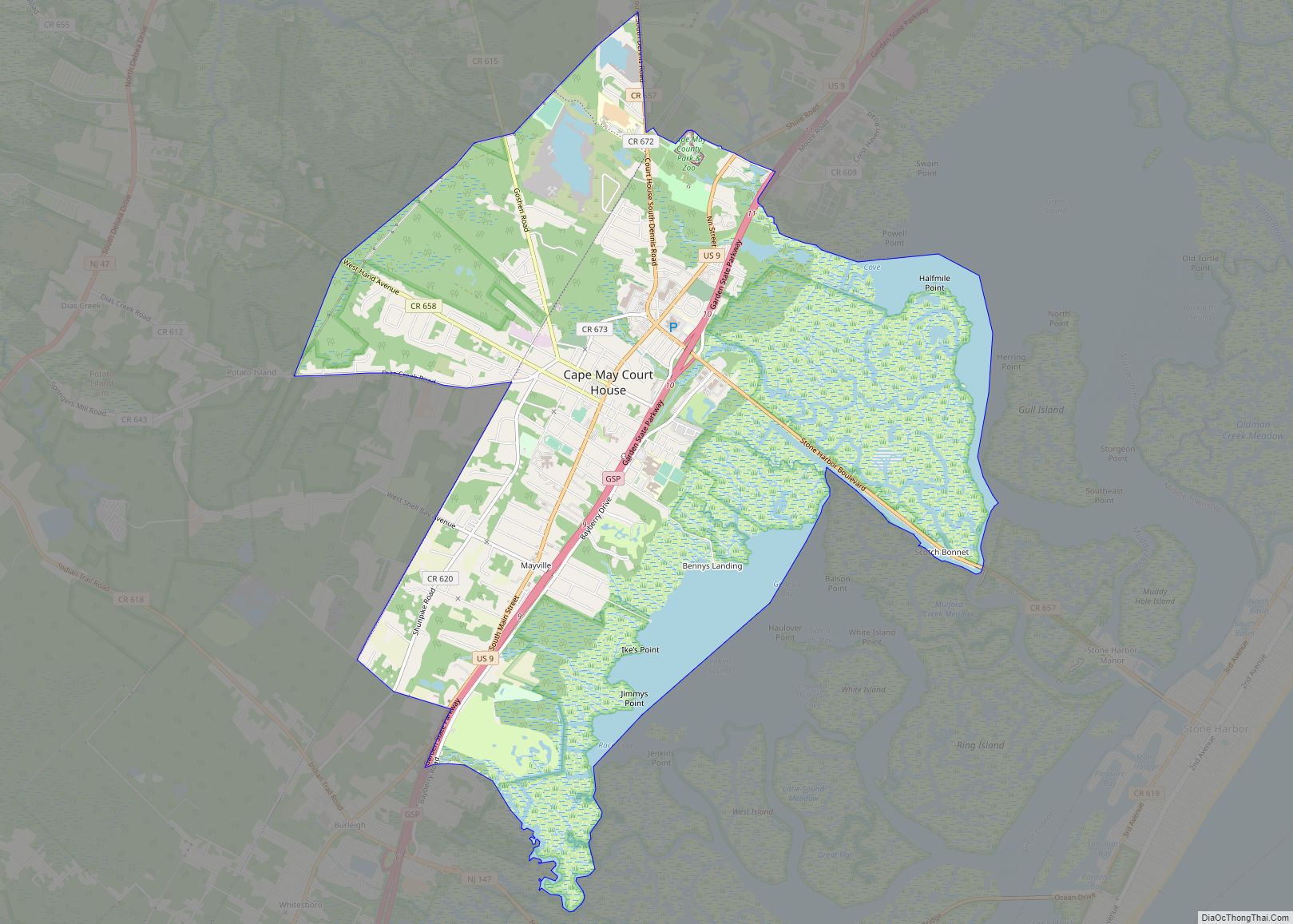
Cape May borders the Cape May County municipalities of Lower Township and West Cape May Borough, the Atlantic Ocean, and Delaware Bay. The Cape May–Lewes Ferry provides transportation across the Delaware Bay between North Cape May, New Jersey, and Lewes, Delaware.
Cape May Harbor, which borders Lower Township and nearby Wildwood Crest allows fishing vessels to enter from the Atlantic Ocean, was created as of 1911, after years of dredging completed the harbor which covers 500 acres (200 ha). Cape May Harbor Fest celebrates life in and around the harbor, with the 2011 event commemorating the 100th anniversary of the harbor’s creation.
Cape May is the southernmost point in New Jersey. It is at approximately the same latitude as Washington, D.C., and Arlington County, Virginia, and equidistant to Manhattan and Virginia.
Climate
According to the Köppen climate classification system, Cape May has a humid subtropical climate (Cfa) with hot, humid summers, cool winters and year-round precipitation. Its climate resembles that of its neighbor, the Delmarva Peninsula. During the summer months in Cape May, a cooling afternoon sea breeze is present on most days, but episodes of extreme heat and humidity can occur with heat index values at or above 95.0 °F (35.0 °C). During the winter months, episodes of extreme cold and wind can occur with wind chill values 0.0 °F (−17.8 °C). The hardiness zone of Cape May is 7b with an average annual extreme minimum air temperature of 10.8 °F (−11.8 °C). The average seasonal snowfall total is around 15 in (380 mm), and the average snowiest month is February which corresponds with the annual peak in nor’easter activity.
Ecology
According to the A. W. Kuchler U.S. potential natural vegetation types, Cape May would have a dominant vegetation type of Northern Cordgrass (73) with a dominant vegetation form of Coastal Prairie (20).
See also
Map of New Jersey State and its subdivision: Map of other states:- Alabama
- Alaska
- Arizona
- Arkansas
- California
- Colorado
- Connecticut
- Delaware
- District of Columbia
- Florida
- Georgia
- Hawaii
- Idaho
- Illinois
- Indiana
- Iowa
- Kansas
- Kentucky
- Louisiana
- Maine
- Maryland
- Massachusetts
- Michigan
- Minnesota
- Mississippi
- Missouri
- Montana
- Nebraska
- Nevada
- New Hampshire
- New Jersey
- New Mexico
- New York
- North Carolina
- North Dakota
- Ohio
- Oklahoma
- Oregon
- Pennsylvania
- Rhode Island
- South Carolina
- South Dakota
- Tennessee
- Texas
- Utah
- Vermont
- Virginia
- Washington
- West Virginia
- Wisconsin
- Wyoming